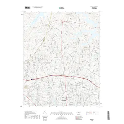
2000s (21st Century) Maps of Pickwick Village, Raleigh
Explore 11 historic maps of Pickwick Village from the 2000s (21st Century). These maps offer a rare glimpse into what life looked like during the 2000s — showing old roads, neighborhoods, homes, and landmarks that have changed or disappeared over time.
Whether you're researching your family's past, planning a metal detecting trip, or studying how Pickwick Village's landscape evolved across the 2000s, these high-resolution maps are a powerful tool for exploring the history of this region.
- Focus on a specific era: All maps on this page are from the 2000s, giving you a focused view of this time period.
- See what’s changed: Compare century-old streets, trails, and buildings to today's modern landscape using overlays and satellite layers.
- Research with precision: Use these maps for genealogy, historical research, land use analysis, or educational projects.
- View, download, or print: Maps are fully viewable online in high resolution, and can be downloaded or printed for your own records.
Start exploring Pickwick Village's history through authentic maps from the 2000s. This is your window into the past.
Pickwick Village, Raleigh maps
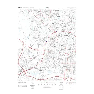
(11)- 2002 Map of Raleigh West, 2004 Print
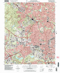 2002 Raleigh West2004 Print · USGSIn the early 2000s, West Raleigh was a landscape of significant academic and state institutions alongside expanding suburbs. Trace the footprints of North Carolina State University, the historic community of Method, and the grounds of Dorothea Dix State Hospital.
 - 2010 Map of Bayleaf, 2010 Print
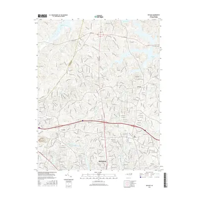
 2010 Bayleaf2010 Print · USGSCovers Pickwick Village, including Raleigh, Bayleaf, and other nearby areas
 - 2010 Map of Raleigh West, 2010 Print
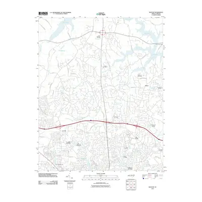
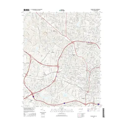
 2010 Raleigh West2010 Print · USGSCovers Pickwick Village, including Raleigh, Cary, and other nearby areas
 - 2013 Map of Bayleaf, 2013 Print
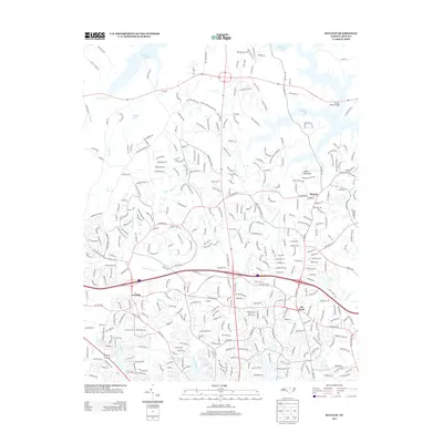 2013 Bayleaf2013 Print · USGSCovers Pickwick Village, including Raleigh, Bayleaf, and other nearby areas
 - 2013 Map of Raleigh West, 2013 Print
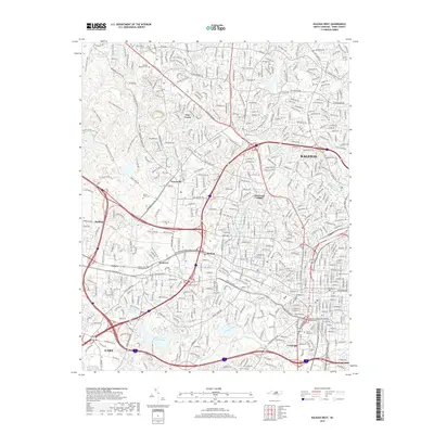
 2013 Raleigh West2013 Print · USGSCovers Pickwick Village, including Raleigh, Cary, and other nearby areas
 - 2016 Map of Bayleaf, 2016 Print
 2016 Bayleaf2016 Print · USGSCovers Pickwick Village, including Raleigh, Bayleaf, and other nearby areas
 - 2016 Map of Raleigh West, 2016 Print
 2016 Raleigh West2016 Print · USGSCovers Pickwick Village, including Raleigh, Cary, and other nearby areas
 - 2019 Map of Raleigh West, 2019 Print
 2019 Raleigh West2019 Print · USGSCovers Pickwick Village, including Raleigh, Cary, and other nearby areas
 - 2019 Map of Bayleaf, 2019 Print
 2019 Bayleaf2019 Print · USGSCovers Pickwick Village, including Raleigh, Bayleaf, and other nearby areas
 - 2022 Map of Bayleaf, 2022 Print
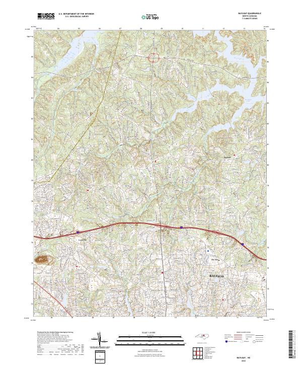 2022 Bayleaf2022 Print · USGSNorthern Wake County is shown here in its modern suburban form, where historical settlements and rural churches meet contemporary growth. Researchers can find long-standing landmarks like Mount Vernon Church and Bayleaf Church or trace the Neuse River shoreline.
 - 2022 Map of Raleigh West, 2022 Print
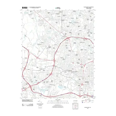
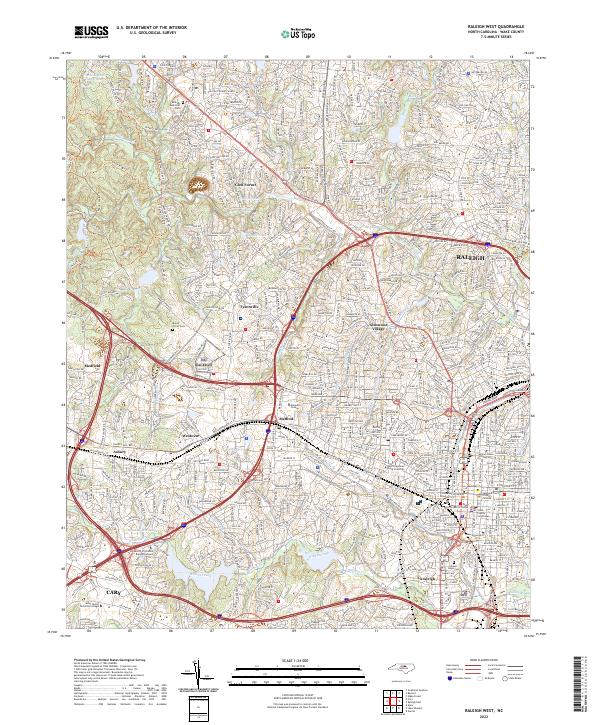 2022 Raleigh West2022 Print · USGSRaleigh and Cary are shown at a peak of modern growth in this Wake County survey. Researchers can trace historic neighborhoods and landmarks like Method, Mount Olivet Cem, and the sprawling campus of North Carolina State University.
End of results
Showing maps 1-11 of 11
Frequently asked questions
- What are the different types of historical maps available for Pickwick Village?
- What is the oldest map of Pickwick Village?
- Where can I purchase historical maps of Pickwick Village for my home or office?
- Where can I download high-res historical maps of Pickwick Village?
- Are there historical topographic maps available for Pickwick Village?
- Is there historical aerial imagery available for Pickwick Village?
- Where are historical maps of Pickwick Village sourced from?