2000s (21st Century) Maps of Valley Woods Mobile Estates Mobile Home Park, North Carolina
Explore 11 historic maps of Valley Woods Mobile Estates Mobile Home Park from the 2000s (21st Century). These maps offer a rare glimpse into what life looked like during the 2000s — showing old roads, neighborhoods, homes, and landmarks that have changed or disappeared over time.
Whether you're researching your family's past, planning a metal detecting trip, or studying how Valley Woods Mobile Estates Mobile Home Park's landscape evolved across the 2000s, these high-resolution maps are a powerful tool for exploring the history of this region.
- Focus on a specific era: All maps on this page are from the 2000s, giving you a focused view of this time period.
- See what’s changed: Compare century-old streets, trails, and buildings to today's modern landscape using overlays and satellite layers.
- Research with precision: Use these maps for genealogy, historical research, land use analysis, or educational projects.
- View, download, or print: Maps are fully viewable online in high resolution, and can be downloaded or printed for your own records.
Start exploring Valley Woods Mobile Estates Mobile Home Park's history through authentic maps from the 2000s. This is your window into the past.
Valley Woods Mobile Estates Mobile Home Park, NC maps
(11)- 2002 Map of Garner, 2004 Print
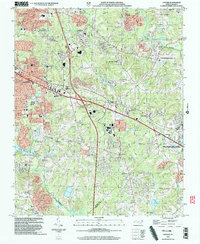 2002 Garner2004 Print · USGSGarner and southeast Raleigh are shown here just after the turn of the millennium as modern subdivisions began to surround traditional agricultural research lands. Researchers can trace family history through local landmarks like Hayes Chapel, Smith Cem, and the settlement of Auburn.
 - 2010 Map of Garner, 2010 Print
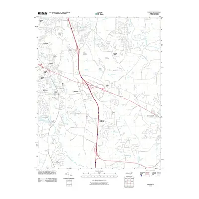 2010 Garner2010 Print · USGSGarner and the southern Raleigh suburbs are shown here in the early twenty-first century as modern neighborhoods expand across old family lands. Genealogists and local historians can locate small family burial grounds like Sauls Cemetery and Mitchiner Cemetery or the sprawling NCSU Central Research Station.
 - 2010 Map of Raleigh East, 2010 Print
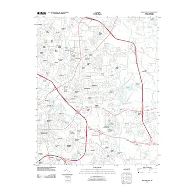 2010 Raleigh East2010 Print · USGSEastern Raleigh and its growing suburbs are captured here at the start of the 2010s. Genealogists and local historians can trace neighborhood development through numerous named subdivisions and local landmarks like Oakwood Cemetery, Falls Church, and the Millbrook Post Office.
 - 2013 Map of Garner, 2013 Print
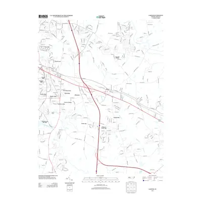 2013 Garner2013 Print · USGSThe suburban and riparian landscapes of Wake County are captured here in the early twenty-first century as the Raleigh area continued its outward growth. Researchers can pinpoint specific residential developments like Village of White Oak and School Acres or locate local landmarks like Bagwell Airport and Lake Benson.
 - 2013 Map of Raleigh East, 2013 Print
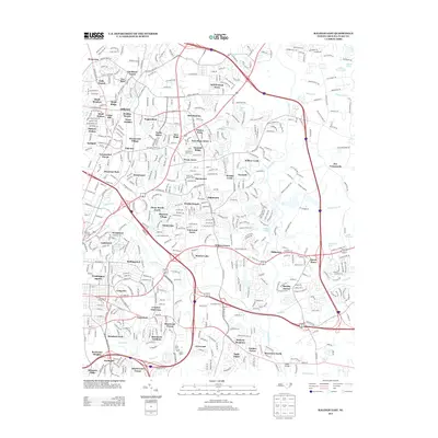 2013 Raleigh East2013 Print · USGSEastern Raleigh is shown in detail during its modern expansion, highlighting the suburban evolution of the state capital. Researchers can trace neighborhood growth through Millbrook, follow the course of the Neuse River, and locate landmarks like Milburnie Lake and Starmount.
 - 2016 Map of Raleigh East, 2016 Print
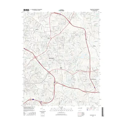 2016 Raleigh East2016 Print · USGSEastern Wake County at the height of its modern expansion shows the convergence of historic river crossings and rapid suburban growth. Researchers can trace the development of older communities like Milburnie and Knightdale alongside landmarks like Oakwood Cem and Poole Bridge.
 - 2016 Map of Garner, 2016 Print
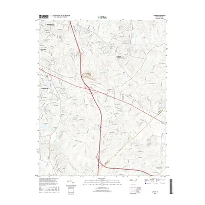 2016 Garner2016 Print · USGSThe transition from the state capital into the North Carolina coastal plain is evident in this mid-2010s look at the Wake and Johnston County border. Genealogists can trace numerous family burial sites like Mitchiner Cem and Rand Cem near the Neuse River.
 - 2019 Map of Garner, 2019 Print
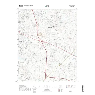 2019 Garner2019 Print · USGSThe Wake and Johnston county line comes alive in the late 2010s as Garner expands toward Clayton. Researchers can pinpoint family history at Hilliard Cem or Bagwell Cem and trace old landmarks like Bagwell Airport.
 - 2019 Map of Raleigh East, 2019 Print
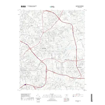 2019 Raleigh East2019 Print · USGSEastern Wake County at the turn of the decade shows the rapid expansion of the capital city toward the Neuse. Researchers can trace the modern development of Knightdale and Millbrook or locate landmarks like Oakwood Cem and Poole Bridge.
 - 2022 Map of Garner, 2022 Print
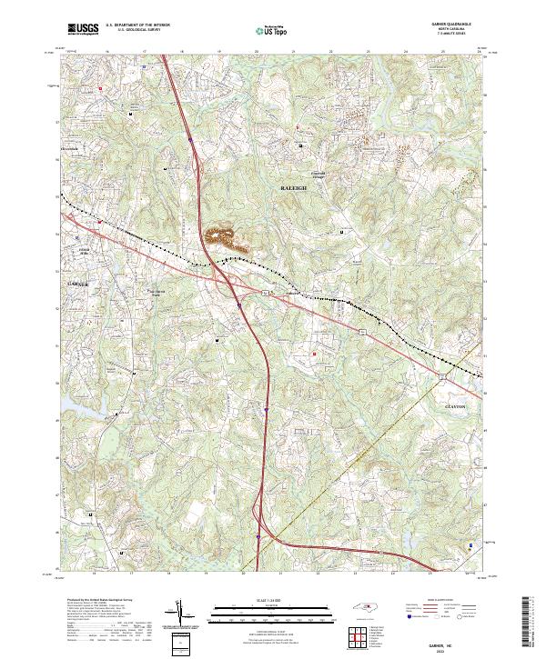 2022 Garner2022 Print · USGSThe Garner and Auburn corridor shows its modern residential character in this recent survey. Genealogists can locate family-named burial grounds like Turner Cem and Bagwell Cem or trace the Neuse River shoreline.
 - 2022 Map of Raleigh East, 2022 Print
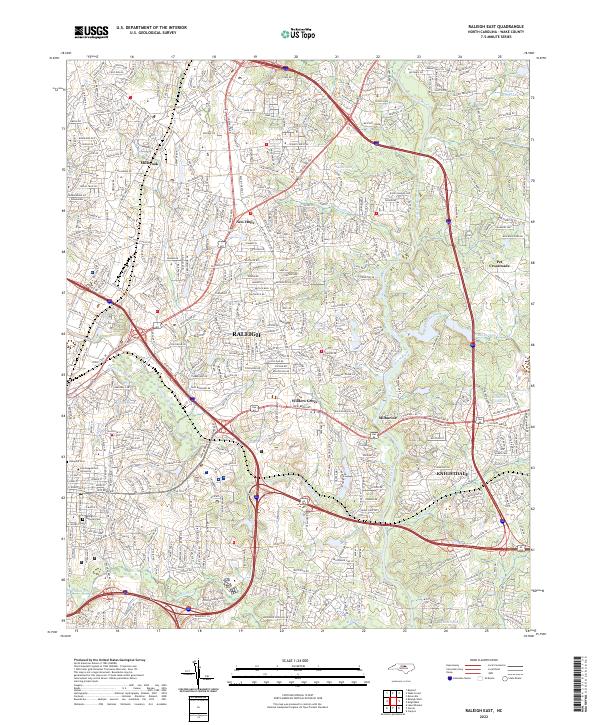 2022 Raleigh East2022 Print · USGSWake County's eastern expansion is documented in this contemporary survey as the state capital pushes toward the Neuse River. Researchers can trace the layout of historic institutions like Saint Augustine's University and Oakwood Cem alongside emerging suburban centers.
End of results
Showing maps 1-11 of 11
Frequently asked questions
- What are the different types of historical maps available for Valley Woods Mobile Estates Mobile Home Park?
- What is the oldest map of Valley Woods Mobile Estates Mobile Home Park?
- Where can I purchase historical maps of Valley Woods Mobile Estates Mobile Home Park for my home or office?
- Where can I download high-res historical maps of Valley Woods Mobile Estates Mobile Home Park?
- Are there historical topographic maps available for Valley Woods Mobile Estates Mobile Home Park?
- Is there historical aerial imagery available for Valley Woods Mobile Estates Mobile Home Park?
- Where are historical maps of Valley Woods Mobile Estates Mobile Home Park sourced from?