Old Maps of Meadowbrook, Wendell for Genealogy
Trace your family roots with 18 historic maps of Meadowbrook. These high-res maps reveal old neighborhoods, homesites, landmarks, and streets — helping you uncover where your ancestors lived and how the area evolved over time.
- Explore historic neighborhoods: Identify where your relatives may have lived in the 1800s or 1900s.
- Compare maps over time: Trace the changes in streets, buildings, and landmarks for multi-generational research.
- Perfect for genealogy & ancestry research: Used by family historians and researchers to map out lineage and migration.
These maps are an incredible resource for exploring your personal connection to Meadowbrook's past.
Meadowbrook, Wendell maps
(18)- 1953 Map of Raleigh, 1965 Print
 1953 Raleigh1965 Print · USGSCentral North Carolina in the early sixties shows a landscape of growing towns and military hubs before the full expansion of the interstate system. Genealogists can trace family footprints across the Piedmont through Wake Forest, Siler City, and the large Fort Bragg Military Reservation.4 unique versions available
 - 1954 Map of Raleigh
 1954 Raleigh1954 Print · USGSThe North Carolina Piedmont and Sandhills are captured in the mid-fifties during a period of steady regional growth. Genealogists and historians can trace the development of towns like Siler City or locate landmarks such as Falls of Neuse and Camp Mackall.
 - 1967 Map of Knightdale, 1972 Print
 1967 Knightdale1972 Print · USGSEastern Wake County comes into focus in the mid-1960s, showing the rural character and emerging infrastructure between the capital and the coastal plain. Genealogists and local historians can trace family locations near Lizard Lick, Eagle Rock, and Hephzibah Ch.4 unique versions available
 - 1968 Map of Zebulon, 1972 Print
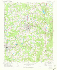 1968 Zebulon1972 Print · USGSThe eastern edges of Wake County meet Franklin and Nash in the late sixties, where small-town industry revolves around the rail lines. Local historians can trace family ties at St. Mathews Church or explore the origins of Lizard Lick and Wakefield.3 unique versions available
 - 1984 Map of Raleigh, 1985 Print
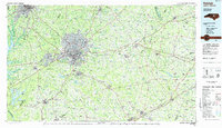 1984 Raleigh1985 Print · USGSThe North Carolina Research Triangle is shown during a decade of rapid growth, from the sprawl of Raleigh to the expanding waters of Falls Lake. Genealogists and historians can trace rail lines like the Seaboard Coast Line or locate landmark sites like Dorothea Dix State Hospital and Fuquay-Varina.
 - 1990 Map of Raleigh, 1991 Print
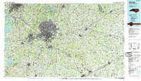 1990 Raleigh1991 Print · USGSGreater Raleigh and the Research Triangle entered a period of significant suburban growth during the 1990s. Researchers can trace the development of towns like Fuquay-Varina and Wake Forest or locate landmarks such as the State Prison and Harris Reservoir.2 unique versions available
 - 1993 Map of Knightdale, 1999 Print
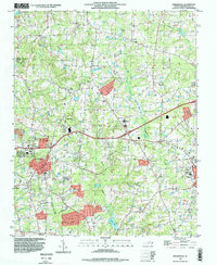 1993 Knightdale1999 Print · USGSWake County's rural and suburban interface comes into focus in the 1990s, highlighting the established town centers and surrounding crossroads. Local historians can trace the foundations of the community through Lizard Lick, Lake Myra, and the Wendell-Knightdale Airport.
 - 1999 Map of Zebulon, 2000 Print
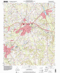 1999 Zebulon2000 Print · USGSZebulon and Wendell were thriving hubs in eastern Wake County at the turn of the millennium. Researchers can trace the layout of regional schools like Wakelon High School and locate rural landmarks such as Lizard Lick and Earpsboro.
 - 2010 Map of Zebulon, 2010 Print
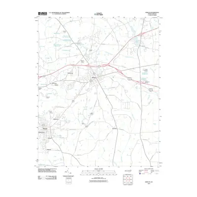 2010 Zebulon2010 Print · USGSEastern Wake County at the turn of the millennium shows a landscape of growing residential communities and longstanding rural outposts. Genealogists and local historians can trace family-named sites like Wakefield Cemetery or locate old crossroads like Lizard Lick and Earpsboro.
 - 2010 Map of Knightdale, 2010 Print
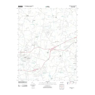 2010 Knightdale2010 Print · USGSEastern Wake County at the start of the 2010s shows a landscape of growing suburbs meeting traditional North Carolina crossroads. Researchers can trace the layout of small communities like Lizard Lick and Eagle Rock, alongside landmarks like Lake Myra and the Wendell-Knightdale Airport.
 - 2013 Map of Zebulon, 2013 Print
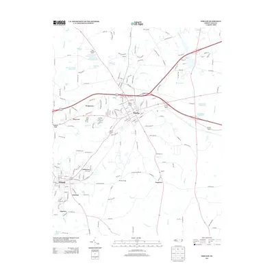 2013 Zebulon2013 Print · USGSZebulon and Wendell appear at a moment of transition in the early 2010s as suburban growth reached the eastern Wake County countryside. Researchers can trace local landmarks like Lizard Lick, the Morphus Bridge, and the Field of Dreams Airport.
 - 2013 Map of Knightdale, 2013 Print
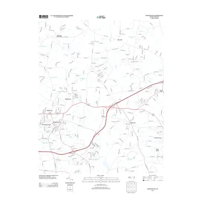 2013 Knightdale2013 Print · USGSWake County's suburban expansion and rural roots meet in this survey of the Knightdale area during the early twenty-first century. Researchers can trace local development across communities like Lizard Lick, Eagle Rock, and the Norfolk Southern rail line.
 - 2016 Map of Knightdale, 2016 Print
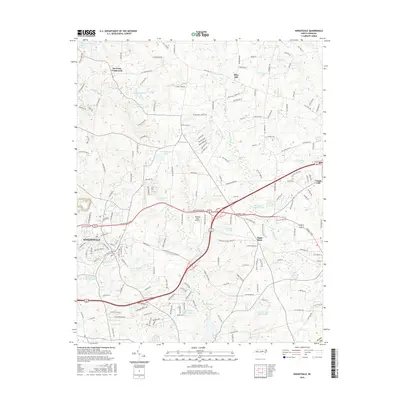 2016 Knightdale2016 Print · USGSThe eastern Wake County landscape comes into focus during this period of suburban growth and rural preservation. Genealogists and local historians can locate Six Forks Crossroads, the settlement of Lizard Lick, and community landmarks like Riley Hill School Rd.
 - 2016 Map of Zebulon, 2016 Print
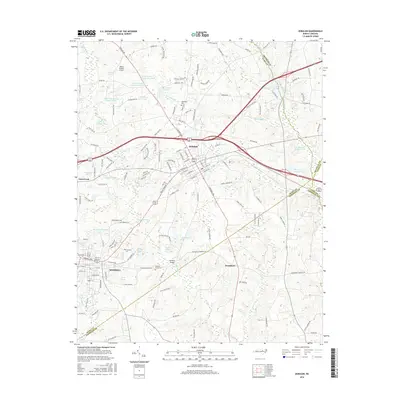 2016 Zebulon2016 Print · USGSWake County and its surrounding borders come to life in this mid-2010s survey of the growing corridor between Zebulon and Wendell. Genealogists and local historians can pinpoint Wakefield Cem, the unique community of Lizard Lick, and rural landmarks like Morphus Bridge.
 - 2019 Map of Zebulon, 2019 Print
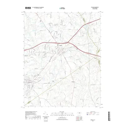 2019 Zebulon2019 Print · USGSEastern Wake County at the close of the 2010s shows a landscape of growing towns and intricate waterways. Researchers can trace property lines and local history through landmarks like Wakefield Cem, the community of Lizard Lick, and the Little River corridor.
 - 2019 Map of Knightdale, 2019 Print
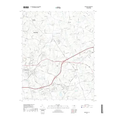 2019 Knightdale2019 Print · USGSWake County's eastern growth is captured here as the suburbs of Raleigh reach toward established communities like Lizard Lick and Wendell. Genealogists can trace family landmarks and early routes like Riley Hill, Six Forks Crossroads, and the Norfolk Southern line.
 - 2022 Map of Knightdale, 2022 Print
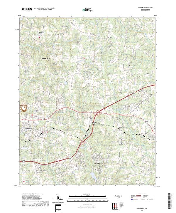 2022 Knightdale2022 Print · USGSEastern Wake County is captured here in the early 2020s, showing the continued growth of Knightdale and Wendell. Genealogists and local historians can trace the roads around Lizard Lick, Eagle Rock, and the Islamic Association of Raleigh Muslim Cem.
 - 2022 Map of Zebulon, 2022 Print
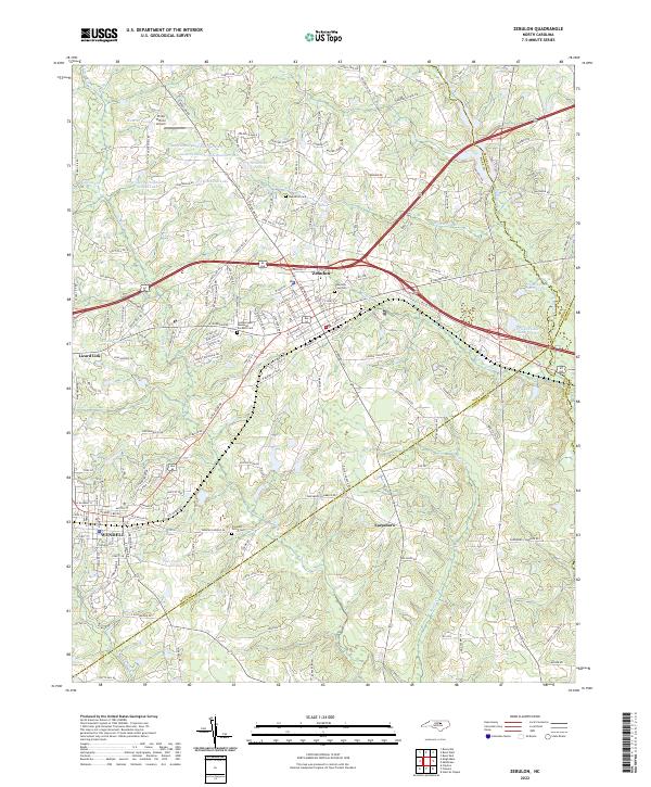 2022 Zebulon2022 Print · USGSWake County and Johnston County borders meet in this 2022 survey of the rapidly changing corridor between the growing towns of Zebulon and Wendell. Researchers can trace old family lines through Wakefield Cemetery, locate the site of Earpsboro, and explore the unique geography of Lizard Lick.
End of results
Showing maps 1-18 of 18
Frequently asked questions
- What are the different types of historical maps available for Meadowbrook?
- What is the oldest map of Meadowbrook?
- Where can I purchase historical maps of Meadowbrook for my home or office?
- Where can I download high-res historical maps of Meadowbrook?
- Are there historical topographic maps available for Meadowbrook?
- Is there historical aerial imagery available for Meadowbrook?
- Where are historical maps of Meadowbrook sourced from?