Old Maps of Arcola, North Carolina for Hiking & Exploration
Hike through history with 8 historic maps of Arcola. Explore old trails, ghost towns, and forgotten backroads — perfect for outdoor adventurers and local explorers.
- Rediscover forgotten places: Map out old mining camps, roads, and footpaths that no longer exist on modern maps.
- Layer with modern tools: Combine with LiDAR or satellite views to plan hikes through historical terrain.
- Made for exploration: Popular among hikers, overlanders, and local history lovers.
Use these maps to find adventure and explore the hidden past of Arcola.
Arcola, NC maps
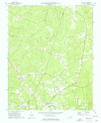
(8)- 1953 Map of Norfolk, 1954 Print
 1953 Norfolk1954 Print · USGSCoastal Virginia and northeastern North Carolina appear here during the post-war industrial boom, showing the critical rail-and-sea connections of Hampton Roads. Genealogists can trace family roots through rural landmarks like Gethsemane Ch, the Caledonia State Prison Farm, and the vast interior of the Dismal Swamp.4 unique versions available
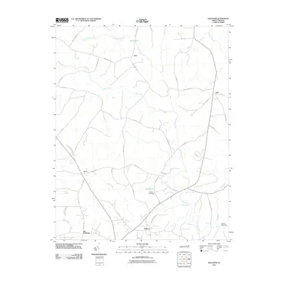
 - 1973 Map of Hollister, 1977 Print
 1973 Hollister1977 Print · USGSThe rural borderlands of Halifax and Warren Counties come into focus in the early 1970s, showing a landscape defined by creeks and country roads. Genealogists can locate family landmarks like White Rock Ch, Lees Chapel, and the timber-era remnants of the Porter Grade.
 - 1985 Map of Roanoke Rapids
 1985 Roanoke Rapids1985 Print · USGSNorthern North Carolina's river-driven economy is on display here in the mid-1980s, from the hydro-power at Roanoke Rapids to the rural millponds. Genealogists can trace family lands near Wiccacanee Pond, Mush Island, or the remote Urahaw Swamp.2 unique versions available
 - 2010 Map of Hollister, 2010 Print
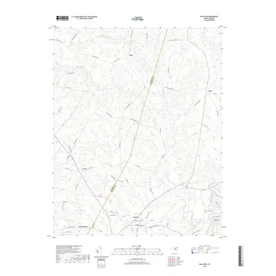
 2010 Hollister2010 Print · USGSCovers Arcola, including Old Bethlehem, Odell, and other nearby areas
 - 2013 Map of Hollister, 2013 Print
 2013 Hollister2013 Print · USGSCovers Arcola, including Old Bethlehem, Odell, and other nearby areas
 - 2016 Map of Hollister, 2016 Print
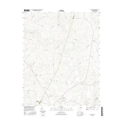 2016 Hollister2016 Print · USGSCovers Arcola, including Old Bethlehem, Odell, and other nearby areas
 - 2019 Map of Hollister, 2019 Print
 2019 Hollister2019 Print · USGSCovers Arcola, including Old Bethlehem, Odell, and other nearby areas
 - 2022 Map of Hollister, 2022 Print
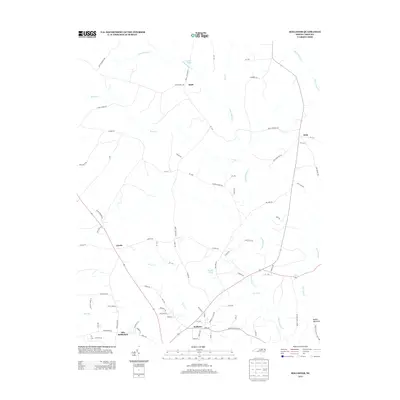
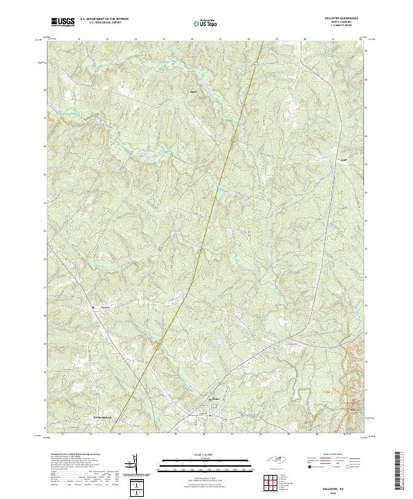 2022 Hollister2022 Print · USGSThe Haliwa-Saponi tribal lands near the Warren and Halifax county line are documented here in the early twenty-first century. Researchers can trace ancestral roads and landmarks like Old Bethlehem, Zion Hill Cemetery, and the slopes of Medoc Mountain.
End of results
Showing maps 1-8 of 8
Top cities near Arcola
- Rocky Mount historical maps
- Red Oak historical maps
- Norlina historical maps
- Warrenton historical maps
- Castalia historical maps
- Macon historical maps
See more
Frequently asked questions
- What are the different types of historical maps available for Arcola?
- What is the oldest map of Arcola?
- Where can I purchase historical maps of Arcola for my home or office?
- Where can I download high-res historical maps of Arcola?
- Are there historical topographic maps available for Arcola?
- Is there historical aerial imagery available for Arcola?
- Where are historical maps of Arcola sourced from?