2000s (21st Century) Maps of Pikeville, North Carolina
Explore 10 historic maps of Pikeville from the 2000s (21st Century). These maps offer a rare glimpse into what life looked like during the 2000s — showing old roads, neighborhoods, homes, and landmarks that have changed or disappeared over time.
Whether you're researching your family's past, planning a metal detecting trip, or studying how Pikeville's landscape evolved across the 2000s, these high-resolution maps are a powerful tool for exploring the history of this region.
- Focus on a specific era: All maps on this page are from the 2000s, giving you a focused view of this time period.
- See what’s changed: Compare century-old streets, trails, and buildings to today's modern landscape using overlays and satellite layers.
- Research with precision: Use these maps for genealogy, historical research, land use analysis, or educational projects.
- View, download, or print: Maps are fully viewable online in high resolution, and can be downloaded or printed for your own records.
Start exploring Pikeville's history through authentic maps from the 2000s. This is your window into the past.
Pikeville, NC maps
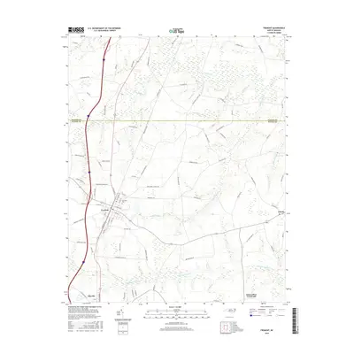
(10)- 2010 Map of Fremont, 2010 Print
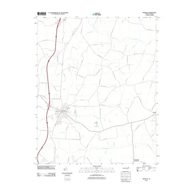 2010 Fremont2010 Print · USGSCovers Pikeville, including Fremont, Eureka, and other nearby areas
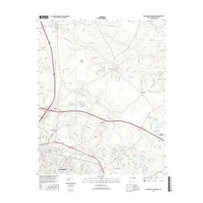
 - 2010 Map of Northeast Goldsboro, 2010 Print
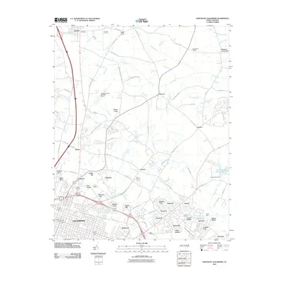 2010 Northeast Goldsboro2010 Print · USGSCovers Pikeville, including Goldsboro, Winbon Acres, and other nearby areas
 - 2013 Map of Fremont, 2013 Print
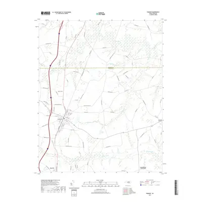
 2013 Fremont2013 Print · USGSCovers Pikeville, including Fremont, Eureka, and other nearby areas
 - 2013 Map of Northeast Goldsboro, 2013 Print
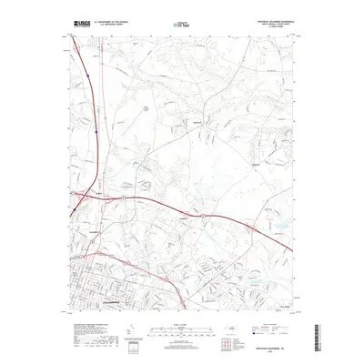
 2013 Northeast Goldsboro2013 Print · USGSCovers Pikeville, including Goldsboro, Winbon Acres, and other nearby areas
 - 2016 Map of Fremont, 2016 Print
 2016 Fremont2016 Print · USGSCovers Pikeville, including Fremont, Eureka, and other nearby areas
 - 2016 Map of Northeast Goldsboro, 2016 Print
 2016 Northeast Goldsboro2016 Print · USGSCovers Pikeville, including Goldsboro, Winbon Acres, and other nearby areas
 - 2019 Map of Northeast Goldsboro, 2019 Print
 2019 Northeast Goldsboro2019 Print · USGSCovers Pikeville, including Goldsboro, Winbon Acres, and other nearby areas
 - 2019 Map of Fremont, 2019 Print
 2019 Fremont2019 Print · USGSCovers Pikeville, including Fremont, Eureka, and other nearby areas
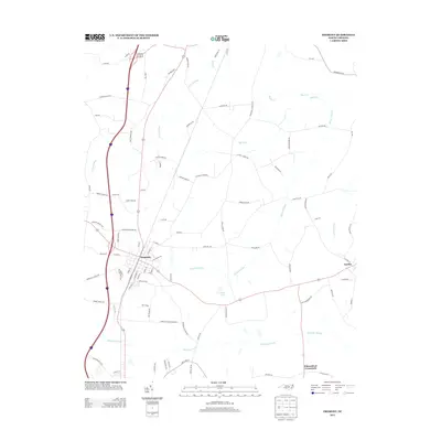
 - 2022 Map of Fremont, 2022 Print
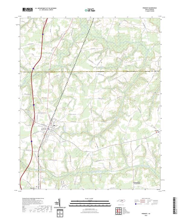 2022 Fremont2022 Print · USGSIn the modern era, the Wilson and Wayne County line remains a landscape of sprawling wetlands and rural crossroads. Researchers can trace family ties and historic routes through Fremont, Eureka, and landmarks like Elmwood Cem or Aycock Swamp.
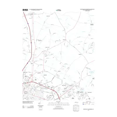
 - 2022 Map of Northeast Goldsboro, 2022 Print
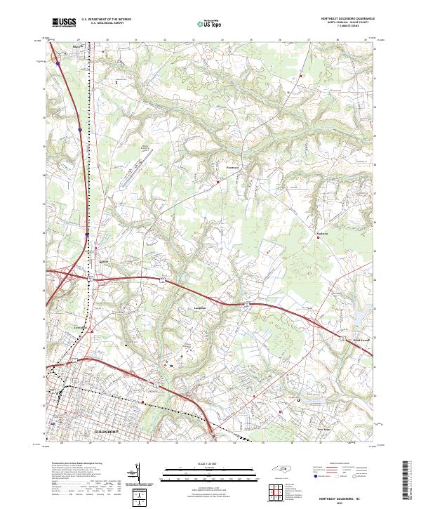 2022 Northeast Goldsboro2022 Print · USGSWayne County’s northern edge comes into focus during the early 2020s, revealing a landscape of historic crossroads and shifting rural boundaries. Researchers can trace family sites near Pikeville Cem or follow the paths of Stoney Cr and The Slough.
End of results
Showing maps 1-10 of 10
Top cities near Pikeville
- Wilson historical maps
- Goldsboro historical maps
- La Grange historical maps
- Fremont historical maps
- Kenly historical maps
- Princeton historical maps
See more
Top neighborhoods of Pikeville
Frequently asked questions
- What are the different types of historical maps available for Pikeville?
- What is the oldest map of Pikeville?
- Where can I purchase historical maps of Pikeville for my home or office?
- Where can I download high-res historical maps of Pikeville?
- Are there historical topographic maps available for Pikeville?
- Is there historical aerial imagery available for Pikeville?
- Where are historical maps of Pikeville sourced from?