2000s (21st Century) Maps of North Wilkesboro, North Carolina
Explore 10 historic maps of North Wilkesboro from the 2000s (21st Century). These maps offer a rare glimpse into what life looked like during the 2000s — showing old roads, neighborhoods, homes, and landmarks that have changed or disappeared over time.
Whether you're researching your family's past, planning a metal detecting trip, or studying how North Wilkesboro's landscape evolved across the 2000s, these high-resolution maps are a powerful tool for exploring the history of this region.
- Focus on a specific era: All maps on this page are from the 2000s, giving you a focused view of this time period.
- See what’s changed: Compare century-old streets, trails, and buildings to today's modern landscape using overlays and satellite layers.
- Research with precision: Use these maps for genealogy, historical research, land use analysis, or educational projects.
- View, download, or print: Maps are fully viewable online in high resolution, and can be downloaded or printed for your own records.
Start exploring North Wilkesboro's history through authentic maps from the 2000s. This is your window into the past.
North Wilkesboro, NC maps
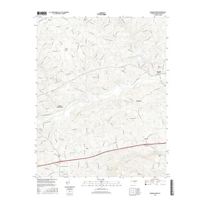
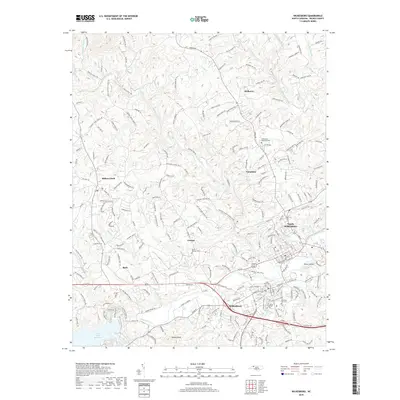
(10)- 2010 Map of Wilkesboro, 2010 Print
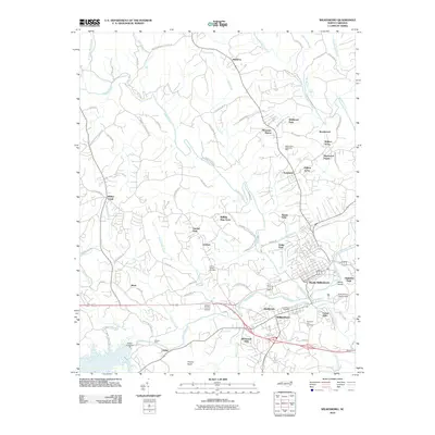 2010 Wilkesboro2010 Print · USGSCovers North Wilkesboro, including Wilkesboro, Adley, and other nearby areas
 - 2010 Map of Roaring River, 2010 Print
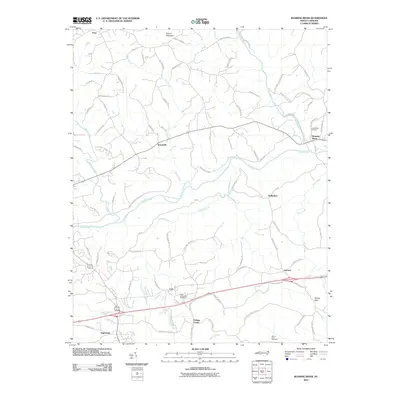 2010 Roaring River2010 Print · USGSCovers North Wilkesboro, including Antioch, Hays, and other nearby areas
 - 2013 Map of Wilkesboro, 2013 Print
 2013 Wilkesboro2013 Print · USGSCovers North Wilkesboro, including Wilkesboro, Adley, and other nearby areas
 - 2013 Map of Roaring River, 2013 Print
 2013 Roaring River2013 Print · USGSCovers North Wilkesboro, including Antioch, Hays, and other nearby areas
 - 2016 Map of Roaring River, 2016 Print
 2016 Roaring River2016 Print · USGSCovers North Wilkesboro, including Antioch, Hays, and other nearby areas
 - 2016 Map of Wilkesboro, 2016 Print
 2016 Wilkesboro2016 Print · USGSCovers North Wilkesboro, including Wilkesboro, Adley, and other nearby areas
 - 2019 Map of Wilkesboro, 2019 Print
 2019 Wilkesboro2019 Print · USGSCovers North Wilkesboro, including Wilkesboro, Adley, and other nearby areas
 - 2019 Map of Roaring River, 2019 Print
 2019 Roaring River2019 Print · USGSCovers North Wilkesboro, including Antioch, Hays, and other nearby areas
 - 2022 Map of Roaring River, 2022 Print
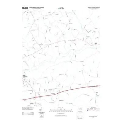
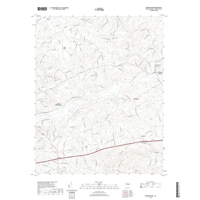
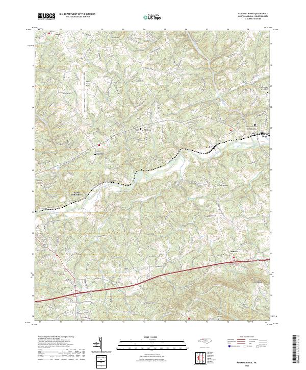 2022 Roaring River2022 Print · USGSWilkes County at the start of the 2020s shows a landscape where river valleys and ridge roads connect historic rural communities. Researchers can trace family sites at Mount Sinai Cem, Antioch, and the Liberty Grove Baptist Church Cem.
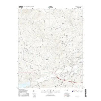
 - 2022 Map of Wilkesboro, 2022 Print
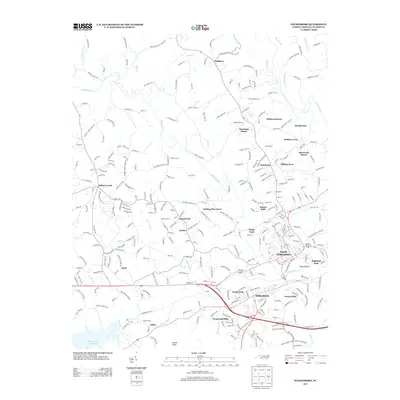
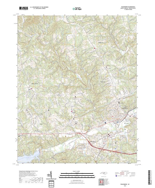 2022 Wilkesboro2022 Print · USGSWilkesboro and North Wilkesboro are shown at their modern confluence in this 2022 survey. Genealogists can trace local roots at the Osbourne Family Cem, Saint Pauls Cem, and Harmony Baptist Church Cem.
End of results
Showing maps 1-10 of 10
Top cities near North Wilkesboro
Top neighborhoods of North Wilkesboro
Frequently asked questions
- What are the different types of historical maps available for North Wilkesboro?
- What is the oldest map of North Wilkesboro?
- Where can I purchase historical maps of North Wilkesboro for my home or office?
- Where can I download high-res historical maps of North Wilkesboro?
- Are there historical topographic maps available for North Wilkesboro?
- Is there historical aerial imagery available for North Wilkesboro?
- Where are historical maps of North Wilkesboro sourced from?