Old Maps of Pine Haven, Wilson County for Academic Research
Study the evolution of Pine Haven with 12 high-resolution historic maps. Whether you're teaching, researching, or modeling changes in land use, these maps provide essential visual documentation of urban, environmental, and geographic change.
- Analyze long-term change: Track patterns in development, transportation, and natural features.
- Ideal for environmental or urban studies: Support academic projects with primary historical map data.
- Use in the classroom or lab: Educators and researchers rely on these maps to bring historical context to life.
These maps are a powerful tool for teaching, research, and visualizing how Pine Haven has changed over the decades.
Pine Haven, Wilson County maps
(12)- 1902 Map of Rocky Mount, 1965 Print
 1902 Rocky Mount1965 Print · USGSThe coastal plain of North Carolina comes alive in this early survey of the rail and river corridors between Nashville and Rocky Mount. Genealogists can trace early landmarks like Snells Crossroads, the Rocky Mount Mills, and Elm City.
 - 1904 Map of Rocky Mount, 1942 Print
 1904 Rocky Mount1942 Print · USGSThe Tar River and the rail hubs of eastern North Carolina come alive in this early twentieth-century survey. Genealogists and local historians can trace the growth of Rocky Mount and Nashville, or locate vanished industrial landmarks like the Upper Falls Rocky Mount Mills and Finch Mill.
 - 1953 Map of Rocky Mount, 1964 Print
 1953 Rocky Mount1964 Print · USGSEastern North Carolina in the mid-fifties is defined by its deep river basins and the vast wetlands of the Tidewater. Genealogists can trace family roots through hubs like Kinston and New Bern or explore the wilderness of Pettigrew State Park and Lake Mattamuskeet.4 unique versions available
 - 1954 Map of Rocky Mount
 1954 Rocky Mount1954 Print · USGSEastern North Carolina is mapped in the mid-fifties, showing a landscape of sounds, swamps, and steam-era rail lines. Genealogists can trace the rural road networks and rail spurs connecting towns like Tarboro, Greenville, and the remote Columbia.
 - 1977 Map of Winstead Crossroads
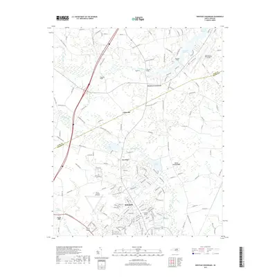
 1977 Winstead Crossroads1977 Print · USGSCoastal Plain farmland and growing aviation hubs meet at the Nash and Wilson county line during the late seventies. Researchers can trace the heritage of rural communities through local landmarks like Winstead Crossroads, Finch Mill, and Tar River Sch.
 - 1985 Map of Rocky Mount
 1985 Rocky Mount1985 Print · USGSThe eastern North Carolina coastal plain in the mid-eighties shows a landscape defined by its river-and-rail heritage. Genealogists and local historians can trace the development of Rocky Mount, Greenville, and Wilson, or locate landmarks like East Carolina University and the Voice of America site.2 unique versions available
 - 1998 Map of Winstead Crossroads, 2001 Print
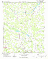
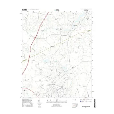
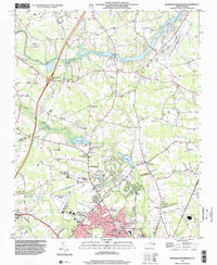 1998 Winstead Crossroads2001 Print · USGSWilson and its northern rural reaches are shown in the late nineties as they transition from agrarian crossroads to modern development. Genealogists can trace family landmarks and rural congregations like Rick Grove Ch, Dunn Crossroads, and the sprawling Evergreen Memorial Gardens.
 - 2010 Map of Winstead Crossroads, 2010 Print
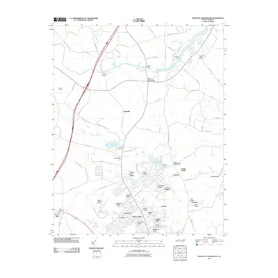 2010 Winstead Crossroads2010 Print · USGSCovers Pine Haven, including Wilson, Branshermill, and other nearby areas
 - 2013 Map of Winstead Crossroads, 2013 Print
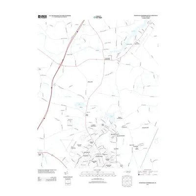 2013 Winstead Crossroads2013 Print · USGSCovers Pine Haven, including Wilson, Branshermill, and other nearby areas
 - 2016 Map of Winstead Crossroads, 2016 Print
 2016 Winstead Crossroads2016 Print · USGSCovers Pine Haven, including Wilson, Branshermill, and other nearby areas
 - 2019 Map of Winstead Crossroads, 2019 Print
 2019 Winstead Crossroads2019 Print · USGSCovers Pine Haven, including Wilson, Branshermill, and other nearby areas
 - 2022 Map of Winstead Crossroads, 2022 Print
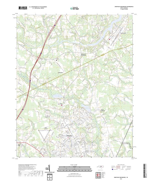 2022 Winstead Crossroads2022 Print · USGSThe northern edge of the coastal plain in the early 2020s shows the expansion of Wilson toward rural crossroads. Researchers can trace family sites at the Crumpler - Stallings Cem or explore the drainage of Toisnot Swamp and Finch Mill.
End of results
Showing maps 1-12 of 12
Frequently asked questions
- What are the different types of historical maps available for Pine Haven?
- What is the oldest map of Pine Haven?
- Where can I purchase historical maps of Pine Haven for my home or office?
- Where can I download high-res historical maps of Pine Haven?
- Are there historical topographic maps available for Pine Haven?
- Is there historical aerial imagery available for Pine Haven?
- Where are historical maps of Pine Haven sourced from?