Old Maps of East Bend, North Carolina for Genealogy
Trace your family roots with 20 historic maps of East Bend. These high-res maps reveal old neighborhoods, homesites, landmarks, and streets — helping you uncover where your ancestors lived and how the area evolved over time.
- Explore historic neighborhoods: Identify where your relatives may have lived in the 1800s or 1900s.
- Compare maps over time: Trace the changes in streets, buildings, and landmarks for multi-generational research.
- Perfect for genealogy & ancestry research: Used by family historians and researchers to map out lineage and migration.
These maps are an incredible resource for exploring your personal connection to East Bend's past.
East Bend, NC maps
(20)- 1891 Map of Yadkinville, 1964 Print
 1891 Yadkinville1964 Print · USGSSurry and Yadkin counties are shown here in the late nineteenth century as the river-and-rail economy began to reshape the Piedmont. Genealogists can trace family landmarks and early crossings like Kapps Mill, Poindexter Ferry, and Cross Roads Church.
 - 1893 Map of Yadkinville, 1944 Print
 1893 Yadkinville1944 Print · USGSNorthwest North Carolina at the close of the nineteenth century was a landscape of river-dependent commerce and mountain ridges. Researchers can trace the early industrial footprint of Kapps Mill, locate remote river crossings like Douglass Ford, and follow the progress of the Cape Fear and Yadkin Valley Railroad.
 - 1953 Map of Winston-Salem, 1974 Print
 1953 Winston-Salem1974 Print · USGSThe North Carolina Piedmont and Virginia highlands meet in the mid-1950s, a landscape defined by the tobacco and textile hubs of the Blue Ridge foothills. Researchers can trace the rail-and-river geography connecting Winston-Salem to mountain towns like Mount Airy and Galax.2 unique versions available
 - 1955 Map of Winston-Salem
 1955 Winston-Salem1955 Print · USGSThe Central Blue Ridge and Piedmont transition are captured here in the mid-fifties, from the industrial hub of Winston-Salem to the high peaks of Southwest Virginia. Genealogists can trace family landmarks like Richmond Hill Ch, Siloam Ch, and the old rail stops along the Southern Railway.
 - 1962 Map of Winston-Salem
 1962 Winston-Salem1962 Print · USGSThe North Carolina Piedmont meets the Virginia highlands in the early sixties, showing the rail corridors and mountain gaps of the southern Appalachians. Researchers can trace the Blue Ridge Parkway or locate family sites near Winston-Salem, Mount Airy, and Hanging Rock Mountain.
 - 1966 Map of East Bend, 1967 Print
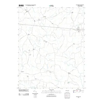
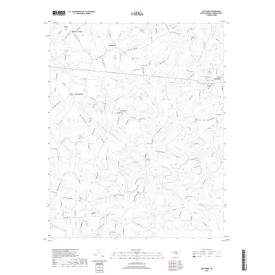
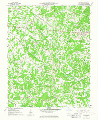 1966 East Bend1967 Print · USGSYadkin County in the mid-1960s is a landscape of established rural communities and winding creeks. Local historians can trace family roots through numerous country churches and cemeteries, including Union Grove Ch, Patterson Grove Ch, and the settlement of Smithtown.
 - 1968 Map of Vienna, 1970 Print
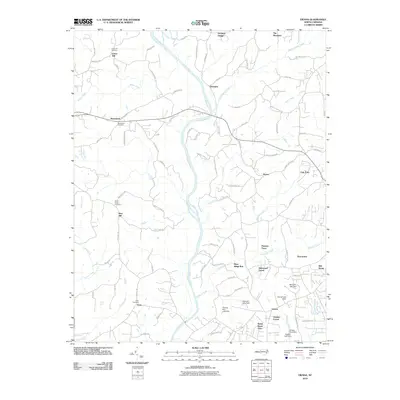
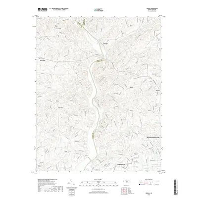
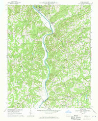 1968 Vienna1970 Print · USGSThe Yadkin River valley in the late sixties reveals a landscape of rural congregations and small river-adjacent communities. Researchers can locate family landmarks like New Bethel Cem Ch or trace the early paths of the Southern railroad and the local Drag Strip.2 unique versions available
 - 1984 Map of Winston-Salem, 1985 Print
 1984 Winston-Salem1985 Print · USGSThe North Carolina Piedmont in the mid-1980s shows the growth of Winston-Salem and the busy rail corridors of the Southern Railway. Genealogists and local historians can trace family-named lands and rural communities from Yadkinville to Mount Airy.2 unique versions available
 - 1996 Map of East Bend, 2000 Print
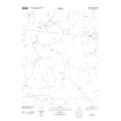
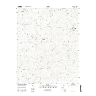
 1996 East Bend2000 Print · USGSYadkin County's rolling landscape is shown here in the mid-nineties, centering on the rural community of East Bend. Genealogists and local historians can trace family locations near Half Creek Tabernacle, Richmond Hill, and Smithtown.
 - 1997 Map of Vienna, 2000 Print
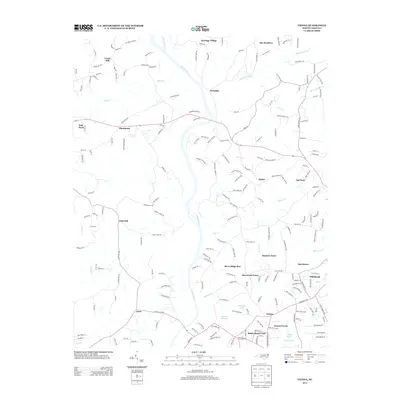
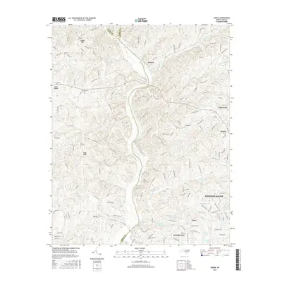
 1997 Vienna2000 Print · USGSThe Yadkin River valley in the late 1990s reveals a landscape of enduring rural communities and family landmarks. Genealogists and local historians can trace the foundations of Vienna, East Bend, and Seward through features like Union Hill, the Benbow Chapel, and the Old Richmond Sch.
 - 2010 Map of East Bend, 2010 Print
 2010 East Bend2010 Print · USGSCovers East Bend, including Smithtown, Sugartown, and other nearby areas
 - 2010 Map of Vienna, 2010 Print
 2010 Vienna2010 Print · USGSCovers East Bend, including Winston-Salem, Lewisville, and other nearby areas
 - 2013 Map of East Bend, 2013 Print
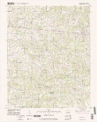
 2013 East Bend2013 Print · USGSCovers East Bend, including Smithtown, Sugartown, and other nearby areas
 - 2013 Map of Vienna, 2013 Print
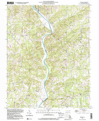
 2013 Vienna2013 Print · USGSCovers East Bend, including Winston-Salem, Lewisville, and other nearby areas
 - 2016 Map of East Bend, 2016 Print
 2016 East Bend2016 Print · USGSCovers East Bend, including Smithtown, Sugartown, and other nearby areas
 - 2016 Map of Vienna, 2016 Print
 2016 Vienna2016 Print · USGSCovers East Bend, including Winston-Salem, Lewisville, and other nearby areas
 - 2019 Map of East Bend, 2019 Print
 2019 East Bend2019 Print · USGSCovers East Bend, including Smithtown, Sugartown, and other nearby areas
 - 2019 Map of Vienna, 2019 Print
 2019 Vienna2019 Print · USGSCovers East Bend, including Winston-Salem, Lewisville, and other nearby areas
 - 2022 Map of East Bend, 2022 Print
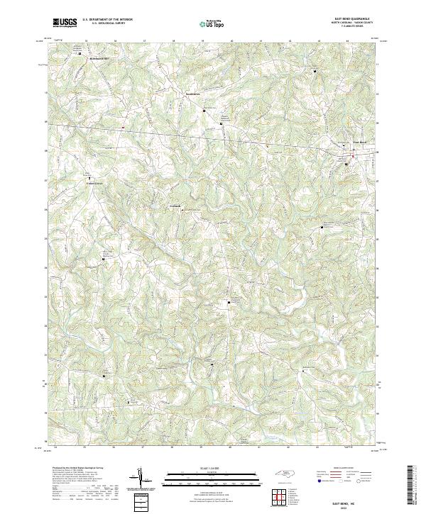 2022 East Bend2022 Print · USGSYadkin County's rolling ridge country is revealed in this modern survey, showing a landscape defined by historic hamlets and religious heritage. Genealogists can trace family footprints at Richmond Hill, East Bend Cemetery, and the Union Cross Friends Meeting.
 - 2023 Map of Vienna, 2023 Print
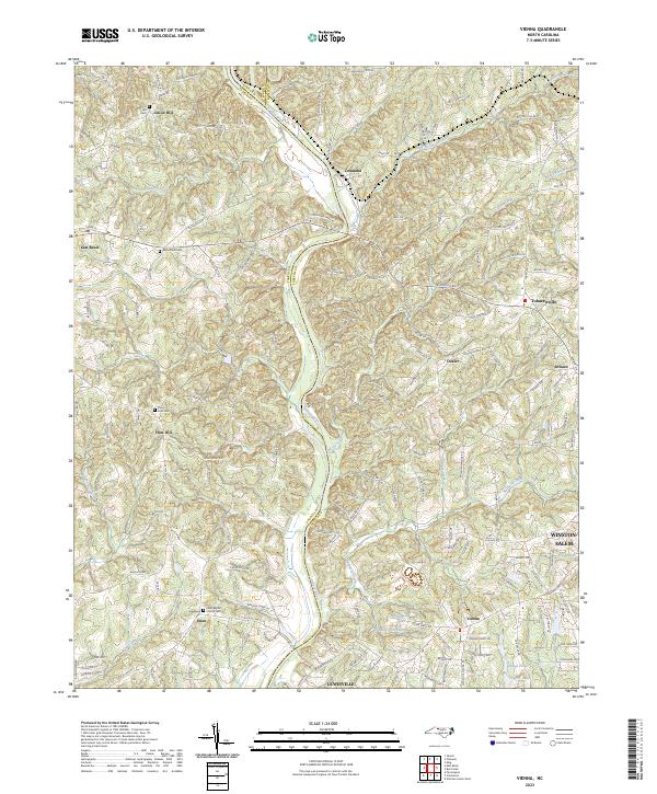 2023 Vienna2023 Print · USGSNorthwestern Forsyth and eastern Yadkin counties are shown here in the 2020s, centered on the Yadkin River corridor. Genealogists and local historians can trace family connections through landmarks like Union Hill Cem, Tobaccoville, and the Enon Baptist Church.
End of results
Showing maps 1-20 of 20
Top cities near East Bend
- Winston-Salem historical maps
- Clemmons historical maps
- Lewisville historical maps
- Yadkinville historical maps
- Rural Hall historical maps
- Bermuda Run historical maps
See more
Frequently asked questions
- What are the different types of historical maps available for East Bend?
- What is the oldest map of East Bend?
- Where can I purchase historical maps of East Bend for my home or office?
- Where can I download high-res historical maps of East Bend?
- Are there historical topographic maps available for East Bend?
- Is there historical aerial imagery available for East Bend?
- Where are historical maps of East Bend sourced from?