2020s Maps of Brimer Township, North Dakota
Explore 8 historic maps of Brimer Township from the 2020s. These maps offer a rare glimpse into what life looked like during the 2020s — showing old roads, neighborhoods, homes, and landmarks that have changed or disappeared over time.
Whether you're researching your family's past, planning a metal detecting trip, or studying how Brimer Township's landscape evolved across the 2020s, these high-resolution maps are a powerful tool for exploring the history of this region.
- Focus on a specific era: All maps on this page are from the 2020s, giving you a focused view of this time period.
- See what’s changed: Compare century-old streets, trails, and buildings to today's modern landscape using overlays and satellite layers.
- Research with precision: Use these maps for genealogy, historical research, land use analysis, or educational projects.
- View, download, or print: Maps are fully viewable online in high resolution, and can be downloaded or printed for your own records.
Start exploring Brimer Township's history through authentic maps from the 2020s. This is your window into the past.
Brimer Township, ND maps
(8)- 2020 Map of Eckelson, 2020 Print
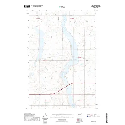 2020 Eckelson2020 Print · USGSCovers Brimer Township, including Eckelson, Eckelson Township, and other nearby areas
 - 2020 Map of Spiritwood, 2020 Print
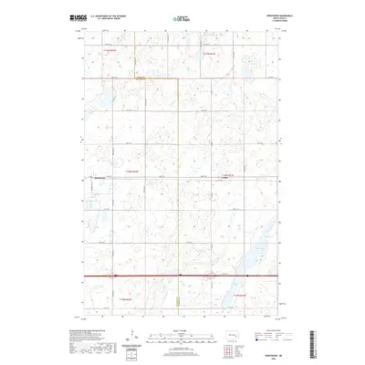 2020 Spiritwood2020 Print · USGSCovers Brimer Township, including Spiritwood, Eckelson Township, and other nearby areas
 - 2020 Map of Leal, 2020 Print
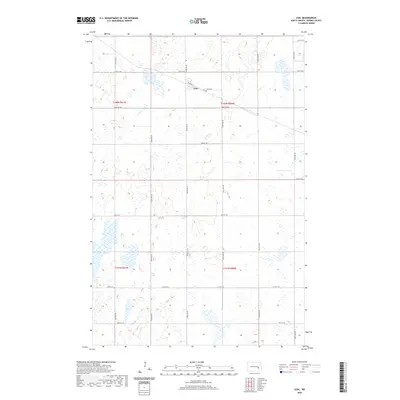 2020 Leal2020 Print · USGSCovers Brimer Township, including Leal, Anderson Township, and other nearby areas
 - 2020 Map of Clementsville, 2020 Print
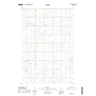 2020 Clementsville2020 Print · USGSCovers Brimer Township, including Uxbridge Township, Durupt, and other nearby areas
 - 2024 Map of Spiritwood, 2024 Print
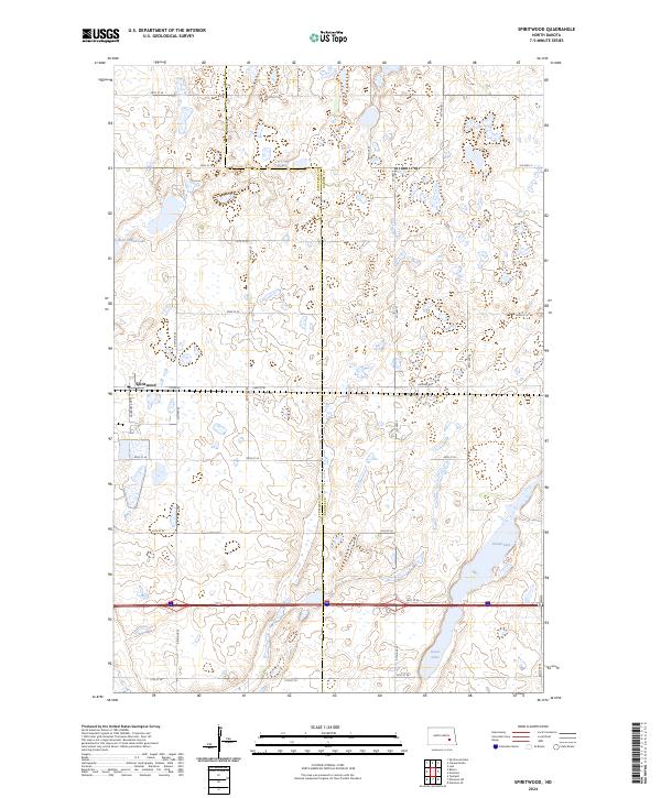 2024 Spiritwood2024 Print · USGSSpiritwood and the surrounding prairie wetlands appear in this contemporary 2024 survey at the Stutsman Co Barnes Co border. Researchers can trace the layout of Spiritwood and explore the protected habitats of Island Lake and Goose Lake.
 - 2024 Map of Eckelson, 2024 Print
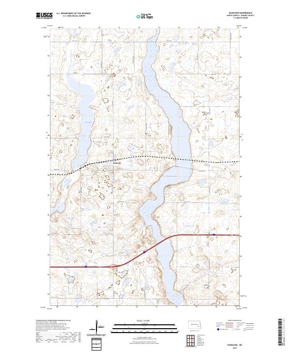 2024 Eckelson2024 Print · USGSThe rural landscape of Barnes County is captured here in the early 2020s, centered on the community of Eckelson. Researchers can trace the protected wetlands of the Barnes County Waterfowl Production Area and shoreline of Eckelson Lake.
 - 2024 Map of Leal, 2024 Print
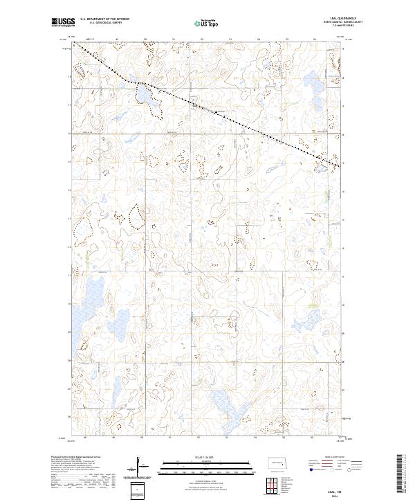 2024 Leal2024 Print · USGSThe rural landscape of central Barnes County is captured here in the early twenty-first century, centered on the community of Leal. Local researchers can trace the footprint of the village along Railway St or locate family roots at the Leal Cem.
 - 2024 Map of Clementsville, 2024 Print
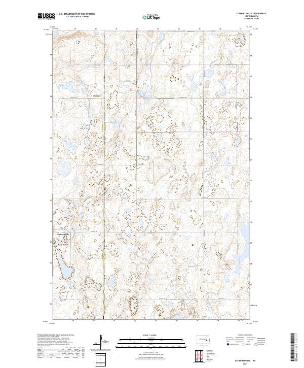 2024 Clementsville2024 Print · USGSThe Barnes and Stutsman county line in North Dakota is captured here in the contemporary era, showing a landscape of prairie potholes and agricultural tracts. Researchers can trace the local road network around Clementsville and the Barnes County Waterfowl Production Area.
End of results
Showing maps 1-8 of 8
Top cities near Brimer Township
- Jamestown historical maps
- Bloom historical maps
- Wimbledon historical maps
- Sanborn historical maps
- Eckelson historical maps
- Dazey historical maps
See more
Frequently asked questions
- What are the different types of historical maps available for Brimer Township?
- What is the oldest map of Brimer Township?
- Where can I purchase historical maps of Brimer Township for my home or office?
- Where can I download high-res historical maps of Brimer Township?
- Are there historical topographic maps available for Brimer Township?
- Is there historical aerial imagery available for Brimer Township?
- Where are historical maps of Brimer Township sourced from?