Old Maps of Hemen Township, North Dakota for Hiking & Exploration
Hike through history with 28 historic maps of Hemen Township. Explore old trails, ghost towns, and forgotten backroads — perfect for outdoor adventurers and local explorers.
- Rediscover forgotten places: Map out old mining camps, roads, and footpaths that no longer exist on modern maps.
- Layer with modern tools: Combine with LiDAR or satellite views to plan hikes through historical terrain.
- Made for exploration: Popular among hikers, overlanders, and local history lovers.
Use these maps to find adventure and explore the hidden past of Hemen Township.
Hemen Township, ND maps
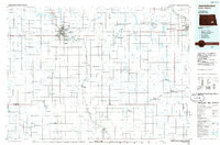
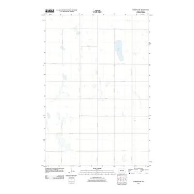
(28)- 1897 Map of Eckelson
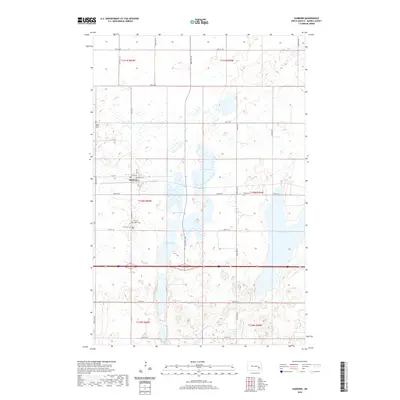
 1897 Eckelson1897 Print · USGSEastern North Dakota in the late nineteenth century was a land defined by the iron rail and a network of glacial lakes. Genealogists can trace early homesteads and rail stops near Valley City, Sanborn, and the isolated post office at Svea.3 unique versions available
 - 1953 Map of Jamestown
 1953 Jamestown1953 Print · USGSSoutheastern North Dakota was a thriving rail and agricultural corridor in the early fifties, anchored by the James River. Researchers can trace the footprints of institutional landmarks like the North Dakota State Hospital and historic sites such as Whitestone Hill Battlefield Park.3 unique versions available
 - 1956 Map of Jamestown
 1956 Jamestown1956 Print · USGSThe James River valley and the vast alkali lake country of south-central North Dakota are captured here in the mid-fifties. Genealogists can trace family farms across several counties, locating small rail stops like Medberry and monuments like Whitestone Hill Battlefield Park.
 - 1970 Map of Eckelson, 1973 Print
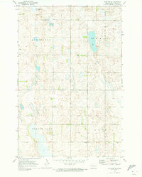
 1970 Eckelson1973 Print · USGSNorth Dakota's prairie pothole region is captured here in the early seventies, centered on the railroad town of Eckelson. Researchers can trace the legacy of the land through water features like Eckelson Lake and the industrial footprint of the Burlington Northern line.
 - 1970 Map of Moon Lake, 1973 Print
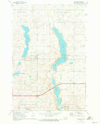
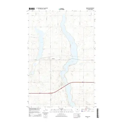
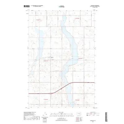
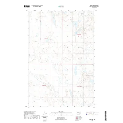
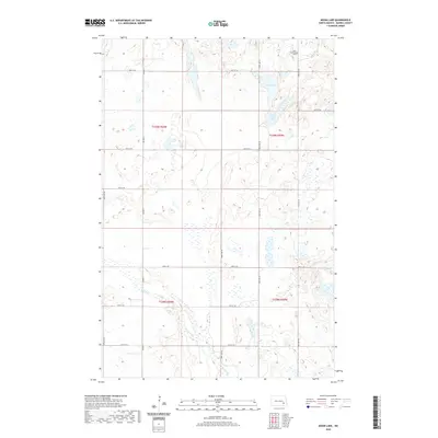
 1970 Moon Lake1973 Print · USGSBarnes County prairie life is centered around the glacial waters of Moon Lake and St Marys Lake during the early seventies. Genealogists and researchers can locate the Townhall in Hemen or trace the course of Spring Creek through Svea.
 - 1970 Map of Sanborn, 1973 Print
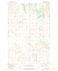
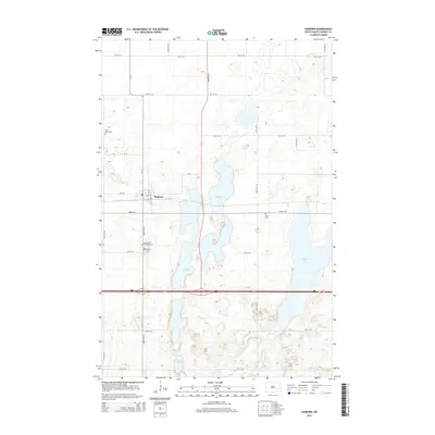
 1970 Sanborn1973 Print · USGSThe town of Sanborn and its surrounding prairie townships are captured here in the early 1970s, as agricultural patterns and conservation areas shaped the Barnes County landscape. Researchers can trace the Burlington Northern rail line and locate several local burial grounds including St Peter Cem and Nebo Cem.
 - 1970 Map of Eckelson SE, 1973 Print
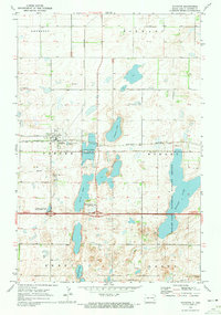
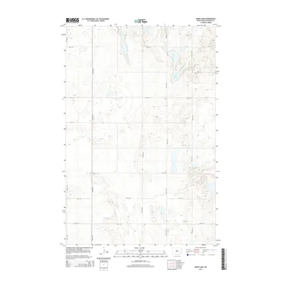
 1970 Eckelson SE1973 Print · USGSSoutheastern Barnes County in the early 1970s is a landscape of glacial potholes and prairie wetlands. Local historians can trace the community's heart through the sites of Elim Ch, St Thomas Ch, and the central Townhall near Meadow Lake.
 - 1986 Map of Jamestown
 1986 Jamestown1986 Print · USGSThe eastern North Dakota prairie comes into focus in the mid-eighties, centered on the rail and river hubs of Jamestown and Valley City. You can trace the Burlington Northern line through historic stops like Eckelson, Sanborn, and Spiritwood while exploring vast wildlife refuges and local landmarks.2 unique versions available
 - 2011 Map of Sanborn, 2011 Print
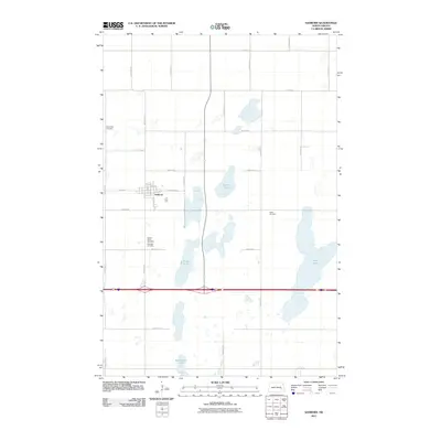 2011 Sanborn2011 Print · USGSCovers Hemen Township, including Sanborn, Anderson Township, and other nearby areas
 - 2011 Map of Moon Lake, 2011 Print
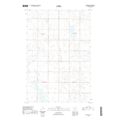
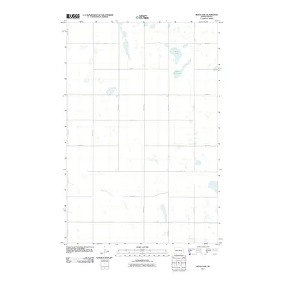 2011 Moon Lake2011 Print · USGSCovers Hemen Township, including Skandia Township, Svea Township, and other nearby areas
 - 2011 Map of Eckelson, 2011 Print
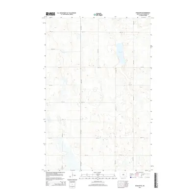
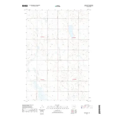
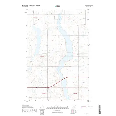
 2011 Eckelson2011 Print · USGSCovers Hemen Township, including Eckelson, Eckelson Township, and other nearby areas
 - 2011 Map of Eckelson SE, 2011 Print
 2011 Eckelson SE2011 Print · USGSCovers Hemen Township, including Meadow Lake Township, Svea Township, and other nearby areas
 - 2014 Map of Eckelson, 2014 Print
 2014 Eckelson2014 Print · USGSCovers Hemen Township, including Eckelson, Eckelson Township, and other nearby areas
 - 2014 Map of Sanborn, 2014 Print
 2014 Sanborn2014 Print · USGSCovers Hemen Township, including Sanborn, Anderson Township, and other nearby areas
 - 2014 Map of Moon Lake, 2014 Print
 2014 Moon Lake2014 Print · USGSCovers Hemen Township, including Skandia Township, Svea Township, and other nearby areas
 - 2014 Map of Eckelson SE, 2014 Print
 2014 Eckelson SE2014 Print · USGSCovers Hemen Township, including Meadow Lake Township, Svea Township, and other nearby areas
 - 2017 Map of Eckelson, 2017 Print
 2017 Eckelson2017 Print · USGSCovers Hemen Township, including Eckelson, Eckelson Township, and other nearby areas
 - 2017 Map of Eckelson SE, 2017 Print
 2017 Eckelson SE2017 Print · USGSCovers Hemen Township, including Meadow Lake Township, Svea Township, and other nearby areas
 - 2018 Map of Sanborn, 2018 Print
 2018 Sanborn2018 Print · USGSCovers Hemen Township, including Sanborn, Anderson Township, and other nearby areas
 - 2018 Map of Moon Lake, 2018 Print
 2018 Moon Lake2018 Print · USGSCovers Hemen Township, including Skandia Township, Svea Township, and other nearby areas
 - 2020 Map of Sanborn, 2020 Print
 2020 Sanborn2020 Print · USGSCovers Hemen Township, including Sanborn, Anderson Township, and other nearby areas
 - 2020 Map of Eckelson SE, 2020 Print
 2020 Eckelson SE2020 Print · USGSCovers Hemen Township, including Meadow Lake Township, Svea Township, and other nearby areas
 - 2020 Map of Eckelson, 2020 Print
 2020 Eckelson2020 Print · USGSCovers Hemen Township, including Eckelson, Eckelson Township, and other nearby areas
 - 2020 Map of Moon Lake, 2020 Print
 2020 Moon Lake2020 Print · USGSCovers Hemen Township, including Skandia Township, Svea Township, and other nearby areas
 - 2024 Map of Eckelson, 2024 Print
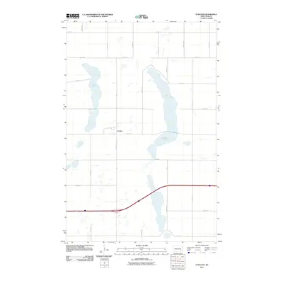
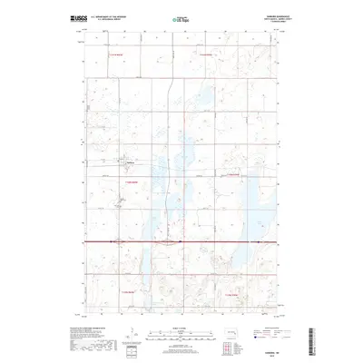
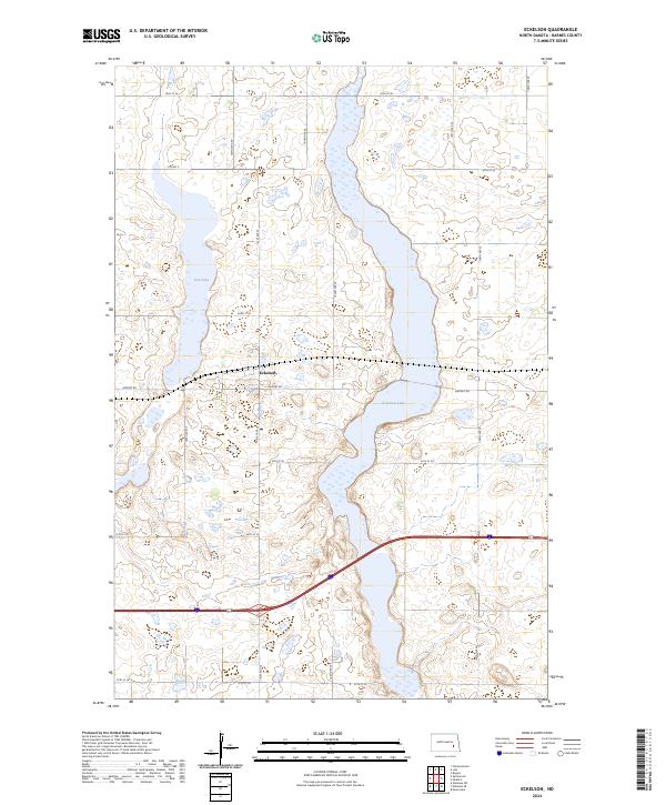 2024 Eckelson2024 Print · USGSThe rural landscape of Barnes County is captured here in the early 2020s, centered on the community of Eckelson. Researchers can trace the protected wetlands of the Barnes County Waterfowl Production Area and shoreline of Eckelson Lake.
Showing maps 1-25 of 28
Top cities near Hemen Township
- Valley City historical maps
- Sanborn historical maps
- Litchville historical maps
- Eckelson historical maps
- Rogers historical maps
Frequently asked questions
- What are the different types of historical maps available for Hemen Township?
- What is the oldest map of Hemen Township?
- Where can I purchase historical maps of Hemen Township for my home or office?
- Where can I download high-res historical maps of Hemen Township?
- Are there historical topographic maps available for Hemen Township?
- Is there historical aerial imagery available for Hemen Township?
- Where are historical maps of Hemen Township sourced from?