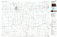
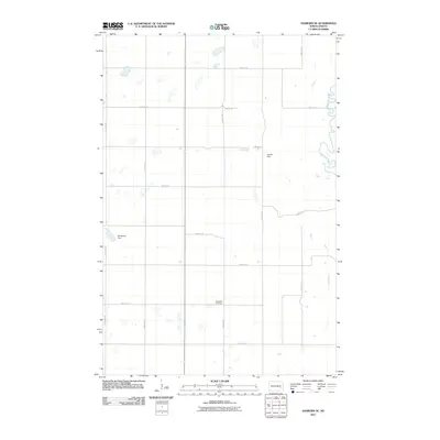
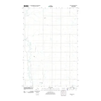
Old Maps of Marsh Township, North Dakota
Explore 33 old maps of Marsh Township, spanning from 1897 to today. These high-resolution historic maps reveal how streets, neighborhoods, landmarks, and natural features evolved over time — perfect for genealogy, metal detecting, research, and local history exploration.
What you can do with these maps:
- See how Marsh Township changed over time: Compare historical maps to modern-day views to trace roads, homesites, rail lines & more.
- View detailed metadata: Each map includes creators, publishers, year, scale, and archive source.
- Overlay maps with satellite & LiDAR: Visualize the past alongside modern tools to explore terrain & human change.
- Trusted historical sources: Maps sourced from the USGS, Library of Congress, and other archives.
- Access maps your way: View online, download high-res files, or order prints for personal or research use.
Start exploring old maps of Marsh Township to uncover forgotten places, hidden landmarks, and the deep history beneath your feet.
Marsh Township, ND maps
(33)- 1897 Map of Tower
 1897 Tower1897 Print · USGSIn the late nineteenth century, the expansion of the northern plains centered on the intersection of the Sheyenne River and the arriving railroads. Genealogists and historians can trace early township plats and rail-stop settlements like Valley City, Fingal, and Enderlin.3 unique versions available
 - 1897 Map of Eckelson
 1897 Eckelson1897 Print · USGSEastern North Dakota in the late nineteenth century was a land defined by the iron rail and a network of glacial lakes. Genealogists can trace early homesteads and rail stops near Valley City, Sanborn, and the isolated post office at Svea.3 unique versions available
 - 1953 Map of Jamestown
 1953 Jamestown1953 Print · USGSSoutheastern North Dakota was a thriving rail and agricultural corridor in the early fifties, anchored by the James River. Researchers can trace the footprints of institutional landmarks like the North Dakota State Hospital and historic sites such as Whitestone Hill Battlefield Park.3 unique versions available
 - 1953 Map of Fargo, 1965 Print
 1953 Fargo1965 Print · USGSThe Red River Valley in the mid-fifties was a bustling rail and agricultural corridor during a period of steady prairie growth. Genealogists and historians can trace the intricate rail networks of the Great Northern and Soo Line connecting local hubs like Casselton and Wahpeton.2 unique versions available
 - 1956 Map of Fargo
 1956 Fargo1956 Print · USGSThe Red River Valley's agricultural heartland is documented here in the mid-fifties as the rail-and-road network expanded across the plains. Genealogists can trace family roots through numerous small railroad towns and local landmarks like Casselton, Sheyenne Valley Church, and Sisseton Indian Res.
 - 1956 Map of Jamestown
 1956 Jamestown1956 Print · USGSThe James River valley and the vast alkali lake country of south-central North Dakota are captured here in the mid-fifties. Genealogists can trace family farms across several counties, locating small rail stops like Medberry and monuments like Whitestone Hill Battlefield Park.
 - 1961 Map of Valley City East, 1962 Print
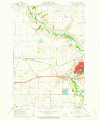
 1961 Valley City East1962 Print · USGSThe Sheyenne River valley and the expanding rail-and-highway corridor of Barnes County are captured here in the early sixties. Genealogists can locate several family resting places such as Hillside Cem and Memory Gardens Cem, or trace the tracks of the Soo Line.
 - 1961 Map of Valley City West, 1963 Print
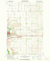
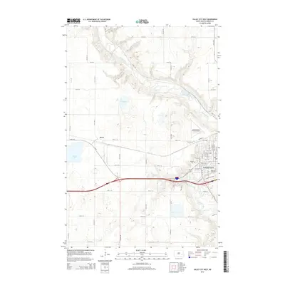
 1961 Valley City West1963 Print · USGSValley City and its surrounding townships are shown here during the early sixties as a bustling rail and educational center. Genealogists can locate family landmarks such as Heimes Sch, Woodbine Cem, and the campus of the State Teachers College.2 unique versions available
 - 1967 Map of Fingal SW, 1969 Print
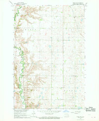 1967 Fingal SW1969 Print · USGSThe Sheyenne River valley and the surrounding high plains of Barnes County are captured here in the late sixties. Researchers can trace rural township centers like Townhall, family burial sites at the local Cem, and early industrial Gravel Pits scattered near the river.
 - 1970 Map of Sanborn SE, 1973 Print
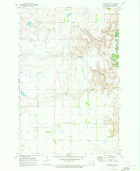 1970 Sanborn SE1973 Print · USGSThe Barnes County countryside of the early 1970s is captured here, showing the rural townships of Skandia and Nelson as they were before modern development. Genealogists and researchers can locate the Ringsaker Cem and trace the winding course of the Sheyenne River and the wetlands of Green Marsh.
 - 1986 Map of Casselton
 1986 Casselton1986 Print · USGSEastern North Dakota in the mid-1980s was a landscape defined by the intersection of the Sheyenne River and major rail lines. Researchers can trace the development of agricultural hubs like Enderlin and Casselton or locate the Griswold Mine and Memory Gardens Cem.2 unique versions available
 - 1986 Map of Jamestown
 1986 Jamestown1986 Print · USGSThe eastern North Dakota prairie comes into focus in the mid-eighties, centered on the rail and river hubs of Jamestown and Valley City. You can trace the Burlington Northern line through historic stops like Eckelson, Sanborn, and Spiritwood while exploring vast wildlife refuges and local landmarks.2 unique versions available
 - 1989 Map of Fargo, 1990 Print
 1989 Fargo1990 Print · USGSThe Red River Valley at the end of the eighties shows a landscape of flourishing university towns and vital rail corridors. Researchers can trace family roots through Riverside Cem, find early campus layouts for North Dakota State University, or follow the Soo Line Railroad through West Fargo.
 - 2011 Map of Valley City West, 2011 Print
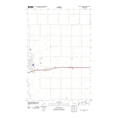
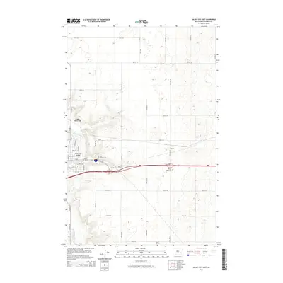
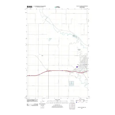 2011 Valley City West2011 Print · USGSCovers Marsh Township, including Valley City, Berea, and other nearby areas
 - 2011 Map of Sanborn SE, 2011 Print
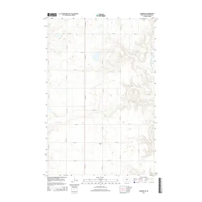
 2011 Sanborn SE2011 Print · USGSCovers Marsh Township, including Skandia Township, Nelson Township, and other nearby areas
 - 2011 Map of Fingal SW, 2011 Print
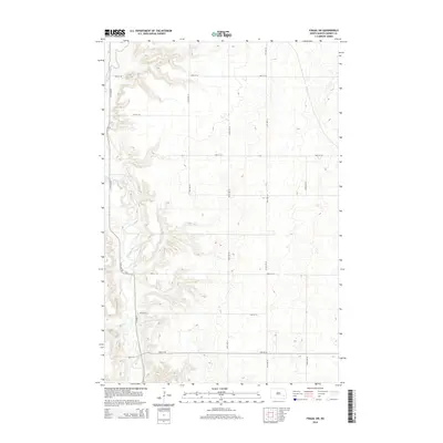
 2011 Fingal SW2011 Print · USGSCovers Marsh Township, including Cuba Township, Nelson Township, and other nearby areas
 - 2011 Map of Valley City East, 2011 Print
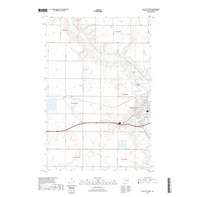
 2011 Valley City East2011 Print · USGSCovers Marsh Township, including Valley City, Noltimier Township, and other nearby areas
 - 2014 Map of Valley City West, 2014 Print
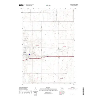
 2014 Valley City West2014 Print · USGSCovers Marsh Township, including Valley City, Berea, and other nearby areas
 - 2014 Map of Sanborn SE, 2014 Print
 2014 Sanborn SE2014 Print · USGSCovers Marsh Township, including Skandia Township, Nelson Township, and other nearby areas
 - 2014 Map of Fingal SW, 2014 Print
 2014 Fingal SW2014 Print · USGSCovers Marsh Township, including Cuba Township, Nelson Township, and other nearby areas
 - 2014 Map of Valley City East, 2014 Print
 2014 Valley City East2014 Print · USGSCovers Marsh Township, including Valley City, Noltimier Township, and other nearby areas
 - 2017 Map of Sanborn SE, 2017 Print
 2017 Sanborn SE2017 Print · USGSCovers Marsh Township, including Skandia Township, Nelson Township, and other nearby areas
 - 2017 Map of Valley City West, 2017 Print
 2017 Valley City West2017 Print · USGSCovers Marsh Township, including Valley City, Berea, and other nearby areas
 - 2017 Map of Valley City East, 2017 Print
 2017 Valley City East2017 Print · USGSCovers Marsh Township, including Valley City, Noltimier Township, and other nearby areas
 - 2018 Map of Fingal SW, 2018 Print
 2018 Fingal SW2018 Print · USGSCovers Marsh Township, including Cuba Township, Nelson Township, and other nearby areas
Showing maps 1-25 of 33
Top cities near Marsh Township
- Valley City historical maps
- Sanborn historical maps
- Litchville historical maps
- Fingal historical maps
- Oriska historical maps
- Cuba historical maps
See more
Frequently asked questions
- What are the different types of historical maps available for Marsh Township?
- What is the oldest map of Marsh Township?
- Where can I purchase historical maps of Marsh Township for my home or office?
- Where can I download high-res historical maps of Marsh Township?
- Are there historical topographic maps available for Marsh Township?
- Is there historical aerial imagery available for Marsh Township?
- Where are historical maps of Marsh Township sourced from?