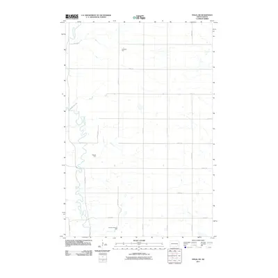
2011 Map of Fingal SW
USGS Topo · Published 2011About this map
The Sheyenne River meanders through this portion of Barnes County, creating a distinct riparian corridor against the surrounding agricultural grid. This 2011 survey highlights several small-scale water management points along the river and its local tributaries, including Anderson Dam, Stevens Dam, and the hyphenated Thoreson-Monson Dam. These features indicate the critical role of water control in the North Dakota plains, where seasonal flow and drainage shape the land's utility. The area is largely defined by a systematic road network, from established routes like County Rd-21 to local sections like 40th St SE and 120th Ave SE. A notable terrain feature, Sheyenne Valley Est, sits tucked into a bend of the river, suggesting a localized geographic or residential distinction within the broader prairie landscape.
Find a feature on this map
20 named features on this map. Tap any name to fly to it.
Don’t see what you’re looking for? This feature index may not catch every label — zoom into the map to look around manually.
Map Details
Editions of this 2011 Fingal SW Map
This is the sole edition of this map. No revisions or reprints were ever made.
Other maps of this area

1897 · Tower
USGS Topo · 1:125,000

1897 · Eckelson
USGS Topo · 1:125,000

1953 · Jamestown
USGS Topo · 1:250,000

1953 · Fargo
USGS Topo · 1:250,000

1956 · Fargo
USGS Topo · 1:250,000

1956 · Jamestown
USGS Topo · 1:250,000

1961 · Valley City East
USGS Topo · 1:24,000

1961 · Valley City West
USGS Topo · 1:24,000

1967 · Fingal
USGS Topo · 1:24,000

1967 · Fingal SW
USGS Topo · 1:24,000