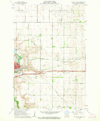
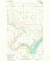
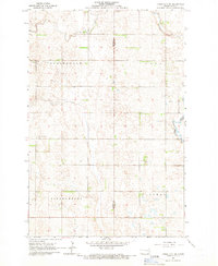
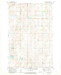
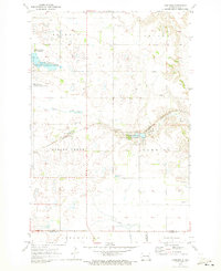
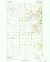
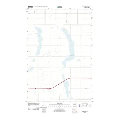
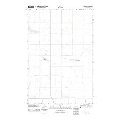
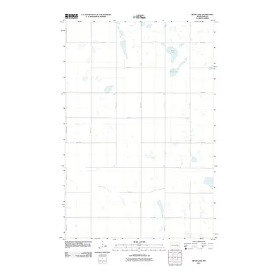
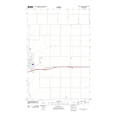
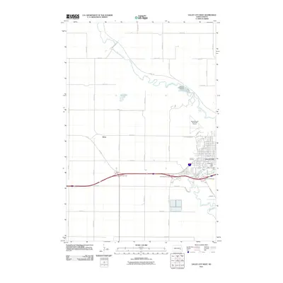
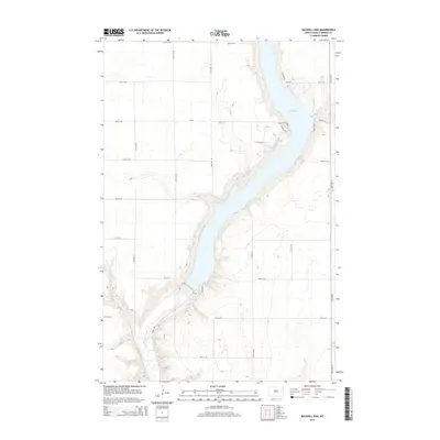
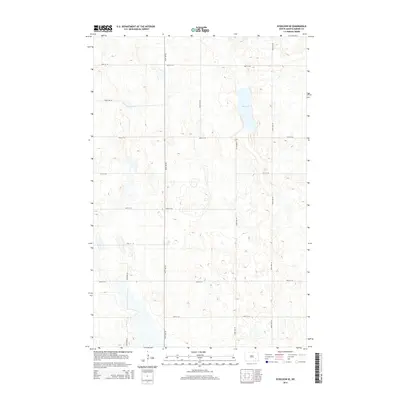
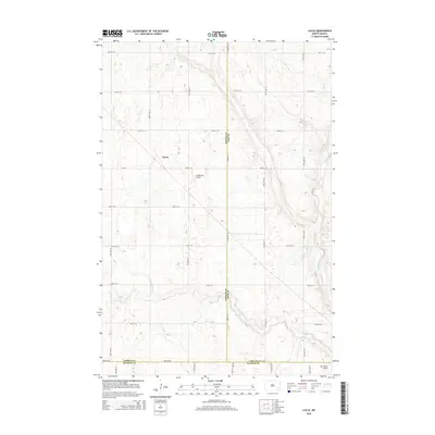
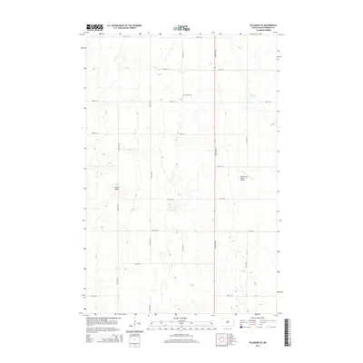
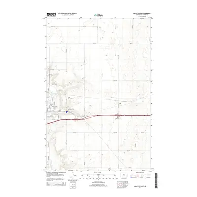
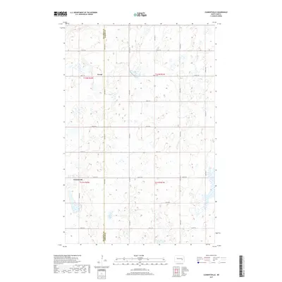
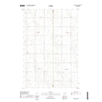
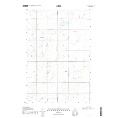
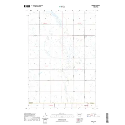
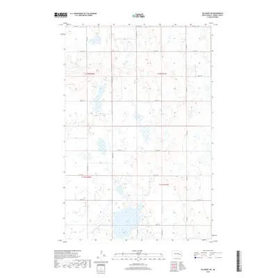
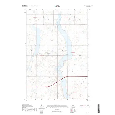
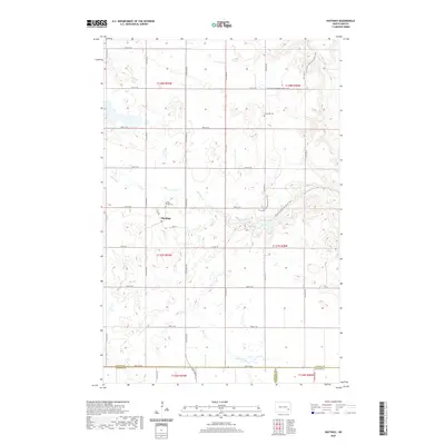
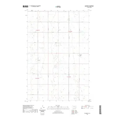
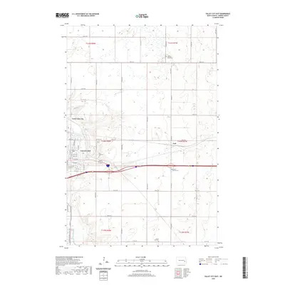
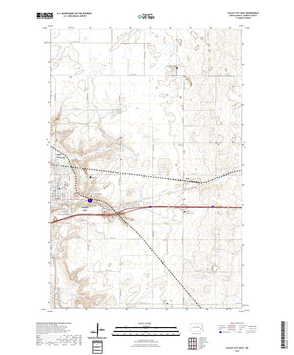
1961 Map of Valley City East
USGS Topo · Published 1962About this map
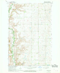
The Sheyenne River winds through the western edge of this landscape, defining the character of Valley City as it stood in the early 1960s. This survey records the intersection of heavy rail and emerging highway infrastructure, featuring the Northern Pacific and Soo Line railroads alongside the newly established East Valley City Interchange and Peak Interchange. The transition from the river valley to the surrounding uplands of Getchell and Noltimier is marked by numerous community landmarks.
Find a feature on this map
21 named features on this map. Tap any name to fly to it.
Don’t see what you’re looking for? This feature index may not catch every label — zoom into the map to look around manually.
Map Details
Editions of this 1961 Valley City East Map
This is the sole edition of this map. No revisions or reprints were ever made.
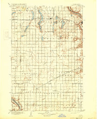
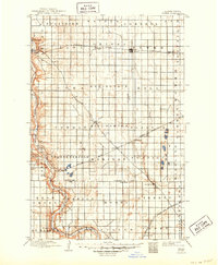
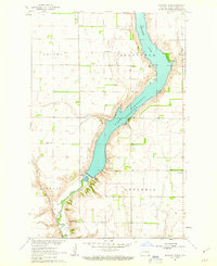
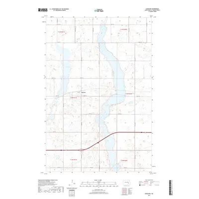
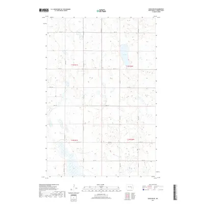
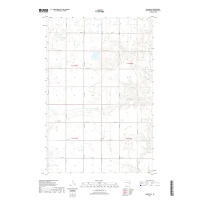
Historical Maps of Valley City Through Time
116 maps found
1897 Eckelson
Barnes County, ND
1897 Tower
Barnes County, ND
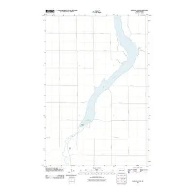
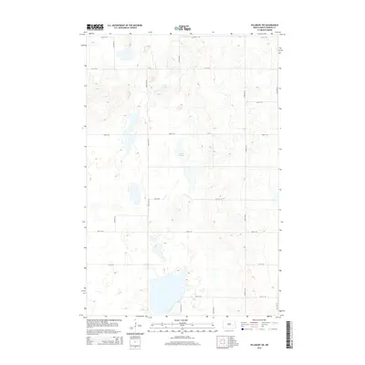
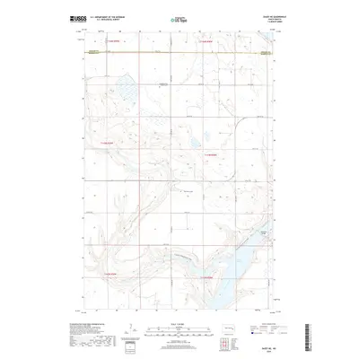
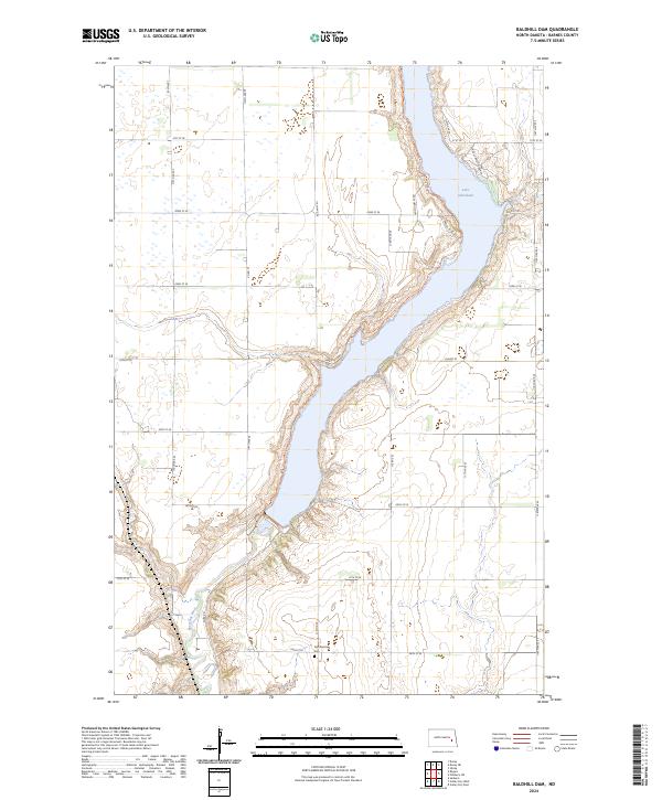
1961 Baldhill Dam
Barnes County, ND
1961 Dazey NE
Barnes County, ND
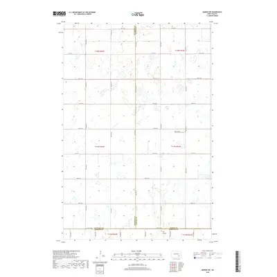
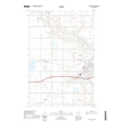
1961 Valley City East
Barnes County, ND
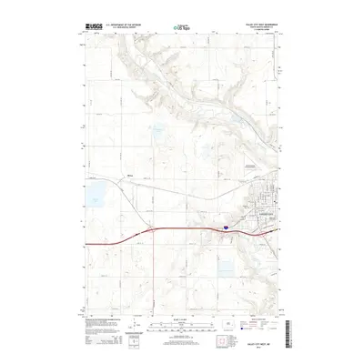
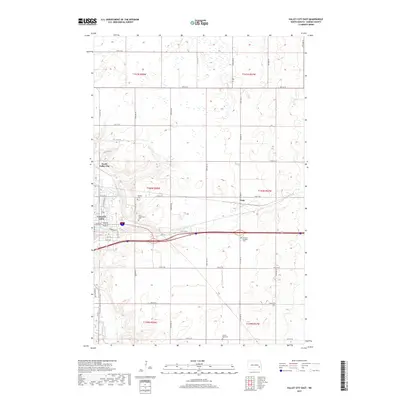
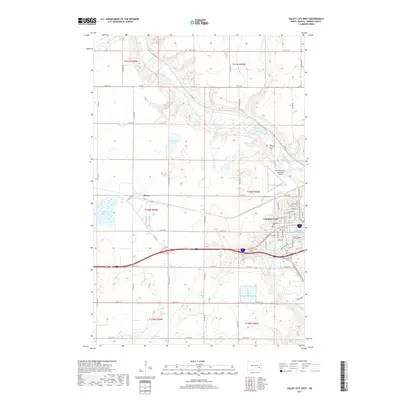
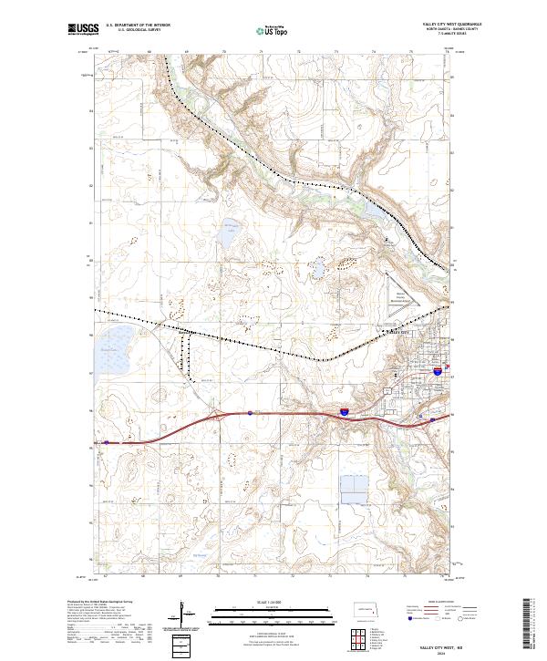
1961 Valley City West
Barnes County, ND
1961 Wimbledon NE
Barnes County, ND
1965 Lucca
Barnes County, ND
1965 Tower City SW
Barnes County, ND
1967 Fingal SW
Barnes County, ND
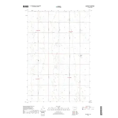
1967 Pillsbury SE
Barnes County, ND
1967 Pillsbury SW
Barnes County, ND
1970 Clementsville
Barnes County, ND
1970 Eckelson
Barnes County, ND
1970 Eckelson SE
Barnes County, ND
1970 Eckelson SW
Barnes County, ND
1970 Hastings
Barnes County, ND
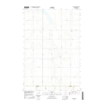
1970 Marion NE
Barnes County, ND
1970 Marion NW
Barnes County, ND
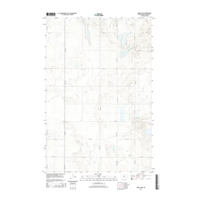
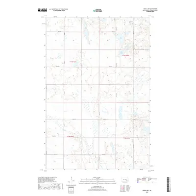
1970 Moon Lake
Barnes County, ND
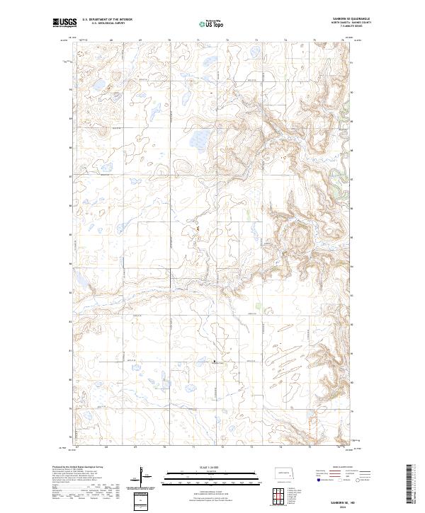
1970 Sanborn SE
Barnes County, ND
2011 Baldhill Dam
Barnes County, ND
2011 Clementsville
Barnes County, ND
2011 Dazey NE
Barnes County, ND
2011 Eckelson
Barnes County, ND
2011 Eckelson SE
Barnes County, ND
2011 Eckelson SW
Barnes County, ND
2011 Fingal SW
Barnes County, ND
2011 Hastings
Barnes County, ND
2011 Lucca
Barnes County, ND
2011 Marion NE
Barnes County, ND
2011 Marion NW
Barnes County, ND
2011 Moon Lake
Barnes County, ND
2011 Pillsbury SE
Barnes County, ND
2011 Pillsbury SW
Barnes County, ND
2011 Sanborn SE
Barnes County, ND
2011 Tower City SW
Barnes County, ND
2011 Valley City East
Barnes County, ND
2011 Valley City West
Barnes County, ND
2011 Wimbledon NE
Barnes County, ND
2014 Baldhill Dam
Barnes County, ND
2014 Clementsville
Barnes County, ND
2014 Dazey NE
Barnes County, ND
2014 Eckelson
Barnes County, ND
2014 Eckelson SE
Barnes County, ND
2014 Eckelson SW
Barnes County, ND
2014 Fingal SW
Barnes County, ND
2014 Hastings
Barnes County, ND
2014 Lucca
Barnes County, ND
2014 Marion NE
Barnes County, ND
2014 Marion NW
Barnes County, ND
2014 Moon Lake
Barnes County, ND
2014 Pillsbury SE
Barnes County, ND
2014 Pillsbury SW
Barnes County, ND
2014 Sanborn SE
Barnes County, ND
2014 Tower City SW
Barnes County, ND
2014 Valley City East
Barnes County, ND
2014 Valley City West
Barnes County, ND
2014 Wimbledon NE
Barnes County, ND
2017 Baldhill Dam
Barnes County, ND
2017 Clementsville
Barnes County, ND
2017 Eckelson
Barnes County, ND
2017 Eckelson SE
Barnes County, ND
2017 Sanborn SE
Barnes County, ND
2017 Tower City SW
Barnes County, ND
2017 Valley City East
Barnes County, ND
2017 Valley City West
Barnes County, ND
2018 Dazey NE
Barnes County, ND
2018 Eckelson SW
Barnes County, ND
2018 Fingal SW
Barnes County, ND
2018 Hastings
Barnes County, ND
2018 Lucca
Barnes County, ND
2018 Marion NE
Barnes County, ND
2018 Marion NW
Barnes County, ND
2018 Moon Lake
Barnes County, ND
2018 Pillsbury SE
Barnes County, ND
2018 Pillsbury SW
Barnes County, ND
2018 Wimbledon NE
Barnes County, ND

2020 Baldhill Dam
Barnes County, ND
2020 Clementsville
Barnes County, ND
2020 Dazey NE
Barnes County, ND
2020 Eckelson
Barnes County, ND
2020 Eckelson SE
Barnes County, ND
2020 Eckelson SW
Barnes County, ND
2020 Fingal SW
Barnes County, ND
2020 Hastings
Barnes County, ND

2020 Lucca
Barnes County, ND
2020 Marion NE
Barnes County, ND
2020 Marion NW
Barnes County, ND
2020 Moon Lake
Barnes County, ND
2020 Pillsbury SE
Barnes County, ND
2020 Pillsbury SW
Barnes County, ND
2020 Sanborn SE
Barnes County, ND
2020 Tower City SW
Barnes County, ND
2020 Valley City East
Barnes County, ND
2020 Valley City West
Barnes County, ND
2020 Wimbledon NE
Barnes County, ND
2024 Baldhill Dam
Barnes County, ND
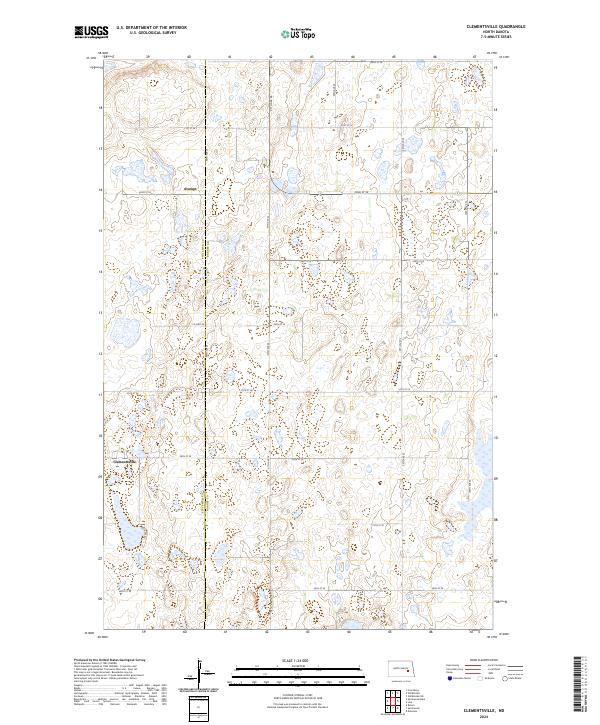
2024 Clementsville
Barnes County, ND
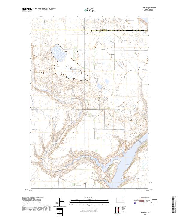
2024 Dazey NE
Barnes County, ND
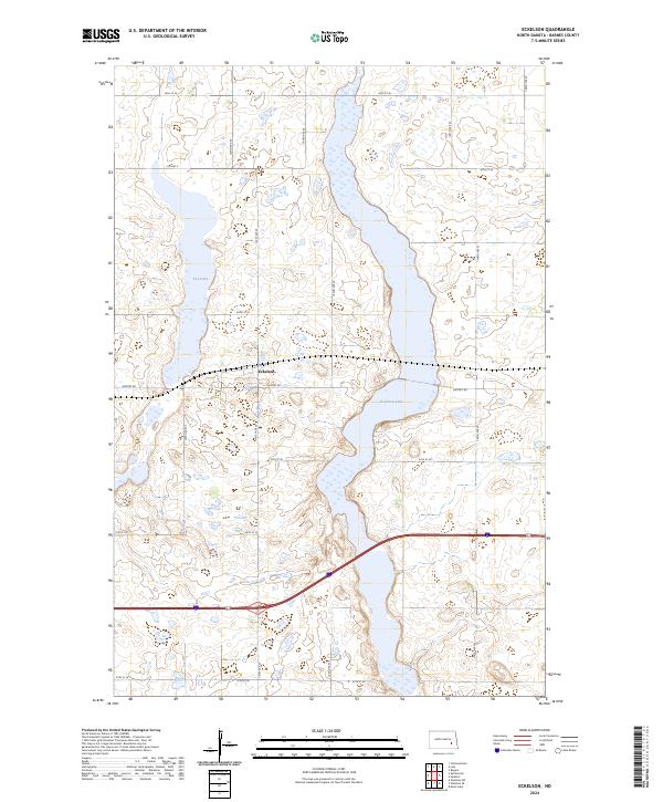
2024 Eckelson
Barnes County, ND
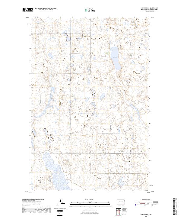
2024 Eckelson SE
Barnes County, ND
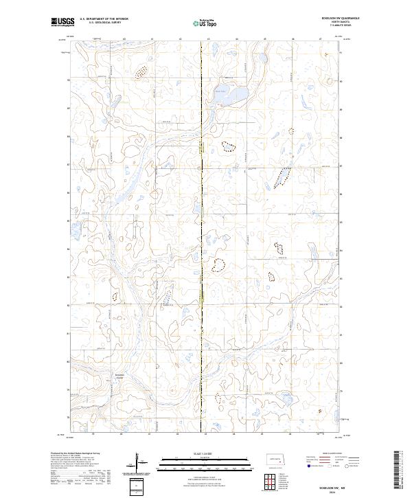
2024 Eckelson SW
Barnes County, ND

2024 Fingal SW
Barnes County, ND
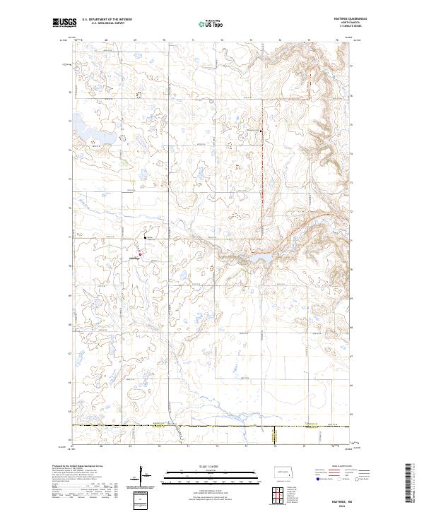
2024 Hastings
Barnes County, ND
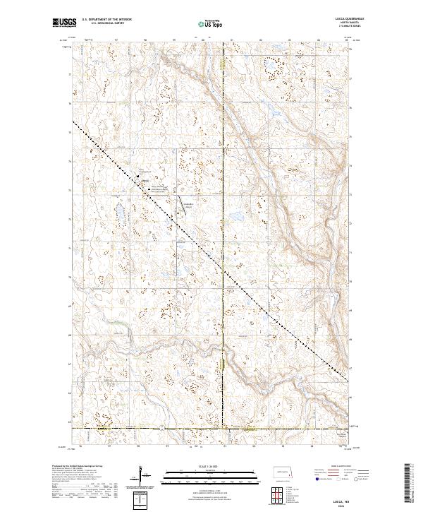
2024 Lucca
Barnes County, ND
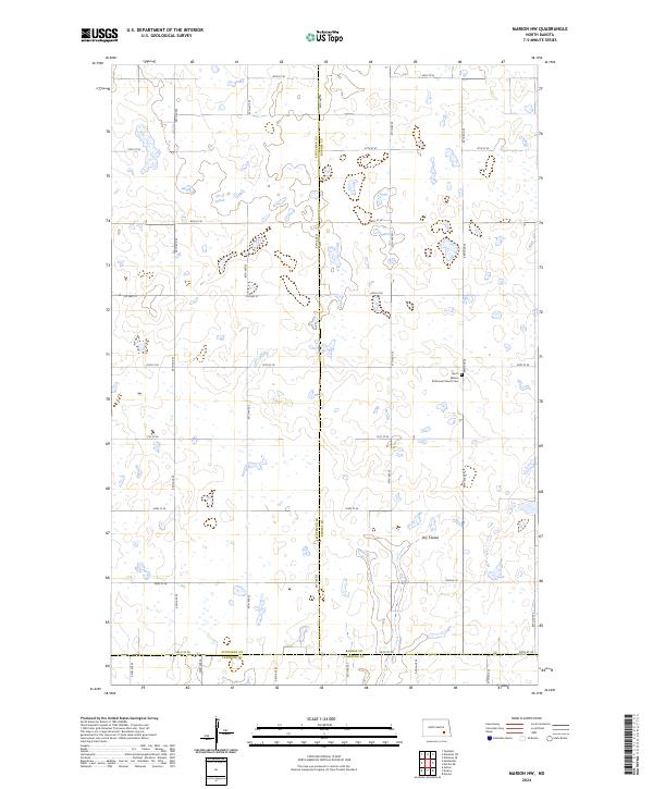
2024 Marion NE
Barnes County, ND
2024 Marion NW
Barnes County, ND
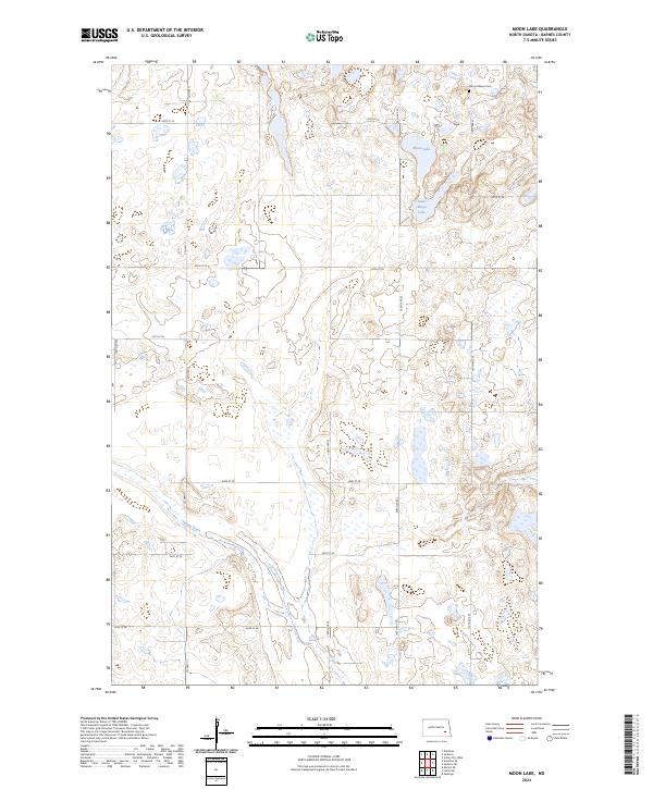
2024 Moon Lake
Barnes County, ND
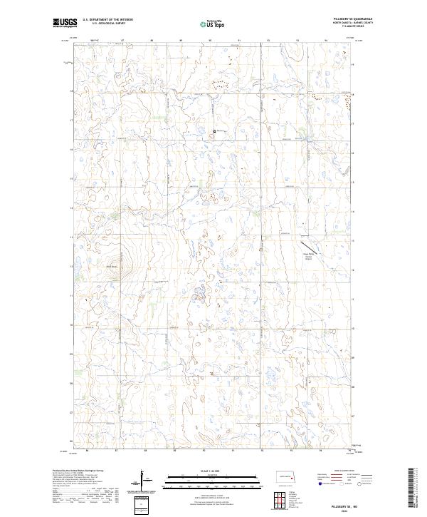
2024 Pillsbury SE
Barnes County, ND
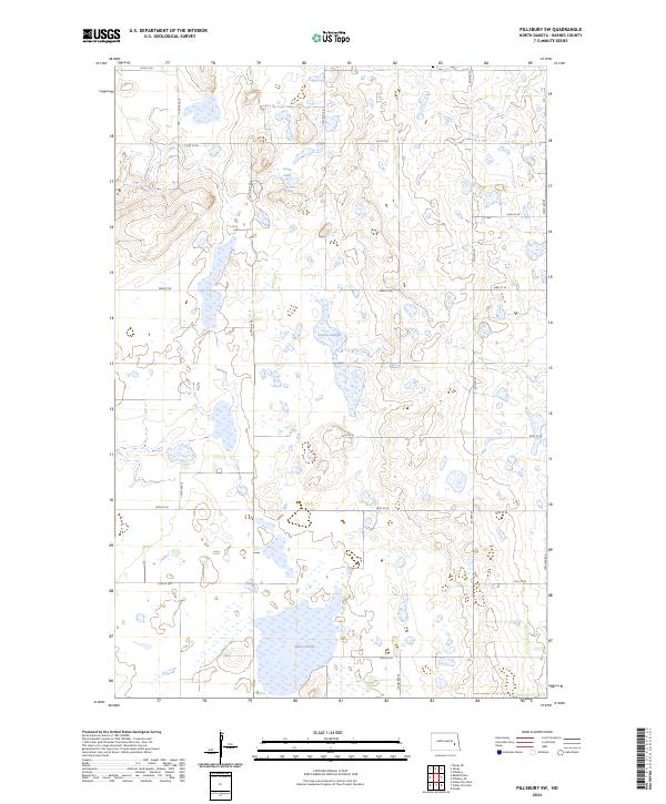
2024 Pillsbury SW
Barnes County, ND
2024 Sanborn SE
Barnes County, ND
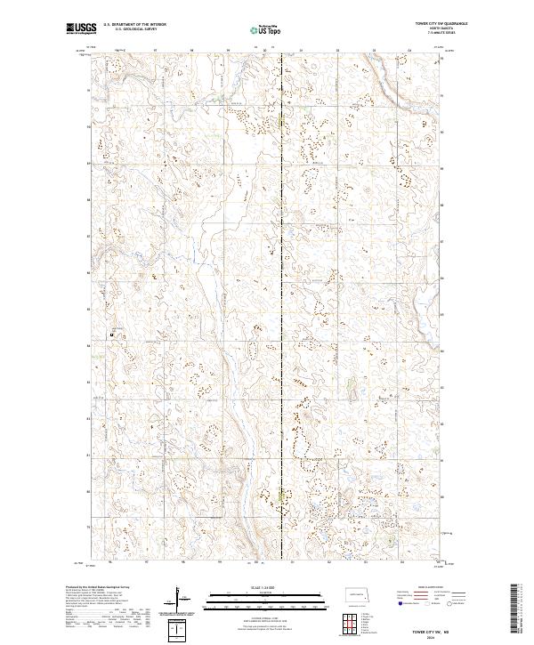
2024 Tower City SW
Barnes County, ND
2024 Valley City East
Barnes County, ND
2024 Valley City West
Barnes County, ND
2024 Wimbledon NE
Barnes County, ND