
1952 Map of Grand Forks
USGS Topo · Published 1967About this map
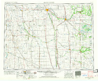
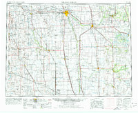
The Red River of the North serves as the central artery for this mid-century landscape, defining the border between North Dakota and Minnesota. The twin cities of Grand Forks and East Grand Forks anchor a vast agricultural expanse, supported by a dense network of the Great Northern Railway and Northern Pacific Railway. This 1952 survey shows the region as it transitioned into the Cold War era, marked by the prominent presence of the Grand Forks Air Force Base west of the city. Beyond the urban centers, the map reveals a meticulously surveyed grid of township roads and small agricultural settlements like Hillsboro, Mayville, and Crookston. Conservation efforts are evident in the Kellys Slough National Wildlife Refuge and the Little Goose National Wildlife Refuge, while the eastern portion of the sheet reaches into the White Earth Indian Reservation.
Find a feature on this map
169 named features on this map. Tap any name to fly to it.
Don’t see what you’re looking for? This feature index may not catch every label — zoom into the map to look around manually.
Map Details
Editions of this 1952 Grand Forks Map
3 editions found
Other maps of this area

1895 · Fargo
USGS Topo · 1:125,000

1895 · Casselton
USGS Topo · 1:125,000

1897 · Fargo
USGS Topo · 1:125,000

1897 · Tower
USGS Topo · 1:125,000

1897 · Eckelson
USGS Topo · 1:125,000

1897 · Casselton
USGS Topo · 1:125,000

1918 · Kelso
USGS Topo · 1:62,500

1918 · Angus
USGS Topo · 1:62,500

1918 · Hendrum
USGS Topo · 1:62,500

1918 · Twin Valley
USGS Topo · 1:62,500