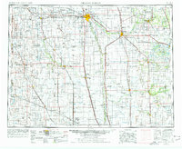
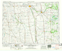
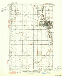
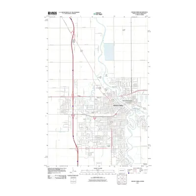
1952 Map of Grand Forks
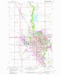
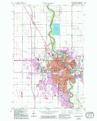
USGS Topo · Published 1976About this map
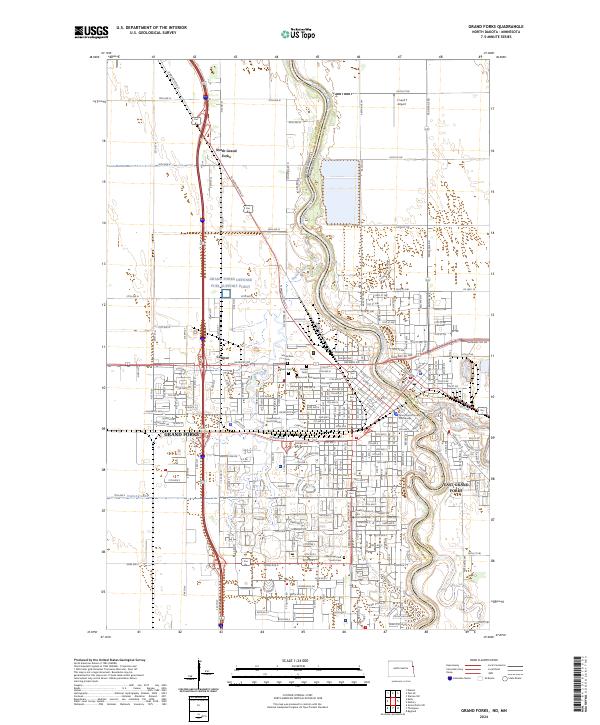
Grand Forks and East Grand Forks anchor this mid-century survey of the Red River Valley, a landscape defined by its vital watercourses and extensive rail network. The Red River of the North serves as the central artery, joined by tributaries like the Red Lake River and Goose River which wind through the flat agricultural heartland. This period marks a significant military presence in the region, with the expansive Grand Forks AFB and the Finley Air Force Station established on the North Dakota side.
Find a feature on this map
186 named features on this map. Tap any name to fly to it.
Don’t see what you’re looking for? This feature index may not catch every label — zoom into the map to look around manually.
Map Details
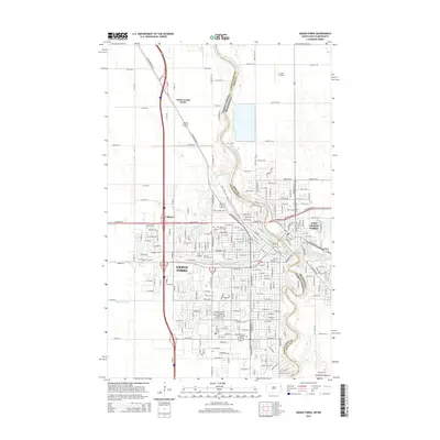
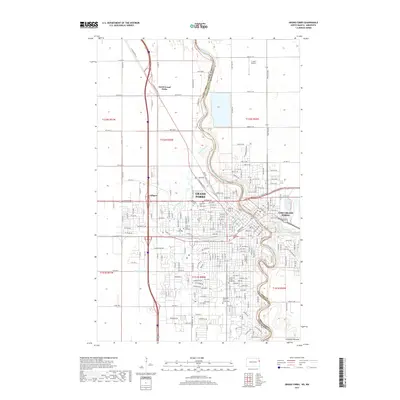
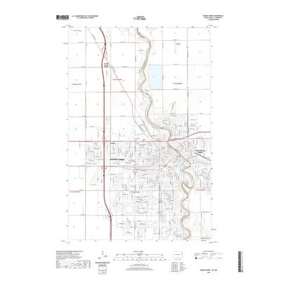
Editions of this 1952 Grand Forks Map
3 editions found

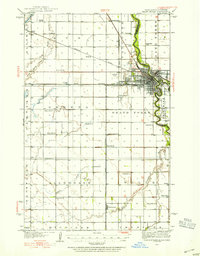
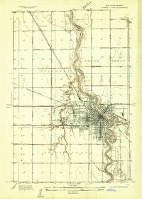
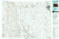
Historical Maps of Grand Forks Through Time
14 maps found
1934 Grand Forks
Grand Forks County, ND
1934 Grand Forks
Grand Forks County, ND
1938 Grand Forks
Grand Forks County, ND
1952 Grand Forks
Grand Forks County, ND

1956 Grand Forks
Grand Forks County, ND
1963 Grand Forks
Grand Forks County, ND

1966 Grand Forks
Grand Forks County, ND
1985 Grand Forks
Grand Forks County, ND
1994 Grand Forks
Grand Forks County, ND
2011 Grand Forks
Grand Forks County, ND
2014 Grand Forks
Grand Forks County, ND
2017 Grand Forks
Grand Forks County, ND
2020 Grand Forks
Grand Forks County, ND
2024 Grand Forks
Grand Forks County, ND