
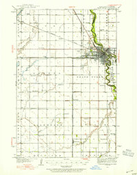
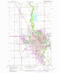
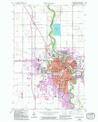
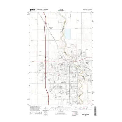
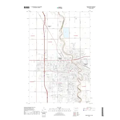
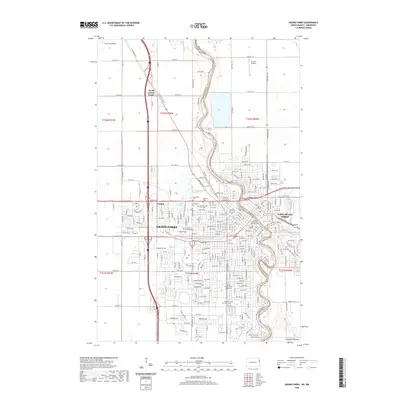
1956 Map of Grand Forks
USGS Topo · Published 1956About this map
The Red River of the North defines the interstate boundary between North Dakota and Minnesota, anchoring a vast agricultural landscape at the height of the post-war era. This mid-century survey documents the urban centers of Grand Forks and East Grand Forks during a period of steady regional growth. The map reveals an intricate network of drainage and transport, where the Red Lake River and Goose River feed into the main valley, and railroads like the Great Northern and Soo Line connect small elevators and grain-handling settlements.
Find a feature on this map
189 named features on this map. Tap any name to fly to it.
Don’t see what you’re looking for? This feature index may not catch every label — zoom into the map to look around manually.
Map Details
Editions of this 1956 Grand Forks Map
This is the sole edition of this map. No revisions or reprints were ever made.
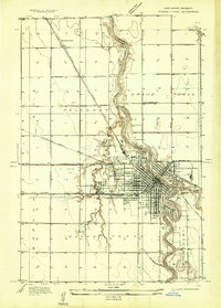
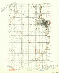
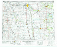
Historical Maps of Grand Forks Through Time
14 maps found
1934 Grand Forks
Grand Forks County, ND
1934 Grand Forks
Grand Forks County, ND
1938 Grand Forks
Grand Forks County, ND
1952 Grand Forks
Grand Forks County, ND
1956 Grand Forks
Grand Forks County, ND
1963 Grand Forks
Grand Forks County, ND

1966 Grand Forks
Grand Forks County, ND
1985 Grand Forks
Grand Forks County, ND
1994 Grand Forks
Grand Forks County, ND
2011 Grand Forks
Grand Forks County, ND
2014 Grand Forks
Grand Forks County, ND
2017 Grand Forks
Grand Forks County, ND
2020 Grand Forks
Grand Forks County, ND
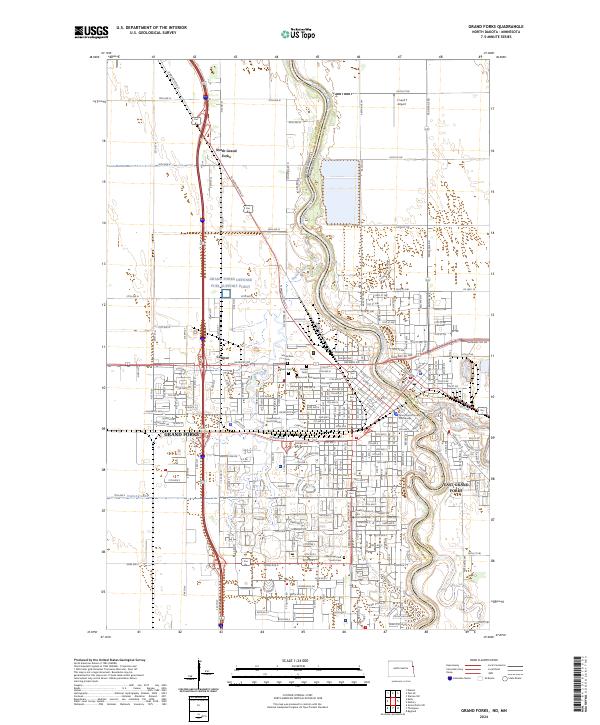
2024 Grand Forks
Grand Forks County, ND