Old Maps of Driscoll, North Dakota
Explore 10 old maps of Driscoll, spanning from 1951 to today. These high-resolution historic maps reveal how streets, neighborhoods, landmarks, and natural features evolved over time — perfect for genealogy, metal detecting, research, and local history exploration.
What you can do with these maps:
- See how Driscoll changed over time: Compare historical maps to modern-day views to trace roads, homesites, rail lines & more.
- View detailed metadata: Each map includes creators, publishers, year, scale, and archive source.
- Overlay maps with satellite & LiDAR: Visualize the past alongside modern tools to explore terrain & human change.
- Trusted historical sources: Maps sourced from the USGS, Library of Congress, and other archives.
- Access maps your way: View online, download high-res files, or order prints for personal or research use.
Start exploring old maps of Driscoll to uncover forgotten places, hidden landmarks, and the deep history beneath your feet.
Driscoll, ND maps
(10)- 1951 Map of Driscoll, 1953 Print
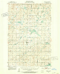 1951 Driscoll1953 Print · USGSThe Burleigh County prairie comes alive in the early fifties, centered on the railroad town of Driscoll. Genealogists and local historians can trace the locations of Zion Ch, the Chaska Historic Site, and numerous rural schools like School No 4.
 - 1954 Map of Bismarck, 1967 Print
 1954 Bismarck1967 Print · USGSBismarck and the Missouri River basin are shown in the mid-1960s as the Oahe Reservoir reshaped the valley. Genealogists can trace family-named landmarks like Dog Tooth Buttes and small prairie settlements such as Fort Yates, Selfridge, and Brisbane.2 unique versions available
 - 1958 Map of Bismarck
 1958 Bismarck1958 Print · USGSCentral North Dakota in the late fifties is defined by the Missouri River and the sprawling Standing Rock Indian Reservation. Genealogists and historians can trace rail-line outposts like Sedalia Siding or explore local landmarks like Saint Anthony and Fort Lincoln State Park/Museum.
 - 1975 Map of Driscoll, 1977 Print
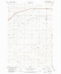 1975 Driscoll1977 Print · USGSThis mid-1970s survey of the North Dakota prairie captures Driscoll at a time of steady rail and utility development. Researchers can trace family roots at the Driscoll Cem and explore the natural hydrology of Cottonwood Lake and Random Slough.2 unique versions available
 - 1979 Map of Bismarck, 1980 Print
 1979 Bismarck1980 Print · USGSBismarck and Mandan sit at the heart of this late-century North Dakota survey, where the Missouri River flows past historic frontier outposts. Trace the old Soo Line rail corridors or locate family landmarks near St Anthony, Fort Rice, and Custer Flats.
 - 2011 Map of Driscoll, 2011 Print
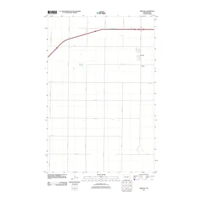 2011 Driscoll2011 Print · USGSCovers Driscoll, including Burleigh County, United States, and other nearby areas
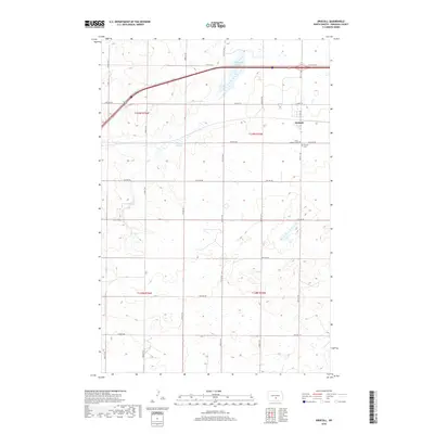
 - 2014 Map of Driscoll, 2014 Print
 2014 Driscoll2014 Print · USGSCovers Driscoll, including Burleigh County, United States, and other nearby areas
 - 2018 Map of Driscoll, 2018 Print
 2018 Driscoll2018 Print · USGSCovers Driscoll, including Burleigh County, United States, and other nearby areas
 - 2020 Map of Driscoll, 2020 Print
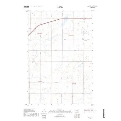 2020 Driscoll2020 Print · USGSCovers Driscoll, including Burleigh County, United States, and other nearby areas
 - 2024 Map of Driscoll, 2024 Print
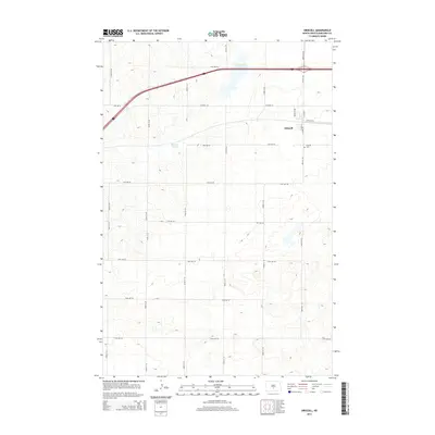
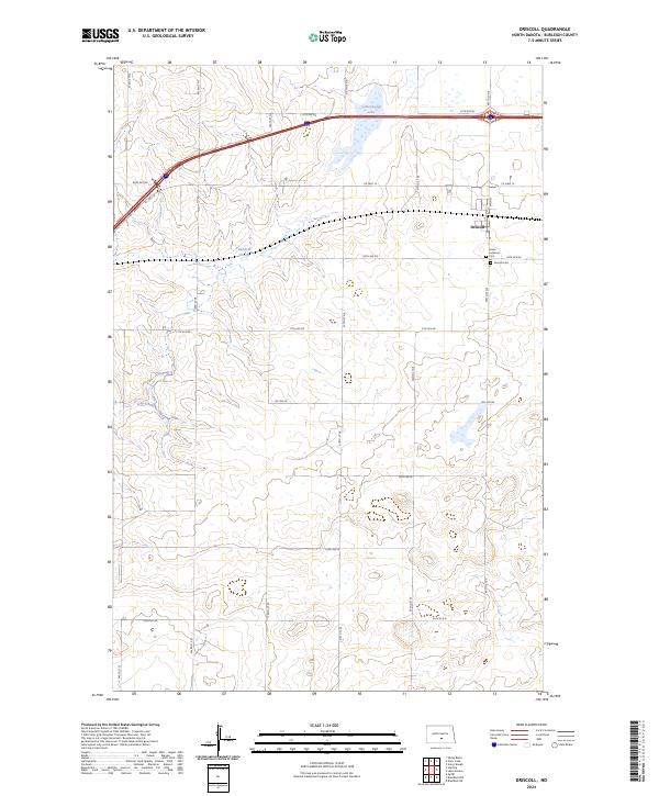 2024 Driscoll2024 Print · USGSDriscoll and the surrounding Burleigh County prairie are captured here in a contemporary portrait of this long-settled rural landscape. Genealogists and local historians can locate burial sites at Grace Lutheran Cem or trace the water levels of Cottonwood Lake and Random Slough.
End of results
Showing maps 1-10 of 10
Top cities near Driscoll
Frequently asked questions
- What are the different types of historical maps available for Driscoll?
- What is the oldest map of Driscoll?
- Where can I purchase historical maps of Driscoll for my home or office?
- Where can I download high-res historical maps of Driscoll?
- Are there historical topographic maps available for Driscoll?
- Is there historical aerial imagery available for Driscoll?
- Where are historical maps of Driscoll sourced from?