Old Maps of Berlin Township, North Dakota for Genealogy
Trace your family roots with 22 historic maps of Berlin Township. These high-res maps reveal old neighborhoods, homesites, landmarks, and streets — helping you uncover where your ancestors lived and how the area evolved over time.
- Explore historic neighborhoods: Identify where your relatives may have lived in the 1800s or 1900s.
- Compare maps over time: Trace the changes in streets, buildings, and landmarks for multi-generational research.
- Perfect for genealogy & ancestry research: Used by family historians and researchers to map out lineage and migration.
These maps are an incredible resource for exploring your personal connection to Berlin Township's past.
Berlin Township, ND maps
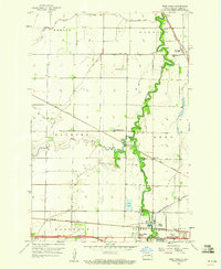
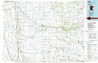
(22)- 1895 Map of Fargo, 1954 Print
 1895 Fargo1954 Print · USGSCovers Berlin Township, including Fargo, West Fargo, and other nearby areas3 unique versions available
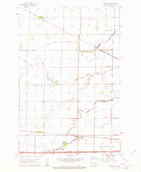
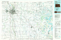
 - 1895 Map of Casselton, 1961 Print
 1895 Casselton1961 Print · USGSCovers Berlin Township, including Casselton, Mapleton, and other nearby areas
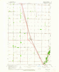
 - 1897 Map of Fargo
 1897 Fargo1897 Print · USGSCovers Berlin Township, including Fargo, West Fargo, and other nearby areas12 unique versions available
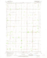
 - 1897 Map of Casselton
 1897 Casselton1897 Print · USGSCovers Berlin Township, including Casselton, Mapleton, and other nearby areas3 unique versions available
 - 1952 Map of Grand Forks, 1967 Print
 1952 Grand Forks1967 Print · USGSCovers Berlin Township, including Grand Forks, East Grand Forks, and other nearby areas3 unique versions available
 - 1953 Map of Fargo, 1965 Print
 1953 Fargo1965 Print · USGSCovers Berlin Township, including Fargo, West Fargo, and other nearby areas2 unique versions available
 - 1956 Map of Fargo
 1956 Fargo1956 Print · USGSCovers Berlin Township, including Fargo, West Fargo, and other nearby areas
 - 1956 Map of Grand Forks
 1956 Grand Forks1956 Print · USGSCovers Berlin Township, including Grand Forks, East Grand Forks, and other nearby areas
 - 1959 Map of West Fargo, 1960 Print
 1959 West Fargo1960 Print · USGSCovers Berlin Township, including Fargo, West Fargo, and other nearby areas3 unique versions available
 - 1961 Map of Mapleton, 1963 Print
 1961 Mapleton1963 Print · USGSCovers Berlin Township, including Mapleton, Durbin Township, and other nearby areas3 unique versions available
 - 1963 Map of Argusville, 1964 Print
 1963 Argusville1964 Print · USGSCovers Berlin Township, including Argusville, Harwood Township, and other nearby areas2 unique versions available
 - 1966 Map of Grand Forks
 1966 Grand Forks1966 Print · USGSCovers Berlin Township, including Grand Forks, East Grand Forks, and other nearby areas
 - 1966 Map of Arthur SE, 1968 Print
 1966 Arthur SE1968 Print · USGSCovers Berlin Township, including Gunkel Township, Gardner Township, and other nearby areas
 - 1984 Map of Ada, 1985 Print
 1984 Ada1985 Print · USGSCovers Berlin Township, including Ada, Twin Valley, and other nearby areas2 unique versions available
 - 1985 Map of Fargo
 1985 Fargo1985 Print · USGSCovers Berlin Township, including Fargo, West Fargo, and other nearby areas2 unique versions available
 - 1985 Map of Hillsboro
 1985 Hillsboro1985 Print · USGSCovers Berlin Township, including Mayville, Hillsboro, and other nearby areas2 unique versions available
 - 1986 Map of Casselton
 1986 Casselton1986 Print · USGSCovers Berlin Township, including Valley City, Casselton, and other nearby areas2 unique versions available
 - 1989 Map of Fargo, 1990 Print
 1989 Fargo1990 Print · USGSCovers Berlin Township, including Fargo, West Fargo, and other nearby areas
 - 2024 Map of Mapleton, 2024 Print
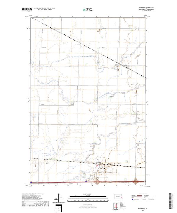 2024 Mapleton2024 Print · USGSCovers Berlin Township, including Mapleton, Durbin Township, and other nearby areas
 - 2024 Map of Arthur SE, 2024 Print
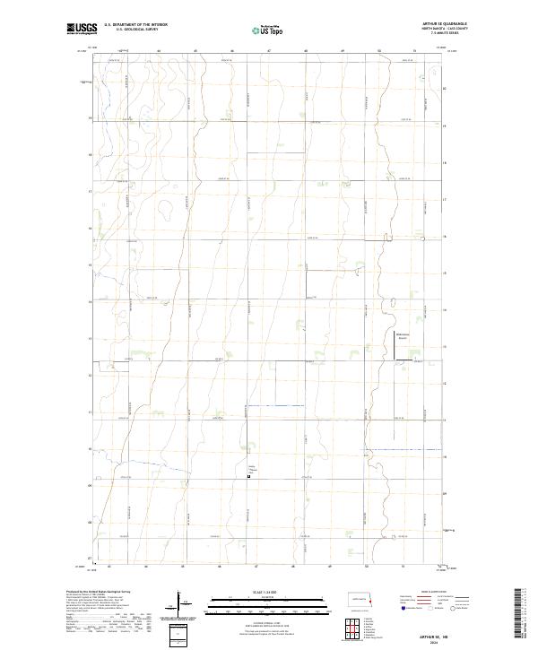 2024 Arthur SE2024 Print · USGSCovers Berlin Township, including Gardner Township, Gunkel Township, and other nearby areas
 - 2024 Map of West Fargo North, 2024 Print
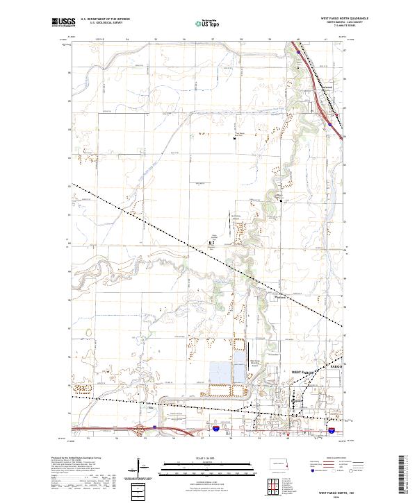 2024 West Fargo North2024 Print · USGSCovers Berlin Township, including Fargo, West Fargo, and other nearby areas
 - 2024 Map of Argusville, 2024 Print
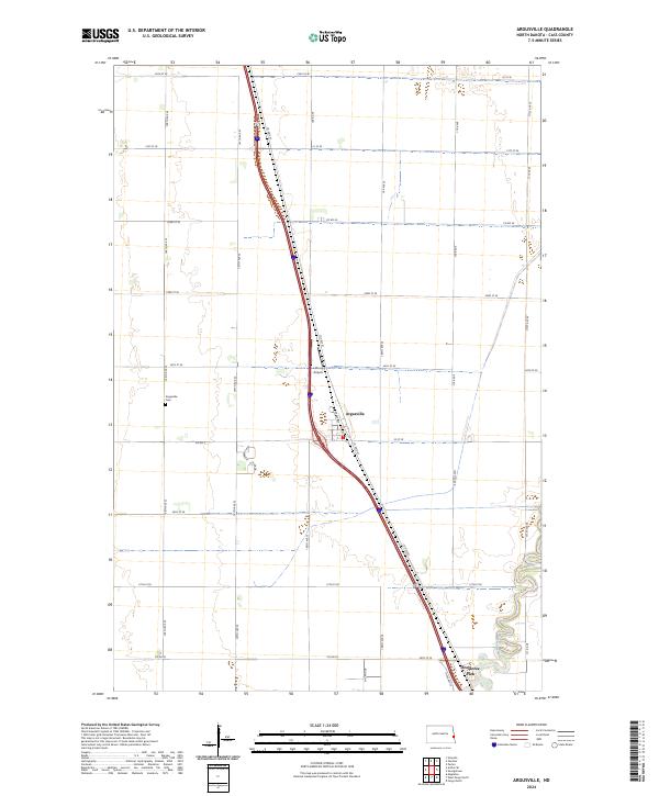 2024 Argusville2024 Print · USGSCovers Berlin Township, including Argusville, Gardner Township, and other nearby areas
End of results
Showing maps 1-22 of 22
Top cities near Berlin Township
- Fargo historical maps
- West Fargo historical maps
- Moorhead historical maps
- Casselton historical maps
- Horace historical maps
- Harwood historical maps
See more
Frequently asked questions
- What are the different types of historical maps available for Berlin Township?
- What is the oldest map of Berlin Township?
- Where can I purchase historical maps of Berlin Township for my home or office?
- Where can I download high-res historical maps of Berlin Township?
- Are there historical topographic maps available for Berlin Township?
- Is there historical aerial imagery available for Berlin Township?
- Where are historical maps of Berlin Township sourced from?