Old Maps of Cornell Township, North Dakota
Explore 33 old maps of Cornell Township, spanning from 1897 to today. These high-resolution historic maps reveal how streets, neighborhoods, landmarks, and natural features evolved over time — perfect for genealogy, metal detecting, research, and local history exploration.
What you can do with these maps:
- See how Cornell Township changed over time: Compare historical maps to modern-day views to trace roads, homesites, rail lines & more.
- View detailed metadata: Each map includes creators, publishers, year, scale, and archive source.
- Overlay maps with satellite & LiDAR: Visualize the past alongside modern tools to explore terrain & human change.
- Trusted historical sources: Maps sourced from the USGS, Library of Congress, and other archives.
- Access maps your way: View online, download high-res files, or order prints for personal or research use.
Start exploring old maps of Cornell Township to uncover forgotten places, hidden landmarks, and the deep history beneath your feet.
Cornell Township, ND maps
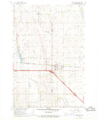
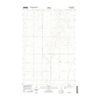
(33)- 1897 Map of Tower
 1897 Tower1897 Print · USGSIn the late nineteenth century, the expansion of the northern plains centered on the intersection of the Sheyenne River and the arriving railroads. Genealogists and historians can trace early township plats and rail-stop settlements like Valley City, Fingal, and Enderlin.3 unique versions available
 - 1952 Map of Grand Forks, 1967 Print
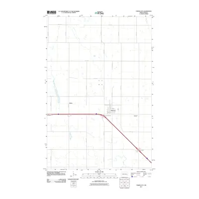
 1952 Grand Forks1967 Print · USGSThe Red River Valley in the early fifties is shown here at the height of its rail-and-river agricultural economy. Researchers can locate small-town landmarks like the Pleasant View School, the Immanuel Lutheran Church, and trace the path of the Soo Line Railroad.3 unique versions available
 - 1953 Map of Fargo, 1965 Print
 1953 Fargo1965 Print · USGSThe Red River Valley in the mid-fifties was a bustling rail and agricultural corridor during a period of steady prairie growth. Genealogists and historians can trace the intricate rail networks of the Great Northern and Soo Line connecting local hubs like Casselton and Wahpeton.2 unique versions available
 - 1956 Map of Fargo
 1956 Fargo1956 Print · USGSThe Red River Valley's agricultural heartland is documented here in the mid-fifties as the rail-and-road network expanded across the plains. Genealogists can trace family roots through numerous small railroad towns and local landmarks like Casselton, Sheyenne Valley Church, and Sisseton Indian Res.
 - 1956 Map of Grand Forks
 1956 Grand Forks1956 Print · USGSThe Red River Valley in the mid-fifties is captured here as a thriving corridor of grain elevators and rail-linked towns along the North Dakota and Minnesota border. Researchers can trace historic church sites like Immanuel Lutheran Church, vanished rail stops at Tilde Junction, and the boundaries of the White Earth Indian Reservation.
 - 1966 Map of Grand Forks
 1966 Grand Forks1966 Print · USGSThe Red River Valley in the mid-sixties shows a landscape shaped by rail-line commerce and complex water management. Genealogists and historians can trace rail-side towns like Emerado and Hunter or locate rural landmarks like the Pleasant View Church.
 - 1967 Map of Tower City, 1969 Print
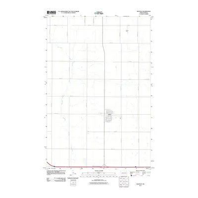
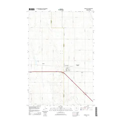
 1967 Tower City1969 Print · USGSThe intersection of the Northern Pacific railroad and the modern interstate era defines this late-1960s North Dakota landscape. Researchers can trace the layout of Tower City and Koldok, or locate family sites near Greenwood Cem and several local Sandpit operations.
 - 1967 Map of Page SE, 1969 Print
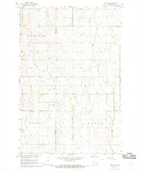
 1967 Page SE1969 Print · USGSCass County agriculture and infrastructure are captured here in the late sixties as the Missouri River Basin program progressed. Researchers can trace the Great Northern rail corridor and locate early industrial sites like the local Sandpit across the townships of Cornell and Rich.
 - 1967 Map of Buffalo, 1969 Print
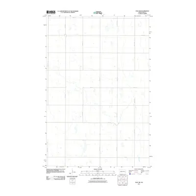
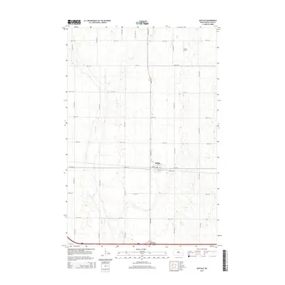
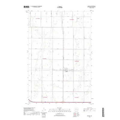
 1967 Buffalo1969 Print · USGSThe prairie landscape of western Cass County is centered on the railroad town of Buffalo during the late sixties. Genealogists and historians can trace the Northern Pacific rail line, the meanders of the Maple River, and local landmarks like the Grieve Landing Strip.
 - 1967 Map of Page SW, 1969 Print
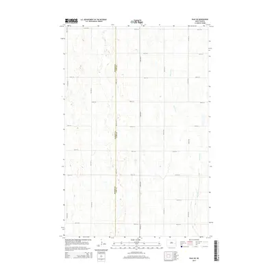
 1967 Page SW1969 Print · USGSThe rural border of Barnes and Cass Counties comes alive in the late sixties as the winding Maple River flows through a landscape of prairie potholes. Genealogists and local historians can locate the community Townhall and trace the original bounds of Minnie Lake and Weimer.
 - 1985 Map of Hillsboro
 1985 Hillsboro1985 Print · USGSEastern North Dakota’s expansive farming country is mapped here in the mid-1980s, showing the vital link between rail lines and prairie towns. Genealogists and historians can trace family locations near Mayville, Sherbrooke, and the Mayville Cem.2 unique versions available
 - 1986 Map of Casselton
 1986 Casselton1986 Print · USGSEastern North Dakota in the mid-1980s was a landscape defined by the intersection of the Sheyenne River and major rail lines. Researchers can trace the development of agricultural hubs like Enderlin and Casselton or locate the Griswold Mine and Memory Gardens Cem.2 unique versions available
 - 1989 Map of Fargo, 1990 Print
 1989 Fargo1990 Print · USGSThe Red River Valley at the end of the eighties shows a landscape of flourishing university towns and vital rail corridors. Researchers can trace family roots through Riverside Cem, find early campus layouts for North Dakota State University, or follow the Soo Line Railroad through West Fargo.
 - 2011 Map of Page SE, 2011 Print
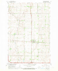
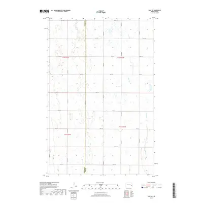
 2011 Page SE2011 Print · USGSCovers Cornell Township, including Ayr Township, Rich Township, and other nearby areas
 - 2011 Map of Buffalo, 2011 Print
 2011 Buffalo2011 Print · USGSCovers Cornell Township, including Buffalo, Buffalo Township, and other nearby areas
 - 2011 Map of Tower City, 2011 Print
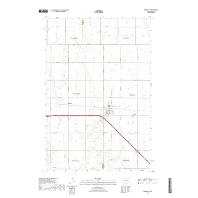
 2011 Tower City2011 Print · USGSCovers Cornell Township, including Tower City, Tower Township, and other nearby areas
 - 2011 Map of Page SW, 2011 Print
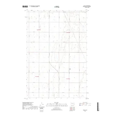
 2011 Page SW2011 Print · USGSCovers Cornell Township, including Minnie Lake Township, Weimer Township, and other nearby areas
 - 2014 Map of Page SW, 2014 Print
 2014 Page SW2014 Print · USGSCovers Cornell Township, including Minnie Lake Township, Weimer Township, and other nearby areas
 - 2014 Map of Page SE, 2014 Print
 2014 Page SE2014 Print · USGSCovers Cornell Township, including Ayr Township, Rich Township, and other nearby areas
 - 2014 Map of Tower City, 2014 Print
 2014 Tower City2014 Print · USGSCovers Cornell Township, including Tower City, Tower Township, and other nearby areas
 - 2014 Map of Buffalo, 2014 Print
 2014 Buffalo2014 Print · USGSCovers Cornell Township, including Buffalo, Buffalo Township, and other nearby areas
 - 2017 Map of Tower City, 2017 Print
 2017 Tower City2017 Print · USGSCovers Cornell Township, including Tower City, Tower Township, and other nearby areas
 - 2018 Map of Buffalo, 2018 Print
 2018 Buffalo2018 Print · USGSCovers Cornell Township, including Buffalo, Buffalo Township, and other nearby areas
 - 2018 Map of Page SW, 2018 Print
 2018 Page SW2018 Print · USGSCovers Cornell Township, including Minnie Lake Township, Weimer Township, and other nearby areas
 - 2018 Map of Page SE, 2018 Print
 2018 Page SE2018 Print · USGSCovers Cornell Township, including Ayr Township, Rich Township, and other nearby areas
Showing maps 1-25 of 33
Top cities near Cornell Township
- Tower City historical maps
- Page historical maps
- Buffalo historical maps
- Oriska historical maps
- Cuba historical maps
- Colgate Township historical maps
See more
Frequently asked questions
- What are the different types of historical maps available for Cornell Township?
- What is the oldest map of Cornell Township?
- Where can I purchase historical maps of Cornell Township for my home or office?
- Where can I download high-res historical maps of Cornell Township?
- Are there historical topographic maps available for Cornell Township?
- Is there historical aerial imagery available for Cornell Township?
- Where are historical maps of Cornell Township sourced from?