2000s (21st Century) Maps of Cornell Township, North Dakota
Explore 20 historic maps of Cornell Township from the 2000s (21st Century). These maps offer a rare glimpse into what life looked like during the 2000s — showing old roads, neighborhoods, homes, and landmarks that have changed or disappeared over time.
Whether you're researching your family's past, planning a metal detecting trip, or studying how Cornell Township's landscape evolved across the 2000s, these high-resolution maps are a powerful tool for exploring the history of this region.
- Focus on a specific era: All maps on this page are from the 2000s, giving you a focused view of this time period.
- See what’s changed: Compare century-old streets, trails, and buildings to today's modern landscape using overlays and satellite layers.
- Research with precision: Use these maps for genealogy, historical research, land use analysis, or educational projects.
- View, download, or print: Maps are fully viewable online in high resolution, and can be downloaded or printed for your own records.
Start exploring Cornell Township's history through authentic maps from the 2000s. This is your window into the past.
Cornell Township, ND maps
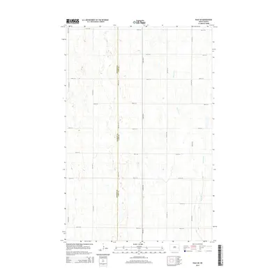
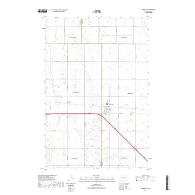
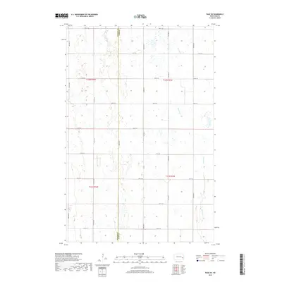
(20)- 2011 Map of Page SE, 2011 Print
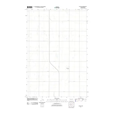 2011 Page SE2011 Print · USGSCovers Cornell Township, including Ayr Township, Rich Township, and other nearby areas
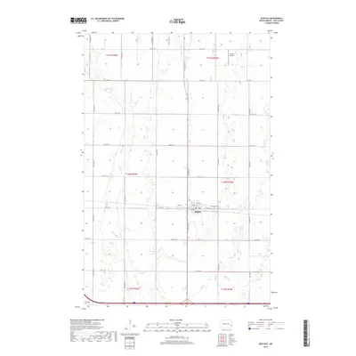
 - 2011 Map of Buffalo, 2011 Print
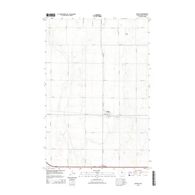
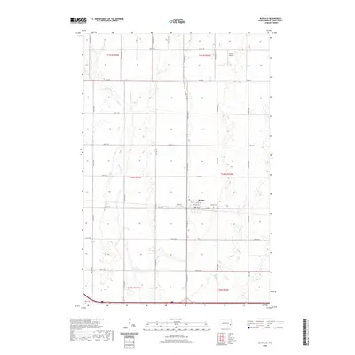
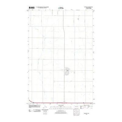 2011 Buffalo2011 Print · USGSCovers Cornell Township, including Buffalo, Buffalo Township, and other nearby areas
 - 2011 Map of Tower City, 2011 Print
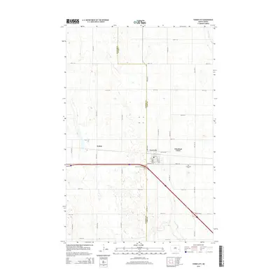
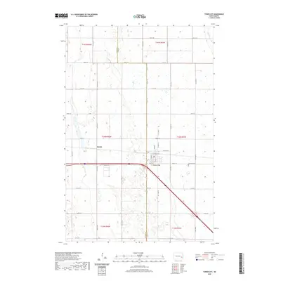
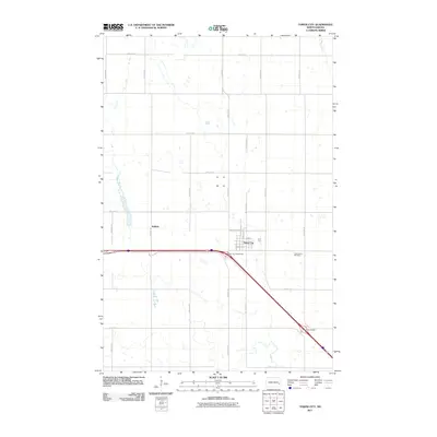 2011 Tower City2011 Print · USGSCovers Cornell Township, including Tower City, Tower Township, and other nearby areas
 - 2011 Map of Page SW, 2011 Print
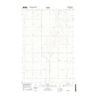
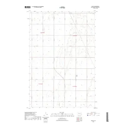
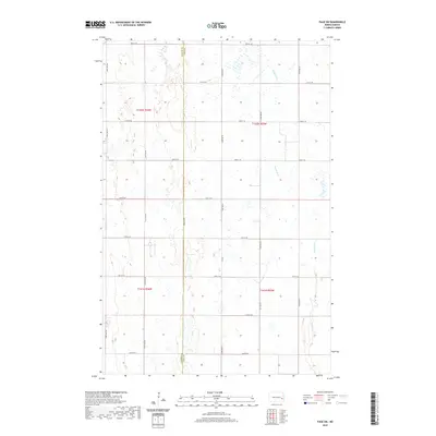
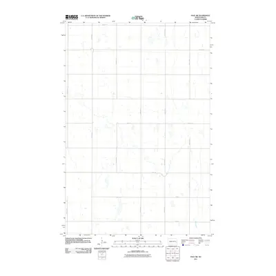 2011 Page SW2011 Print · USGSCovers Cornell Township, including Minnie Lake Township, Weimer Township, and other nearby areas
 - 2014 Map of Page SW, 2014 Print
 2014 Page SW2014 Print · USGSCovers Cornell Township, including Minnie Lake Township, Weimer Township, and other nearby areas
 - 2014 Map of Page SE, 2014 Print
 2014 Page SE2014 Print · USGSCovers Cornell Township, including Ayr Township, Rich Township, and other nearby areas
 - 2014 Map of Tower City, 2014 Print
 2014 Tower City2014 Print · USGSCovers Cornell Township, including Tower City, Tower Township, and other nearby areas
 - 2014 Map of Buffalo, 2014 Print
 2014 Buffalo2014 Print · USGSCovers Cornell Township, including Buffalo, Buffalo Township, and other nearby areas
 - 2017 Map of Tower City, 2017 Print
 2017 Tower City2017 Print · USGSCovers Cornell Township, including Tower City, Tower Township, and other nearby areas
 - 2018 Map of Buffalo, 2018 Print
 2018 Buffalo2018 Print · USGSCovers Cornell Township, including Buffalo, Buffalo Township, and other nearby areas
 - 2018 Map of Page SW, 2018 Print
 2018 Page SW2018 Print · USGSCovers Cornell Township, including Minnie Lake Township, Weimer Township, and other nearby areas
 - 2018 Map of Page SE, 2018 Print
 2018 Page SE2018 Print · USGSCovers Cornell Township, including Ayr Township, Rich Township, and other nearby areas
 - 2020 Map of Tower City, 2020 Print
 2020 Tower City2020 Print · USGSCovers Cornell Township, including Tower City, Tower Township, and other nearby areas
 - 2020 Map of Buffalo, 2020 Print
 2020 Buffalo2020 Print · USGSCovers Cornell Township, including Buffalo, Buffalo Township, and other nearby areas
 - 2020 Map of Page SW, 2020 Print
 2020 Page SW2020 Print · USGSCovers Cornell Township, including Minnie Lake Township, Weimer Township, and other nearby areas
 - 2020 Map of Page SE, 2020 Print
 2020 Page SE2020 Print · USGSCovers Cornell Township, including Ayr Township, Rich Township, and other nearby areas
 - 2024 Map of Buffalo, 2024 Print
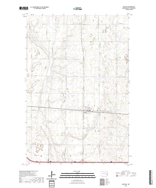 2024 Buffalo2024 Print · USGSBuffalo and the surrounding Cass County prairie are captured in this recent survey, showcasing the enduring grid of the Red River Valley. Local researchers can trace family landmarks and rural infrastructure from the Buffalo Cem to the winding banks of the Maple River.
 - 2024 Map of Page SE, 2024 Print
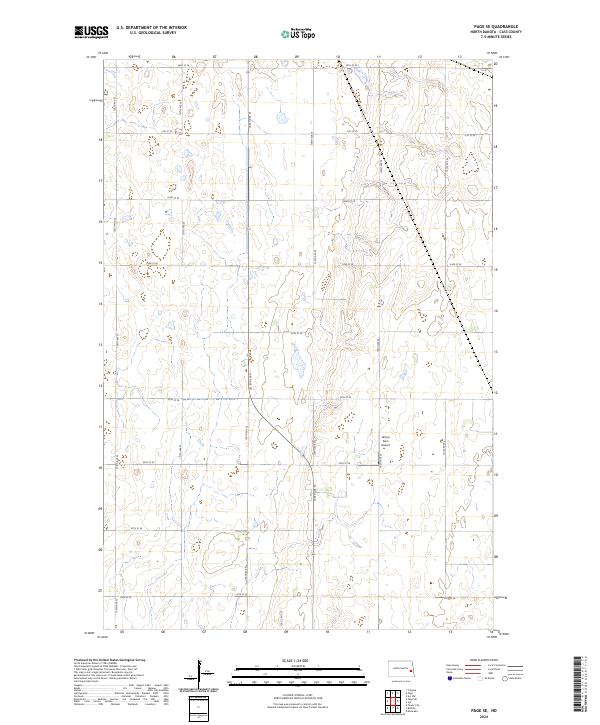 2024 Page SE2024 Print · USGSCass County agriculture and prairie wetlands are showcased in this modern survey of the North Dakota plains. Map collectors and researchers can trace the intersection of four townships and locate the private Wilcox Farm Airport amidst a grid of rural routes like 138 1/2 Ave SE.
 - 2024 Map of Page SW, 2024 Print
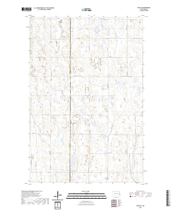 2024 Page SW2024 Print · USGSThe rural border of Barnes Co and Cass Co is captured here in the early twenty-first century, defined by vast agricultural tracts. Local researchers can trace the winding path of the Maple River as it cuts across section lines and follows the gridded network of Co Rd 1 and 130th Ave SE.
 - 2024 Map of Tower City, 2024 Print
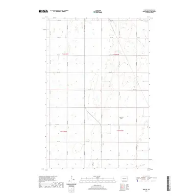
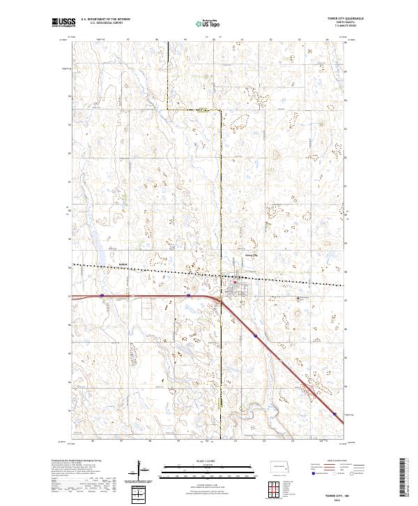 2024 Tower City2024 Print · USGSTower City sits at the Cass and Barnes County line in the 2020s, anchoring a landscape defined by its grid of prairie section roads. Researchers can trace the town’s layout through Church St and Maine St or locate the nearby Greenwood Cemetery.
End of results
Showing maps 1-20 of 20
Top cities near Cornell Township
- Tower City historical maps
- Page historical maps
- Buffalo historical maps
- Oriska historical maps
- Cuba historical maps
- Colgate Township historical maps
See more
Frequently asked questions
- What are the different types of historical maps available for Cornell Township?
- What is the oldest map of Cornell Township?
- Where can I purchase historical maps of Cornell Township for my home or office?
- Where can I download high-res historical maps of Cornell Township?
- Are there historical topographic maps available for Cornell Township?
- Is there historical aerial imagery available for Cornell Township?
- Where are historical maps of Cornell Township sourced from?