2020s Maps of Walburg Township, North Dakota
Explore 8 historic maps of Walburg Township from the 2020s. These maps offer a rare glimpse into what life looked like during the 2020s — showing old roads, neighborhoods, homes, and landmarks that have changed or disappeared over time.
Whether you're researching your family's past, planning a metal detecting trip, or studying how Walburg Township's landscape evolved across the 2020s, these high-resolution maps are a powerful tool for exploring the history of this region.
- Focus on a specific era: All maps on this page are from the 2020s, giving you a focused view of this time period.
- See what’s changed: Compare century-old streets, trails, and buildings to today's modern landscape using overlays and satellite layers.
- Research with precision: Use these maps for genealogy, historical research, land use analysis, or educational projects.
- View, download, or print: Maps are fully viewable online in high resolution, and can be downloaded or printed for your own records.
Start exploring Walburg Township's history through authentic maps from the 2020s. This is your window into the past.
Walburg Township, ND maps
(8)- 2020 Map of Embden, 2020 Print
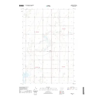 2020 Embden2020 Print · USGSCovers Walburg Township, including Eldred Township, Howes Township, and other nearby areas
 - 2020 Map of Chaffee, 2020 Print
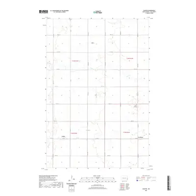 2020 Chaffee2020 Print · USGSCovers Walburg Township, including Everest Township, Maple River Township, and other nearby areas
 - 2020 Map of Sheldon NW, 2020 Print
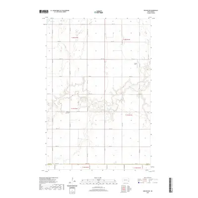 2020 Sheldon NW2020 Print · USGSCovers Walburg Township, including Coburn Township, Eldred Township, and other nearby areas
 - 2020 Map of Sheldon NE, 2020 Print
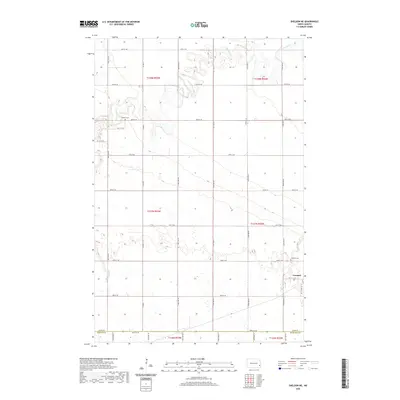 2020 Sheldon NE2020 Print · USGSCovers Walburg Township, including Leonard, Coburn Township, and other nearby areas
 - 2024 Map of Chaffee, 2024 Print
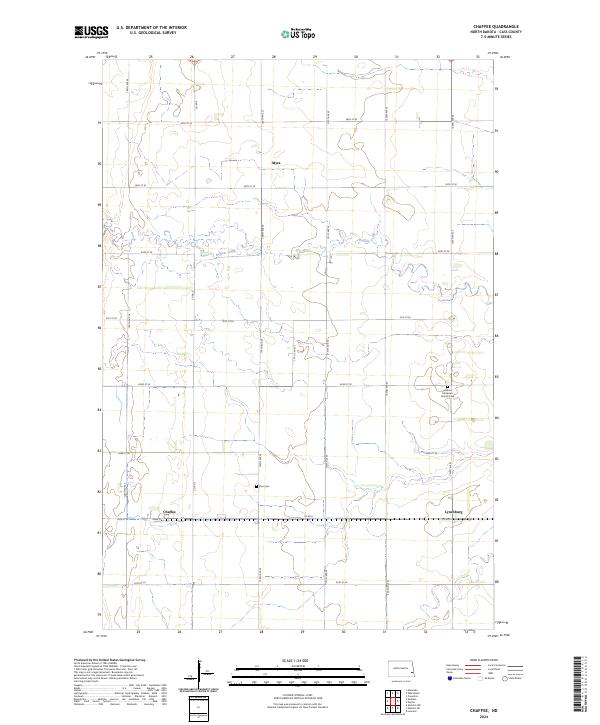 2024 Chaffee2024 Print · USGSCass County farming communities and the winding Buffalo Creek define this rural landscape in the 2020s. Researchers can locate legacy sites like Goshen Moravian Church Cem and the small settlements of Chaffee and Lynchburg.
 - 2024 Map of Sheldon NE, 2024 Print
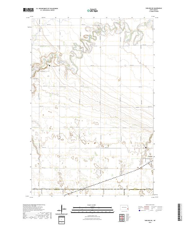 2024 Sheldon NE2024 Print · USGSSoutheastern North Dakota's agricultural plains and winding river valleys are captured here in the early twenty-first century. Genealogists and local researchers can trace burial sites at Watson Cem and Leonard Cem or explore the settlement of Leonard.
 - 2024 Map of Sheldon NW, 2024 Print
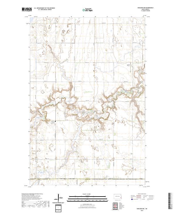 2024 Sheldon NW2024 Print · USGSThe Maple River valley cuts a serpentine path through the North Dakota prairie in this contemporary survey of Cass County. Genealogists can locate the Highland Township Pioneer Cem, while researchers can trace the landscape from the Cass County Waterfowl Production Area to the J Vining Airport.
 - 2024 Map of Embden, 2024 Print
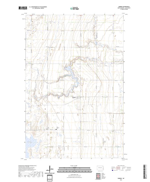 2024 Embden2024 Print · USGSCurrent-day Cass County remains a landscape of sprawling agriculture and vital wetlands. Genealogists can locate Saint John's Cem and Tabor Moravian Cem while outdoorsmen trace Buffalo Creek and the CC WPA.
End of results
Showing maps 1-8 of 8
Top cities near Walburg Township
- Casselton historical maps
- Enderlin historical maps
- Leonard historical maps
- Buffalo historical maps
- Barrie Township historical maps
- Wheatland historical maps
See more
Top neighborhoods of Walburg Township
Frequently asked questions
- What are the different types of historical maps available for Walburg Township?
- What is the oldest map of Walburg Township?
- Where can I purchase historical maps of Walburg Township for my home or office?
- Where can I download high-res historical maps of Walburg Township?
- Are there historical topographic maps available for Walburg Township?
- Is there historical aerial imagery available for Walburg Township?
- Where are historical maps of Walburg Township sourced from?