2020s Maps of Alsen, North Dakota
Explore 8 historic maps of Alsen from the 2020s. These maps offer a rare glimpse into what life looked like during the 2020s — showing old roads, neighborhoods, homes, and landmarks that have changed or disappeared over time.
Whether you're researching your family's past, planning a metal detecting trip, or studying how Alsen's landscape evolved across the 2020s, these high-resolution maps are a powerful tool for exploring the history of this region.
- Focus on a specific era: All maps on this page are from the 2020s, giving you a focused view of this time period.
- See what’s changed: Compare century-old streets, trails, and buildings to today's modern landscape using overlays and satellite layers.
- Research with precision: Use these maps for genealogy, historical research, land use analysis, or educational projects.
- View, download, or print: Maps are fully viewable online in high resolution, and can be downloaded or printed for your own records.
Start exploring Alsen's history through authentic maps from the 2020s. This is your window into the past.
Alsen, ND maps
(8)- 2020 Map of Munich, 2020 Print
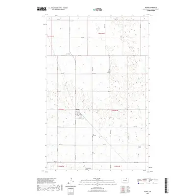 2020 Munich2020 Print · USGSCovers Alsen, including Munich, Cavalier County, and other nearby areas
 - 2020 Map of Hampden, 2020 Print
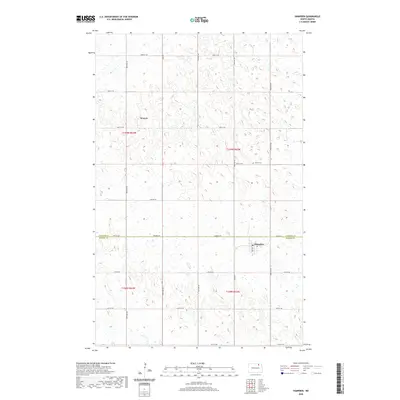 2020 Hampden2020 Print · USGSCovers Alsen, including Hampden, Weaver, and other nearby areas
 - 2020 Map of Alsen, 2020 Print
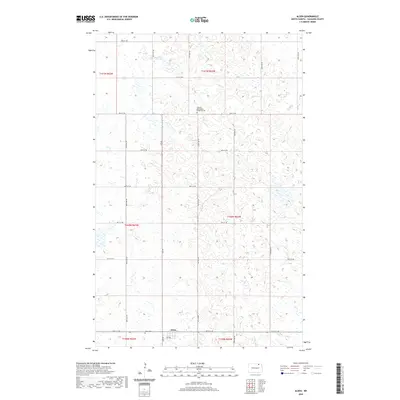 2020 Alsen2020 Print · USGSCovers Alsen, including Cavalier County, United States, and other nearby areas
 - 2020 Map of Munich SE, 2020 Print
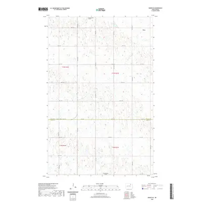 2020 Munich SE2020 Print · USGSCovers Alsen, including Cavalier County, Ramsey County, and other nearby areas
 - 2024 Map of Munich, 2024 Print
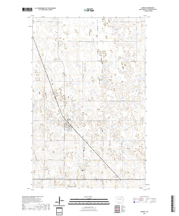 2024 Munich2024 Print · USGSCavalier County agriculture and rural life are centered around Munich in this contemporary 2024 survey. Genealogists and local historians can trace family locations through several key landmarks including Saint Marys Cem and Starkweather Coulee.
 - 2024 Map of Hampden, 2024 Print
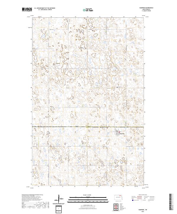 2024 Hampden2024 Print · USGSThe border of Cavalier and Ramsey Counties is captured in this modern survey of North Dakota's pothole region. Researchers can locate the rural settlements of Alsen, Weaver, and Hampden, or trace local roots at the Storlie Cem near the waterfowl production areas.
 - 2024 Map of Munich SE, 2024 Print
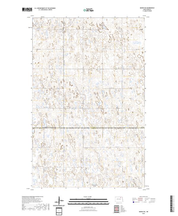 2024 Munich SE2024 Print · USGSNorth Dakota's prairie wetlands and the small settlement of Alsen are documented here in the early twenty-first century. Researchers can trace land boundaries across the Cavalier Co Ramsey Co line or locate conservation sites like Starkweather Coulee and the Cavalier County WPA.
 - 2024 Map of Alsen, 2024 Print
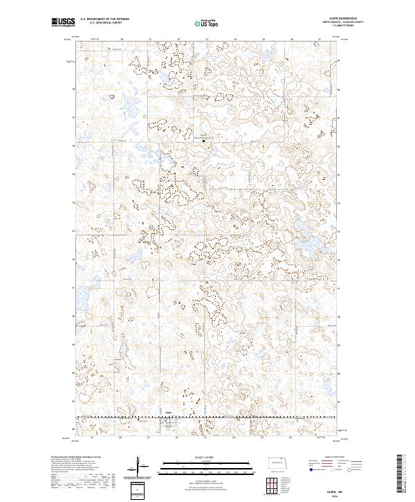 2024 Alsen2024 Print · USGSNorth Dakota's northern agricultural landscape is captured here in the 2020s, showing the enduring structure of the prairie pothole region. Genealogists and local historians can trace the community footprint through the Alsen Cem and the Rosehill Mennonite Brethren Cem.
End of results
Showing maps 1-8 of 8
Top cities near Alsen
- Munich historical maps
- Starkweather historical maps
- Hampden historical maps
- Calvin historical maps
- Calio historical maps
- Loma historical maps
Frequently asked questions
- What are the different types of historical maps available for Alsen?
- What is the oldest map of Alsen?
- Where can I purchase historical maps of Alsen for my home or office?
- Where can I download high-res historical maps of Alsen?
- Are there historical topographic maps available for Alsen?
- Is there historical aerial imagery available for Alsen?
- Where are historical maps of Alsen sourced from?