Old Maps of Keystone Township, North Dakota
Explore 30 old maps of Keystone Township, spanning from 1894 to today. These high-resolution historic maps reveal how streets, neighborhoods, landmarks, and natural features evolved over time — perfect for genealogy, metal detecting, research, and local history exploration.
What you can do with these maps:
- See how Keystone Township changed over time: Compare historical maps to modern-day views to trace roads, homesites, rail lines & more.
- View detailed metadata: Each map includes creators, publishers, year, scale, and archive source.
- Overlay maps with satellite & LiDAR: Visualize the past alongside modern tools to explore terrain & human change.
- Trusted historical sources: Maps sourced from the USGS, Library of Congress, and other archives.
- Access maps your way: View online, download high-res files, or order prints for personal or research use.
Start exploring old maps of Keystone Township to uncover forgotten places, hidden landmarks, and the deep history beneath your feet.
Keystone Township, ND maps
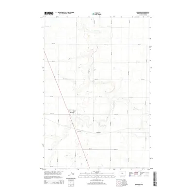
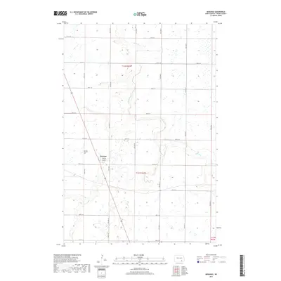
(30)- 1894 Map of Monango
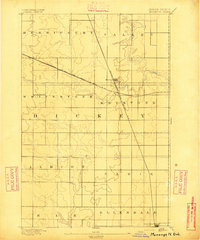 1894 Monango1894 Print · USGSSouthern North Dakota was a landscape of pioneering railroads and new township boundaries in the early 1890s. Genealogists and historians can trace the early rail junctions at Monango or locate landholdings within the districts of Whitestone and Keystone.
 - 1896 Map of Edgeley
 1896 Edgeley1896 Print · USGSDakota Territory had only recently achieved statehood when these rail lines began carving through the prairie. Genealogists can trace the early foundations of Edgeley, Kulm, and Ellendale alongside rural townships like Whitestone and Glenmore.2 unique versions available
 - 1925 Map of Edgeley
 1925 Edgeley1925 Print · USGSLaMoure and Dickey Counties are shown in the mid-1920s as a complex network of rail lines and prairie townships. Trace the early layout of Ellendale, the historical Whitestone Battlefield Park, and rail stops at Deisem and Medberry.2 unique versions available
 - 1953 Map of Jamestown
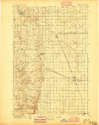
 1953 Jamestown1953 Print · USGSSoutheastern North Dakota was a thriving rail and agricultural corridor in the early fifties, anchored by the James River. Researchers can trace the footprints of institutional landmarks like the North Dakota State Hospital and historic sites such as Whitestone Hill Battlefield Park.3 unique versions available
 - 1956 Map of Jamestown
 1956 Jamestown1956 Print · USGSThe James River valley and the vast alkali lake country of south-central North Dakota are captured here in the mid-fifties. Genealogists can trace family farms across several counties, locating small rail stops like Medberry and monuments like Whitestone Hill Battlefield Park.
 - 1956 Map of Ellendale North, 1957 Print
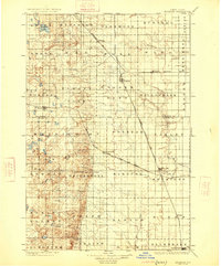
 1956 Ellendale North1957 Print · USGSNorth Dakota's southern prairie comes into focus during the mid-fifties, showing a landscape of townships and transition. Genealogists and historians can trace the paths of the Chicago Milwaukee St Paul and Pacific through Duane or locate rural schools like Farming Valley Sch No 2.
 - 1982 Map of Monango NW, 1983 Print
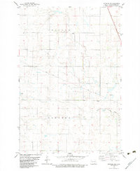 1982 Monango NW1983 Print · USGSDickey County in the early eighties reveals a structured landscape of prairie townships and rail-side settlements. Genealogists and researchers can trace the local community through landmarks like Monango, the Townhall, and burial sites at Peace Cem and St Pauls Cem.
 - 1982 Map of Monango SW, 1983 Print
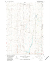 1982 Monango SW1983 Print · USGSThe Dickey County prairie comes into focus in the early eighties, showcasing a landscape of section-line roads and conservation wetlands. Researchers can locate the local Townhall, trace family roots at the Cem, or find the shoreline of Pheasant Lake.
 - 1982 Map of Monango, 1983 Print
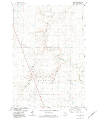 1982 Monango1983 Print · USGSNorth Dakota's prairie landscape in the late seventies is centered on the village of Monango and the winding Maple River. Genealogists and historians can trace the Soo Line railroad past the Townhall and through the small stations of Boynton and Monango Crossing.
 - 1986 Map of La Moure
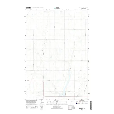
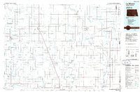 1986 La Moure1986 Print · USGSMid-century settlement patterns and water management define this stretch of the North Dakota prairie during the 1980s. Researchers can trace historic rail lines like the Soo Line or locate sites such as Whitestone Battlefield State Park and Ellendale.2 unique versions available
 - 2011 Map of Monango SW, 2011 Print
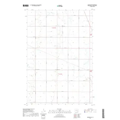
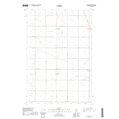
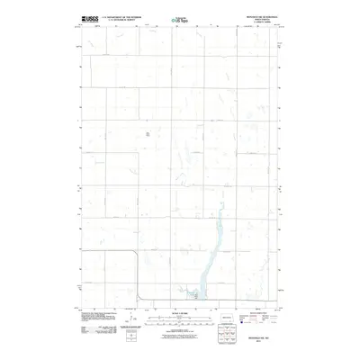 2011 Monango SW2011 Print · USGSCovers Keystone Township, including Hamburg Township, Elden Township, and other nearby areas
 - 2011 Map of Ellendale North, 2011 Print
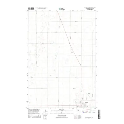
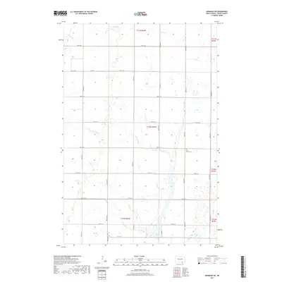
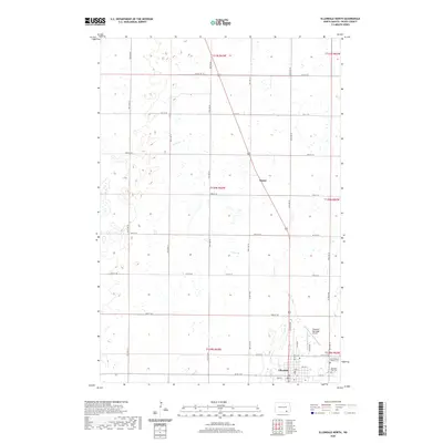
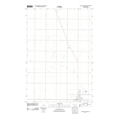 2011 Ellendale North2011 Print · USGSCovers Keystone Township, including Ellendale, Kentner Township, and other nearby areas
 - 2011 Map of Monango, 2011 Print
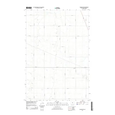
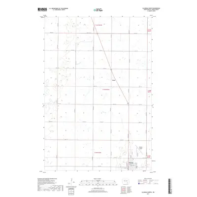
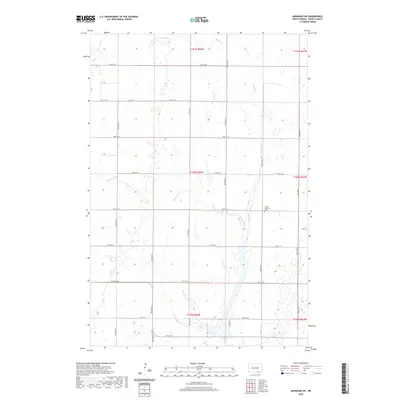
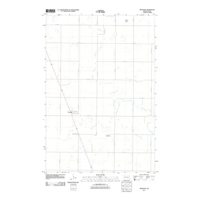 2011 Monango2011 Print · USGSCovers Keystone Township, including Monango, Maple Township, and other nearby areas
 - 2011 Map of Monango NW, 2011 Print
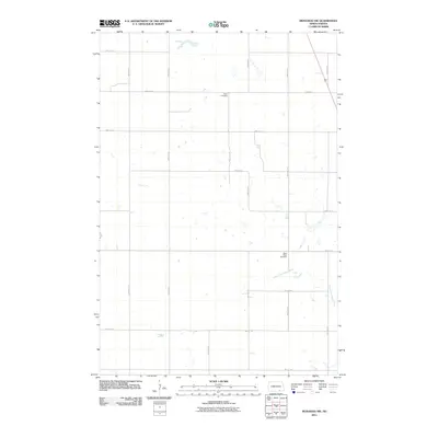 2011 Monango NW2011 Print · USGSCovers Keystone Township, including Potsdam Township, Hamburg Township, and other nearby areas
 - 2014 Map of Monango, 2014 Print
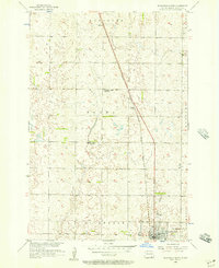
 2014 Monango2014 Print · USGSCovers Keystone Township, including Monango, Maple Township, and other nearby areas
 - 2014 Map of Monango NW, 2014 Print
 2014 Monango NW2014 Print · USGSCovers Keystone Township, including Potsdam Township, Hamburg Township, and other nearby areas
 - 2014 Map of Ellendale North, 2014 Print
 2014 Ellendale North2014 Print · USGSCovers Keystone Township, including Ellendale, Kentner Township, and other nearby areas
 - 2014 Map of Monango SW, 2014 Print
 2014 Monango SW2014 Print · USGSCovers Keystone Township, including Hamburg Township, Elden Township, and other nearby areas
 - 2017 Map of Monango NW, 2017 Print
 2017 Monango NW2017 Print · USGSCovers Keystone Township, including Potsdam Township, Hamburg Township, and other nearby areas
 - 2017 Map of Monango SW, 2017 Print
 2017 Monango SW2017 Print · USGSCovers Keystone Township, including Hamburg Township, Elden Township, and other nearby areas
 - 2017 Map of Monango, 2017 Print
 2017 Monango2017 Print · USGSCovers Keystone Township, including Monango, Maple Township, and other nearby areas
 - 2017 Map of Ellendale North, 2017 Print
 2017 Ellendale North2017 Print · USGSCovers Keystone Township, including Ellendale, Kentner Township, and other nearby areas
 - 2020 Map of Monango NW, 2020 Print
 2020 Monango NW2020 Print · USGSCovers Keystone Township, including Potsdam Township, Hamburg Township, and other nearby areas
 - 2020 Map of Monango SW, 2020 Print
 2020 Monango SW2020 Print · USGSCovers Keystone Township, including Hamburg Township, Elden Township, and other nearby areas
 - 2020 Map of Ellendale North, 2020 Print
 2020 Ellendale North2020 Print · USGSCovers Keystone Township, including Ellendale, Kentner Township, and other nearby areas
Showing maps 1-25 of 30
Top cities near Keystone Township
- Ellendale historical maps
- Edgeley historical maps
- Fullerton historical maps
- Forbes historical maps
- Berlin historical maps
- Monango historical maps
Top neighborhoods of Keystone Township
Frequently asked questions
- What are the different types of historical maps available for Keystone Township?
- What is the oldest map of Keystone Township?
- Where can I purchase historical maps of Keystone Township for my home or office?
- Where can I download high-res historical maps of Keystone Township?
- Are there historical topographic maps available for Keystone Township?
- Is there historical aerial imagery available for Keystone Township?
- Where are historical maps of Keystone Township sourced from?