Old Maps of Crosby, North Dakota for Academic Research
Study the evolution of Crosby with 10 high-resolution historic maps. Whether you're teaching, researching, or modeling changes in land use, these maps provide essential visual documentation of urban, environmental, and geographic change.
- Analyze long-term change: Track patterns in development, transportation, and natural features.
- Ideal for environmental or urban studies: Support academic projects with primary historical map data.
- Use in the classroom or lab: Educators and researchers rely on these maps to bring historical context to life.
These maps are a powerful tool for teaching, research, and visualizing how Crosby has changed over the decades.
Crosby, ND maps
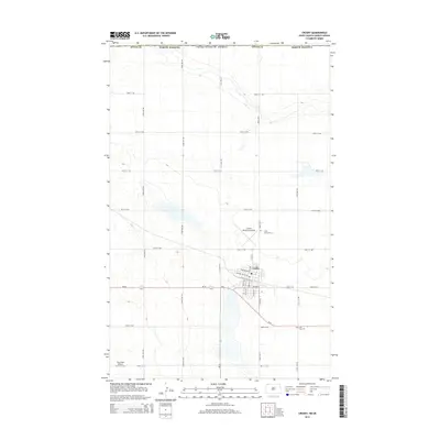
(10)- 1948 Map of Crosby
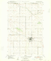 1948 Crosby1948 Print · USGSDivide County sits at the international border in the late 1940s, anchored by the rail hub at Crosby. Researchers can trace the dual rail lines of the Great Northern and the Soo Line, alongside family-history landmarks like St Patricks Cem and rural schools.2 unique versions available
 - 1950 Map of Crosby
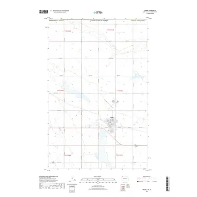
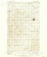 1950 Crosby1950 Print · USGSDivide County sits at the intersection of the Canadian and Montana borders in the mid-century, defined by a vast grid of prairie townships and rail lines. Genealogists can trace rural life through numerous country schools like Hawkeye Sch and Roseville Sch, or local landmarks like Ambrose Cem and the Crosby Country Club.2 unique versions available
 - 1953 Map of Williston, 1968 Print
 1953 Williston1968 Print · USGSThe North Dakota high plains meet the waters of Sakakawea Lake in this mid-century survey of the northern borderlands. Trace the rail-and-ranch economy through sites like Anderson Sky Ranch, Sevenmile Corner, and the strip mines near Columbus.2 unique versions available
 - 1957 Map of Williston
 1957 Williston1957 Print · USGSNorthwestern North Dakota is shown here during the mid-fifties, dominated by the sweeping plains and the Missouri River valley. Genealogists and local historians can trace the paths of the Great Northern railroad through Williston, Tioga, and Ray, or locate early industry like the coal strip mines near Lignite.
 - 1984 Map of Crosby
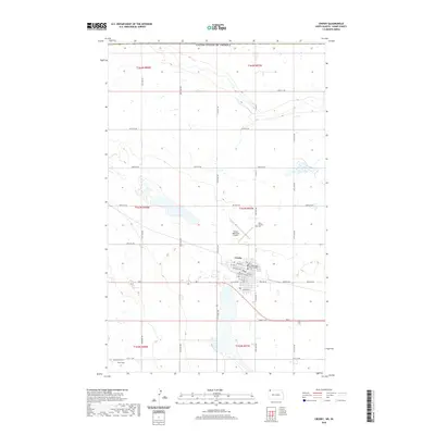
 1984 Crosby1984 Print · USGSNorthwestern North Dakota during the mid-1980s shows a landscape of prairie wetlands and railroad towns near the Canadian border. Researchers can trace the Old Bounty Railroad Grade or locate the Fortuna Air Force Station alongside family-named landmarks like Piepers Lake and Tom Berg Lake.2 unique versions available
 - 2011 Map of Crosby, 2011 Print
 2011 Crosby2011 Print · USGSCovers Crosby, including Cambria No. 6, Divide County, and other nearby areas
 - 2014 Map of Crosby, 2014 Print
 2014 Crosby2014 Print · USGSCovers Crosby, including Cambria No. 6, Divide County, and other nearby areas
 - 2017 Map of Crosby, 2017 Print
 2017 Crosby2017 Print · USGSCovers Crosby, including Cambria No. 6, Divide County, and other nearby areas
 - 2020 Map of Crosby, 2020 Print
 2020 Crosby2020 Print · USGSCovers Crosby, including Cambria No. 6, Divide County, and other nearby areas
 - 2024 Map of Crosby, 2024 Print
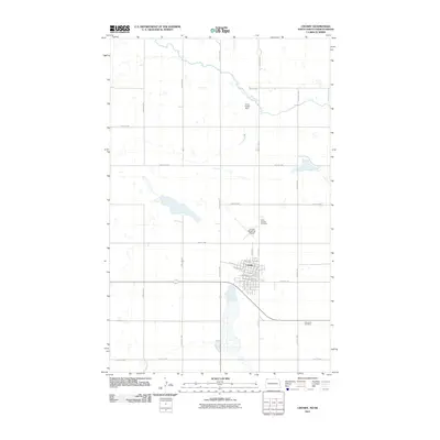
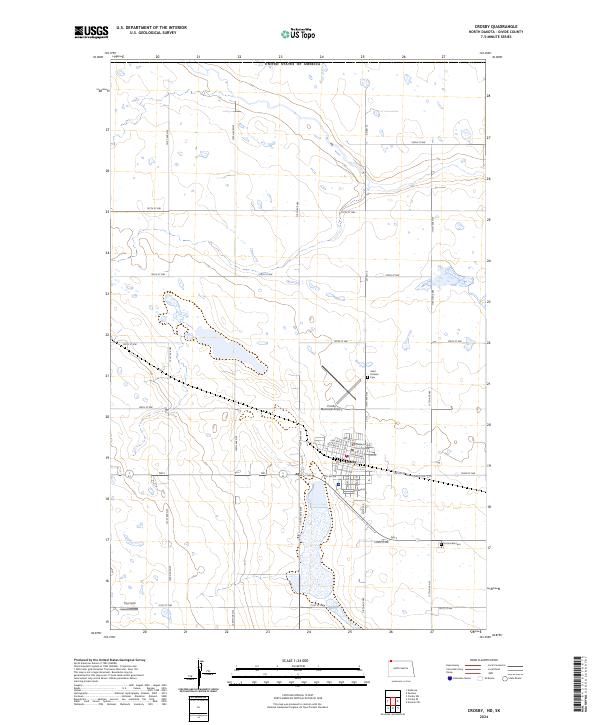 2024 Crosby2024 Print · USGSCrosby sits near the Canadian border in this recent survey of the North Dakota plains. Genealogists and local historians can locate the Divide County Court House, Saint Patricks Cem, and the expansive Divide County Waterfowl Production Area.
End of results
Showing maps 1-10 of 10
Top cities near Crosby
Frequently asked questions
- What are the different types of historical maps available for Crosby?
- What is the oldest map of Crosby?
- Where can I purchase historical maps of Crosby for my home or office?
- Where can I download high-res historical maps of Crosby?
- Are there historical topographic maps available for Crosby?
- Is there historical aerial imagery available for Crosby?
- Where are historical maps of Crosby sourced from?