Old Maps of Noonan, North Dakota
Explore 11 old maps of Noonan, spanning from 1947 to today. These high-resolution historic maps reveal how streets, neighborhoods, landmarks, and natural features evolved over time — perfect for genealogy, metal detecting, research, and local history exploration.
What you can do with these maps:
- See how Noonan changed over time: Compare historical maps to modern-day views to trace roads, homesites, rail lines & more.
- View detailed metadata: Each map includes creators, publishers, year, scale, and archive source.
- Overlay maps with satellite & LiDAR: Visualize the past alongside modern tools to explore terrain & human change.
- Trusted historical sources: Maps sourced from the USGS, Library of Congress, and other archives.
- Access maps your way: View online, download high-res files, or order prints for personal or research use.
Start exploring old maps of Noonan to uncover forgotten places, hidden landmarks, and the deep history beneath your feet.
Noonan, ND maps
(11)- 1947 Map of Noonan, 1963 Print
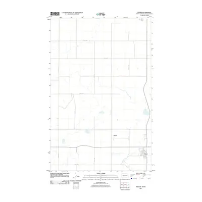
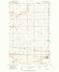 1947 Noonan1963 Print · USGSThe North Dakota borderlands come alive in the late 1940s, showing a prairie landscape shaped by coal mining and competing rail lines. Genealogists and historians can trace local farm life through several rural schools and the neighboring settlements of Noonan and Kermit.2 unique versions available
 - 1949 Map of Noonan
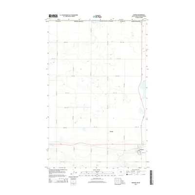
 1949 Noonan1949 Print · USGSNoonan and the northern Divide County borderlands are captured here in the late 1940s, showing a landscape defined by mining and rail. Local researchers can trace the early industrial footprint of the Coal Field and Strip Mine near Kermit and Bluffton.
 - 1950 Map of Noonan
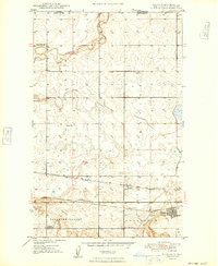
 1950 Noonan1950 Print · USGSThe North Dakota borderlands come alive in the mid-century, showing a landscape defined by the Great Northern railroad and rural townships. Genealogists can trace family roots through a dense network of schoolhouses and country churches like Zion Ch and Long Creek Ch.2 unique versions available
 - 1953 Map of Williston, 1968 Print
 1953 Williston1968 Print · USGSThe North Dakota high plains meet the waters of Sakakawea Lake in this mid-century survey of the northern borderlands. Trace the rail-and-ranch economy through sites like Anderson Sky Ranch, Sevenmile Corner, and the strip mines near Columbus.2 unique versions available
 - 1957 Map of Williston
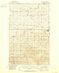
 1957 Williston1957 Print · USGSNorthwestern North Dakota is shown here during the mid-fifties, dominated by the sweeping plains and the Missouri River valley. Genealogists and local historians can trace the paths of the Great Northern railroad through Williston, Tioga, and Ray, or locate early industry like the coal strip mines near Lignite.
 - 1984 Map of Crosby
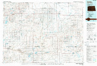 1984 Crosby1984 Print · USGSNorthwestern North Dakota during the mid-1980s shows a landscape of prairie wetlands and railroad towns near the Canadian border. Researchers can trace the Old Bounty Railroad Grade or locate the Fortuna Air Force Station alongside family-named landmarks like Piepers Lake and Tom Berg Lake.2 unique versions available
 - 2011 Map of Noonan, 2011 Print
 2011 Noonan2011 Print · USGSCovers Noonan, including Divide County, Estevan No. 5, and other nearby areas
 - 2014 Map of Noonan, 2014 Print
 2014 Noonan2014 Print · USGSCovers Noonan, including Divide County, Estevan No. 5, and other nearby areas
 - 2017 Map of Noonan, 2017 Print
 2017 Noonan2017 Print · USGSCovers Noonan, including Divide County, Estevan No. 5, and other nearby areas
 - 2020 Map of Noonan, 2020 Print
 2020 Noonan2020 Print · USGSCovers Noonan, including Divide County, Estevan No. 5, and other nearby areas
 - 2024 Map of Noonan, 2024 Print
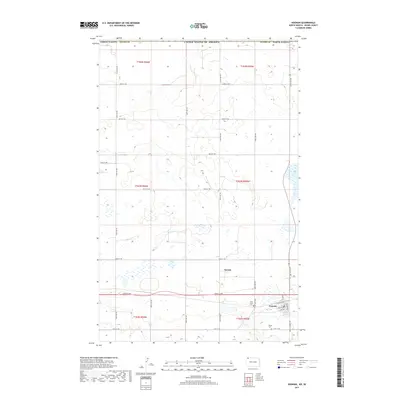
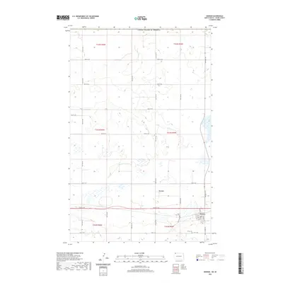
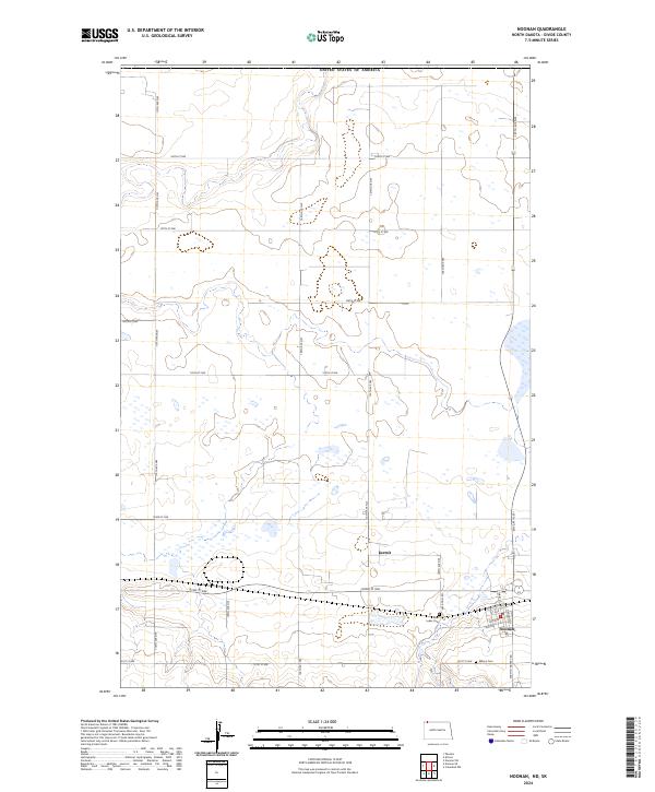 2024 Noonan2024 Print · USGSThe Divide County prairie near the Canadian border comes into focus in this contemporary survey of the area around Noonan. Researchers can trace local history through the town's street grid, the location of Kermit, and local burial sites like Saint Lukes Cem and Wilson Cem.
End of results
Showing maps 1-11 of 11
Top cities near Noonan
Frequently asked questions
- What are the different types of historical maps available for Noonan?
- What is the oldest map of Noonan?
- Where can I purchase historical maps of Noonan for my home or office?
- Where can I download high-res historical maps of Noonan?
- Are there historical topographic maps available for Noonan?
- Is there historical aerial imagery available for Noonan?
- Where are historical maps of Noonan sourced from?