Old Maps of New England, North Dakota for Academic Research
Study the evolution of New England with 15 high-resolution historic maps. Whether you're teaching, researching, or modeling changes in land use, these maps provide essential visual documentation of urban, environmental, and geographic change.
- Analyze long-term change: Track patterns in development, transportation, and natural features.
- Ideal for environmental or urban studies: Support academic projects with primary historical map data.
- Use in the classroom or lab: Educators and researchers rely on these maps to bring historical context to life.
These maps are a powerful tool for teaching, research, and visualizing how New England has changed over the decades.
New England, ND maps
(15)- 1953 Map of Dickinson, 1968 Print
 1953 Dickinson1968 Print · USGSWestern North Dakota in the fifties remains a landscape of rail-linked prairie towns and rugged badlands. Trace the local impact of the Northern Pacific railroad through Dickinson or locate early rural landmarks like Rainy Butte Church and Boys Ranch.2 unique versions available
 - 1957 Map of Dickinson
 1957 Dickinson1957 Print · USGSSouthwestern North Dakota in the mid-fifties is a landscape of coal mining and tight-knit rural school districts. Genealogists can trace family footprints through numerous country schools like Fisher School and parish churches like St Stephens.
 - 1973 Map of New England, 1977 Print
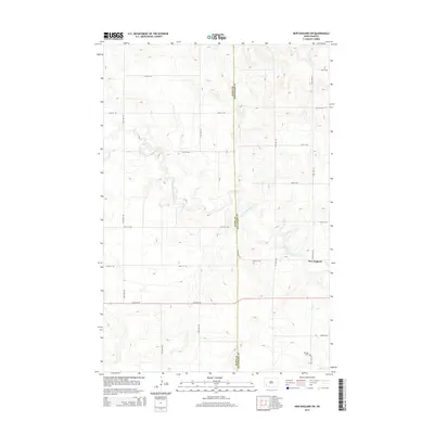
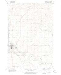 1973 New England1977 Print · USGSHettinger County in the early seventies centers on the rail-and-river hub of New England as it supports the surrounding prairie townships. Genealogists and local historians can trace the town's social fabric through St Marys Sch, the local Cem, and the vital Milwaukee Road railroad corridor.
 - 1973 Map of New England SW, 1977 Print
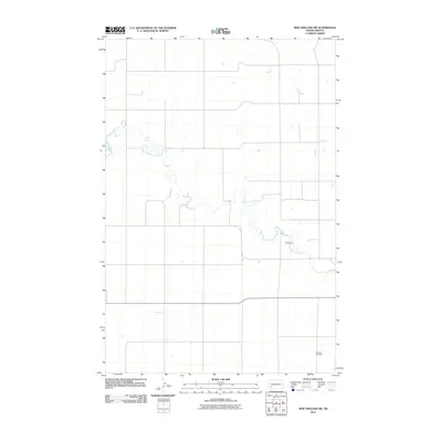
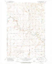 1973 New England SW1977 Print · USGSThe North Dakota prairie during the 1970s reveals a landscape shaped by the Cannonball River and the towering heights of Rainy Butte. Researchers can trace the border of Slope County, locate the Schmidt Cem, and explore the rural outskirts of New England.
 - 1981 Map of Dickinson
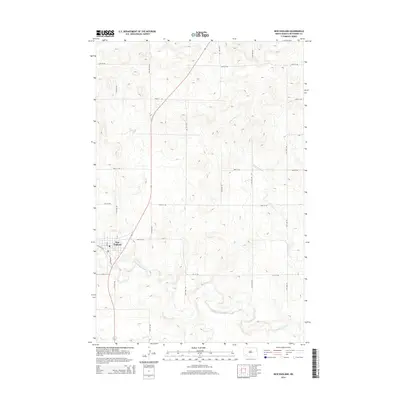
 1981 Dickinson1981 Print · USGSSouthwestern North Dakota prairie and the growing hub of Dickinson are captured here in the early eighties. Genealogists and local historians can trace the rail-side growth of Hebron and Gladstone or locate rural landmarks like New Hradec and Custer Lookout.
 - 2011 Map of New England, 2011 Print
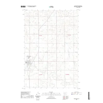
 2011 New England2011 Print · USGSCovers New England, including Hettinger County, United States, and other nearby areas
 - 2011 Map of New England SW, 2011 Print
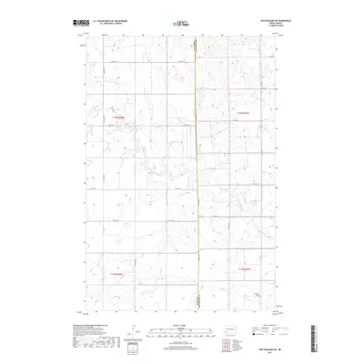
 2011 New England SW2011 Print · USGSCovers New England, including Slope County, Hettinger County, and other nearby areas
 - 2014 Map of New England SW, 2014 Print
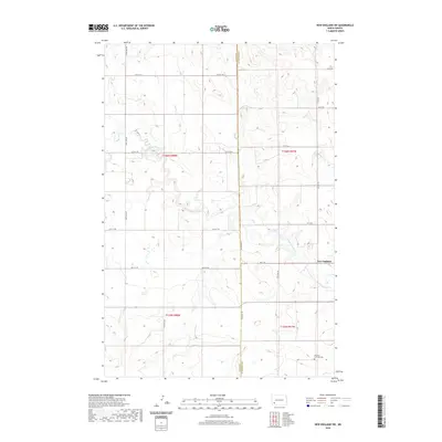
 2014 New England SW2014 Print · USGSCovers New England, including Slope County, Hettinger County, and other nearby areas
 - 2014 Map of New England, 2014 Print
 2014 New England2014 Print · USGSCovers New England, including Hettinger County, United States, and other nearby areas
 - 2017 Map of New England, 2017 Print
 2017 New England2017 Print · USGSCovers New England, including Hettinger County, United States, and other nearby areas
 - 2017 Map of New England SW, 2017 Print
 2017 New England SW2017 Print · USGSCovers New England, including Slope County, Hettinger County, and other nearby areas
 - 2020 Map of New England SW, 2020 Print
 2020 New England SW2020 Print · USGSCovers New England, including Slope County, Hettinger County, and other nearby areas
 - 2020 Map of New England, 2020 Print
 2020 New England2020 Print · USGSCovers New England, including Hettinger County, United States, and other nearby areas
 - 2024 Map of New England SW, 2024 Print
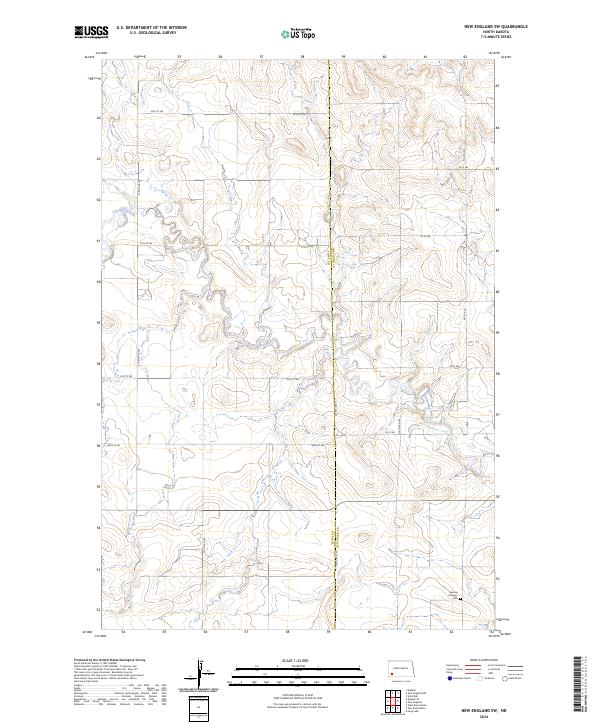 2024 New England SW2024 Print · USGSThe borderlands of Slope and Hettinger counties are captured in this modern survey of the prairie landscape. Researchers can locate the German Lutheran Cem and trace the complex meanders of the Cannonball River as it cuts through the local townships.
 - 2024 Map of New England, 2024 Print
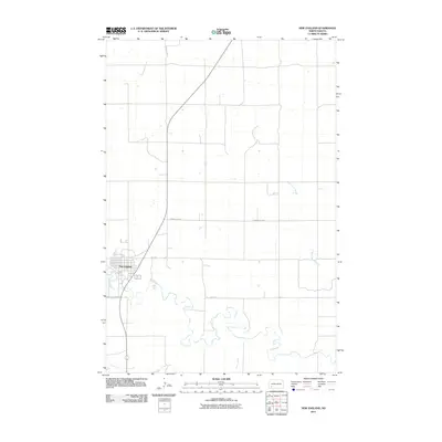
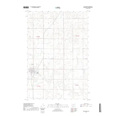
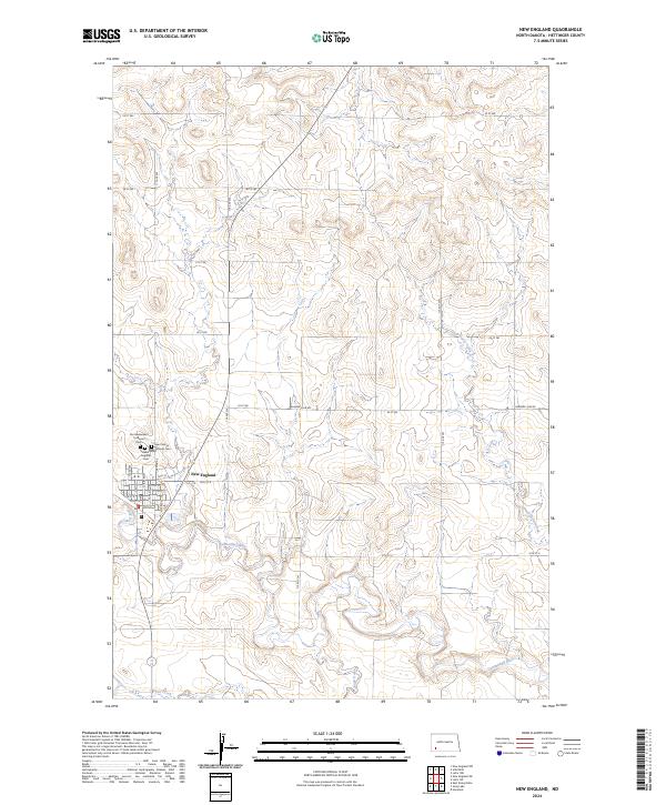 2024 New England2024 Print · USGSNew England and the surrounding Hettinger County prairie are documented here in the early twenty-first century. Genealogists and local historians can trace family locations through the town's street grid and the nearby Saint Marys Catholic Cem and New England Cem.
End of results
Showing maps 1-15 of 15
Top cities near New England
Frequently asked questions
- What are the different types of historical maps available for New England?
- What is the oldest map of New England?
- Where can I purchase historical maps of New England for my home or office?
- Where can I download high-res historical maps of New England?
- Are there historical topographic maps available for New England?
- Is there historical aerial imagery available for New England?
- Where are historical maps of New England sourced from?