Old Maps of Adrian Township, North Dakota
Explore 28 old maps of Adrian Township, spanning from 1896 to today. These high-resolution historic maps reveal how streets, neighborhoods, landmarks, and natural features evolved over time — perfect for genealogy, metal detecting, research, and local history exploration.
What you can do with these maps:
- See how Adrian Township changed over time: Compare historical maps to modern-day views to trace roads, homesites, rail lines & more.
- View detailed metadata: Each map includes creators, publishers, year, scale, and archive source.
- Overlay maps with satellite & LiDAR: Visualize the past alongside modern tools to explore terrain & human change.
- Trusted historical sources: Maps sourced from the USGS, Library of Congress, and other archives.
- Access maps your way: View online, download high-res files, or order prints for personal or research use.
Start exploring old maps of Adrian Township to uncover forgotten places, hidden landmarks, and the deep history beneath your feet.
Adrian Township, ND maps
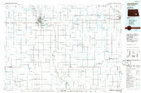
(28)- 1896 Map of Jamestown
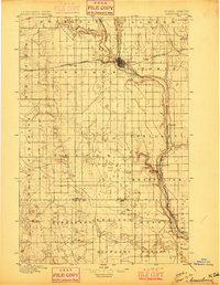 1896 Jamestown1896 Print · USGSJamestown and the surrounding prairie were rapidly developing at the close of the nineteenth century as the railroad transformed the territory. Genealogists and historians can trace the early rail stops and river settlements like Eldridge, Ypsilanti, and Adrian.3 unique versions available
 - 1953 Map of Jamestown
 1953 Jamestown1953 Print · USGSSoutheastern North Dakota was a thriving rail and agricultural corridor in the early fifties, anchored by the James River. Researchers can trace the footprints of institutional landmarks like the North Dakota State Hospital and historic sites such as Whitestone Hill Battlefield Park.3 unique versions available
 - 1953 Map of Montpelier, 1954 Print
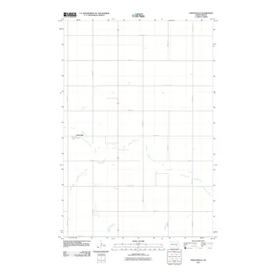
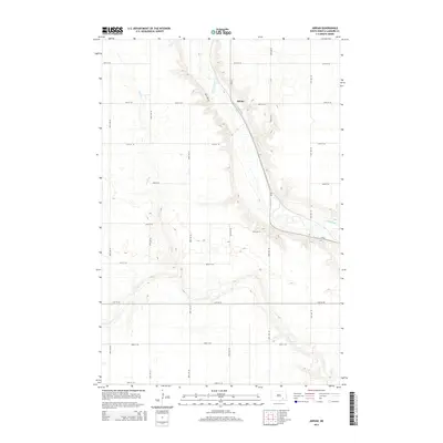
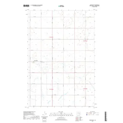
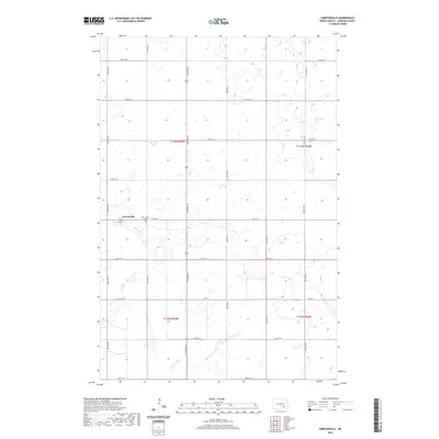
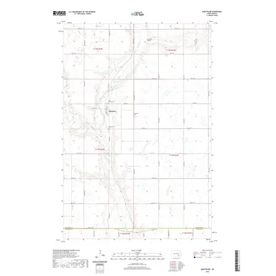
 1953 Montpelier1954 Print · USGSIn the early fifties, the township of Montpelier served as a rural hub along the Northern Pacific railroad and the James River. Researchers can trace the layout of country life through School No 2 and family heritage at St Huberts Cem.
 - 1953 Map of Montpelier NW, 1955 Print
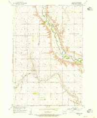
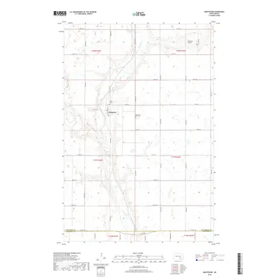
 1953 Montpelier NW1955 Print · USGSThe rural prairie of Stutsman and La Moure counties is captured here in the early 1950s as the Missouri River Basin program expanded local infrastructure. Genealogists and researchers can trace the townships of Sydney and Severn or locate old schoolhouses like School No 1 and School No 2 along the banks of Beaver Creek.
 - 1953 Map of Adrian, 1955 Print
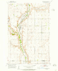
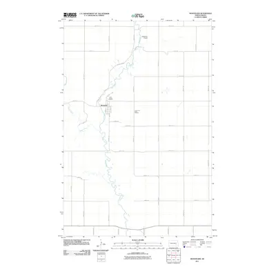
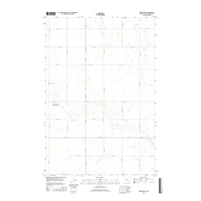
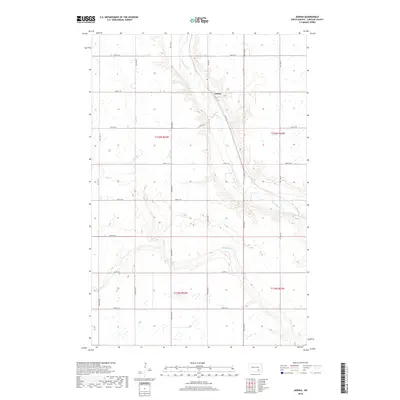
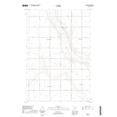
 1953 Adrian1955 Print · USGSLaMoure County's agricultural landscape is centered on the river valley and rail corridor during the early 1950s. Family historians can trace rural infrastructure through School No 3 and the Northern Pacific line as it passes through Adrian.
 - 1953 Map of Nortonville, 1955 Print
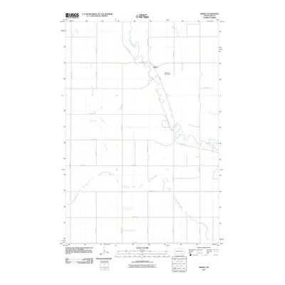
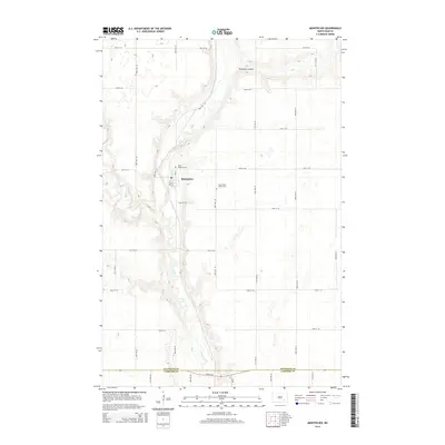
 1953 Nortonville1955 Print · USGSLaMoure County in the early fifties shows a rural landscape defined by the Midland Continental railroad and the winding Bone Hill Creek. Genealogists can locate specific family school districts such as School No 3 and Glenmore Sch near the settlement of Nortonville.
 - 1956 Map of Jamestown
 1956 Jamestown1956 Print · USGSThe James River valley and the vast alkali lake country of south-central North Dakota are captured here in the mid-fifties. Genealogists can trace family farms across several counties, locating small rail stops like Medberry and monuments like Whitestone Hill Battlefield Park.
 - 1986 Map of Jamestown
 1986 Jamestown1986 Print · USGSThe eastern North Dakota prairie comes into focus in the mid-eighties, centered on the rail and river hubs of Jamestown and Valley City. You can trace the Burlington Northern line through historic stops like Eckelson, Sanborn, and Spiritwood while exploring vast wildlife refuges and local landmarks.2 unique versions available
 - 2011 Map of Montpelier NW, 2011 Print
 2011 Montpelier NW2011 Print · USGSCovers Adrian Township, including Kenniston Township, Stutsman County, and other nearby areas
 - 2011 Map of Montpelier, 2011 Print
 2011 Montpelier2011 Print · USGSCovers Adrian Township, including Montpelier, Saratoga Township, and other nearby areas
 - 2011 Map of Nortonville, 2011 Print
 2011 Nortonville2011 Print · USGSCovers Adrian Township, including Russell Township, Kenniston Township, and other nearby areas
 - 2011 Map of Adrian, 2011 Print
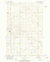
 2011 Adrian2011 Print · USGSCovers Adrian Township, including Russell Township, Roscoe Township, and other nearby areas
 - 2014 Map of Nortonville, 2014 Print
 2014 Nortonville2014 Print · USGSCovers Adrian Township, including Russell Township, Kenniston Township, and other nearby areas
 - 2014 Map of Montpelier NW, 2014 Print
 2014 Montpelier NW2014 Print · USGSCovers Adrian Township, including Kenniston Township, Stutsman County, and other nearby areas
 - 2014 Map of Adrian, 2014 Print
 2014 Adrian2014 Print · USGSCovers Adrian Township, including Russell Township, Roscoe Township, and other nearby areas
 - 2014 Map of Montpelier, 2014 Print
 2014 Montpelier2014 Print · USGSCovers Adrian Township, including Montpelier, Saratoga Township, and other nearby areas
 - 2017 Map of Montpelier NW, 2017 Print
 2017 Montpelier NW2017 Print · USGSCovers Adrian Township, including Kenniston Township, Stutsman County, and other nearby areas
 - 2018 Map of Montpelier, 2018 Print
 2018 Montpelier2018 Print · USGSCovers Adrian Township, including Montpelier, Saratoga Township, and other nearby areas
 - 2018 Map of Adrian, 2018 Print
 2018 Adrian2018 Print · USGSCovers Adrian Township, including Russell Township, Roscoe Township, and other nearby areas
 - 2018 Map of Nortonville, 2018 Print
 2018 Nortonville2018 Print · USGSCovers Adrian Township, including Russell Township, Kenniston Township, and other nearby areas
 - 2020 Map of Montpelier NW, 2020 Print
 2020 Montpelier NW2020 Print · USGSCovers Adrian Township, including Kenniston Township, Stutsman County, and other nearby areas
 - 2020 Map of Nortonville, 2020 Print
 2020 Nortonville2020 Print · USGSCovers Adrian Township, including Russell Township, Kenniston Township, and other nearby areas
 - 2020 Map of Adrian, 2020 Print
 2020 Adrian2020 Print · USGSCovers Adrian Township, including Russell Township, Roscoe Township, and other nearby areas
 - 2020 Map of Montpelier, 2020 Print
 2020 Montpelier2020 Print · USGSCovers Adrian Township, including Montpelier, Saratoga Township, and other nearby areas
 - 2024 Map of Montpelier, 2024 Print
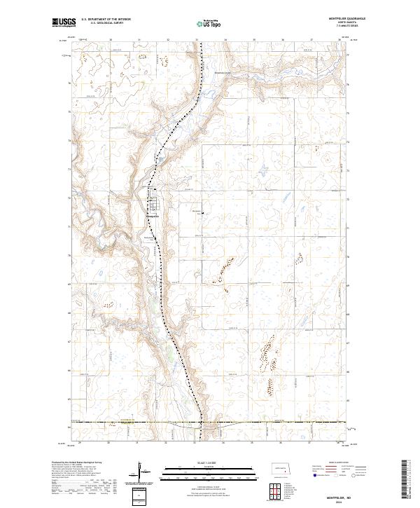 2024 Montpelier2024 Print · USGSThe community of Montpelier and the winding James River valley are shown here in recent detail. Researchers can trace local genealogy at Saint Huberts Cem and Presbyterian Cem or follow the paths of Beaver Creek and Streaman Coulee.
Showing maps 1-25 of 28
Top cities near Adrian Township
- Edgeley historical maps
- Ypsilanti historical maps
- Montpelier historical maps
- Sydney historical maps
- Dickey historical maps
- Berlin historical maps
Frequently asked questions
- What are the different types of historical maps available for Adrian Township?
- What is the oldest map of Adrian Township?
- Where can I purchase historical maps of Adrian Township for my home or office?
- Where can I download high-res historical maps of Adrian Township?
- Are there historical topographic maps available for Adrian Township?
- Is there historical aerial imagery available for Adrian Township?
- Where are historical maps of Adrian Township sourced from?