
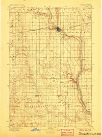
1896 Map of Jamestown
USGS Topo · Published 1896About this map
Jamestown stands as the central hub of this late 19th-century landscape, situated at the confluence of the James River and Pipestem Creek. The arrival of the Northern Pacific railroad is the primary engine of development here, with its Main Line and various sidings connecting early prairie settlements like Eldridge and Bloom. This survey captures the region as it transitions from open plains into a surveyed grid of townships such as Albion and Homer.
Find a feature on this map
31 named features on this map. Tap any name to fly to it.
Don’t see what you’re looking for? This feature index may not catch every label — zoom into the map to look around manually.
Map Details
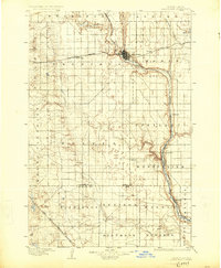
Editions of this 1896 Jamestown Map
3 editions found
Other maps of this area

1894 · La Moure
USGS Topo · 1:62,500

1895 · Lamoure
USGS Topo · 1:125,000

1896 · Edgeley
USGS Topo · 1:125,000

1897 · Eckelson
USGS Topo · 1:125,000

1900 · Pingree
USGS Topo · 1:125,000

1900 · Pingree
USGS Topo · 1:62,500

1918 · La Moure
USGS Topo · 1:125,000

1925 · Edgeley
USGS Topo · 1:125,000

1950 · Buchanan
USGS Topo · 1:24,000

1950 · Fried
USGS Topo · 1:24,000