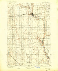
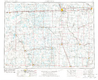
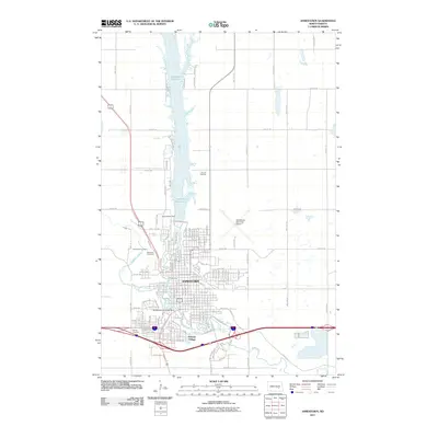
1896 Map of Jamestown
USGS Topo · Published 1925About this map
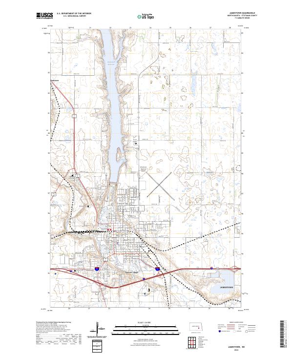
Jamestown serves as the central hub of this late 19th-century prairie landscape, situated at the confluence of the James River and Pipestem Creek. The settlement pattern follows the early expansion of the Northern Pacific (Main Line), which cuts westward through Eldridge and Bloom. To the south, the Fargo and Southwestern Branch connects the smaller outposts of Alfred and Jud, reflecting the critical role of rail infrastructure in the territorial development of Stutsman and La Moure counties.
Find a feature on this map
34 named features on this map. Tap any name to fly to it.
Don’t see what you’re looking for? This feature index may not catch every label — zoom into the map to look around manually.
Map Details
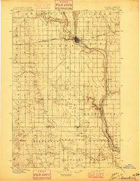
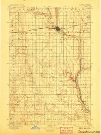
Editions of this 1896 Jamestown Map
3 editions found
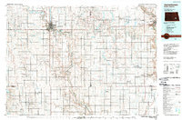
Historical Maps of Jamestown Through Time
12 maps found
1896 Jamestown
Stutsman County, ND
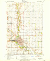
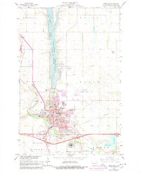
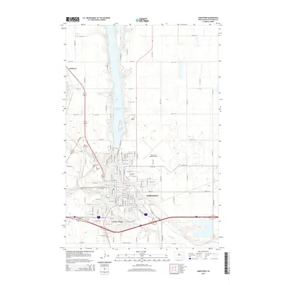
1951 Jamestown
Stutsman County, ND
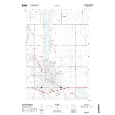
1953 Jamestown
Stutsman County, ND

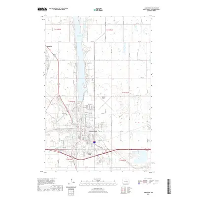
1956 Jamestown
Stutsman County, ND
1966 Jamestown
Stutsman County, ND
1986 Jamestown
Stutsman County, ND
1990 Jamestown
Stutsman County, ND
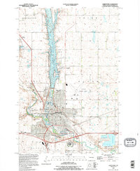
2011 Jamestown
Stutsman County, ND
2014 Jamestown
Stutsman County, ND
2018 Jamestown
Stutsman County, ND
2020 Jamestown
Stutsman County, ND
2024 Jamestown
Stutsman County, ND