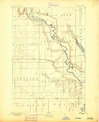
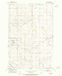
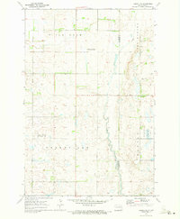
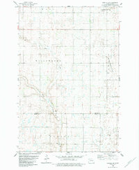
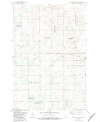
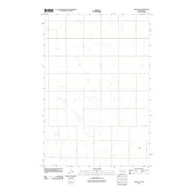
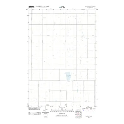
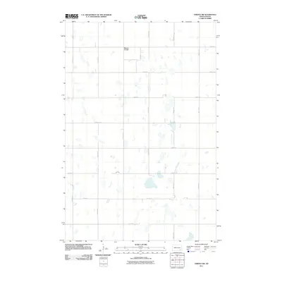
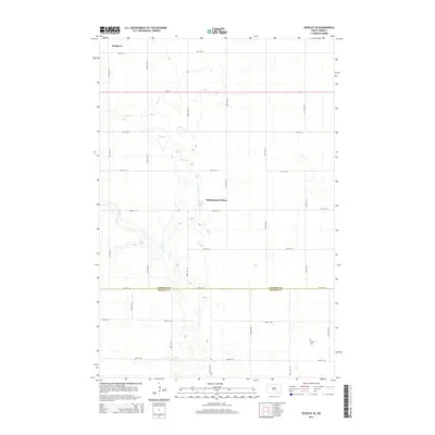
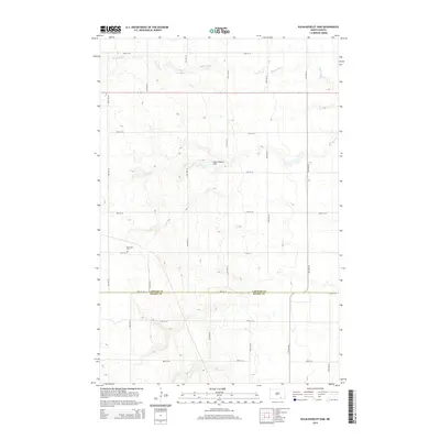
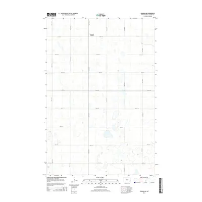
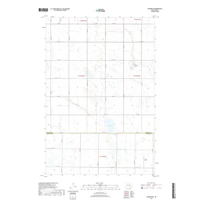
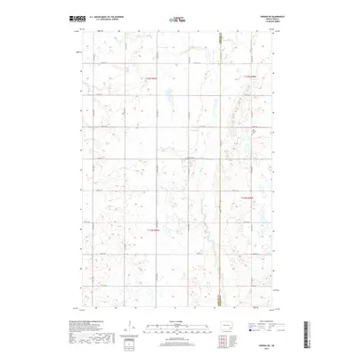
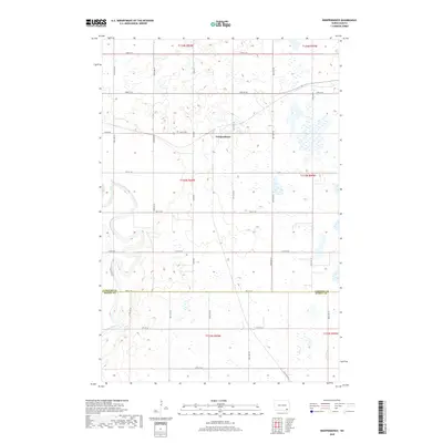
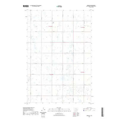
1894 Map of La Moure
USGS Topo · Published 1894About this map
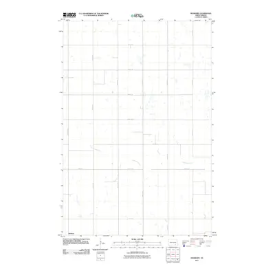
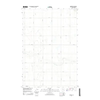
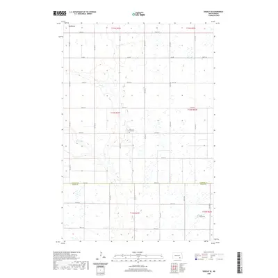
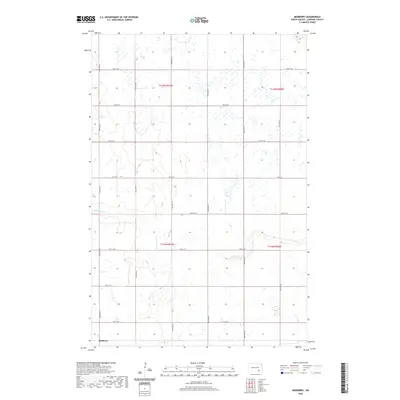
The James River snakes southward through the center of this 1893 survey, serving as the primary corridor for early settlement and infrastructure in southeastern North Dakota. At the junction of two critical rail lines sits the town of Lamoure, where the Northern Pacific RR Fargo and Southwestern Br meets the Northern Pacific RR James River Valley Br. This transportation hub reflects the rapid agricultural expansion of the late nineteenth century, as the iron horse connected prairie outposts like Berlin and Grand Rapids to larger regional markets.
Find a feature on this map
19 named features on this map. Tap any name to fly to it.
Don’t see what you’re looking for? This feature index may not catch every label — zoom into the map to look around manually.
Map Details
Editions of this 1894 La Moure Map
This is the sole edition of this map. No revisions or reprints were ever made.
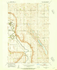
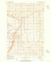
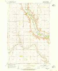
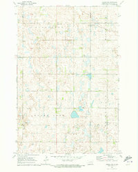
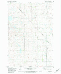
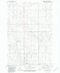
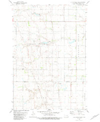
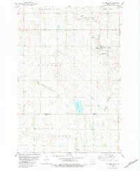
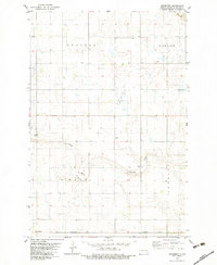
Historical Maps of LaMoure Through Time
97 maps found
1894 La Moure
LaMoure County, ND
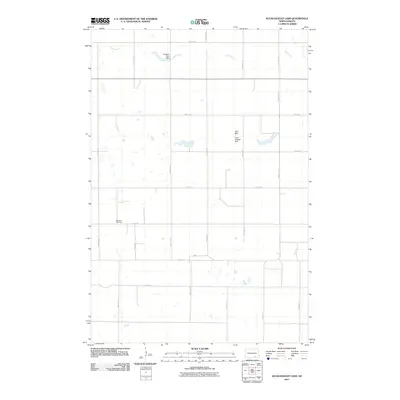
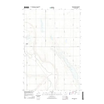
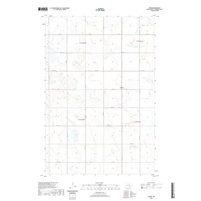
1952 Grand Rapids
LaMoure County, ND
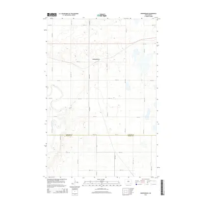
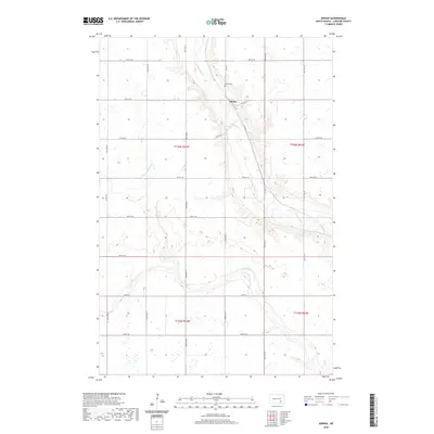
1952 Independence
LaMoure County, ND
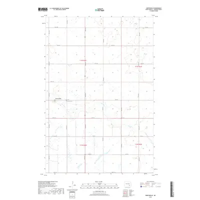
1953 Adrian
LaMoure County, ND
1953 Jud SE
LaMoure County, ND
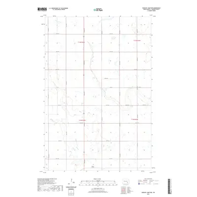
1953 Nortonville
LaMoure County, ND
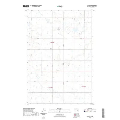
1970 Litchville SE
LaMoure County, ND
1970 Litchville SW
LaMoure County, ND
1970 Verona NE
LaMoure County, ND
1970 Verona NW
LaMoure County, ND
1982 Deisem
LaMoure County, ND
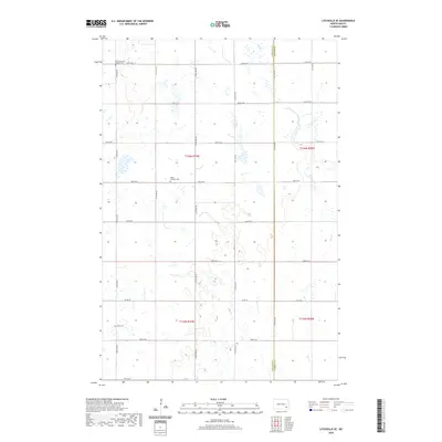
1982 Edgeley Junction
LaMoure County, ND
1982 Edgeley SE
LaMoure County, ND
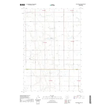
1982 Kulm-Edgeley Dam
LaMoure County, ND
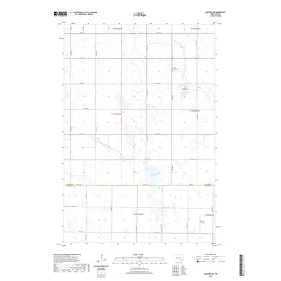
1982 La Moure SW
LaMoure County, ND
1982 Medberry
LaMoure County, ND
1982 Schlecht-Weixel Dam
LaMoure County, ND
2011 Adrian
LaMoure County, ND
2011 Deisem
LaMoure County, ND
2011 Edgeley Junction
LaMoure County, ND
2011 Edgeley SE
LaMoure County, ND
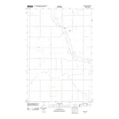
2011 Grand Rapids
LaMoure County, ND
2011 Independence
LaMoure County, ND
2011 Jud SE
LaMoure County, ND
2011 Kulm-Edgeley Dam
LaMoure County, ND
2011 LaMoure SW
LaMoure County, ND
2011 Litchville SE
LaMoure County, ND
2011 Litchville SW
LaMoure County, ND
2011 Medberry
LaMoure County, ND
2011 Nortonville
LaMoure County, ND
2011 Schlecht-Weixel Dam
LaMoure County, ND
2011 Verona NE
LaMoure County, ND
2011 Verona NW
LaMoure County, ND
2014 Adrian
LaMoure County, ND
2014 Deisem
LaMoure County, ND
2014 Edgeley Junction
LaMoure County, ND
2014 Edgeley SE
LaMoure County, ND
2014 Grand Rapids
LaMoure County, ND
2014 Independence
LaMoure County, ND
2014 Jud SE
LaMoure County, ND
2014 Kulm-Edgeley Dam
LaMoure County, ND
2014 LaMoure SW
LaMoure County, ND
2014 Litchville SE
LaMoure County, ND
2014 Litchville SW
LaMoure County, ND
2014 Medberry
LaMoure County, ND
2014 Nortonville
LaMoure County, ND
2014 Schlecht-Weixel Dam
LaMoure County, ND
2014 Verona NE
LaMoure County, ND
2014 Verona NW
LaMoure County, ND
2017 Edgeley Junction
LaMoure County, ND
2017 Edgeley SE
LaMoure County, ND
2017 Grand Rapids
LaMoure County, ND
2017 LaMoure SW
LaMoure County, ND
2017 Litchville SW
LaMoure County, ND
2017 Medberry
LaMoure County, ND
2017 Schlecht-Weixel Dam
LaMoure County, ND
2017 Verona NE
LaMoure County, ND
2017 Verona NW
LaMoure County, ND
2018 Adrian
LaMoure County, ND
2018 Deisem
LaMoure County, ND
2018 Independence
LaMoure County, ND
2018 Jud SE
LaMoure County, ND
2018 Kulm-Edgeley Dam
LaMoure County, ND
2018 Litchville SE
LaMoure County, ND
2018 Nortonville
LaMoure County, ND
2020 Adrian
LaMoure County, ND
2020 Deisem
LaMoure County, ND
2020 Edgeley Junction
LaMoure County, ND
2020 Edgeley SE
LaMoure County, ND
2020 Grand Rapids
LaMoure County, ND
2020 Independence
LaMoure County, ND
2020 Jud SE
LaMoure County, ND
2020 Kulm-Edgeley Dam
LaMoure County, ND
2020 LaMoure SW
LaMoure County, ND
2020 Litchville SE
LaMoure County, ND
2020 Litchville SW
LaMoure County, ND
2020 Medberry
LaMoure County, ND
2020 Nortonville
LaMoure County, ND
2020 Schlecht-Weixel Dam
LaMoure County, ND
2020 Verona NE
LaMoure County, ND
2020 Verona NW
LaMoure County, ND
2024 Adrian
LaMoure County, ND
2024 Deisem
LaMoure County, ND
2024 Edgeley Junction
LaMoure County, ND

2024 Edgeley SE
LaMoure County, ND
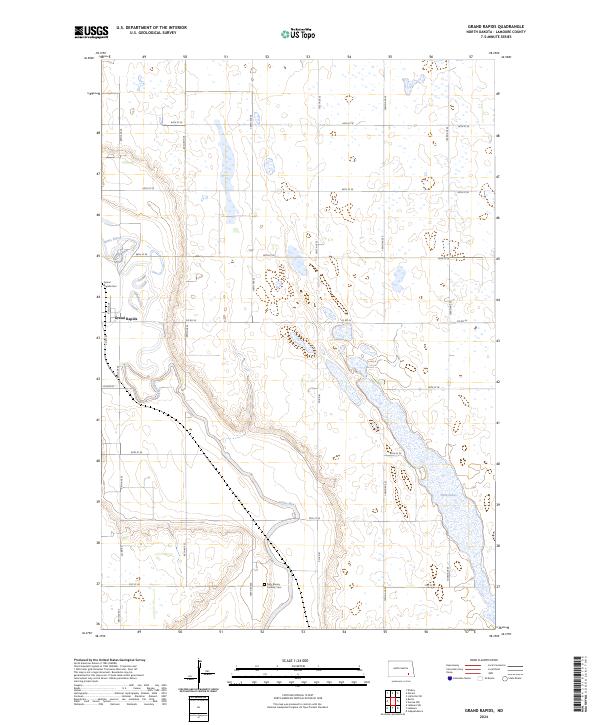
2024 Grand Rapids
LaMoure County, ND
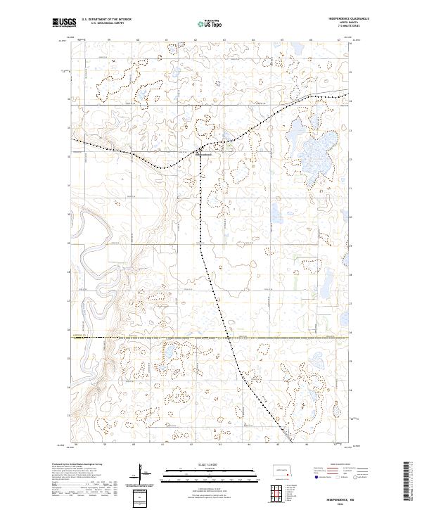
2024 Independence
LaMoure County, ND
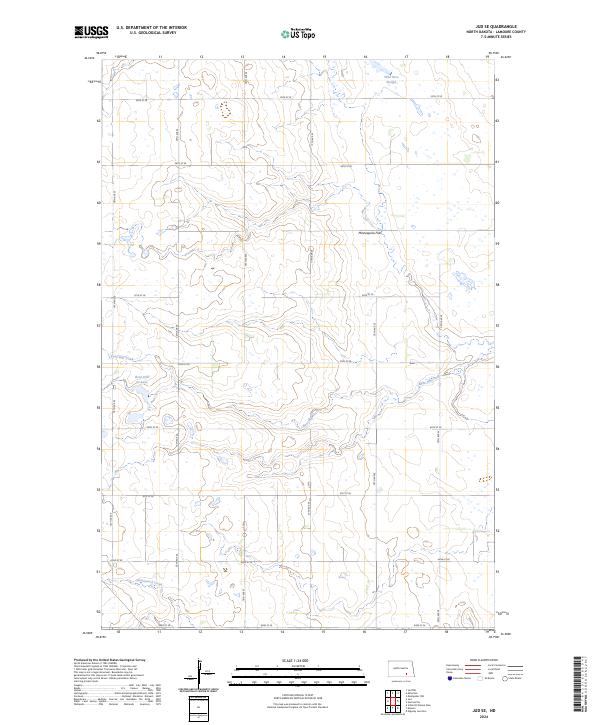
2024 Jud SE
LaMoure County, ND
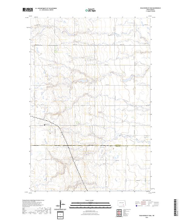
2024 Kulm-Edgeley Dam
LaMoure County, ND
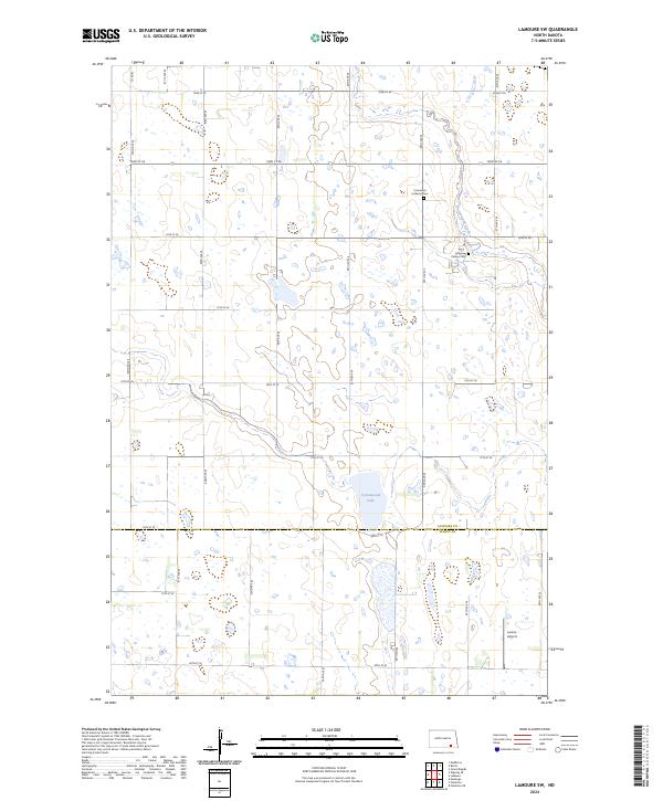
2024 LaMoure SW
LaMoure County, ND
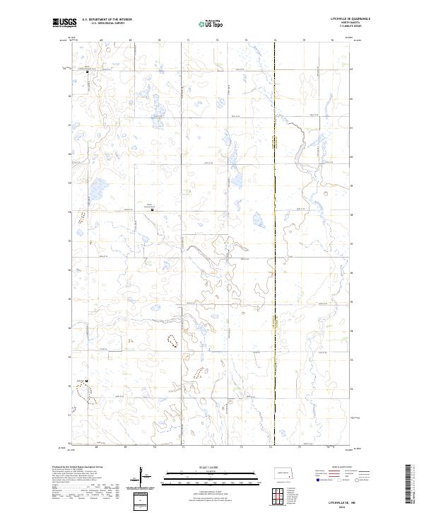
2024 Litchville SE
LaMoure County, ND
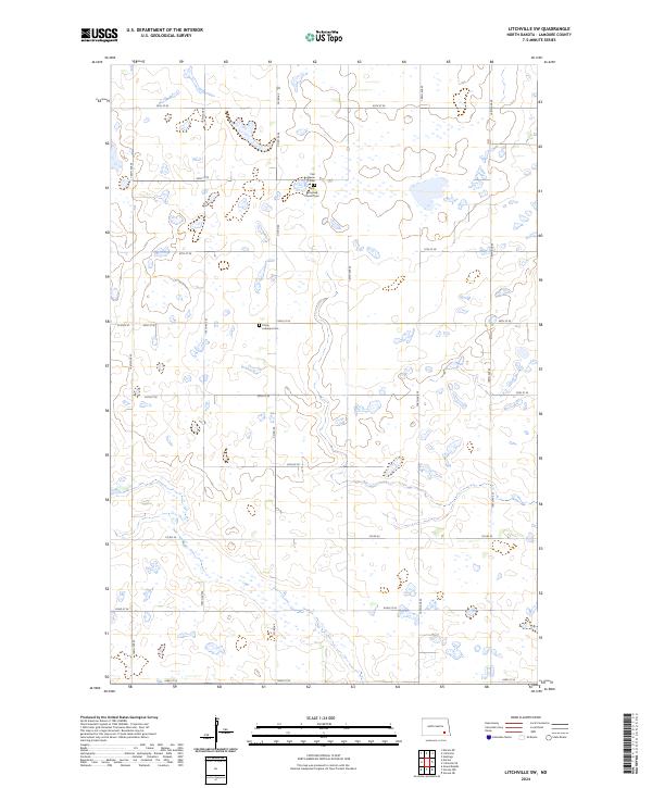
2024 Litchville SW
LaMoure County, ND
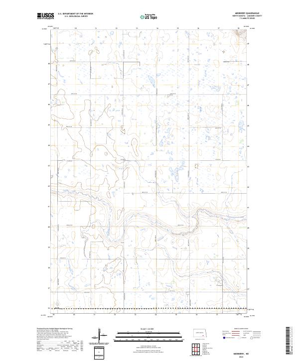
2024 Medberry
LaMoure County, ND
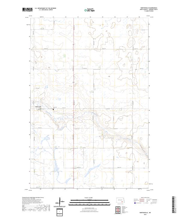
2024 Nortonville
LaMoure County, ND
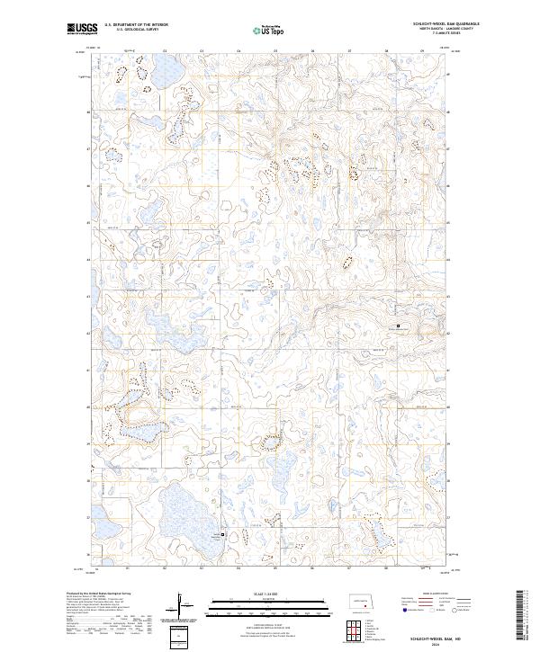
2024 Schlecht-Weixel Dam
LaMoure County, ND
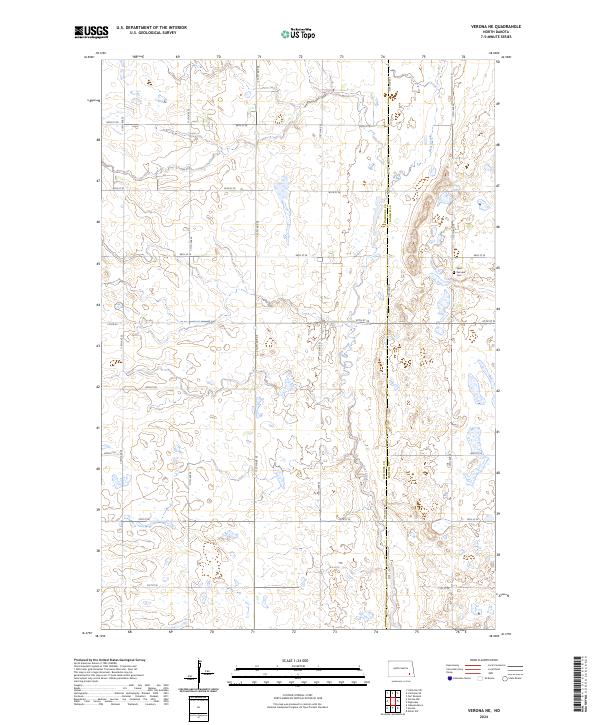
2024 Verona NE
LaMoure County, ND
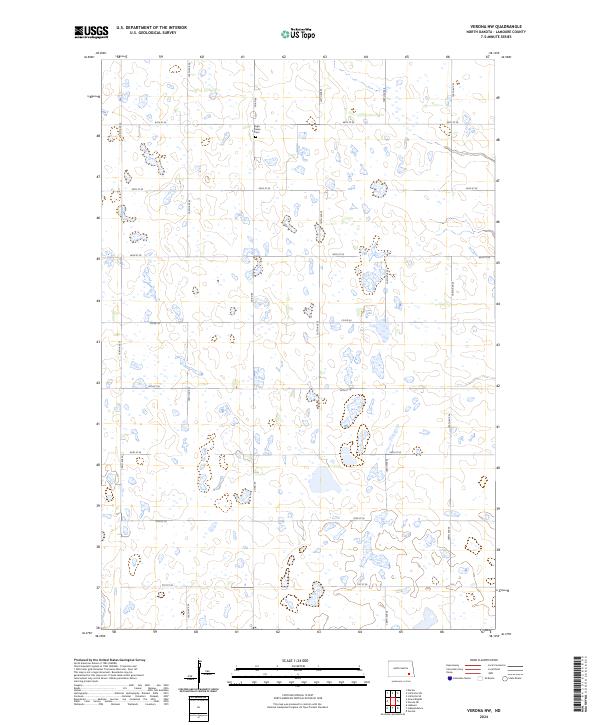
2024 Verona NW
LaMoure County, ND