2020s Maps of Ryan Township, North Dakota
Explore 4 historic maps of Ryan Township from the 2020s. These maps offer a rare glimpse into what life looked like during the 2020s — showing old roads, neighborhoods, homes, and landmarks that have changed or disappeared over time.
Whether you're researching your family's past, planning a metal detecting trip, or studying how Ryan Township's landscape evolved across the 2020s, these high-resolution maps are a powerful tool for exploring the history of this region.
- Focus on a specific era: All maps on this page are from the 2020s, giving you a focused view of this time period.
- See what’s changed: Compare century-old streets, trails, and buildings to today's modern landscape using overlays and satellite layers.
- Research with precision: Use these maps for genealogy, historical research, land use analysis, or educational projects.
- View, download, or print: Maps are fully viewable online in high resolution, and can be downloaded or printed for your own records.
Start exploring Ryan Township's history through authentic maps from the 2020s. This is your window into the past.
Ryan Township, ND maps
(4)- 2020 Map of LaMoure, 2020 Print
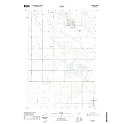 2020 LaMoure2020 Print · USGSCovers Ryan Township, including LaMoure, Wright Township, and other nearby areas
 - 2020 Map of Independence, 2020 Print
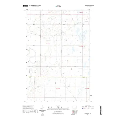 2020 Independence2020 Print · USGSCovers Ryan Township, including Independence, James River Valley Township, and other nearby areas
 - 2024 Map of Independence, 2024 Print
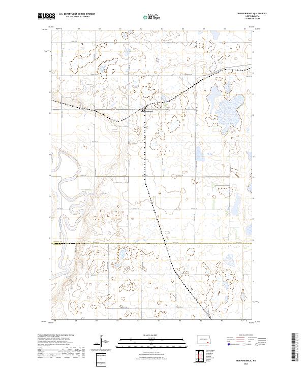 2024 Independence2024 Print · USGSLaMoure County's prairie landscape is captured here in the early twenty-first century, showing the rural community of Independence and the surrounding wetlands. Genealogists and researchers can trace the winding James River and numerous parcels of the LaMoure County Waterfowl Production Area.
 - 2024 Map of LaMoure, 2024 Print
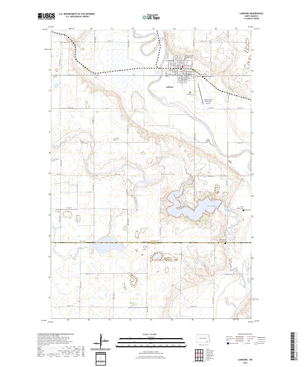 2024 LaMoure2024 Print · USGSThe James River valley and the county seat of LaMoure are captured here in the early twenty-first century. Researchers can locate family sites at Rosehill Cem or trace the shoreline of Lake LaMoure and Nevermore Lake as they sit today.
End of results
Showing maps 1-4 of 4
Top cities near Ryan Township
- Oakes historical maps
- LaMoure historical maps
- Clement Township historical maps
- Verona historical maps
- Grand Rapids historical maps
- Fullerton historical maps
Top neighborhoods of Ryan Township
Frequently asked questions
- What are the different types of historical maps available for Ryan Township?
- What is the oldest map of Ryan Township?
- Where can I purchase historical maps of Ryan Township for my home or office?
- Where can I download high-res historical maps of Ryan Township?
- Are there historical topographic maps available for Ryan Township?
- Is there historical aerial imagery available for Ryan Township?
- Where are historical maps of Ryan Township sourced from?