Old Maps of Bryant Township, North Dakota for Genealogy
Trace your family roots with 28 historic maps of Bryant Township. These high-res maps reveal old neighborhoods, homesites, landmarks, and streets — helping you uncover where your ancestors lived and how the area evolved over time.
- Explore historic neighborhoods: Identify where your relatives may have lived in the 1800s or 1900s.
- Compare maps over time: Trace the changes in streets, buildings, and landmarks for multi-generational research.
- Perfect for genealogy & ancestry research: Used by family historians and researchers to map out lineage and migration.
These maps are an incredible resource for exploring your personal connection to Bryant Township's past.
Bryant Township, ND maps
(28)- 1953 Map of Jamestown
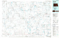
 1953 Jamestown1953 Print · USGSSoutheastern North Dakota was a thriving rail and agricultural corridor in the early fifties, anchored by the James River. Researchers can trace the footprints of institutional landmarks like the North Dakota State Hospital and historic sites such as Whitestone Hill Battlefield Park.3 unique versions available
 - 1956 Map of Jamestown
 1956 Jamestown1956 Print · USGSThe James River valley and the vast alkali lake country of south-central North Dakota are captured here in the mid-fifties. Genealogists can trace family farms across several counties, locating small rail stops like Medberry and monuments like Whitestone Hill Battlefield Park.
 - 1979 Map of McKenna Lake South, 1980 Print
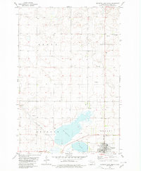
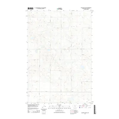
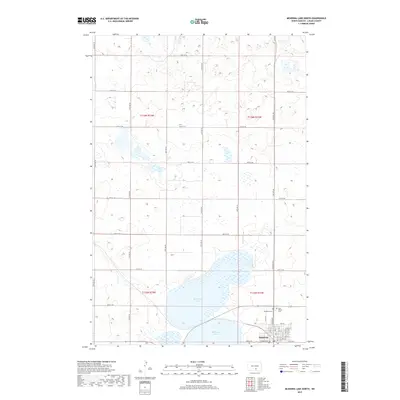
 1979 McKenna Lake South1980 Print · USGSLogan County’s glacial prairie and farmsteads are detailed in this late-seventies survey of the area south of Napoleon. Genealogists and local historians can trace family land in Kroeber or Starkey, and locate landmarks like St Boniface Ch.
 - 1980 Map of McKenna Lake North
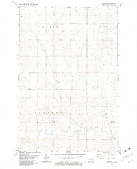
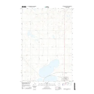
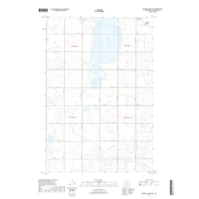
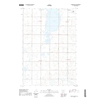
 1980 McKenna Lake North1980 Print · USGSThe Logan County prairie around the turn of the 1980s reveals a landscape defined by the Soo Line railroad and local townships. Researchers can locate St Philips Cem, the settlement of Napoleon, and rural landmarks like Mc Kenna Lake.
 - 1982 Map of Burnstad, 1983 Print
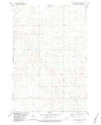
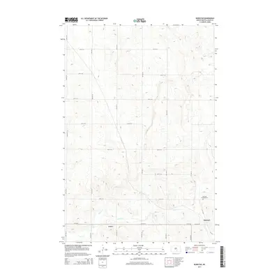
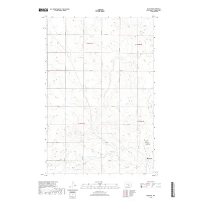
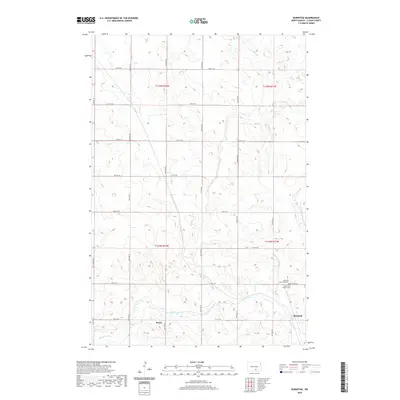
 1982 Burnstad1983 Print · USGSLogan County prairie life in the early eighties centers on the rail-side settlement of Burnstad. Researchers can trace local lineage at the Red Lake Community Cem or locate the site of St Clares Ch along the Soo Line tracks.
 - 1983 Map of Alkaline Lake SW
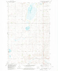
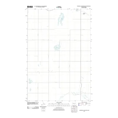
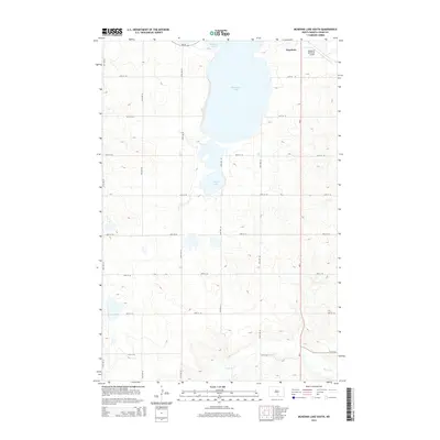
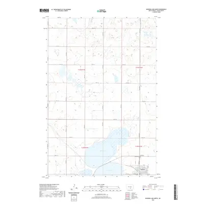
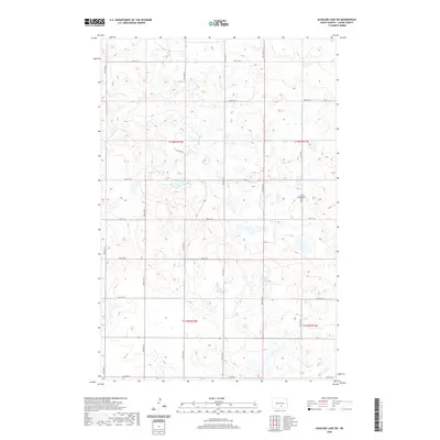
 1983 Alkaline Lake SW1983 Print · USGSNorth Dakota's prairie pothole region is documented here in the early eighties, showing the agrarian townships of Glendale and Bryant. Researchers can trace the section-line roads and local landmarks like Salem Cem and the Glendale Townhall.
 - 1985 Map of Steele, 1994 Print
 1985 Steele1994 Print · USGSCentral North Dakota’s prairie pothole region is showcased here in the mid-1980s, revealing a landscape of vital wetlands and rail-dependent towns. Researchers can trace family ties and land use near Steele, Napoleon, and the many waterfowl production areas like Slade National Wildlife Refuge.
 - 1986 Map of Wishek
 1986 Wishek1986 Print · USGSMcIntosh and Logan counties are depicted here in the mid-1980s, a period defined by small-town rail commerce and extensive prairie conservation. Genealogists and researchers can trace the rail corridors of the Soo Line and Burlington Northern through centers like Wishek, Ashley, and Fredonia.2 unique versions available
 - 2011 Map of Alkaline Lake SW, 2011 Print
 2011 Alkaline Lake SW2011 Print · USGSCovers Bryant Township, including Glendale Township, Dixon Township, and other nearby areas
 - 2011 Map of Burnstad, 2011 Print
 2011 Burnstad2011 Print · USGSCovers Bryant Township, including Burnstad, Dixon Township, and other nearby areas
 - 2011 Map of McKenna Lake North, 2011 Print
 2011 McKenna Lake North2011 Print · USGSCovers Bryant Township, including Napoleon, Glendale Township, and other nearby areas
 - 2011 Map of McKenna Lake South, 2011 Print
 2011 McKenna Lake South2011 Print · USGSCovers Bryant Township, including Napoleon, Starkey Township, and other nearby areas
 - 2014 Map of McKenna Lake North, 2014 Print
 2014 McKenna Lake North2014 Print · USGSCovers Bryant Township, including Napoleon, Glendale Township, and other nearby areas
 - 2014 Map of Alkaline Lake SW, 2014 Print
 2014 Alkaline Lake SW2014 Print · USGSCovers Bryant Township, including Glendale Township, Dixon Township, and other nearby areas
 - 2014 Map of Burnstad, 2014 Print
 2014 Burnstad2014 Print · USGSCovers Bryant Township, including Burnstad, Dixon Township, and other nearby areas
 - 2014 Map of McKenna Lake South, 2014 Print
 2014 McKenna Lake South2014 Print · USGSCovers Bryant Township, including Napoleon, Starkey Township, and other nearby areas
 - 2017 Map of Alkaline Lake SW, 2017 Print
 2017 Alkaline Lake SW2017 Print · USGSCovers Bryant Township, including Glendale Township, Dixon Township, and other nearby areas
 - 2017 Map of McKenna Lake South, 2017 Print
 2017 McKenna Lake South2017 Print · USGSCovers Bryant Township, including Napoleon, Starkey Township, and other nearby areas
 - 2017 Map of McKenna Lake North, 2017 Print
 2017 McKenna Lake North2017 Print · USGSCovers Bryant Township, including Napoleon, Glendale Township, and other nearby areas
 - 2018 Map of Burnstad, 2018 Print
 2018 Burnstad2018 Print · USGSCovers Bryant Township, including Burnstad, Dixon Township, and other nearby areas
 - 2020 Map of McKenna Lake North, 2020 Print
 2020 McKenna Lake North2020 Print · USGSCovers Bryant Township, including Napoleon, Glendale Township, and other nearby areas
 - 2020 Map of McKenna Lake South, 2020 Print
 2020 McKenna Lake South2020 Print · USGSCovers Bryant Township, including Napoleon, Starkey Township, and other nearby areas
 - 2020 Map of Burnstad, 2020 Print
 2020 Burnstad2020 Print · USGSCovers Bryant Township, including Burnstad, Dixon Township, and other nearby areas
 - 2020 Map of Alkaline Lake SW, 2020 Print
 2020 Alkaline Lake SW2020 Print · USGSCovers Bryant Township, including Glendale Township, Dixon Township, and other nearby areas
 - 2024 Map of Alkaline Lake SW, 2024 Print
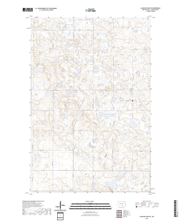 2024 Alkaline Lake SW2024 Print · USGSLogan County’s rural prairie landscape is documented here in the early twenty-first century, showcasing the region's characteristic wetland pockets and section-line roads. Genealogists can locate the Salem Congregation Cem while researchers trace routes like Lake Ave E and 35th Ave SE.
Showing maps 1-25 of 28
Top cities near Bryant Township
Frequently asked questions
- What are the different types of historical maps available for Bryant Township?
- What is the oldest map of Bryant Township?
- Where can I purchase historical maps of Bryant Township for my home or office?
- Where can I download high-res historical maps of Bryant Township?
- Are there historical topographic maps available for Bryant Township?
- Is there historical aerial imagery available for Bryant Township?
- Where are historical maps of Bryant Township sourced from?