Old Maps of Silva, North Dakota for Genealogy
Trace your family roots with 9 historic maps of Silva. These high-res maps reveal old neighborhoods, homesites, landmarks, and streets — helping you uncover where your ancestors lived and how the area evolved over time.
- Explore historic neighborhoods: Identify where your relatives may have lived in the 1800s or 1900s.
- Compare maps over time: Trace the changes in streets, buildings, and landmarks for multi-generational research.
- Perfect for genealogy & ancestry research: Used by family historians and researchers to map out lineage and migration.
These maps are an incredible resource for exploring your personal connection to Silva's past.
Silva, ND maps
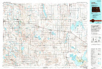
(9)- 1953 Map of Devils Lake, 1968 Print
 1953 Devils Lake1968 Print · USGSNorth Dakota's northern plains are captured here in the mid-fifties, showing a landscape of rail-fed grain elevators and prairie wetlands. Genealogists can locate family landmarks like Rose Hill School, Hurricane Lake Church, and the Turtle Mountain Indian Reservation.3 unique versions available
 - 1956 Map of Devils Lake
 1956 Devils Lake1956 Print · USGSNorthern North Dakota is shown at a mid-century peak of rail-driven agriculture, where the Soo Line and Great Northern railroads cross the prairie. Trace the borders of the Turtle Mountain Indian Reservation and locate local landmarks like Rose Hill School or Camp Grafton.
 - 1958 Map of Silva, 1959 Print
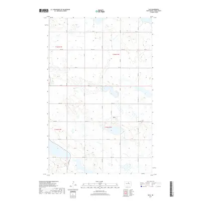
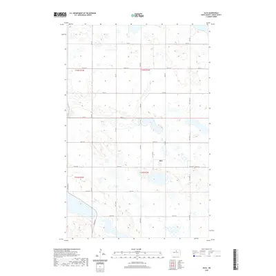
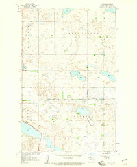 1958 Silva1959 Print · USGSPierce County prairie life in the late fifties centers on the small rail stop of Silva. Researchers can trace the Minneapolis St Paul and Sault Ste Marie line and find local landmarks like Trinity Cem and Reno Valley.
 - 1985 Map of Leeds, 1994 Print
 1985 Leeds1994 Print · USGSBenson and Ramsey counties are shown during the mid-eighties as a patchwork of prairie agriculture and vital wetland habitats. Researchers can locate family roots at Knox Cem, trace the Soo Line rail corridors, or explore the fringes of Devils Lake.
 - 2011 Map of Silva, 2011 Print
 2011 Silva2011 Print · USGSCovers Silva, including Pierce County, United States, and other nearby areas
 - 2014 Map of Silva, 2014 Print
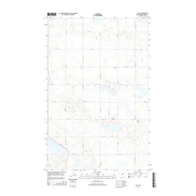 2014 Silva2014 Print · USGSCovers Silva, including Pierce County, United States, and other nearby areas
 - 2017 Map of Silva, 2017 Print
 2017 Silva2017 Print · USGSCovers Silva, including Pierce County, United States, and other nearby areas
 - 2020 Map of Silva, 2020 Print
 2020 Silva2020 Print · USGSCovers Silva, including Pierce County, United States, and other nearby areas
 - 2024 Map of Silva, 2024 Print
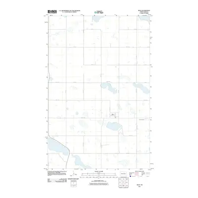
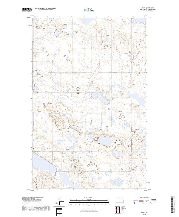 2024 Silva2024 Print · USGSThe small community of Silva sits at the heart of this North Dakota prairie landscape during the mid-2020s. Genealogists and local historians can locate Trinity Cem and trace the extensive boundaries of the Pierce County Waterfowl Production Area.
End of results
Showing maps 1-9 of 9
Top cities near Silva
- Rugby historical maps
- Esmond historical maps
- Pleasant Lake historical maps
- Balta historical maps
- Knox historical maps
Frequently asked questions
- What are the different types of historical maps available for Silva?
- What is the oldest map of Silva?
- Where can I purchase historical maps of Silva for my home or office?
- Where can I download high-res historical maps of Silva?
- Are there historical topographic maps available for Silva?
- Is there historical aerial imagery available for Silva?
- Where are historical maps of Silva sourced from?