2000s (21st Century) Maps of Enderlin, North Dakota
Explore 10 historic maps of Enderlin from the 2000s (21st Century). These maps offer a rare glimpse into what life looked like during the 2000s — showing old roads, neighborhoods, homes, and landmarks that have changed or disappeared over time.
Whether you're researching your family's past, planning a metal detecting trip, or studying how Enderlin's landscape evolved across the 2000s, these high-resolution maps are a powerful tool for exploring the history of this region.
- Focus on a specific era: All maps on this page are from the 2000s, giving you a focused view of this time period.
- See what’s changed: Compare century-old streets, trails, and buildings to today's modern landscape using overlays and satellite layers.
- Research with precision: Use these maps for genealogy, historical research, land use analysis, or educational projects.
- View, download, or print: Maps are fully viewable online in high resolution, and can be downloaded or printed for your own records.
Start exploring Enderlin's history through authentic maps from the 2000s. This is your window into the past.
Enderlin, ND maps
(10)- 2011 Map of Enderlin South, 2011 Print
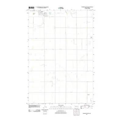 2011 Enderlin South2011 Print · USGSCovers Enderlin, including Liberty Township, Casey Township, and other nearby areas
 - 2011 Map of Enderlin North, 2011 Print
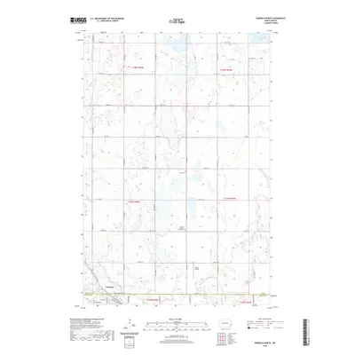
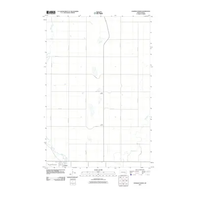 2011 Enderlin North2011 Print · USGSCovers Enderlin, including Pontiac Township, Eldred Township, and other nearby areas
 - 2014 Map of Enderlin South, 2014 Print
 2014 Enderlin South2014 Print · USGSCovers Enderlin, including Liberty Township, Casey Township, and other nearby areas
 - 2014 Map of Enderlin North, 2014 Print
 2014 Enderlin North2014 Print · USGSCovers Enderlin, including Pontiac Township, Eldred Township, and other nearby areas
 - 2017 Map of Enderlin South, 2017 Print
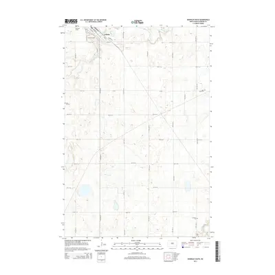
 2017 Enderlin South2017 Print · USGSCovers Enderlin, including Liberty Township, Casey Township, and other nearby areas
 - 2018 Map of Enderlin North, 2018 Print
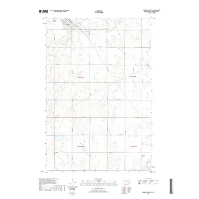
 2018 Enderlin North2018 Print · USGSCovers Enderlin, including Pontiac Township, Eldred Township, and other nearby areas
 - 2020 Map of Enderlin South, 2020 Print
 2020 Enderlin South2020 Print · USGSCovers Enderlin, including Liberty Township, Casey Township, and other nearby areas
 - 2020 Map of Enderlin North, 2020 Print
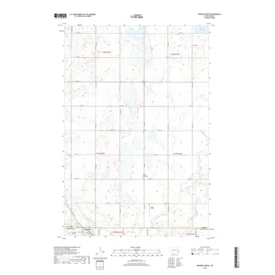
 2020 Enderlin North2020 Print · USGSCovers Enderlin, including Pontiac Township, Eldred Township, and other nearby areas
 - 2024 Map of Enderlin North, 2024 Print
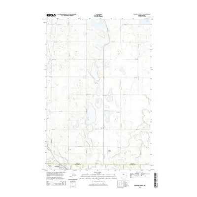
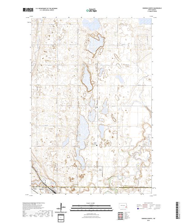 2024 Enderlin North2024 Print · USGSThe Cass County plains and the Maple River valley are shown here in modern detail, illustrating a landscape defined by agriculture and conservation. Genealogists can locate Salem Cem and Pontiac Lutheran Trinity Cem near the city of Enderlin.
 - 2024 Map of Enderlin South, 2024 Print
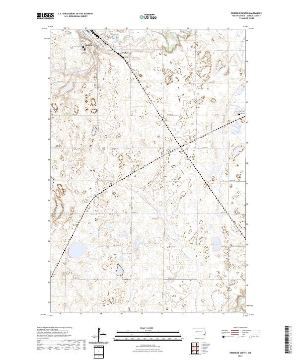 2024 Enderlin South2024 Print · USGSIn this modern look at southeastern North Dakota, the city of Enderlin anchors a landscape defined by the Maple River and the Soo St railroad. Researchers can locate family heritage sites at the Sheldon City Cem and Evangelical Cem or trace the RCWPA conservation boundaries.
End of results
Showing maps 1-10 of 10
Top cities near Enderlin
- Lisbon historical maps
- Sheldon historical maps
- Fingal historical maps
- Nome historical maps
- Coburn Township historical maps
- Alice historical maps
See more
Frequently asked questions
- What are the different types of historical maps available for Enderlin?
- What is the oldest map of Enderlin?
- Where can I purchase historical maps of Enderlin for my home or office?
- Where can I download high-res historical maps of Enderlin?
- Are there historical topographic maps available for Enderlin?
- Is there historical aerial imagery available for Enderlin?
- Where are historical maps of Enderlin sourced from?