Old Maps of Shenford Township, North Dakota for Metal Detecting
Plan your next treasure hunt with 35 historic maps of Shenford Township. Find old homesites, ghost towns, trails, and gathering spots that may be lost to time — perfect for identifying promising metal detecting locations.
- Locate forgotten sites: Uncover places like long-lost settlements, abandoned rail lines, or gathering spots.
- Plan better hunts: Use map overlays combined with LiDAR or satellite views to narrow in on historically rich areas.
- Made for detectorists: Thousands of hobbyists use these maps to discover relics, coins, and hidden history.
Use these historic maps to boost your research and find new opportunities beneath the surface of Shenford Township.
Shenford Township, ND maps
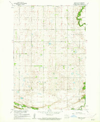
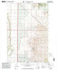
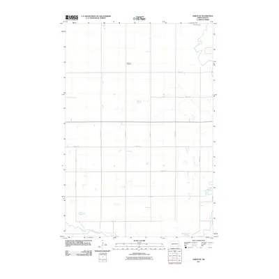
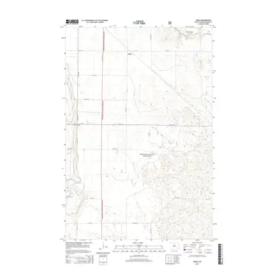
(35)- 1895 Map of Casselton, 1961 Print
 1895 Casselton1961 Print · USGSNorth Dakota's Red River Valley rail network is in full bloom in the 1890s, with towns emerging at every major junction. Trace early post offices and depots at Chaffee P.O., Embden, and Ripon along the Northern Pacific R. R.
 - 1897 Map of Tower
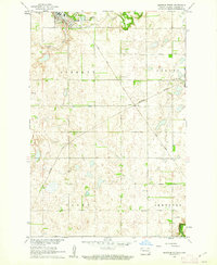
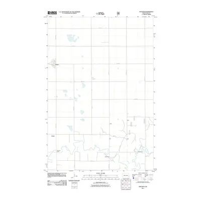
 1897 Tower1897 Print · USGSIn the late nineteenth century, the expansion of the northern plains centered on the intersection of the Sheyenne River and the arriving railroads. Genealogists and historians can trace early township plats and rail-stop settlements like Valley City, Fingal, and Enderlin.3 unique versions available
 - 1897 Map of Casselton
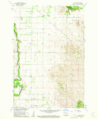
 1897 Casselton1897 Print · USGSCass County’s agricultural heartland is captured here in the 1890s, when new rail lines were defining the North Dakota prairie. Genealogists can trace family locations near early hubs like Casselton, the Chaffee P.O. settlement, and the banks of the Maple River.3 unique versions available
 - 1907 Map of Wyndmere
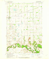
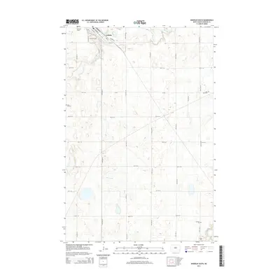
 1907 Wyndmere1907 Print · USGSRichland and Sargent counties are seen here in the early 1900s during the height of the prairie railroad boom. Genealogists and historians can trace the paths of five different rail lines serving early towns like Milnor, Wyndmere, and Sandoun Mc Leod P O.2 unique versions available
 - 1953 Map of Fargo, 1965 Print
 1953 Fargo1965 Print · USGSThe Red River Valley in the mid-fifties was a bustling rail and agricultural corridor during a period of steady prairie growth. Genealogists and historians can trace the intricate rail networks of the Great Northern and Soo Line connecting local hubs like Casselton and Wahpeton.2 unique versions available
 - 1956 Map of Fargo
 1956 Fargo1956 Print · USGSThe Red River Valley's agricultural heartland is documented here in the mid-fifties as the rail-and-road network expanded across the plains. Genealogists can trace family roots through numerous small railroad towns and local landmarks like Casselton, Sheyenne Valley Church, and Sisseton Indian Res.
 - 1960 Map of Lisbon NE, 1962 Print
 1960 Lisbon NE1962 Print · USGSRansom County farmland is captured here in the early sixties as the Missouri River Basin development program was underway. Genealogists can locate family-named landmarks and rural centers like St Paul Cem, St Paul Ch, and School No 2.
 - 1960 Map of Enderlin South, 1962 Print
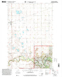
 1960 Enderlin South1962 Print · USGSRansom County's prairie landscape was shaped by the Northern Pacific railroad and the winding Maple River during the early sixties. Researchers can trace family history at numerous rural sites including St Olaf Cem, St Marys Cem, and Trinity Ch.
 - 1960 Map of Venlo, 1962 Print
 1960 Venlo1962 Print · USGSRansom County in the early sixties is captured here as the Soo Line railroad serves the small prairie siding of Venlo. Researchers can trace the winding Sheyenne River to Heaton Bridge or locate several artesian Flowing Wells in the southern townships.
 - 1960 Map of Sheldon, 1962 Print
 1960 Sheldon1962 Print · USGSRansom County in the early sixties shows a landscape of steady prairie farming and river-valley transport. Genealogists and historians can trace the Northern Pacific rail line through Sheldon or locate river crossings like McClellan Bridge and Larson Bridge.
 - 1986 Map of Lisbon
 1986 Lisbon1986 Print · USGSSoutheastern North Dakota's prairie landscape is mapped here in the mid-1980s, showcasing a region defined by its river valleys and rail-fed agricultural towns. Researchers can trace the heritage of communities like Gwinner and Cayuga or locate family markers at Oakwood Cem.2 unique versions available
 - 1986 Map of Casselton
 1986 Casselton1986 Print · USGSEastern North Dakota in the mid-1980s was a landscape defined by the intersection of the Sheyenne River and major rail lines. Researchers can trace the development of agricultural hubs like Enderlin and Casselton or locate the Griswold Mine and Memory Gardens Cem.2 unique versions available
 - 1989 Map of Fargo, 1990 Print
 1989 Fargo1990 Print · USGSThe Red River Valley at the end of the eighties shows a landscape of flourishing university towns and vital rail corridors. Researchers can trace family roots through Riverside Cem, find early campus layouts for North Dakota State University, or follow the Soo Line Railroad through West Fargo.
 - 1998 Map of Venlo, 2000 Print
 1998 Venlo2000 Print · USGSRansom County's prairie landscape is captured here in the late 1990s, where the winding Sheyenne River meets the protected Sheyenne National Grassland. Researchers can trace the settlement of Venlo, find the location of Heaton Bridge, and identify several artesian Flowing Wells.
 - 1998 Map of Sheldon, 2000 Print
 1998 Sheldon2000 Print · USGSSheldon and the surrounding Ransom County prairies are shown at the close of the twentieth century. Genealogists and local historians can trace the road network connecting Sheldon to the Sheyenne River and find landmarks like Legg Bridge and Anselm.
 - 2011 Map of Enderlin South, 2011 Print
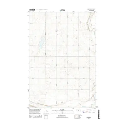
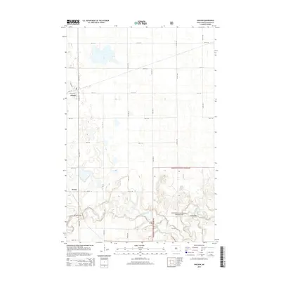
 2011 Enderlin South2011 Print · USGSCovers Shenford Township, including Enderlin, Liberty Township, and other nearby areas
 - 2011 Map of Venlo, 2011 Print
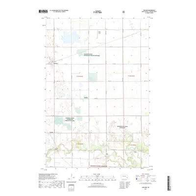
 2011 Venlo2011 Print · USGSCovers Shenford Township, including Venlo, Owego Township, and other nearby areas
 - 2011 Map of Lisbon NE, 2011 Print
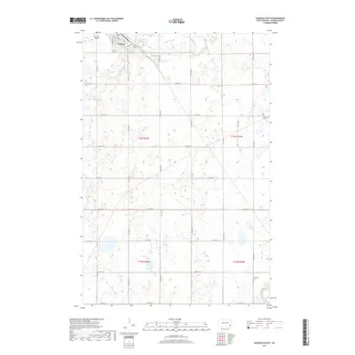
 2011 Lisbon NE2011 Print · USGSCovers Shenford Township, including Casey Township, Big Bend Township, and other nearby areas
 - 2011 Map of Sheldon, 2011 Print
 2011 Sheldon2011 Print · USGSCovers Shenford Township, including Sheldon, Coburn Township, and other nearby areas
 - 2014 Map of Enderlin South, 2014 Print
 2014 Enderlin South2014 Print · USGSCovers Shenford Township, including Enderlin, Liberty Township, and other nearby areas
 - 2014 Map of Lisbon NE, 2014 Print
 2014 Lisbon NE2014 Print · USGSCovers Shenford Township, including Casey Township, Big Bend Township, and other nearby areas
 - 2014 Map of Venlo, 2014 Print
 2014 Venlo2014 Print · USGSCovers Shenford Township, including Venlo, Owego Township, and other nearby areas
 - 2014 Map of Sheldon, 2014 Print
 2014 Sheldon2014 Print · USGSCovers Shenford Township, including Sheldon, Coburn Township, and other nearby areas
 - 2017 Map of Enderlin South, 2017 Print
 2017 Enderlin South2017 Print · USGSCovers Shenford Township, including Enderlin, Liberty Township, and other nearby areas
 - 2017 Map of Sheldon, 2017 Print
 2017 Sheldon2017 Print · USGSCovers Shenford Township, including Sheldon, Coburn Township, and other nearby areas
Showing maps 1-25 of 35
Top cities near Shenford Township
- Lisbon historical maps
- Enderlin historical maps
- Gwinner historical maps
- Milnor historical maps
- Leonard historical maps
- Sheldon historical maps
See more
Top neighborhoods of Shenford Township
Frequently asked questions
- What are the different types of historical maps available for Shenford Township?
- What is the oldest map of Shenford Township?
- Where can I purchase historical maps of Shenford Township for my home or office?
- Where can I download high-res historical maps of Shenford Township?
- Are there historical topographic maps available for Shenford Township?
- Is there historical aerial imagery available for Shenford Township?
- Where are historical maps of Shenford Township sourced from?