Old Maps of Center Township, North Dakota
Explore 41 old maps of Center Township, spanning from 1904 to today. These high-resolution historic maps reveal how streets, neighborhoods, landmarks, and natural features evolved over time — perfect for genealogy, metal detecting, research, and local history exploration.
What you can do with these maps:
- See how Center Township changed over time: Compare historical maps to modern-day views to trace roads, homesites, rail lines & more.
- View detailed metadata: Each map includes creators, publishers, year, scale, and archive source.
- Overlay maps with satellite & LiDAR: Visualize the past alongside modern tools to explore terrain & human change.
- Trusted historical sources: Maps sourced from the USGS, Library of Congress, and other archives.
- Access maps your way: View online, download high-res files, or order prints for personal or research use.
Start exploring old maps of Center Township to uncover forgotten places, hidden landmarks, and the deep history beneath your feet.
Center Township, ND maps
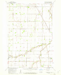
(41)- 1904 Map of Wahpeton
 1904 Wahpeton1904 Print · USGSThe Red River Valley at the start of the century was a landscape of burgeoning rail towns and river commerce along the Minnesota border. Genealogists can trace early homesteads and transport hubs between Wahpeton and Breckenridge, or follow the rail lines through Hankinson and Abercrombie.2 unique versions available
 - 1953 Map of Fargo, 1965 Print
 1953 Fargo1965 Print · USGSThe Red River Valley in the mid-fifties was a bustling rail and agricultural corridor during a period of steady prairie growth. Genealogists and historians can trace the intricate rail networks of the Great Northern and Soo Line connecting local hubs like Casselton and Wahpeton.2 unique versions available
 - 1956 Map of Fargo
 1956 Fargo1956 Print · USGSThe Red River Valley's agricultural heartland is documented here in the mid-fifties as the rail-and-road network expanded across the plains. Genealogists can trace family roots through numerous small railroad towns and local landmarks like Casselton, Sheyenne Valley Church, and Sisseton Indian Res.
 - 1960 Map of Mooreton East, 1961 Print
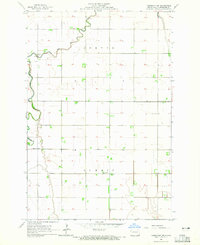
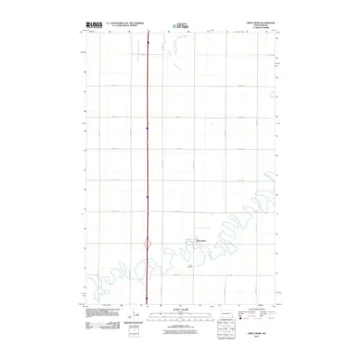
 1960 Mooreton East1961 Print · USGSRichland County's agricultural heartland is captured here during the mid-twentieth century, showing a landscape defined by rail lines and section roads. Genealogists and local historians can trace the foundations of Mooreton and Farmington or locate rural landmarks like St Paul Ch and Wahpeton School No 5.2 unique versions available
 - 1964 Map of Fairmount NW, 1965 Print
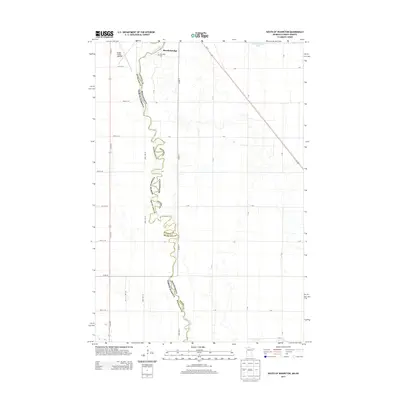
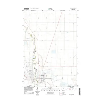
 1964 Fairmount NW1965 Print · USGSRichland County's agricultural heartland is captured in the mid-1960s, showing the rural organization of Center and Summit. Genealogists and local historians can locate specific farmsteads near St Johns Ch and trace the paths to School No 1 or the local Townhall.
 - 1964 Map of Great Bend, 1965 Print
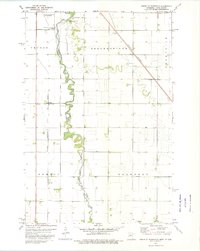
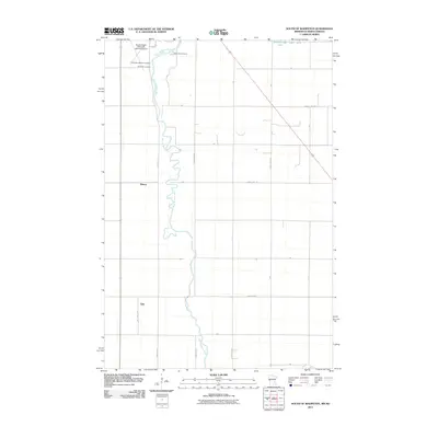
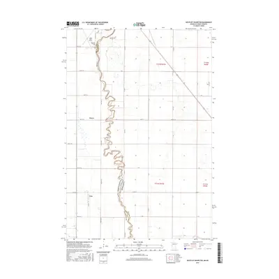
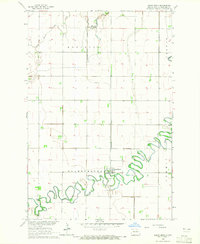 1964 Great Bend1965 Print · USGSRichland County agriculture and river life are captured here in the mid-1960s, centered on the tight meanders of the Wild Rice River. Researchers can trace the Northern Pacific rail corridor and locate family sites near Great Bend or Trinity Cem.2 unique versions available
 - 1964 Map of Dwight, 1966 Print
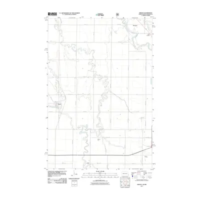
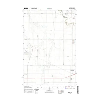
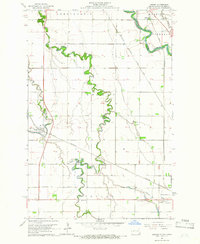 1964 Dwight1966 Print · USGSThe Red River Valley landscape in the mid-1960s highlights the agricultural and spiritual roots of the North Dakota borderlands. Researchers can trace family history at St Josephs Cemetery or locate local landmarks like the Carmelite Monastery and Brushvale.3 unique versions available
 - 1964 Map of Wahpeton, 1966 Print
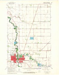 1964 Wahpeton1966 Print · USGSThe Red River valley thrived as a vital rail and educational hub in the mid-sixties, where North Dakota and Minnesota met at the water's edge. Genealogists and researchers can trace the Wahpeton Indian Sch, the St Marys Cem, and several historic Great Northern rail lines.3 unique versions available
 - 1973 Map of South of Wahpeton, 1975 Print
 1973 South of Wahpeton1975 Print · USGSWilkin County and the North Dakota border come into focus in the early seventies along the winding Bois De Sioux River. Genealogists and local historians can trace family locations near the Bohemian National Cem or the rail stop at Tyler.
 - 1985 Map of Wahpeton, 1986 Print
 1985 Wahpeton1986 Print · USGSThe Red River Valley and Minnesota lake country meet in the mid-eighties at the border towns of Wahpeton and Breckenridge. Genealogists and historians can trace the rail lines of the Burlington Northern through settlements like Abercrombie and Hankinson, or locate legacy sites like Fort Abercrombie State Park.2 unique versions available
 - 1989 Map of Fargo, 1990 Print
 1989 Fargo1990 Print · USGSThe Red River Valley at the end of the eighties shows a landscape of flourishing university towns and vital rail corridors. Researchers can trace family roots through Riverside Cem, find early campus layouts for North Dakota State University, or follow the Soo Line Railroad through West Fargo.
 - 2011 Map of Wahpeton, 2011 Print
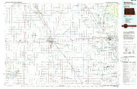
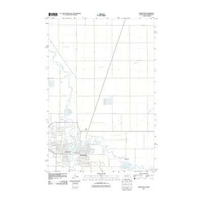 2011 Wahpeton2011 Print · USGSCovers Center Township, including Wahpeton, Breckenridge, and other nearby areas
 - 2011 Map of Great Bend, 2011 Print
 2011 Great Bend2011 Print · USGSCovers Center Township, including Great Bend, Summit Township, and other nearby areas
 - 2011 Map of Mooreton East, 2011 Print
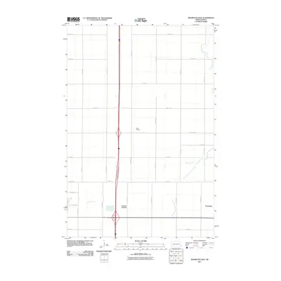 2011 Mooreton East2011 Print · USGSCovers Center Township, including Mooreton, Abercrombie Township, and other nearby areas
 - 2011 Map of South of Wahpeton, 2011 Print
 2011 South of Wahpeton2011 Print · USGSCovers Center Township, including Wahpeton, Breckenridge, and other nearby areas
 - 2011 Map of Fairmount NW, 2011 Print
 2011 Fairmount NW2011 Print · USGSCovers Center Township, including Summit Township, Richland County, and other nearby areas
 - 2011 Map of Dwight, 2011 Print
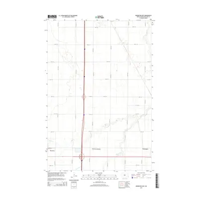
 2011 Dwight2011 Print · USGSCovers Center Township, including Wahpeton, Dwight, and other nearby areas
 - 2013 Map of South of Wahpeton, 2013 Print
 2013 South of Wahpeton2013 Print · USGSCovers Center Township, including Wahpeton, Breckenridge, and other nearby areas
 - 2014 Map of Fairmount NW, 2014 Print
 2014 Fairmount NW2014 Print · USGSCovers Center Township, including Summit Township, Richland County, and other nearby areas
 - 2014 Map of Great Bend, 2014 Print
 2014 Great Bend2014 Print · USGSCovers Center Township, including Great Bend, Summit Township, and other nearby areas
 - 2014 Map of Dwight, 2014 Print
 2014 Dwight2014 Print · USGSCovers Center Township, including Wahpeton, Dwight, and other nearby areas
 - 2014 Map of Mooreton East, 2014 Print
 2014 Mooreton East2014 Print · USGSCovers Center Township, including Mooreton, Abercrombie Township, and other nearby areas
 - 2014 Map of Wahpeton, 2014 Print
 2014 Wahpeton2014 Print · USGSCovers Center Township, including Wahpeton, Breckenridge, and other nearby areas
 - 2016 Map of South of Wahpeton, 2016 Print
 2016 South of Wahpeton2016 Print · USGSCovers Center Township, including Wahpeton, Breckenridge, and other nearby areas
 - 2017 Map of Mooreton East, 2017 Print
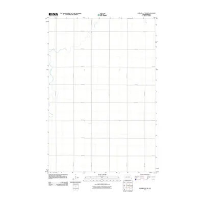
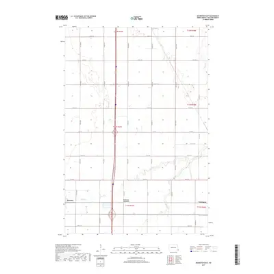 2017 Mooreton East2017 Print · USGSCovers Center Township, including Mooreton, Abercrombie Township, and other nearby areas
Showing maps 1-25 of 41
Top cities near Center Township
- Wahpeton historical maps
- Breckenridge historical maps
- Hankinson historical maps
- Fairmount historical maps
- Abercrombie historical maps
- Mooreton historical maps
See more
Top neighborhoods of Center Township
Frequently asked questions
- What are the different types of historical maps available for Center Township?
- What is the oldest map of Center Township?
- Where can I purchase historical maps of Center Township for my home or office?
- Where can I download high-res historical maps of Center Township?
- Are there historical topographic maps available for Center Township?
- Is there historical aerial imagery available for Center Township?
- Where are historical maps of Center Township sourced from?