2020s Maps of Freeman Township, North Dakota
Explore 8 historic maps of Freeman Township from the 2020s. These maps offer a rare glimpse into what life looked like during the 2020s — showing old roads, neighborhoods, homes, and landmarks that have changed or disappeared over time.
Whether you're researching your family's past, planning a metal detecting trip, or studying how Freeman Township's landscape evolved across the 2020s, these high-resolution maps are a powerful tool for exploring the history of this region.
- Focus on a specific era: All maps on this page are from the 2020s, giving you a focused view of this time period.
- See what’s changed: Compare century-old streets, trails, and buildings to today's modern landscape using overlays and satellite layers.
- Research with precision: Use these maps for genealogy, historical research, land use analysis, or educational projects.
- View, download, or print: Maps are fully viewable online in high resolution, and can be downloaded or printed for your own records.
Start exploring Freeman Township's history through authentic maps from the 2020s. This is your window into the past.
Freeman Township, ND maps
(8)- 2020 Map of McLeod, 2020 Print
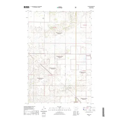 2020 McLeod2020 Print · USGSCovers Freeman Township, including Sheyenne Township, McLeod, and other nearby areas
 - 2020 Map of Wyndmere NW, 2020 Print
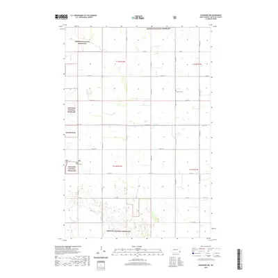 2020 Wyndmere NW2020 Print · USGSCovers Freeman Township, including Garborg Township, Viking Township, and other nearby areas
 - 2020 Map of De Lamere, 2020 Print
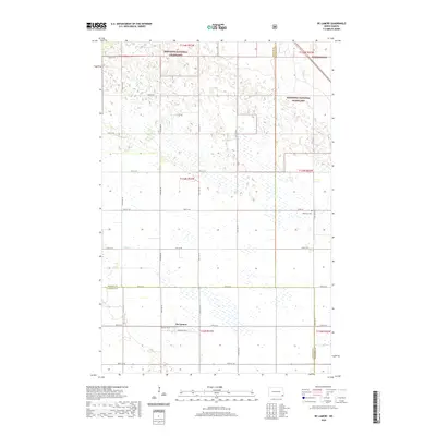 2020 De Lamere2020 Print · USGSCovers Freeman Township, including Went End Township, Wyndmere Township, and other nearby areas
 - 2020 Map of Wyndmere, 2020 Print
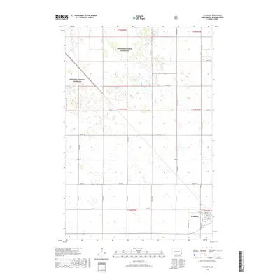 2020 Wyndmere2020 Print · USGSCovers Freeman Township, including Wyndmere, Garborg Township, and other nearby areas
 - 2024 Map of Wyndmere, 2024 Print
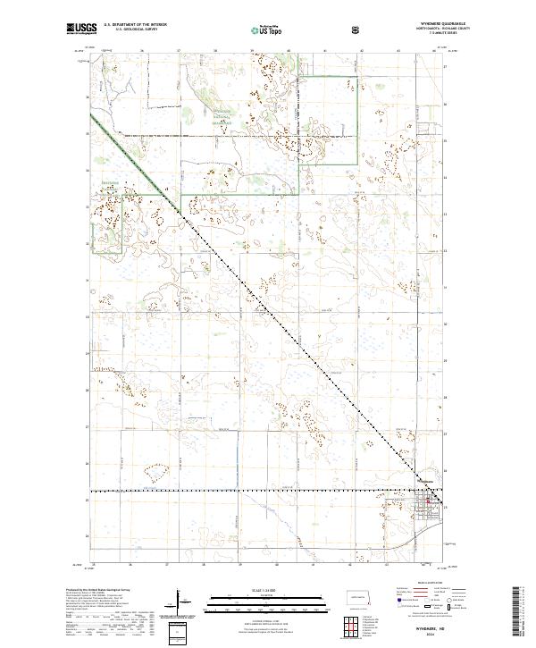 2024 Wyndmere2024 Print · USGSThe rural landscape around Wyndmere in the 2020s shows a structured balance between agriculture and conservation. Researchers can trace the local street grid of Wyndmere or explore the preserved sections of the Sheyenne National Grassland.
 - 2024 Map of Wyndmere NW, 2024 Print
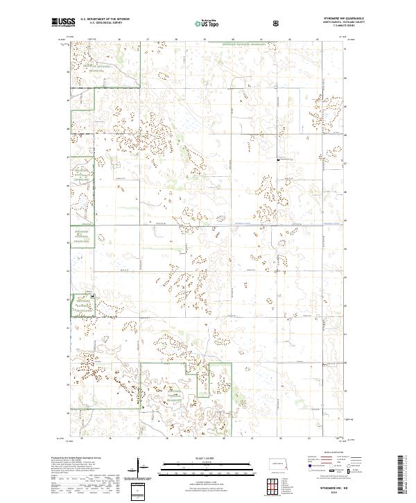 2024 Wyndmere NW2024 Print · USGSRichland County's prairie landscape is showcased here in the modern era, centering on the protected acreage of the Sheyenne National Grassland. Genealogists and historians can pinpoint rural burial sites like Nordmanna Cem and Freeman Cem along the quiet banks of Antelope Creek.
 - 2024 Map of McLeod, 2024 Print
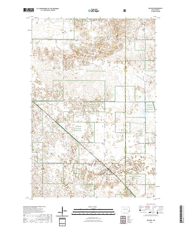 2024 McLeod2024 Print · USGSThe prairie landscape of Ransom and Richland counties comes into focus in this contemporary survey of the McLeod area. Genealogists and local historians can locate the Free Lutheran Cem and trace the winding North Country National Scenic Trl through the Sheyenne National Grassland.
 - 2024 Map of De Lamere, 2024 Print
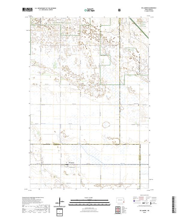 2024 De Lamere2024 Print · USGSSoutheast North Dakota's prairie landscape is captured here in the contemporary era, showing the intersection of three counties and the open Sheyenne National Grassland. Genealogists and local historians can trace the settlement of De Lamere and locate the Anderson Cem along the township's rural road network.
End of results
Showing maps 1-8 of 8
Top cities near Freeman Township
- Wyndmere historical maps
- Barrie Township historical maps
- Barney historical maps
- Coburn Township historical maps
Frequently asked questions
- What are the different types of historical maps available for Freeman Township?
- What is the oldest map of Freeman Township?
- Where can I purchase historical maps of Freeman Township for my home or office?
- Where can I download high-res historical maps of Freeman Township?
- Are there historical topographic maps available for Freeman Township?
- Is there historical aerial imagery available for Freeman Township?
- Where are historical maps of Freeman Township sourced from?