Old Maps of Sheyenne Township, North Dakota for Metal Detecting
Plan your next treasure hunt with 36 historic maps of Sheyenne Township. Find old homesites, ghost towns, trails, and gathering spots that may be lost to time — perfect for identifying promising metal detecting locations.
- Locate forgotten sites: Uncover places like long-lost settlements, abandoned rail lines, or gathering spots.
- Plan better hunts: Use map overlays combined with LiDAR or satellite views to narrow in on historically rich areas.
- Made for detectorists: Thousands of hobbyists use these maps to discover relics, coins, and hidden history.
Use these historic maps to boost your research and find new opportunities beneath the surface of Sheyenne Township.
Sheyenne Township, ND maps
(36)- 1895 Map of Casselton, 1961 Print
 1895 Casselton1961 Print · USGSNorth Dakota's Red River Valley rail network is in full bloom in the 1890s, with towns emerging at every major junction. Trace early post offices and depots at Chaffee P.O., Embden, and Ripon along the Northern Pacific R. R.
 - 1897 Map of Casselton
 1897 Casselton1897 Print · USGSCass County’s agricultural heartland is captured here in the 1890s, when new rail lines were defining the North Dakota prairie. Genealogists can trace family locations near early hubs like Casselton, the Chaffee P.O. settlement, and the banks of the Maple River.3 unique versions available
 - 1907 Map of Wyndmere
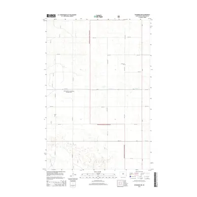
 1907 Wyndmere1907 Print · USGSRichland and Sargent counties are seen here in the early 1900s during the height of the prairie railroad boom. Genealogists and historians can trace the paths of five different rail lines serving early towns like Milnor, Wyndmere, and Sandoun Mc Leod P O.2 unique versions available
 - 1953 Map of Fargo, 1965 Print
 1953 Fargo1965 Print · USGSThe Red River Valley in the mid-fifties was a bustling rail and agricultural corridor during a period of steady prairie growth. Genealogists and historians can trace the intricate rail networks of the Great Northern and Soo Line connecting local hubs like Casselton and Wahpeton.2 unique versions available
 - 1956 Map of Fargo
 1956 Fargo1956 Print · USGSThe Red River Valley's agricultural heartland is documented here in the mid-fifties as the rail-and-road network expanded across the plains. Genealogists can trace family roots through numerous small railroad towns and local landmarks like Casselton, Sheyenne Valley Church, and Sisseton Indian Res.
 - 1960 Map of Power, 1961 Print
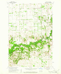 1960 Power1961 Print · USGSThe rural prairie of Richland County is captured here in the early sixties as the Sheyenne River winds through a network of established townships. Researchers can trace the mid-century footprints of the Power settlement, several country churches like Zion Ch, and the local Town Hall.
 - 1960 Map of Wyndmere NW, 1961 Print
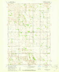 1960 Wyndmere NW1961 Print · USGSRichland County's rural townships are preserved here during the mid-century, documenting a landscape of family farms and small country schools. Researchers can trace local heritage through landmarks like Nordmanna Cem, United Lutheran Ch, and School No 2.
 - 1960 Map of Coburn, 1962 Print
 1960 Coburn1962 Print · USGSRansom County's prairie and river-valley landscape are captured here during the early sixties, showing the agricultural patterns of the Great Plains. Researchers can locate family landmarks like the Owego Ch, the Northern Pacific rail line, and the Vivasaker Bridge crossing.
 - 1961 Map of McLeod, 1964 Print
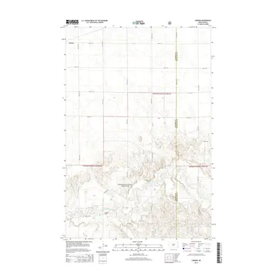
 1961 McLeod1964 Print · USGSThe eastern North Dakota prairie is captured here in the early sixties, centered on the railroad hub of McLeod. Researchers can trace the path of the Soo Line and locate the Free Lutheran Cem near the borders of Sheyenne and Owego.
 - 1986 Map of Lisbon
 1986 Lisbon1986 Print · USGSSoutheastern North Dakota's prairie landscape is mapped here in the mid-1980s, showcasing a region defined by its river valleys and rail-fed agricultural towns. Researchers can trace the heritage of communities like Gwinner and Cayuga or locate family markers at Oakwood Cem.2 unique versions available
 - 1986 Map of Casselton
 1986 Casselton1986 Print · USGSEastern North Dakota in the mid-1980s was a landscape defined by the intersection of the Sheyenne River and major rail lines. Researchers can trace the development of agricultural hubs like Enderlin and Casselton or locate the Griswold Mine and Memory Gardens Cem.2 unique versions available
 - 1989 Map of Fargo, 1990 Print
 1989 Fargo1990 Print · USGSThe Red River Valley at the end of the eighties shows a landscape of flourishing university towns and vital rail corridors. Researchers can trace family roots through Riverside Cem, find early campus layouts for North Dakota State University, or follow the Soo Line Railroad through West Fargo.
 - 1998 Map of Coburn, 2000 Print
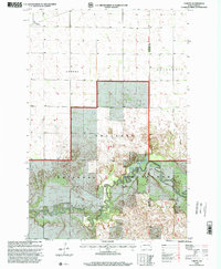 1998 Coburn2000 Print · USGSRansom and Richland counties appear here in the late nineties, where the prairie gives way to the deep bends of the river. Genealogists and local historians can trace the rural landscape near Coburn and find the Owego Ch within the Sheyenne National Grassland.
 - 1998 Map of McLeod, 2000 Print
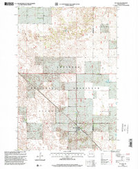 1998 McLeod2000 Print · USGSSoutheast North Dakota's prairie and ranching lands are captured here during the late twentieth century. Genealogists and local historians can trace the Soo Line rail corridor through McLeod and locate the historic Free Lutheran Cem.
 - 1998 Map of Wyndmere NW, 2000 Print
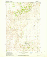
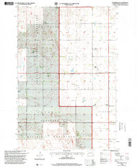 1998 Wyndmere NW2000 Print · USGSRichland County at the close of the twentieth century shows a landscape defined by the Sheyenne National Grassland and the legacy of its early settlers. Researchers can locate local landmarks like Nordmanna Cem, School No 34, and the United Lutheran Ch.
 - 1998 Map of Power, 2000 Print
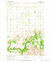
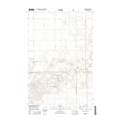
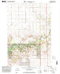 1998 Power2000 Print · USGSRichland County's prairie and river lowlands are captured here in the late twentieth century, showing the intersection of agricultural townships and protected lands. Genealogists can locate family landmarks like Helendale Ch, Barrie Ch, and the small community of Power.
 - 2011 Map of Power, 2011 Print
 2011 Power2011 Print · USGSCovers Sheyenne Township, including Barrie Township, Viking Township, and other nearby areas
 - 2011 Map of Coburn, 2011 Print
 2011 Coburn2011 Print · USGSCovers Sheyenne Township, including Coburn Township, Helendale Township, and other nearby areas
 - 2011 Map of McLeod, 2011 Print
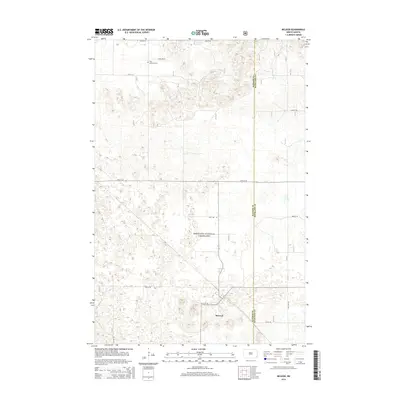
 2011 McLeod2011 Print · USGSCovers Sheyenne Township, including Freeman Township, McLeod, and other nearby areas
 - 2011 Map of Wyndmere NW, 2011 Print
 2011 Wyndmere NW2011 Print · USGSCovers Sheyenne Township, including Garborg Township, Viking Township, and other nearby areas
 - 2014 Map of Wyndmere NW, 2014 Print
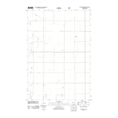
 2014 Wyndmere NW2014 Print · USGSCovers Sheyenne Township, including Garborg Township, Viking Township, and other nearby areas
 - 2014 Map of McLeod, 2014 Print
 2014 McLeod2014 Print · USGSCovers Sheyenne Township, including Freeman Township, McLeod, and other nearby areas
 - 2014 Map of Coburn, 2014 Print
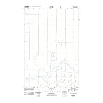
 2014 Coburn2014 Print · USGSCovers Sheyenne Township, including Coburn Township, Helendale Township, and other nearby areas
 - 2014 Map of Power, 2014 Print
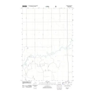
 2014 Power2014 Print · USGSCovers Sheyenne Township, including Barrie Township, Viking Township, and other nearby areas
 - 2017 Map of McLeod, 2017 Print
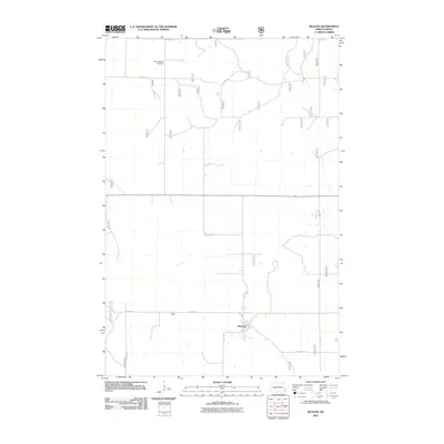
 2017 McLeod2017 Print · USGSCovers Sheyenne Township, including Freeman Township, McLeod, and other nearby areas
Showing maps 1-25 of 36
Top cities near Sheyenne Township
- Kindred historical maps
- Davenport historical maps
- Leonard historical maps
- Barrie Township historical maps
- Warren Township historical maps
- Coburn Township historical maps
Frequently asked questions
- What are the different types of historical maps available for Sheyenne Township?
- What is the oldest map of Sheyenne Township?
- Where can I purchase historical maps of Sheyenne Township for my home or office?
- Where can I download high-res historical maps of Sheyenne Township?
- Are there historical topographic maps available for Sheyenne Township?
- Is there historical aerial imagery available for Sheyenne Township?
- Where are historical maps of Sheyenne Township sourced from?