2020s Maps of Summit Township, North Dakota
Explore 11 historic maps of Summit Township from the 2020s. These maps offer a rare glimpse into what life looked like during the 2020s — showing old roads, neighborhoods, homes, and landmarks that have changed or disappeared over time.
Whether you're researching your family's past, planning a metal detecting trip, or studying how Summit Township's landscape evolved across the 2020s, these high-resolution maps are a powerful tool for exploring the history of this region.
- Focus on a specific era: All maps on this page are from the 2020s, giving you a focused view of this time period.
- See what’s changed: Compare century-old streets, trails, and buildings to today's modern landscape using overlays and satellite layers.
- Research with precision: Use these maps for genealogy, historical research, land use analysis, or educational projects.
- View, download, or print: Maps are fully viewable online in high resolution, and can be downloaded or printed for your own records.
Start exploring Summit Township's history through authentic maps from the 2020s. This is your window into the past.
Summit Township, ND maps
(11)- 2020 Map of Fairmount, 2020 Print
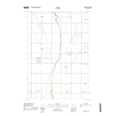 2020 Fairmount2020 Print · USGSCovers Summit Township, including Fairmount, Fairmount Township, and other nearby areas
 - 2020 Map of Hankinson SE, 2020 Print
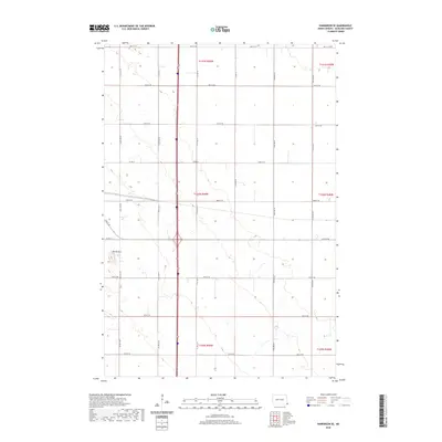 2020 Hankinson SE2020 Print · USGSCovers Summit Township, including Hankinson, Greendale Township, and other nearby areas
 - 2020 Map of Sonora, 2020 Print
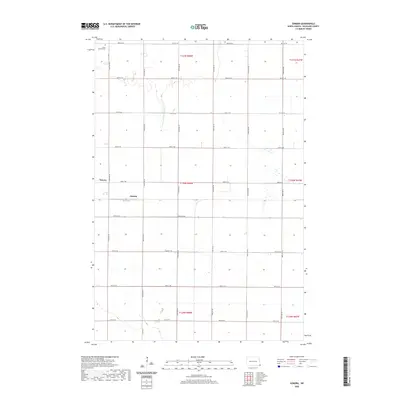 2020 Sonora2020 Print · USGSCovers Summit Township, including Oswald, Sonora, and other nearby areas
 - 2020 Map of Great Bend, 2020 Print
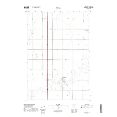 2020 Great Bend2020 Print · USGSCovers Summit Township, including Great Bend, Center Township, and other nearby areas
 - 2020 Map of Fairmount NW, 2020 Print
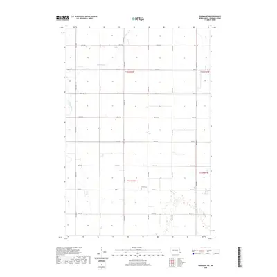 2020 Fairmount NW2020 Print · USGSCovers Summit Township, including Center Township, Richland County, and other nearby areas
 - 2022 Map of South of Wahpeton, 2022 Print
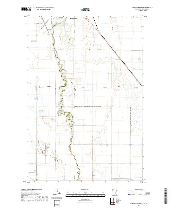 2022 South of Wahpeton2022 Print · USGSThe borderlands of the Red River Valley are documented in this 2022 survey, where the winding Bois de Sioux River divides the landscape. Researchers can trace the layout of Wahpeton and Breckenridge or locate rural sites like Riverside Cem and the settlement of Tyler.
 - 2024 Map of Fairmount NW, 2024 Print
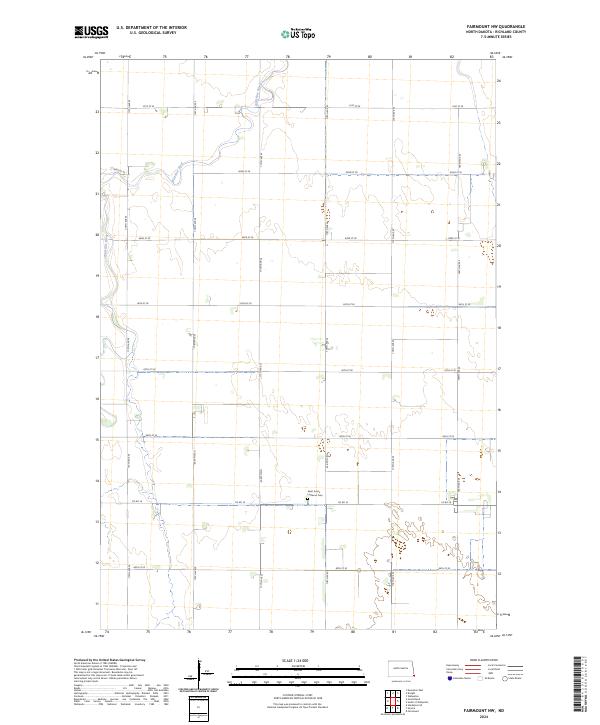 2024 Fairmount NW2024 Print · USGSRichland County's agricultural prairie is documented here in the early twenty-first century, showing the intersection of river and road. Researchers can trace the path of the Wild Rice River and find family-history landmarks like the Saint John's Lutheran Cem.
 - 2024 Map of Fairmount, 2024 Print
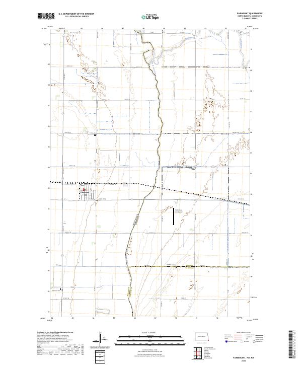 2024 Fairmount2024 Print · USGSFairmount and its surroundings are documented in this recent survey, capturing the river-border landscape where North Dakota meets Minnesota. Trace local family history through Fairmount Cem and Calvary Cem, or follow the winding Bois de Sioux River.
 - 2024 Map of Sonora, 2024 Print
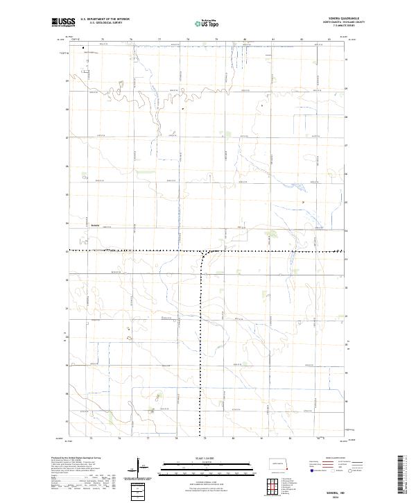 2024 Sonora2024 Print · USGSRichland County's agricultural heartland is captured in this survey of the fertile Red River Valley. Genealogists and local historians can trace the community around Sonora and Oswald, or find family ties at Saint Josephs Cem and along Co Rd 81.
 - 2024 Map of Great Bend, 2024 Print
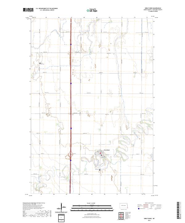 2024 Great Bend2024 Print · USGSRichland County's agricultural heartland and the winding Wild Rice River are documented in this recent survey. Genealogists and local historians can locate rural landmarks like Zion United Methodist Cem, Trinity Cem, and the Divet Farm Cem.
 - 2024 Map of Hankinson SE, 2024 Print
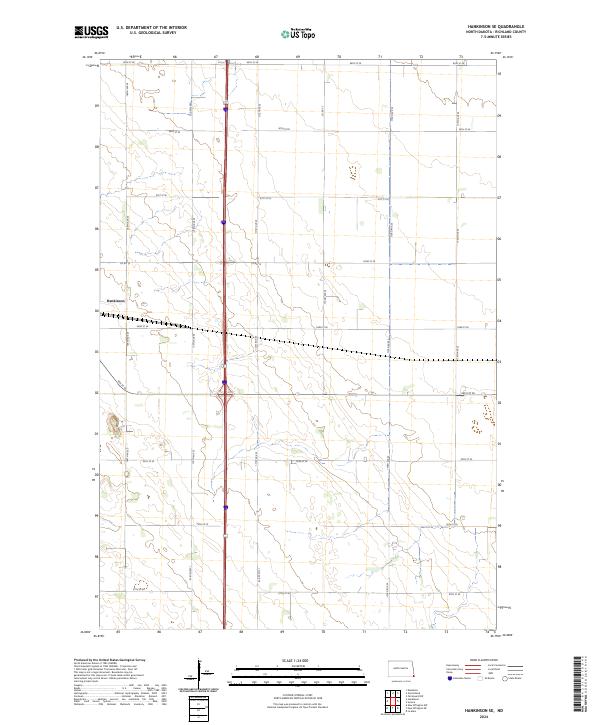 2024 Hankinson SE2024 Print · USGSRichland County's agricultural heartland is captured here in the early twenty-first century, showing the enduring grid of the Dakota prairie. Trace the outskirts of Hankinson and the rural intersections of Co Rd 15 and 93rd St SE.
End of results
Showing maps 1-11 of 11
Top cities near Summit Township
- Wahpeton historical maps
- Breckenridge historical maps
- Hankinson historical maps
- Fairmount historical maps
- Mooreton historical maps
- Great Bend historical maps
See more
Top neighborhoods of Summit Township
Frequently asked questions
- What are the different types of historical maps available for Summit Township?
- What is the oldest map of Summit Township?
- Where can I purchase historical maps of Summit Township for my home or office?
- Where can I download high-res historical maps of Summit Township?
- Are there historical topographic maps available for Summit Township?
- Is there historical aerial imagery available for Summit Township?
- Where are historical maps of Summit Township sourced from?