2020s Maps of Kohlmeier Township, North Dakota
Explore 4 historic maps of Kohlmeier Township from the 2020s. These maps offer a rare glimpse into what life looked like during the 2020s — showing old roads, neighborhoods, homes, and landmarks that have changed or disappeared over time.
Whether you're researching your family's past, planning a metal detecting trip, or studying how Kohlmeier Township's landscape evolved across the 2020s, these high-resolution maps are a powerful tool for exploring the history of this region.
- Focus on a specific era: All maps on this page are from the 2020s, giving you a focused view of this time period.
- See what’s changed: Compare century-old streets, trails, and buildings to today's modern landscape using overlays and satellite layers.
- Research with precision: Use these maps for genealogy, historical research, land use analysis, or educational projects.
- View, download, or print: Maps are fully viewable online in high resolution, and can be downloaded or printed for your own records.
Start exploring Kohlmeier Township's history through authentic maps from the 2020s. This is your window into the past.
Kohlmeier Township, ND maps
(4)- 2020 Map of Fonda, 2020 Print
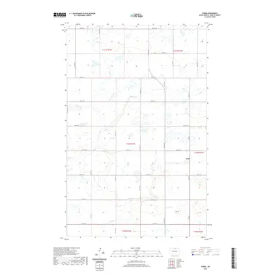 2020 Fonda2020 Print · USGSCovers Kohlmeier Township, including Fonda, South Valley Township, and other nearby areas
 - 2020 Map of Overly, 2020 Print
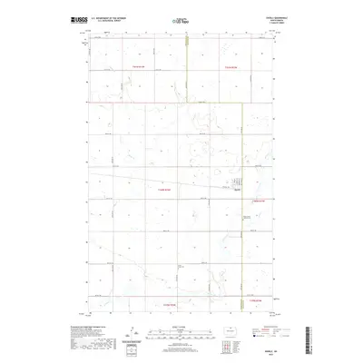 2020 Overly2020 Print · USGSCovers Kohlmeier Township, including Overly, South Valley Township, and other nearby areas
 - 2024 Map of Overly, 2024 Print
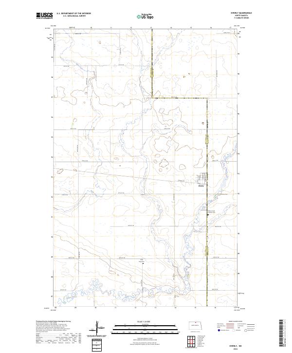 2024 Overly2024 Print · USGSThe rural prairie of eastern Bottineau County is captured here in the early twenty-first century, centered on the small grid of Overly. Researchers can trace local lineage at the Willow Creek Lutheran Cem or follow the winding path of Willow Creek.
 - 2024 Map of Fonda, 2024 Print
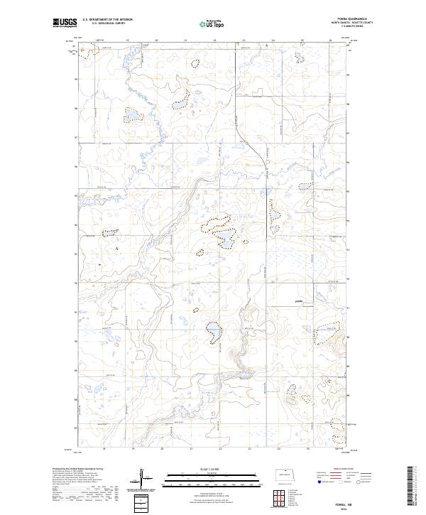 2024 Fonda2024 Print · USGSRolette County's prairie wetlands and agricultural sections are documented here as they appeared in the early 2020s. Genealogists and local historians can trace the settlement at Fonda and the natural course of Mud Creek and the Rolette County Waterfowl Production Area.
End of results
Showing maps 1-4 of 4
Top cities near Kohlmeier Township
- Dunseith historical maps
- Shell Valley historical maps
- Willow City historical maps
- Overly historical maps
Top neighborhoods of Kohlmeier Township
Frequently asked questions
- What are the different types of historical maps available for Kohlmeier Township?
- What is the oldest map of Kohlmeier Township?
- Where can I purchase historical maps of Kohlmeier Township for my home or office?
- Where can I download high-res historical maps of Kohlmeier Township?
- Are there historical topographic maps available for Kohlmeier Township?
- Is there historical aerial imagery available for Kohlmeier Township?
- Where are historical maps of Kohlmeier Township sourced from?