Old Maps of San Haven, North Dakota for Academic Research
Study the evolution of San Haven with 11 high-resolution historic maps. Whether you're teaching, researching, or modeling changes in land use, these maps provide essential visual documentation of urban, environmental, and geographic change.
- Analyze long-term change: Track patterns in development, transportation, and natural features.
- Ideal for environmental or urban studies: Support academic projects with primary historical map data.
- Use in the classroom or lab: Educators and researchers rely on these maps to bring historical context to life.
These maps are a powerful tool for teaching, research, and visualizing how San Haven has changed over the decades.
San Haven, ND maps
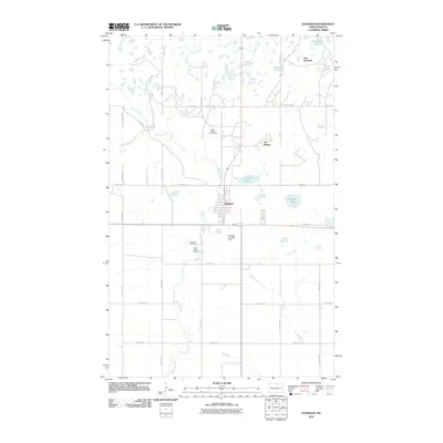
(11)- 1935 Map of Dunseith
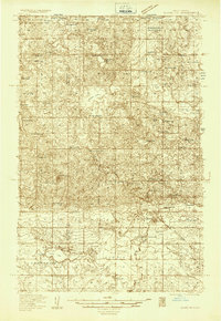 1935 Dunseith1935 Print · USGSNorth Dakota's borderlands near the Turtle Mountains are captured here in the mid-1930s, showing the early layout of the International Peace Garden. Genealogists and historians can trace the rural school districts and parish sites of Rolette County, including St Johns Ch, Kelvin PO, and the Great Northern rail line into Dunseith.
 - 1939 Map of Dunseith
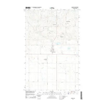
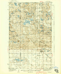 1939 Dunseith1939 Print · USGSThe Turtle Mountains of Rolette County are shown here in the late 1930s, documenting a landscape of glacial lakes and prairie borderlands. Genealogists and local historians can locate early landmarks like the International Peace Garden, San Haven, and several rural sites like Beaverdam Sch.2 unique versions available
 - 1954 Map of Minot, 1964 Print
 1954 Minot1964 Print · USGSNorth Dakota's northern borderlands are captured here in the mid-fifties, showing a landscape defined by the winding Souris River and the rise of the Turtle Mountains. Genealogists can locate family-named sidings like Hurd Siding and Truro Siding alongside the vital Great Northern rail lines.3 unique versions available
 - 1955 Map of Dunseith, 1956 Print
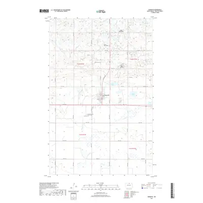
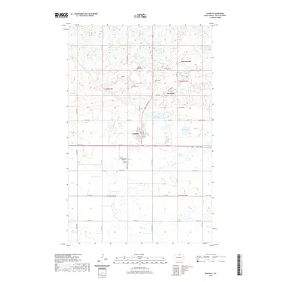
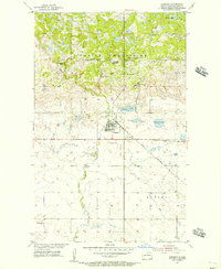 1955 Dunseith1956 Print · USGSMid-century Rolette County comes into focus as the wooded Turtle Mountains meet the prairie at the Great Northern rail line. Researchers can locate the Dunseith Indian Sch, multiple missions, and several cemeteries including Riverside Cem and St Louis Cem.
 - 1958 Map of Minot
 1958 Minot1958 Print · USGSNorthern North Dakota is shown here during the mid-fifties, dominated by the rail-driven growth of Minot and the surrounding grain-farming prairie. Genealogists can trace family connections to border towns like Westhope or explore the vast reaches of the Turtle Mountains.
 - 1980 Map of Bottineau
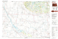 1980 Bottineau1980 Print · USGSNorth Dakota's northern borderlands are shown here in the 1980s, where the high wooded hills of the Turtle Mountains meet the Souris River valley. Genealogists and historians can trace the rail networks of the Soo Line and locate landmarks like San Haven, Butte St Paul, and the International Peace Garden.
 - 2011 Map of Dunseith, 2011 Print
 2011 Dunseith2011 Print · USGSCovers San Haven, including Dunseith, East Dunseith, and other nearby areas
 - 2014 Map of Dunseith, 2014 Print
 2014 Dunseith2014 Print · USGSCovers San Haven, including Dunseith, East Dunseith, and other nearby areas
 - 2017 Map of Dunseith, 2017 Print
 2017 Dunseith2017 Print · USGSCovers San Haven, including Dunseith, East Dunseith, and other nearby areas
 - 2020 Map of Dunseith, 2020 Print
 2020 Dunseith2020 Print · USGSCovers San Haven, including Dunseith, East Dunseith, and other nearby areas
 - 2024 Map of Dunseith, 2024 Print
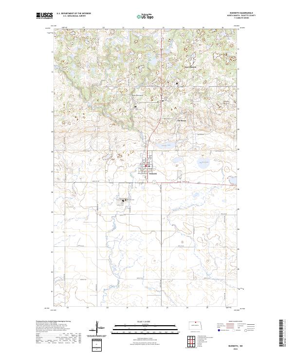 2024 Dunseith2024 Print · USGSNear the base of the Turtle Mountains, this modern survey captures the landscape of Dunseith and San Haven in the 2020s. Genealogists can locate several family burial sites including Saint Sylvan Cem, Riverside Cem, and Holy Cross Catholic Cem.
End of results
Showing maps 1-11 of 11
Top cities near San Haven
Frequently asked questions
- What are the different types of historical maps available for San Haven?
- What is the oldest map of San Haven?
- Where can I purchase historical maps of San Haven for my home or office?
- Where can I download high-res historical maps of San Haven?
- Are there historical topographic maps available for San Haven?
- Is there historical aerial imagery available for San Haven?
- Where are historical maps of San Haven sourced from?