Old Maps of Dunbar Township, North Dakota for Hiking & Exploration
Hike through history with 28 historic maps of Dunbar Township. Explore old trails, ghost towns, and forgotten backroads — perfect for outdoor adventurers and local explorers.
- Rediscover forgotten places: Map out old mining camps, roads, and footpaths that no longer exist on modern maps.
- Layer with modern tools: Combine with LiDAR or satellite views to plan hikes through historical terrain.
- Made for exploration: Popular among hikers, overlanders, and local history lovers.
Use these maps to find adventure and explore the hidden past of Dunbar Township.
Dunbar Township, ND maps
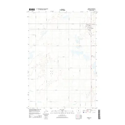
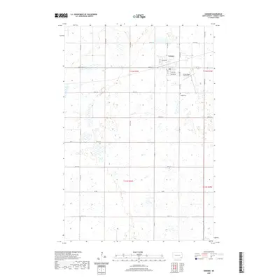
(28)- 1953 Map of Fargo, 1965 Print
 1953 Fargo1965 Print · USGSThe Red River Valley in the mid-fifties was a bustling rail and agricultural corridor during a period of steady prairie growth. Genealogists and historians can trace the intricate rail networks of the Great Northern and Soo Line connecting local hubs like Casselton and Wahpeton.2 unique versions available
 - 1956 Map of Fargo
 1956 Fargo1956 Print · USGSThe Red River Valley's agricultural heartland is documented here in the mid-fifties as the rail-and-road network expanded across the plains. Genealogists can trace family roots through numerous small railroad towns and local landmarks like Casselton, Sheyenne Valley Church, and Sisseton Indian Res.
 - 1958 Map of Rutland, 1959 Print
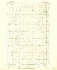
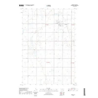
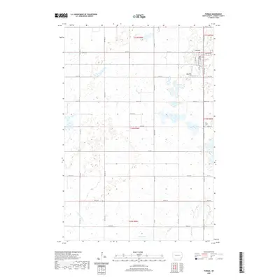
 1958 Rutland1959 Print · USGSSargent County is captured during the late fifties as a vital rail junction centered on the town of Rutland. Genealogists and local historians can trace the foundations of the community through Trinity Cem, Rutland Sch, and the winding Wild Rice River.2 unique versions available
 - 1958 Map of Forman, 1959 Print
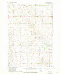
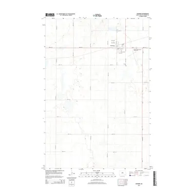
 1958 Forman1959 Print · USGSSargent County at the end of the fifties reveals a landscape of prairie wetlands and vital rail hubs. Genealogists and historians can locate Old Trinity Cem and trace the paths of the Great Northern and Minneapolis St Paul and Sault Ste Marie railroads.
 - 1962 Map of Hoving, 1964 Print
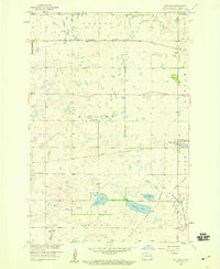
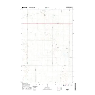
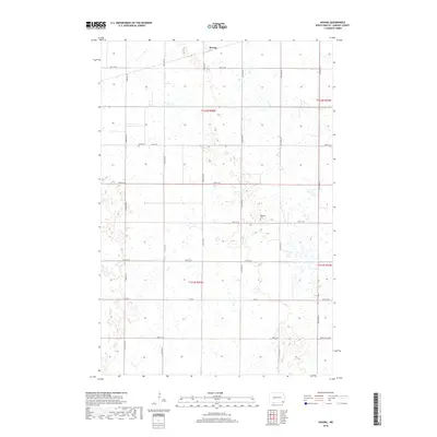
 1962 Hoving1964 Print · USGSSargent County prairie life in the early sixties is captured here as the NORTHERN PACIFIC railway passes through Hoving. Researchers can locate family landmarks such as Zion Cem, Dunbar Cem, and the meandering Crooked Cr.
 - 1962 Map of Gwinner, 1964 Print
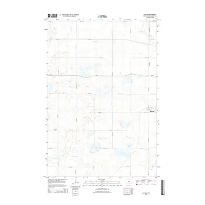
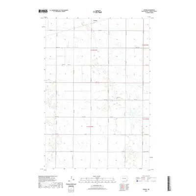
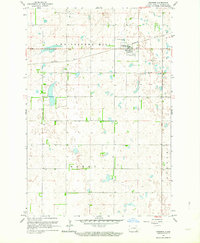 1962 Gwinner1964 Print · USGSSargent County in the early 1960s is captured at a point of industrial and agricultural transition. Genealogists and local historians can trace the early layout of Gwinner, the Northern Pacific rail line, and the location of Gwinner Cem.2 unique versions available
 - 1986 Map of Lisbon
 1986 Lisbon1986 Print · USGSSoutheastern North Dakota's prairie landscape is mapped here in the mid-1980s, showcasing a region defined by its river valleys and rail-fed agricultural towns. Researchers can trace the heritage of communities like Gwinner and Cayuga or locate family markers at Oakwood Cem.2 unique versions available
 - 1989 Map of Fargo, 1990 Print
 1989 Fargo1990 Print · USGSThe Red River Valley at the end of the eighties shows a landscape of flourishing university towns and vital rail corridors. Researchers can trace family roots through Riverside Cem, find early campus layouts for North Dakota State University, or follow the Soo Line Railroad through West Fargo.
 - 2011 Map of Forman, 2011 Print
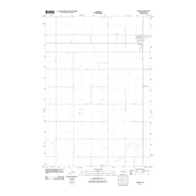 2011 Forman2011 Print · USGSCovers Dunbar Township, including Forman, Rutland Township, and other nearby areas
 - 2011 Map of Gwinner, 2011 Print
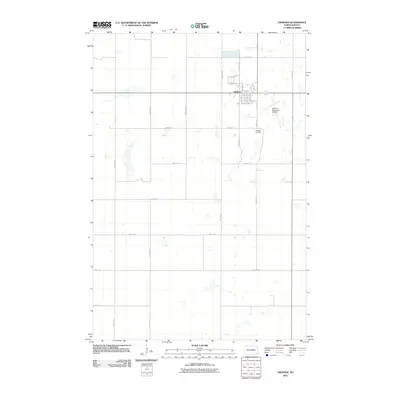 2011 Gwinner2011 Print · USGSCovers Dunbar Township, including Gwinner, Willey Township, and other nearby areas
 - 2011 Map of Hoving, 2011 Print
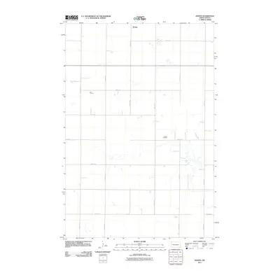 2011 Hoving2011 Print · USGSCovers Dunbar Township, including Willey Township, Hoving, and other nearby areas
 - 2011 Map of Rutland, 2011 Print
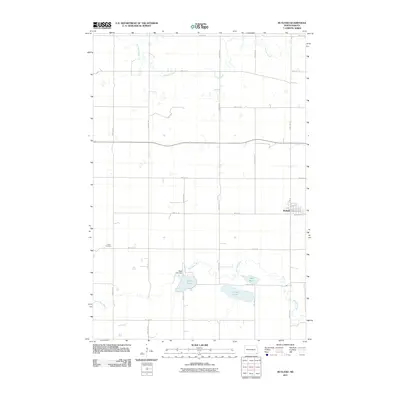 2011 Rutland2011 Print · USGSCovers Dunbar Township, including Rutland, Rutland Township, and other nearby areas
 - 2014 Map of Forman, 2014 Print
 2014 Forman2014 Print · USGSCovers Dunbar Township, including Forman, Rutland Township, and other nearby areas
 - 2014 Map of Hoving, 2014 Print
 2014 Hoving2014 Print · USGSCovers Dunbar Township, including Willey Township, Hoving, and other nearby areas
 - 2014 Map of Gwinner, 2014 Print
 2014 Gwinner2014 Print · USGSCovers Dunbar Township, including Gwinner, Willey Township, and other nearby areas
 - 2014 Map of Rutland, 2014 Print
 2014 Rutland2014 Print · USGSCovers Dunbar Township, including Rutland, Rutland Township, and other nearby areas
 - 2017 Map of Forman, 2017 Print
 2017 Forman2017 Print · USGSCovers Dunbar Township, including Forman, Rutland Township, and other nearby areas
 - 2018 Map of Gwinner, 2018 Print
 2018 Gwinner2018 Print · USGSCovers Dunbar Township, including Gwinner, Willey Township, and other nearby areas
 - 2018 Map of Hoving, 2018 Print
 2018 Hoving2018 Print · USGSCovers Dunbar Township, including Willey Township, Hoving, and other nearby areas
 - 2018 Map of Rutland, 2018 Print
 2018 Rutland2018 Print · USGSCovers Dunbar Township, including Rutland, Rutland Township, and other nearby areas
 - 2020 Map of Rutland, 2020 Print
 2020 Rutland2020 Print · USGSCovers Dunbar Township, including Rutland, Rutland Township, and other nearby areas
 - 2020 Map of Gwinner, 2020 Print
 2020 Gwinner2020 Print · USGSCovers Dunbar Township, including Gwinner, Willey Township, and other nearby areas
 - 2020 Map of Forman, 2020 Print
 2020 Forman2020 Print · USGSCovers Dunbar Township, including Forman, Rutland Township, and other nearby areas
 - 2020 Map of Hoving, 2020 Print
 2020 Hoving2020 Print · USGSCovers Dunbar Township, including Willey Township, Hoving, and other nearby areas
 - 2024 Map of Hoving, 2024 Print
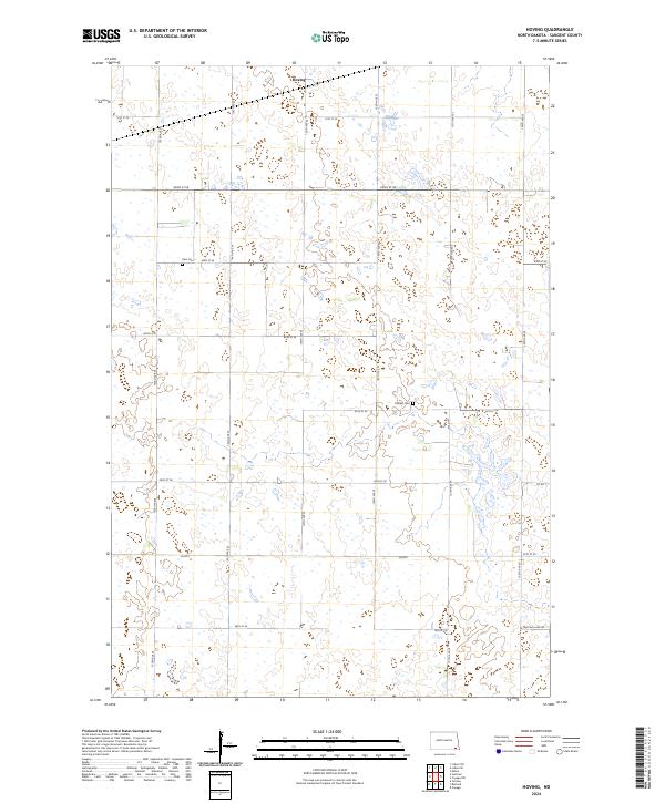 2024 Hoving2024 Print · USGSSargent County's prairie pothole landscape is captured in this recent survey, showcasing a mix of conservation land and traditional family farmsteads. Researchers can locate the Hoving townsite and rural burial grounds like Zion Cem and Dunbar Cem.
Showing maps 1-25 of 28
Top cities near Dunbar Township
- Gwinner historical maps
- Milnor historical maps
- Forman historical maps
- Rutland historical maps
- Cogswell historical maps
- Havana historical maps
See more
Frequently asked questions
- What are the different types of historical maps available for Dunbar Township?
- What is the oldest map of Dunbar Township?
- Where can I purchase historical maps of Dunbar Township for my home or office?
- Where can I download high-res historical maps of Dunbar Township?
- Are there historical topographic maps available for Dunbar Township?
- Is there historical aerial imagery available for Dunbar Township?
- Where are historical maps of Dunbar Township sourced from?