Old Maps of Charging Eagle Bay, Twin Buttes for Academic Research
Study the evolution of Charging Eagle Bay with 11 high-resolution historic maps. Whether you're teaching, researching, or modeling changes in land use, these maps provide essential visual documentation of urban, environmental, and geographic change.
- Analyze long-term change: Track patterns in development, transportation, and natural features.
- Ideal for environmental or urban studies: Support academic projects with primary historical map data.
- Use in the classroom or lab: Educators and researchers rely on these maps to bring historical context to life.
These maps are a powerful tool for teaching, research, and visualizing how Charging Eagle Bay has changed over the decades.
Charging Eagle Bay, Twin Buttes maps
(11)- 1953 Map of Watford City, 1968 Print
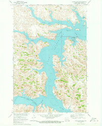
 1953 Watford City1968 Print · USGSNorth Dakota's badlands and the Missouri River basin are captured here during the 1950s and 60s as the Garrison Dam changed the landscape. Researchers can trace old rail lines like the Great Northern or find rural outposts such as Grassy Butte and Halliday.3 unique versions available
 - 1957 Map of Watford City
 1957 Watford City1957 Print · USGSWestern North Dakota's landscape is captured here during the mid-fifties as the Missouri River valley undergoes massive change following the creation of Garrison Reservoir. Genealogists and historians can trace dozens of rural schools like Divide School and early settlements such as Arnegard and Grassy Butte.
 - 1967 Map of Watford City
 1967 Watford City1967 Print · USGSWestern North Dakota is captured during a period of landscape transformation as the Missouri River valley was reshaped by the new Garrison Reservoir. Genealogists and local historians can trace the foundations of Watford City, find the Elkhorn Ranch Site, or locate rural landmarks like Ziner Butte and Grassy Butte.
 - 1970 Map of Saddle Butte SW, 1973 Print
 1970 Saddle Butte SW1973 Print · USGSDunn County’s badlands meet the sprawling reservoir of Lake Sakakawea in the early seventies, marking a landscape transformed by the Missouri River Basin project. Trace the intricate shoreline from Hidatsa Bay to the mouth of the Little Missouri River.
 - 1982 Map of Parshall, 1983 Print
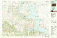 1982 Parshall1983 Print · USGSNorth Dakota's badlands and reservoir shorelines meet during the early eighties, showcasing a landscape shaped by both water and oil. Researchers can trace the development of New Town, locate the Riverview Cem, and explore the extent of the Antelope Oil Field.
 - 2011 Map of Saddle Butte SW, 2011 Print
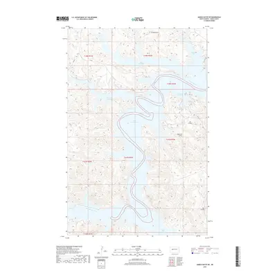
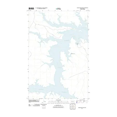 2011 Saddle Butte SW2011 Print · USGSCovers Charging Eagle Bay, including Mandaree, Twin Buttes, and other nearby areas
 - 2014 Map of Saddle Butte SW, 2014 Print
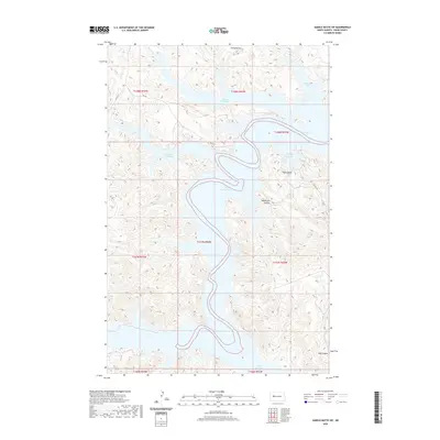
 2014 Saddle Butte SW2014 Print · USGSCovers Charging Eagle Bay, including Mandaree, Twin Buttes, and other nearby areas
 - 2018 Map of Saddle Butte SW, 2018 Print
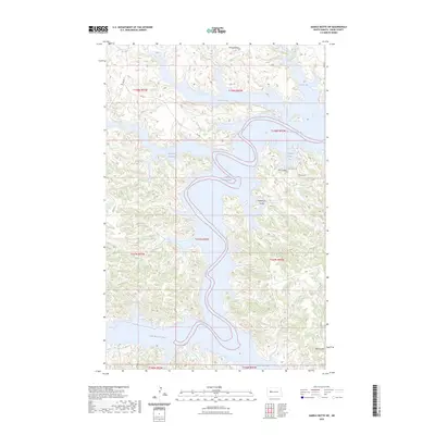
 2018 Saddle Butte SW2018 Print · USGSCovers Charging Eagle Bay, including Mandaree, Twin Buttes, and other nearby areas
 - 2020 Map of Saddle Butte SW, 2020 Print
 2020 Saddle Butte SW2020 Print · USGSCovers Charging Eagle Bay, including Mandaree, Twin Buttes, and other nearby areas
 - 2023 Map of Saddle Butte SW, 2023 Print
 2023 Saddle Butte SW2023 Print · USGSCovers Charging Eagle Bay, including Mandaree, Twin Buttes, and other nearby areas
 - 2024 Map of Saddle Butte SW, 2024 Print
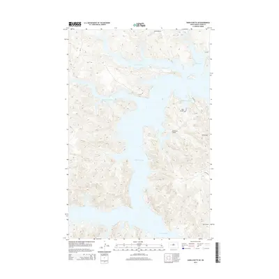
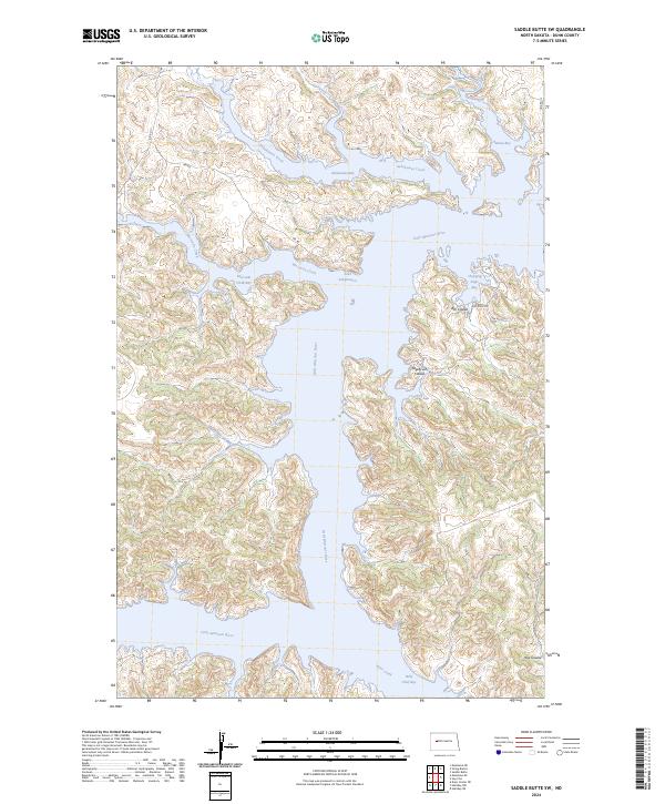 2024 Saddle Butte SW2024 Print · USGSThe broken badlands of Dunn County meet the flooded valleys of the Fort Berthold region in this contemporary survey. Researchers can trace the winding course of the Little Missouri River as it enters Lake Sakakawea near Wolf Chief Bay and Charging Eagle Bay.
End of results
Showing maps 1-11 of 11
Top cities near Charging Eagle Bay
Frequently asked questions
- What are the different types of historical maps available for Charging Eagle Bay?
- What is the oldest map of Charging Eagle Bay?
- Where can I purchase historical maps of Charging Eagle Bay for my home or office?
- Where can I download high-res historical maps of Charging Eagle Bay?
- Are there historical topographic maps available for Charging Eagle Bay?
- Is there historical aerial imagery available for Charging Eagle Bay?
- Where are historical maps of Charging Eagle Bay sourced from?