Old Maps of Williston, North Dakota
Explore 15 old maps of Williston, spanning from 1953 to today. These high-resolution historic maps reveal how streets, neighborhoods, landmarks, and natural features evolved over time — perfect for genealogy, metal detecting, research, and local history exploration.
What you can do with these maps:
- See how Williston changed over time: Compare historical maps to modern-day views to trace roads, homesites, rail lines & more.
- View detailed metadata: Each map includes creators, publishers, year, scale, and archive source.
- Overlay maps with satellite & LiDAR: Visualize the past alongside modern tools to explore terrain & human change.
- Trusted historical sources: Maps sourced from the USGS, Library of Congress, and other archives.
- Access maps your way: View online, download high-res files, or order prints for personal or research use.
Start exploring old maps of Williston to uncover forgotten places, hidden landmarks, and the deep history beneath your feet.
Williston, ND maps
(15)- 1953 Map of Williston, 1968 Print
 1953 Williston1968 Print · USGSThe North Dakota high plains meet the waters of Sakakawea Lake in this mid-century survey of the northern borderlands. Trace the rail-and-ranch economy through sites like Anderson Sky Ranch, Sevenmile Corner, and the strip mines near Columbus.2 unique versions available
 - 1957 Map of Williston
 1957 Williston1957 Print · USGSNorthwestern North Dakota is shown here during the mid-fifties, dominated by the sweeping plains and the Missouri River valley. Genealogists and local historians can trace the paths of the Great Northern railroad through Williston, Tioga, and Ray, or locate early industry like the coal strip mines near Lignite.
 - 1959 Map of Williston West, 1960 Print
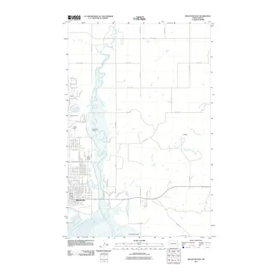
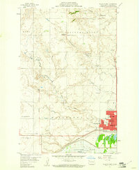 1959 Williston West1960 Print · USGSWilliston was expanding into a regional hub during the late fifties, poised between the Missouri River and the high plains. Genealogists and local historians can trace school sites like Tandy Y-Sch, the grounds of Riverview Cemetery, and early aviation at Sloulin Field.2 unique versions available
 - 1959 Map of Williston East, 1960 Print
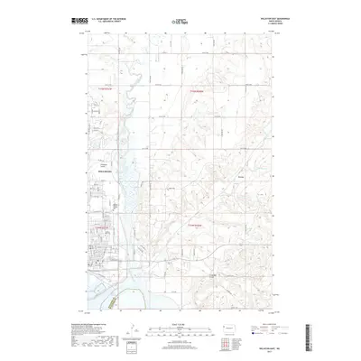
 1959 Williston East1960 Print · USGSWilliston and the Missouri River valley appear at a moment of transition in the late fifties as the Garrison Lake reservoir begins to fill. Genealogists and historians can locate numerous rural schoolhouses like Palmer Sch and Stony Creek Sch or trace the development of Williston near the Wright Airport.2 unique versions available
 - 1983 Map of Williston, 1984 Print
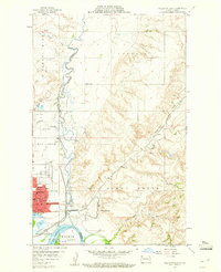
 1983 Williston1984 Print · USGSWilliston and the Missouri River basin are captured here in the early eighties as the regional landscape transitioned into a modern energy and agricultural hub. Researchers can trace the Burlington Northern line through prairie towns like Epping and Wheelock, or explore the riparian geography of Lake Sakakawea.
 - 2011 Map of Williston West, 2011 Print
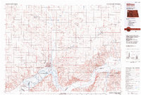
 2011 Williston West2011 Print · USGSCovers Williston, including Williams County, United States, and other nearby areas
 - 2011 Map of Williston East, 2011 Print
 2011 Williston East2011 Print · USGSCovers Williston, including Avoca, Williams County, and other nearby areas
 - 2014 Map of Williston East, 2014 Print
 2014 Williston East2014 Print · USGSCovers Williston, including Avoca, Williams County, and other nearby areas
 - 2014 Map of Williston West, 2014 Print
 2014 Williston West2014 Print · USGSCovers Williston, including Williams County, United States, and other nearby areas
 - 2017 Map of Williston East, 2017 Print
 2017 Williston East2017 Print · USGSCovers Williston, including Avoca, Williams County, and other nearby areas
 - 2017 Map of Williston West, 2017 Print
 2017 Williston West2017 Print · USGSCovers Williston, including Williams County, United States, and other nearby areas
 - 2020 Map of Williston East, 2020 Print
 2020 Williston East2020 Print · USGSCovers Williston, including Avoca, Williams County, and other nearby areas
 - 2020 Map of Williston West, 2020 Print
 2020 Williston West2020 Print · USGSCovers Williston, including Williams County, United States, and other nearby areas
 - 2024 Map of Williston East, 2024 Print
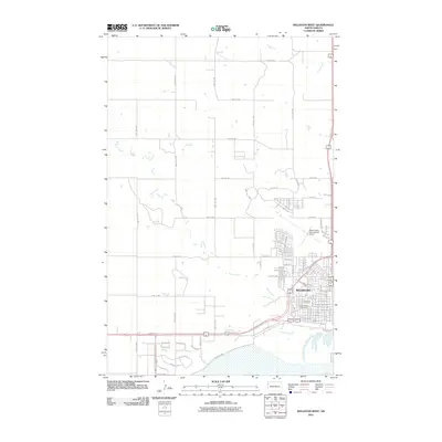
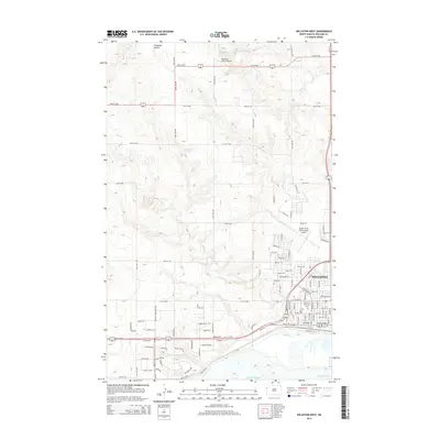
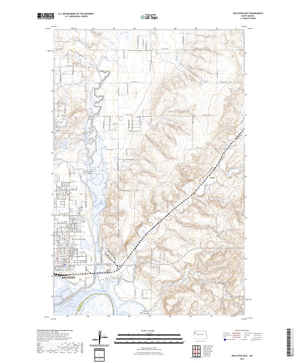 2024 Williston East2024 Print · USGSWilliston expanded into the Missouri River breaks by the early 2020s, as urban development met the winding Little Muddy River. Genealogists and local historians can locate Hillside Memory Gardens, the Williston State College campus, and the Williams County Courthouse.
 - 2024 Map of Williston West, 2024 Print
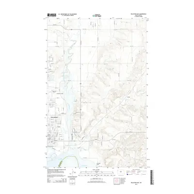
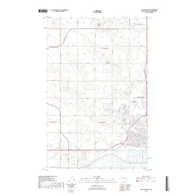
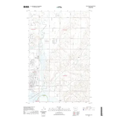
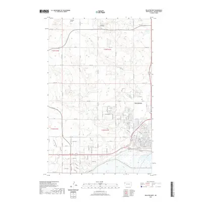
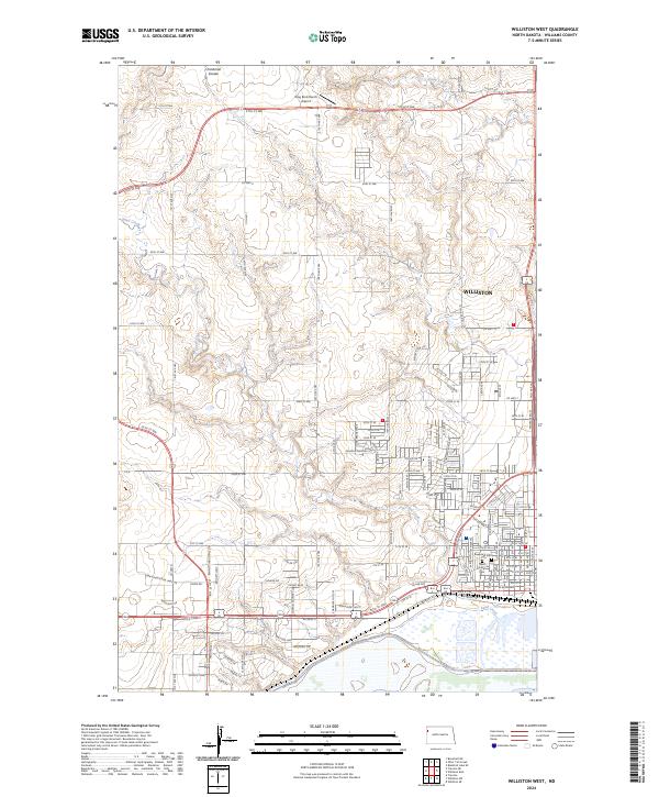 2024 Williston West2024 Print · USGSWilliston and its western outskirts are captured here during a period of modern expansion in Williams County. Genealogists and local researchers can locate burials at Riverview Cem and Saint Joseph Cem or trace the drainage of Sand Creek.
End of results
Showing maps 1-15 of 15
Top cities near Williston
Frequently asked questions
- What are the different types of historical maps available for Williston?
- What is the oldest map of Williston?
- Where can I purchase historical maps of Williston for my home or office?
- Where can I download high-res historical maps of Williston?
- Are there historical topographic maps available for Williston?
- Is there historical aerial imagery available for Williston?
- Where are historical maps of Williston sourced from?