Old Maps of Niagara Falls, New York
Explore 29 old maps of Niagara Falls, spanning from 1894 to today. These high-resolution historic maps reveal how streets, neighborhoods, landmarks, and natural features evolved over time — perfect for genealogy, metal detecting, research, and local history exploration.
What you can do with these maps:
- See how Niagara Falls changed over time: Compare historical maps to modern-day views to trace roads, homesites, rail lines & more.
- View detailed metadata: Each map includes creators, publishers, year, scale, and archive source.
- Overlay maps with satellite & LiDAR: Visualize the past alongside modern tools to explore terrain & human change.
- Trusted historical sources: Maps sourced from the USGS, Library of Congress, and other archives.
- Access maps your way: View online, download high-res files, or order prints for personal or research use.
Start exploring old maps of Niagara Falls to uncover forgotten places, hidden landmarks, and the deep history beneath your feet.
Niagara Falls, NY maps
(29)- 1894 Map of Niagara Falls
 1894 Niagara Falls1894 Print · USGSThe Niagara frontier in the early 1890s shows a landscape of strategic forts and burgeoning rail power. Trace the international border from Fort Niagara past the Brock Monument to the rail hubs at Suspension Bridge.
 - 1896 Map of Niagara Falls
 1896 Niagara Falls1896 Print · USGSThe Niagara frontier at the close of the nineteenth century was a landscape of international boundaries and massive engineering. Trace the complex rail networks through Suspension Bridge or the historic fortifications at Fort Niagara and Fort Massassauga.2 unique versions available
 - 1897 Map of Tonawanda
 1897 Tonawanda1897 Print · USGSNiagara and Erie counties thrived at the close of the nineteenth century as vital corridors of commerce. Genealogists and historians can trace the early rail networks through Pekin or locate riverside landmarks like Sour Spring Grove and the Erie Canal.
 - 1899 Map of Niagara
 1899 Niagara1899 Print · USGSThe Niagara Frontier is mapped here in the late nineteenth century as a bustling corridor of trade and transport. Researchers can trace the path of the Erie Canal through Lockport or locate early rural settlements like Ransomville and the Tuscarora Indian Reservation.6 unique versions available
 - 1900 Map of Tonawanda
 1900 Tonawanda1900 Print · USGSNiagara County and northern Erie County are shown at the turn of the century as the Erie Canal and heavy rail lines drove the growth of the North Tonawanda lumber and shipping hub. Genealogists can trace family footprints in outlying hamlets like Bergholtz, Ransomville, and Martinsville.
 - 1900 Map of Niagara Falls, 1961 Print
 1900 Niagara Falls1961 Print · USGSThe Niagara frontier at the turn of the century shows an intense convergence of industrial power and military history along the international border. Trace the rail-and-river economy through the Suspension Bridge and Michigan Central R. R. or locate old landmarks like Fort Niagara and the Whirlpool.4 unique versions available
 - 1901 Map of Niagara Falls
 1901 Niagara Falls1901 Print · USGSThe Niagara frontier at the dawn of the twentieth century is captured here in striking detail, from the river's mouth to the falls. Trace the dense rail networks of the Niagara Falls area or locate Fort Niagara and the Brock Monument.11 unique versions available
 - 1901 Map of Tonawanda
 1901 Tonawanda1901 Print · USGSAt the turn of the century, the Niagara Frontier was a powerhouse of canal and rail transit. Genealogists can trace family footprints in settlements like Sanborn, Martinsville, and Bergholtz, or follow the original path of the ERIE CANAL through Tonawanda.7 unique versions available
 - 1948 Map of Tonawanda, 1953 Print
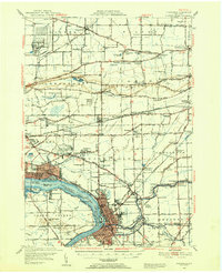 1948 Tonawanda1953 Print · USGSNiagara and Erie counties are shown here just after the war, where the Niagara River meets the historic Erie Canal. Genealogists and local historians can trace the early layout of North Tonawanda or locate family sites at Molyneaux Corners and Colonial Village.3 unique versions available
 - 1948 Map of Tonawanda West, 1958 Print
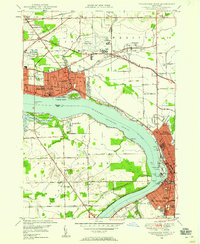 1948 Tonawanda West1958 Print · USGSThe industrial and riverfront character of the Niagara frontier is on full display during the postwar era. Genealogists and historians can trace rail networks like the New York Central RR and locate local landmarks such as Bishop Duffy High Sch or the Holy Ghost Cem (Church).2 unique versions available
 - 1949 Map of Niagara Falls
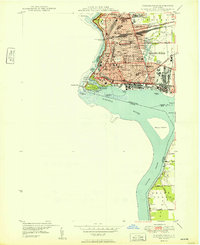 1949 Niagara Falls1949 Print · USGSNiagara Falls at the close of the 1940s showcases a dense urban grid and international border long before modern redevelopment. Genealogists can trace family neighborhoods through sites like Oakwood Cem and Gaskill High Sch.
 - 1950 Map of Tonawanda West
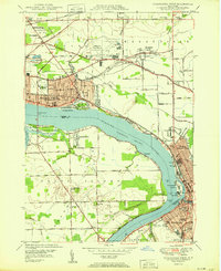 1950 Tonawanda West1950 Print · USGSNiagara Falls and North Tonawanda are captured during a period of major post-war industrial and suburban growth. Researchers can trace the development of Cayuga Island, find local schools like Gratwick Sch, and locate family plots at White Haven Cem.
 - 1950 Map of Lewiston
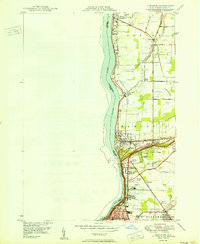 1950 Lewiston1950 Print · USGSThe Niagara frontier at mid-century shows a landscape of growing townships and historic river crossings just north of the falls. Genealogists can locate family sites at Beth Israel Cem, St Bernards Cem, or the campus of Niagara University.
 - 1952 Map of Toronto, 1954 Print
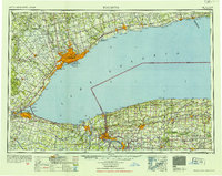 1952 Toronto1954 Print · USGSLake Ontario and the international border define this mid-century landscape of rapid industrial and suburban growth. Researchers can trace the vital shipping and rail corridors of the era, from the Welland Canal to the New York Central Railroad.
 - 1954 Map of Tonawanda West
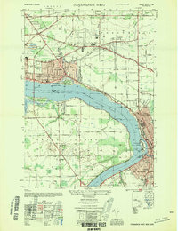 1954 Tonawanda West1954 Print · USGSThe Niagara River corridor and Grand Island are captured during a mid-century period of industrial and suburban growth. Researchers can locate family landmarks like St Johnsburg, Holy Ghost Cem, and Bishop Duffy High Sch.
 - 1962 Map of Toronto, 1982 Print
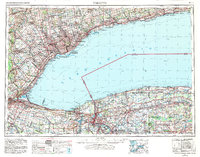 1962 Toronto1982 Print · USGSThe Golden Horseshoe and the Niagara Frontier meet in this early 1960s study of a growing international border region. Trace the path of the Welland Canal and locate land marks like the Scarborough Bluffs and Tuscarora Indian Reservation.
 - 1965 Map of Toronto
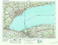 1965 Toronto1965 Print · USGSThe Golden Horseshoe and Niagara Frontier are shown in detail during the early sixties, highlighting the international shipping and transit networks. Trace the path of the Erie Canal, the Welland Canal, and rail lines connecting Toronto and Niagara Falls.2 unique versions available
 - 1965 Map of Tonawanda West, 1967 Print
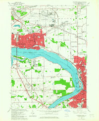 1965 Tonawanda West1967 Print · USGSNiagara and Erie counties are captured here in the mid-sixties, a period of heavy industrial activity and Cold War aviation expansion. Researchers can trace family sites like Holy Ghost Cem or explore the massive layout of the Niagara Falls Air Force Base and the riverfront Buckhorn Island State Park.
 - 1965 Map of Niagara Falls, 1968 Print
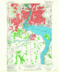 1965 Niagara Falls1968 Print · USGSThe Niagara frontier in the mid-sixties shows a landscape of world-famous cataracts and a thriving urban industrial core. Researchers can trace the neighborhood footprints of Stamford Centre and Chippawa or locate local landmarks like Oakwood Cem and Holy Trinity Sch.
 - 1965 Map of Lewiston, 1968 Print
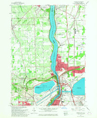 1965 Lewiston1968 Print · USGSThe Niagara frontier in the mid-sixties reveals a landscape of international transit and institutional growth along the Niagara River. Researchers can locate historic religious sites like the Stella Niagara Seminary and trace the topography of the Niagara Escarpment.
 - 1980 Map of Tonawanda West
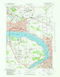 1980 Tonawanda West1980 Print · USGSThe Niagara River frontier in the early 1980s reveals a landscape of heavy industry, military aviation, and growing suburbs. Researchers can trace historic cemeteries like Holy Ghost Cem, local schools such as Duffy High Sch, and the layout of Grand Island.
 - 1980 Map of Lewiston, 1981 Print
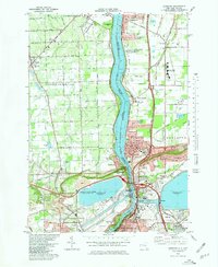 1980 Lewiston1981 Print · USGSNiagara County and the international border are seen here in the 1980s, showcasing the massive power infrastructure along the river. Genealogists and researchers can locate Riverdale Cemetery, Stella Niagara Seminary, and the unique Our Lady of Fatima Shrine.
 - 1980 Map of Niagara Falls, 1981 Print
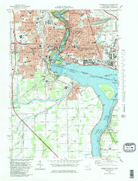 1980 Niagara Falls1981 Print · USGSNiagara Falls and its international surrounds are captured in the early eighties as a hub of hydropower and tourism. Genealogists and historians can trace neighborhood schools like Gaskill High School, resting places like Oakwood Cemetery, and rail junctions at Montrose Junction.
 - 1984 Map of Lockport, 1985 Print
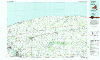 1984 Lockport1985 Print · USGSWestern New York in the 1980s shows a landscape of lakefront parks, industrial rail corridors, and vast protected wetlands. Genealogists and historians can trace the legacy of local families through sites like Acacia Park Cem or the Tuscarora Indian Reservation.2 unique versions available
 - 1986 Map of Niagara Falls
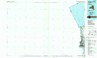 1986 Niagara Falls1986 Print · USGSThe Niagara frontier in the mid-eighties shows a landscape of heavy power generation and riverfront parkland. Trace the residential growth of Lewiston and Youngstown or locate landmarks like Old Fort Niagara and the Niagara Escarpment.2 unique versions available
Showing maps 1-25 of 29
Top cities near Niagara Falls
- Buffalo historical maps
- Amherst historical maps
- Cheektowaga historical maps
- Tonawanda historical maps
- West Seneca historical maps
- North Tonawanda historical maps
See more
Top neighborhoods of Niagara Falls
Frequently asked questions
- What are the different types of historical maps available for Niagara Falls?
- What is the oldest map of Niagara Falls?
- Where can I purchase historical maps of Niagara Falls for my home or office?
- Where can I download high-res historical maps of Niagara Falls?
- Are there historical topographic maps available for Niagara Falls?
- Is there historical aerial imagery available for Niagara Falls?
- Where are historical maps of Niagara Falls sourced from?