2000s (21st Century) Maps of Dorset Township, Ohio
Explore 10 historic maps of Dorset Township from the 2000s (21st Century). These maps offer a rare glimpse into what life looked like during the 2000s — showing old roads, neighborhoods, homes, and landmarks that have changed or disappeared over time.
Whether you're researching your family's past, planning a metal detecting trip, or studying how Dorset Township's landscape evolved across the 2000s, these high-resolution maps are a powerful tool for exploring the history of this region.
- Focus on a specific era: All maps on this page are from the 2000s, giving you a focused view of this time period.
- See what’s changed: Compare century-old streets, trails, and buildings to today's modern landscape using overlays and satellite layers.
- Research with precision: Use these maps for genealogy, historical research, land use analysis, or educational projects.
- View, download, or print: Maps are fully viewable online in high resolution, and can be downloaded or printed for your own records.
Start exploring Dorset Township's history through authentic maps from the 2000s. This is your window into the past.
Dorset Township, OH maps
(10)- 2010 Map of Dorset, 2010 Print
 2010 Dorset2010 Print · USGSCovers Dorset Township, including Jefferson, Jefferson Township, and other nearby areas
 - 2010 Map of Leon, 2010 Print
 2010 Leon2010 Print · USGSCovers Dorset Township, including Pierpont Township, Denmark Township, and other nearby areas
 - 2013 Map of Dorset, 2013 Print
 2013 Dorset2013 Print · USGSCovers Dorset Township, including Jefferson, Jefferson Township, and other nearby areas
 - 2013 Map of Leon, 2013 Print
 2013 Leon2013 Print · USGSCovers Dorset Township, including Pierpont Township, Denmark Township, and other nearby areas
 - 2016 Map of Dorset, 2016 Print
 2016 Dorset2016 Print · USGSCovers Dorset Township, including Jefferson, Jefferson Township, and other nearby areas
 - 2016 Map of Leon, 2016 Print
 2016 Leon2016 Print · USGSCovers Dorset Township, including Pierpont Township, Denmark Township, and other nearby areas
 - 2019 Map of Leon, 2019 Print
 2019 Leon2019 Print · USGSCovers Dorset Township, including Pierpont Township, Denmark Township, and other nearby areas
 - 2019 Map of Dorset, 2019 Print
 2019 Dorset2019 Print · USGSCovers Dorset Township, including Jefferson, Jefferson Township, and other nearby areas
 - 2023 Map of Dorset, 2023 Print
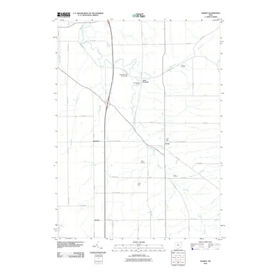
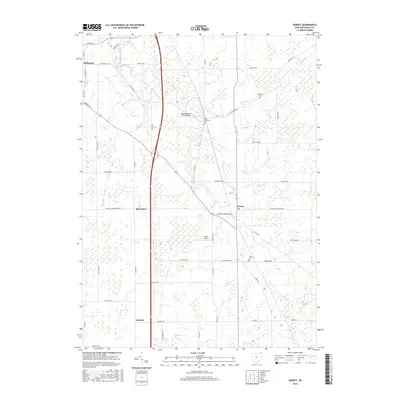
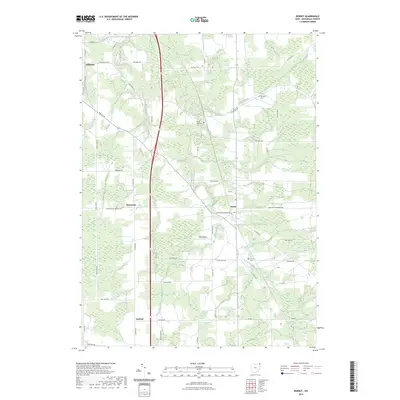 2023 Dorset2023 Print · USGSAshtabula County's rural interior is captured here in the early twenty-first century, showing a landscape of traditional farming settlements and meandering creeks. Researchers can trace family history at the Dorset Cem or locate the small landing strips at Allen Airport near Rowenton.
 - 2023 Map of Leon, 2023 Print
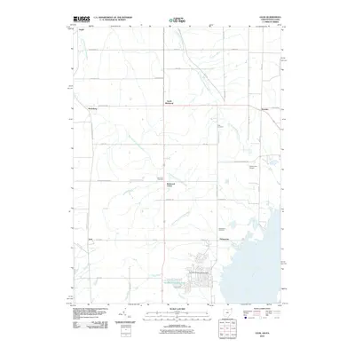
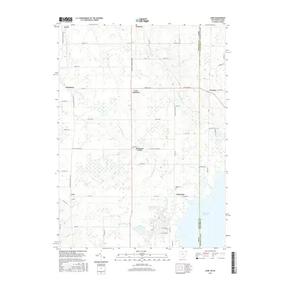
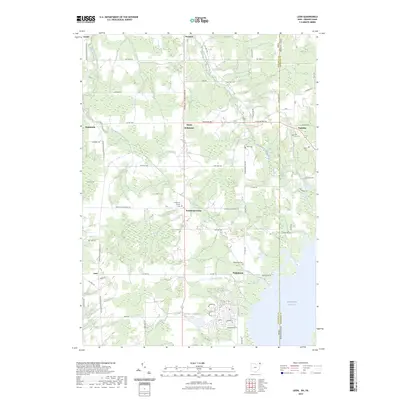 2023 Leon2023 Print · USGSThe rural borderlands of Ohio and Pennsylvania come to life in this recent survey of the settlements near the Pymatuning Reservoir. Genealogists and historians can trace local family lineages through several small burial sites, including Richmond Center Cem, Dart Cem, and the community at Padanaram.
End of results
Showing maps 1-10 of 10
Top cities near Dorset Township
- Ashtabula historical maps
- Conneaut historical maps
- Saybrook historical maps
- Edgewood historical maps
- Jefferson historical maps
- Jefferson Township historical maps
See more
Top neighborhoods of Dorset Township
Frequently asked questions
- What are the different types of historical maps available for Dorset Township?
- What is the oldest map of Dorset Township?
- Where can I purchase historical maps of Dorset Township for my home or office?
- Where can I download high-res historical maps of Dorset Township?
- Are there historical topographic maps available for Dorset Township?
- Is there historical aerial imagery available for Dorset Township?
- Where are historical maps of Dorset Township sourced from?