Old Maps of Saybrook Township, Ohio for Academic Research
Study the evolution of Saybrook Township with 29 high-resolution historic maps. Whether you're teaching, researching, or modeling changes in land use, these maps provide essential visual documentation of urban, environmental, and geographic change.
- Analyze long-term change: Track patterns in development, transportation, and natural features.
- Ideal for environmental or urban studies: Support academic projects with primary historical map data.
- Use in the classroom or lab: Educators and researchers rely on these maps to bring historical context to life.
These maps are a powerful tool for teaching, research, and visualizing how Saybrook Township has changed over the decades.
Saybrook Township, OH maps
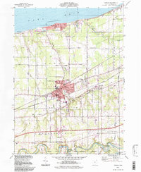
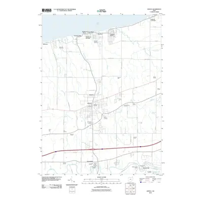
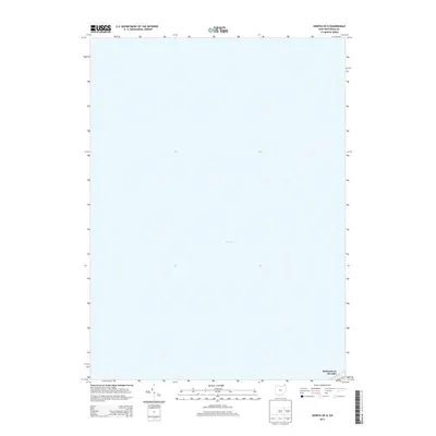
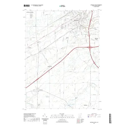
(29)- 1905 Map of Ashtabula
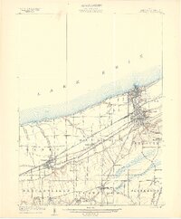 1905 Ashtabula1905 Print · USGSAshtabula and its Lake Erie shoreline were a powerhouse of rail and maritime activity during the early twentieth century. Researchers can trace the complex harbor docks at Sweden, the industrial rail hubs in Geneva, and inland riverside hamlets like Mechanicsville or Austinburg.5 unique versions available
 - 1950 Map of Cleveland
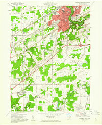
 1950 Cleveland1950 Print · USGSCovers Saybrook Township, including Cleveland, Akron, and other nearby areas
 - 1956 Map of Cleveland, 1967 Print
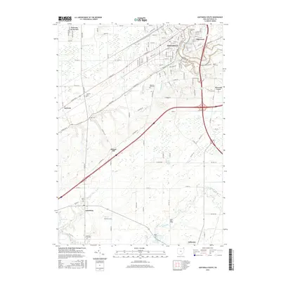
 1956 Cleveland1967 Print · USGSNortheast Ohio and Western Pennsylvania are shown at their industrial height during the mid-fifties, from the steel mills to the lakeshore. Researchers can trace the massive Ravenna Arsenal, the Ohio Turnpike, and vanished rail sidings of the B & O RR.3 unique versions available
 - 1960 Map of Ashtabula South, 1961 Print
 1960 Ashtabula South1961 Print · USGSAshtabula and its southern outskirts are captured here during the early sixties, showing the city's growth alongside its deep river valleys. Genealogists and local historians can trace family locations near the Grand River Academy High Sch, the Covered Bridge, and various landmarks like the Ridgeview Burial Park.3 unique versions available
 - 1960 Map of Ashtabula North, 1961 Print
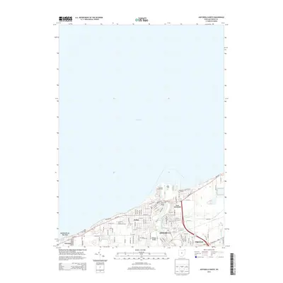
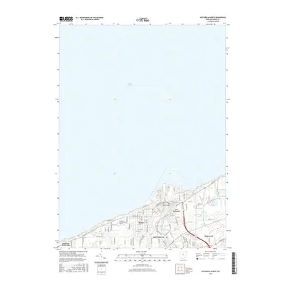
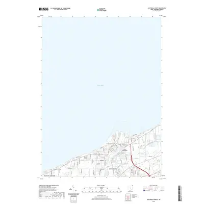
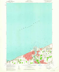 1960 Ashtabula North1961 Print · USGSAshtabula flourished as a major Lake Erie port and rail hub during the early sixties. Genealogists and local historians can trace neighborhood growth through landmarks like St Josephs Cem, Columbus Sch, and the Ashtabula Harbor.4 unique versions available
 - 1960 Map of Geneva, 1961 Print
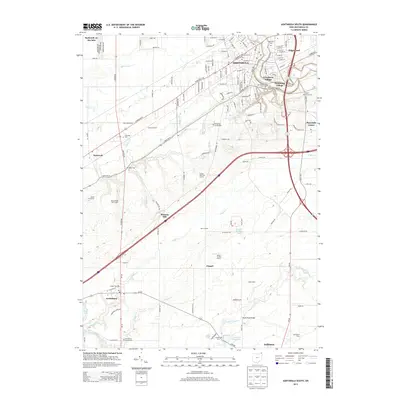
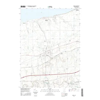
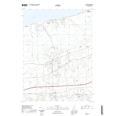
 1960 Geneva1961 Print · USGSThe Lake Erie shoreline and the city of Geneva are captured here in the early sixties, showing a landscape defined by resort growth and heavy rail. Trace family heritage at Evergreen Cem or follow the Grand River past Mechanicsville.5 unique versions available
 - 1962 Map of Cleveland
 1962 Cleveland1962 Print · USGSNortheast Ohio and the Pennsylvania borderlands appear here during the industrial peak of the early sixties. Genealogists and historians can trace the expansive rail lines of the Nickel Plate Road and the growth of suburbs from Parma to Lyndhurst.
 - 1986 Map of Ashtabula
 1986 Ashtabula1986 Print · USGSThe Lake Erie shoreline and the rural borderlands of Ohio and Pennsylvania are captured here as they appeared in the 1980s. You can trace industrial rail lines like the BESSEMER AND LAKE ERIE or locate family sites near Kelloggsville Cem and Pymatuning State Park.2 unique versions available
 - 1994 Map of Geneva, 1997 Print
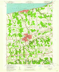
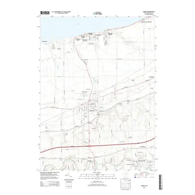
 1994 Geneva1997 Print · USGSAshtabula County's lakefront and river valleys are captured here during the mid-nineties, showing the blend of resort life and rural tradition. Researchers can trace family roots at Evergreen Cem or locate the Covered Bridge and Mechanicsville along the Grand River.
 - 2010 Map of Ashtabula North, 2010 Print
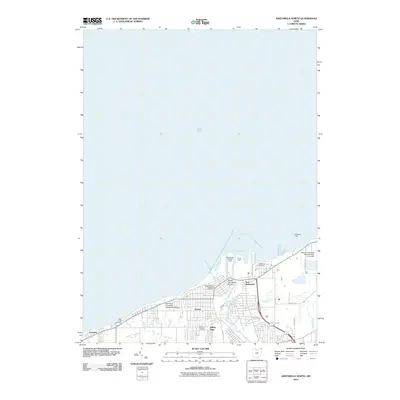 2010 Ashtabula North2010 Print · USGSCovers Saybrook Township, including Ashtabula, Ashtabula Township, and other nearby areas
 - 2010 Map of Geneva OE N, 2010 Print
 2010 Geneva OE N2010 Print · USGSCovers Saybrook Township, including Ashtabula County, United States, and other nearby areas
 - 2010 Map of Ashtabula South, 2010 Print
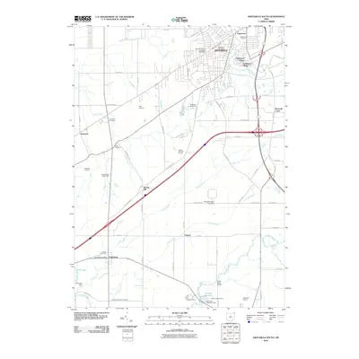 2010 Ashtabula South2010 Print · USGSCovers Saybrook Township, including Ashtabula, Saybrook, and other nearby areas
 - 2010 Map of Geneva, 2010 Print
 2010 Geneva2010 Print · USGSCovers Saybrook Township, including Geneva, Harpersfield, and other nearby areas
 - 2013 Map of Ashtabula North, 2013 Print
 2013 Ashtabula North2013 Print · USGSCovers Saybrook Township, including Ashtabula, Ashtabula Township, and other nearby areas
 - 2013 Map of Ashtabula South, 2013 Print
 2013 Ashtabula South2013 Print · USGSCovers Saybrook Township, including Ashtabula, Saybrook, and other nearby areas
 - 2013 Map of Geneva, 2013 Print
 2013 Geneva2013 Print · USGSCovers Saybrook Township, including Geneva, Harpersfield, and other nearby areas
 - 2013 Map of Geneva OE N, 2013 Print
 2013 Geneva OE N2013 Print · USGSCovers Saybrook Township, including Ashtabula County, United States, and other nearby areas
 - 2016 Map of Ashtabula South, 2016 Print
 2016 Ashtabula South2016 Print · USGSCovers Saybrook Township, including Ashtabula, Saybrook, and other nearby areas
 - 2016 Map of Geneva, 2016 Print
 2016 Geneva2016 Print · USGSCovers Saybrook Township, including Geneva, Harpersfield, and other nearby areas
 - 2016 Map of Ashtabula North, 2016 Print
 2016 Ashtabula North2016 Print · USGSCovers Saybrook Township, including Ashtabula, Ashtabula Township, and other nearby areas
 - 2016 Map of Geneva OE N, 2016 Print
 2016 Geneva OE N2016 Print · USGSCovers Saybrook Township, including Ashtabula County, United States, and other nearby areas
 - 2019 Map of Geneva, 2019 Print
 2019 Geneva2019 Print · USGSCovers Saybrook Township, including Geneva, Harpersfield, and other nearby areas
 - 2019 Map of Ashtabula North, 2019 Print
 2019 Ashtabula North2019 Print · USGSCovers Saybrook Township, including Ashtabula, Ashtabula Township, and other nearby areas
 - 2019 Map of Geneva OE N, 2019 Print
 2019 Geneva OE N2019 Print · USGSCovers Saybrook Township, including Ashtabula County, United States, and other nearby areas
 - 2019 Map of Ashtabula South, 2019 Print
 2019 Ashtabula South2019 Print · USGSCovers Saybrook Township, including Ashtabula, Saybrook, and other nearby areas
Showing maps 1-25 of 29
Top cities near Saybrook Township
- Ashtabula historical maps
- Saybrook historical maps
- North Madison historical maps
- Geneva historical maps
- Edgewood historical maps
- Madison historical maps
See more
Top neighborhoods of Saybrook Township
Frequently asked questions
- What are the different types of historical maps available for Saybrook Township?
- What is the oldest map of Saybrook Township?
- Where can I purchase historical maps of Saybrook Township for my home or office?
- Where can I download high-res historical maps of Saybrook Township?
- Are there historical topographic maps available for Saybrook Township?
- Is there historical aerial imagery available for Saybrook Township?
- Where are historical maps of Saybrook Township sourced from?