Old Maps of Madison Township, Ohio
Explore 27 old maps of Madison Township, spanning from 1904 to today. These high-resolution historic maps reveal how streets, neighborhoods, landmarks, and natural features evolved over time — perfect for genealogy, metal detecting, research, and local history exploration.
What you can do with these maps:
- See how Madison Township changed over time: Compare historical maps to modern-day views to trace roads, homesites, rail lines & more.
- View detailed metadata: Each map includes creators, publishers, year, scale, and archive source.
- Overlay maps with satellite & LiDAR: Visualize the past alongside modern tools to explore terrain & human change.
- Trusted historical sources: Maps sourced from the USGS, Library of Congress, and other archives.
- Access maps your way: View online, download high-res files, or order prints for personal or research use.
Start exploring old maps of Madison Township to uncover forgotten places, hidden landmarks, and the deep history beneath your feet.
Madison Township, OH maps
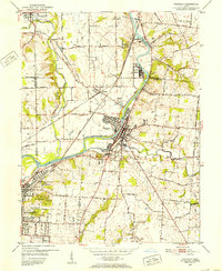
(27)- 1904 Map of Mason, 1958 Print
 1904 Mason1958 Print · USGSSouthwestern Ohio at the turn of the century is a landscape of thriving canal-era towns and expanding rail corridors. Genealogists and researchers can trace the early layouts of Union Village, Shaker Village, and the industrial riverside at Kings Mills.
 - 1906 Map of Mason, 1939 Print
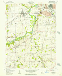
 1906 Mason1939 Print · USGSWarren and Butler counties are shown here in the first decade of the 1900s, when electric railways were transforming rural life. Genealogists can trace family roots through old hubs like Union Village, Kings Mills, and Amanda Excello P O.2 unique versions available
 - 1908 Map of Miamisburg, 1948 Print
 1908 Miamisburg1948 Print · USGSThe Miami Valley at the start of the twentieth century was a hub of electric traction lines and canal history. Genealogists and historians can trace the early layouts of Miamisburg and Franklin, or locate landmarks like Browns Chapel and the National Military Home.
 - 1951 Map of Franklin, 1953 Print
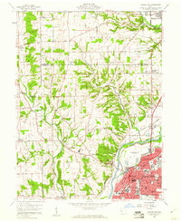
 1951 Franklin1953 Print · USGSThe industrial corridor of the Great Miami River valley thrives in the early 1950s as a major rail hub for the New York Central and Baltimore and Ohio. Genealogists can trace family landmarks like Swartzel Cem and Stettler Ch or locate the ancient Indian Mound overlooking the river.
 - 1953 Map of Cincinnati, 1965 Print
 1953 Cincinnati1965 Print · USGSThe Ohio River valley and the industrial heartland of Indiana and Ohio are captured here during the mid-century peak of rail and river commerce. Genealogists and historians can trace connections between Cincinnati and outlying military sites like Camp Atterbury and Bakalar AFB.3 unique versions available
 - 1955 Map of Trenton, 1956 Print
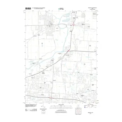
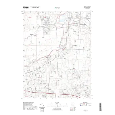
 1955 Trenton1956 Print · USGSButler County in the mid-fifties shows the industrial and recreational pulse along the Miami River between Middletown and Hamilton. Genealogists and historians can trace family plots at Shafer Farm Cem, visit the Amusement Park, or locate the Amanda Sta railroad stop.
 - 1957 Map of Cincinnati
 1957 Cincinnati1957 Print · USGSThe Ohio River valley and its surrounding highlands thrived during the mid-fifties industrial peak, centered on the bustling Cincinnati and Dayton metropolitan hubs. Researchers can trace the extensive rail networks and military sites like Wright-Patterson AFB and Camp Atterbury.
 - 1959 Map of Middletown, 1961 Print
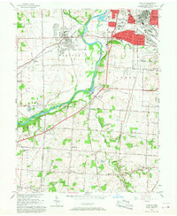
 1959 Middletown1961 Print · USGSThe Miami Valley in the late fifties shows a region in transition between its river-and-rail origins and the modern industrial era. Genealogists can trace family names through the Elk Creek Cem, Astoria Cem, and local school locations like Madison High Sch.5 unique versions available
 - 1965 Map of Franklin, 1967 Print
 1965 Franklin1967 Print · USGSMiddletown and Franklin thrive along the river and rail corridors of the Miami Valley in the mid-1960s. Genealogists and researchers can trace local landmarks like Wood Hill Cemetery, Stettler Ch, and the sprawling Mound Laboratory (AEC) complex.5 unique versions available
 - 1966 Map of Trenton, 1968 Print
 1966 Trenton1968 Print · USGSThe industrial corridor of the Great Miami River valley is captured here in the mid-1960s as suburban growth met rural township life. Researchers can locate family sites and landmarks like Miltonville Cem, Babeck Sch, and the rail lines of the Baltimore and Ohio.5 unique versions available
 - 1986 Map of Cincinnati
 1986 Cincinnati1986 Print · USGSGreater Cincinnati and its tri-state surrounds are captured here in the mid-eighties as suburban growth reached into the neighboring hills and river valleys. Researchers can trace the development of transit hubs like Greater Cincinnati International Airport and historic sites such as Spring Grove Cemetery.3 unique versions available
 - 1986 Map of Dayton
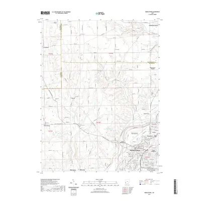
 1986 Dayton1986 Print · USGSThe Miami Valley and the Indiana-Ohio borderlands reached a peak of suburban and industrial connectivity in the mid-eighties. Genealogists and historians can trace family burial sites at Miami Memorial Garden (Cem) and the development surrounding Wright-Patterson Air Force Base.2 unique versions available
 - 2010 Map of Middletown, 2010 Print
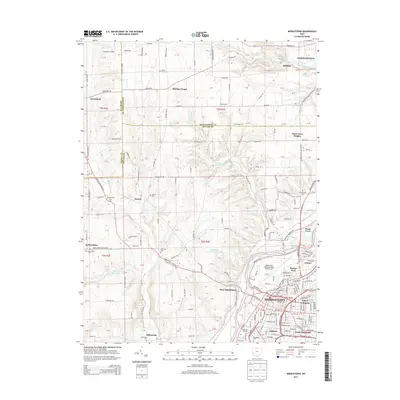
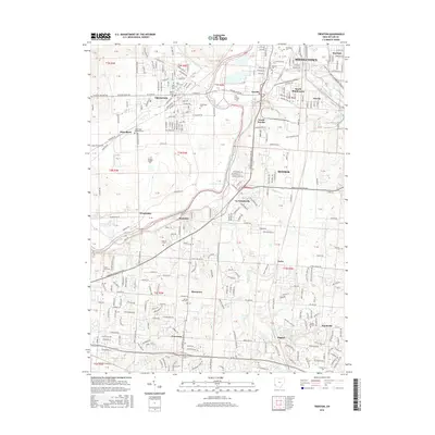
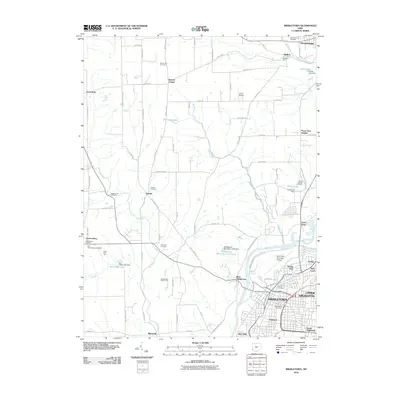 2010 Middletown2010 Print · USGSCovers Madison Township, including Middletown, Trenton, and other nearby areas
 - 2010 Map of Trenton, 2010 Print
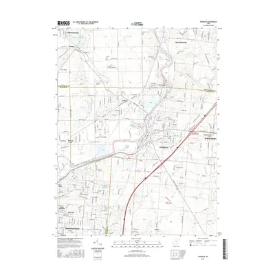
 2010 Trenton2010 Print · USGSCovers Madison Township, including Middletown, Lemon Township, and other nearby areas
 - 2010 Map of Franklin, 2010 Print
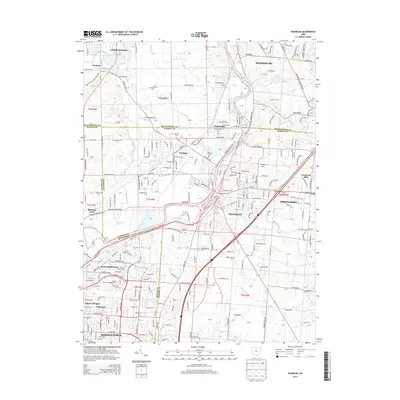
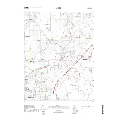
 2010 Franklin2010 Print · USGSCovers Madison Township, including Middletown, Miamisburg, and other nearby areas
 - 2013 Map of Middletown, 2013 Print
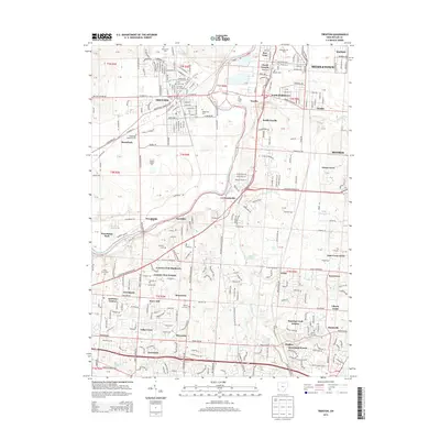
 2013 Middletown2013 Print · USGSCovers Madison Township, including Middletown, Trenton, and other nearby areas
 - 2013 Map of Trenton, 2013 Print
 2013 Trenton2013 Print · USGSCovers Madison Township, including Middletown, Lemon Township, and other nearby areas
 - 2013 Map of Franklin, 2013 Print
 2013 Franklin2013 Print · USGSCovers Madison Township, including Middletown, Miamisburg, and other nearby areas
 - 2016 Map of Middletown, 2016 Print
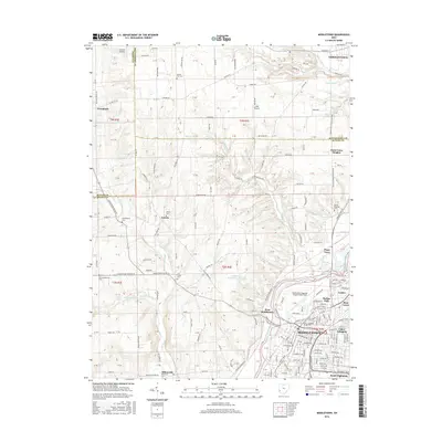 2016 Middletown2016 Print · USGSCovers Madison Township, including Middletown, Trenton, and other nearby areas
 - 2016 Map of Trenton, 2016 Print
 2016 Trenton2016 Print · USGSCovers Madison Township, including Middletown, Lemon Township, and other nearby areas
 - 2016 Map of Franklin, 2016 Print
 2016 Franklin2016 Print · USGSCovers Madison Township, including Middletown, Miamisburg, and other nearby areas
 - 2019 Map of Franklin, 2019 Print
 2019 Franklin2019 Print · USGSCovers Madison Township, including Middletown, Miamisburg, and other nearby areas
 - 2019 Map of Middletown, 2019 Print
 2019 Middletown2019 Print · USGSCovers Madison Township, including Middletown, Trenton, and other nearby areas
 - 2019 Map of Trenton, 2019 Print
 2019 Trenton2019 Print · USGSCovers Madison Township, including Middletown, Lemon Township, and other nearby areas
 - 2023 Map of Middletown, 2023 Print
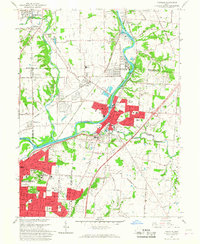
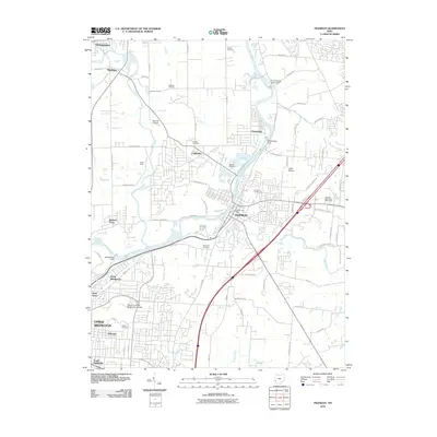
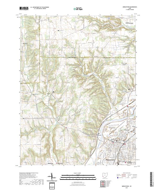 2023 Middletown2023 Print · USGSThe Great Miami River valley in the early twenty-first century reveals a landscape where the urban reach of Middletown meets the rural roots of Butler County. Researchers can pinpoint family history at Old Jacksonburg Cem or trace the development of small settlements like Poast Town and Miltonville.
Showing maps 1-25 of 27
Top cities near Madison Township
- Dayton historical maps
- Hamilton historical maps
- Kettering historical maps
- Middletown historical maps
- Fairfield historical maps
- Mason historical maps
See more
Top neighborhoods of Madison Township
- Miltonville historical maps
- Poast Town Heights historical maps
- Poasttown historical maps
- West Middletown historical maps
- Astoria historical maps
- Rickard Acres historical maps
See more
Frequently asked questions
- What are the different types of historical maps available for Madison Township?
- What is the oldest map of Madison Township?
- Where can I purchase historical maps of Madison Township for my home or office?
- Where can I download high-res historical maps of Madison Township?
- Are there historical topographic maps available for Madison Township?
- Is there historical aerial imagery available for Madison Township?
- Where are historical maps of Madison Township sourced from?