2020s Maps of Thornhill, Orange Township
Explore 1 historic maps of Thornhill from the 2020s. These maps offer a rare glimpse into what life looked like during the 2020s — showing old roads, neighborhoods, homes, and landmarks that have changed or disappeared over time.
Whether you're researching your family's past, planning a metal detecting trip, or studying how Thornhill's landscape evolved across the 2020s, these high-resolution maps are a powerful tool for exploring the history of this region.
- Focus on a specific era: All maps on this page are from the 2020s, giving you a focused view of this time period.
- See what’s changed: Compare century-old streets, trails, and buildings to today's modern landscape using overlays and satellite layers.
- Research with precision: Use these maps for genealogy, historical research, land use analysis, or educational projects.
- View, download, or print: Maps are fully viewable online in high resolution, and can be downloaded or printed for your own records.
Start exploring Thornhill's history through authentic maps from the 2020s. This is your window into the past.
Thornhill, Orange Township maps
(1)- 2023 Map of Bowerston, 2023 Print
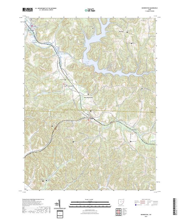 2023 Bowerston2023 Print · USGSThe rolling hill country of Carroll and Harrison Counties comes into focus in this recent survey. Local historians can trace family roots at Leesville Cem, Mount Tabor Cem, and the settlements along the winding Conotton Creek.
End of results
Showing maps 1-1 of 1
Top cities near Thornhill
- New Philadelphia historical maps
- Uhrichsville historical maps
- Goshen historical maps
- Cadiz historical maps
- Carrollton historical maps
- Dennison historical maps
See more
Frequently asked questions
- What are the different types of historical maps available for Thornhill?
- What is the oldest map of Thornhill?
- Where can I purchase historical maps of Thornhill for my home or office?
- Where can I download high-res historical maps of Thornhill?
- Are there historical topographic maps available for Thornhill?
- Is there historical aerial imagery available for Thornhill?
- Where are historical maps of Thornhill sourced from?