2000s (21st Century) Maps of Owensville, Stonelick Township
Explore 10 historic maps of Owensville from the 2000s (21st Century). These maps offer a rare glimpse into what life looked like during the 2000s — showing old roads, neighborhoods, homes, and landmarks that have changed or disappeared over time.
Whether you're researching your family's past, planning a metal detecting trip, or studying how Owensville's landscape evolved across the 2000s, these high-resolution maps are a powerful tool for exploring the history of this region.
- Focus on a specific era: All maps on this page are from the 2000s, giving you a focused view of this time period.
- See what’s changed: Compare century-old streets, trails, and buildings to today's modern landscape using overlays and satellite layers.
- Research with precision: Use these maps for genealogy, historical research, land use analysis, or educational projects.
- View, download, or print: Maps are fully viewable online in high resolution, and can be downloaded or printed for your own records.
Start exploring Owensville's history through authentic maps from the 2000s. This is your window into the past.
Owensville, Stonelick Township maps
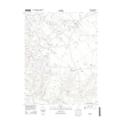
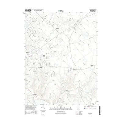
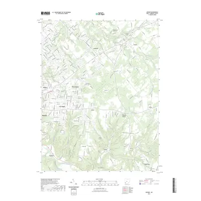
(10)- 2010 Map of Goshen, 2010 Print
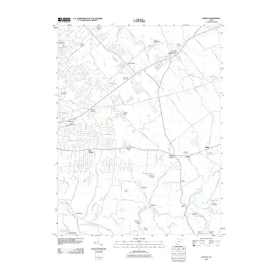 2010 Goshen2010 Print · USGSCovers Owensville, including Stonelick Township, Mulberry, and other nearby areas
 - 2010 Map of Batavia, 2010 Print
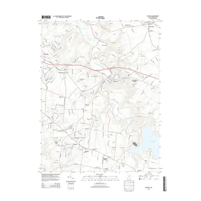
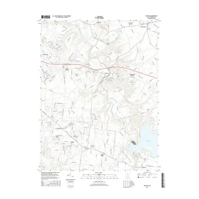
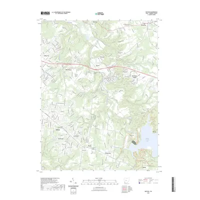
 2010 Batavia2010 Print · USGSCovers Owensville, including Stonelick Township, Amelia, and other nearby areas
 - 2013 Map of Goshen, 2013 Print
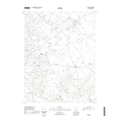
 2013 Goshen2013 Print · USGSCovers Owensville, including Stonelick Township, Mulberry, and other nearby areas
 - 2013 Map of Batavia, 2013 Print
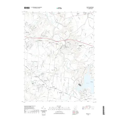
 2013 Batavia2013 Print · USGSCovers Owensville, including Stonelick Township, Amelia, and other nearby areas
 - 2016 Map of Goshen, 2016 Print
 2016 Goshen2016 Print · USGSCovers Owensville, including Stonelick Township, Mulberry, and other nearby areas
 - 2016 Map of Batavia, 2016 Print
 2016 Batavia2016 Print · USGSCovers Owensville, including Stonelick Township, Amelia, and other nearby areas
 - 2019 Map of Goshen, 2019 Print
 2019 Goshen2019 Print · USGSCovers Owensville, including Stonelick Township, Mulberry, and other nearby areas
 - 2019 Map of Batavia, 2019 Print
 2019 Batavia2019 Print · USGSCovers Owensville, including Stonelick Township, Amelia, and other nearby areas
 - 2023 Map of Goshen, 2023 Print
 2023 Goshen2023 Print · USGSClermont County's transition from rural farmland to residential communities is on display in this contemporary study of the Goshen area. Genealogists and local historians can trace burial sites from Goshen Cem to Olive Cem and the heights of Galley Hill.
 - 2023 Map of Batavia, 2023 Print
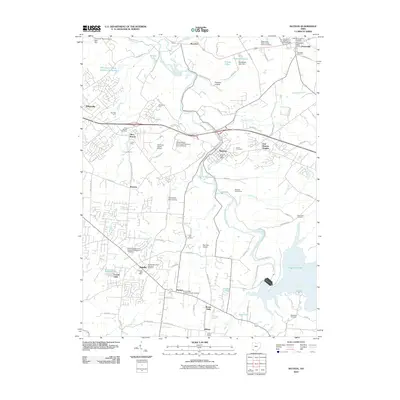
 2023 Batavia2023 Print · USGSClermont County in the early 2020s shows a landscape of established civic hubs and modern institutions. Genealogists can trace family names at the Old Bethel Cem and Amelia Methodist Episcopal Cem, or locate landmarks like the Clermont County Airport.
End of results
Showing maps 1-10 of 10
Top cities near Owensville
- Mason historical maps
- Sharonville historical maps
- Loveland historical maps
- Blue Ash historical maps
- Montgomery historical maps
- Madeira historical maps
See more
Frequently asked questions
- What are the different types of historical maps available for Owensville?
- What is the oldest map of Owensville?
- Where can I purchase historical maps of Owensville for my home or office?
- Where can I download high-res historical maps of Owensville?
- Are there historical topographic maps available for Owensville?
- Is there historical aerial imagery available for Owensville?
- Where are historical maps of Owensville sourced from?